Blairshinnoch Dam Wood

Wood, Forest in Kirkcudbrightshire

Scotland

Blairshinnoch Dam Wood

Drumcoltran Tower Mid 16th Century tower, property maintained by Historic Scotland.
Drumcoltran Tower Credit: Alison Stamp

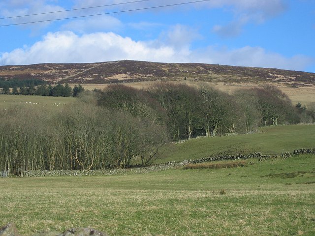
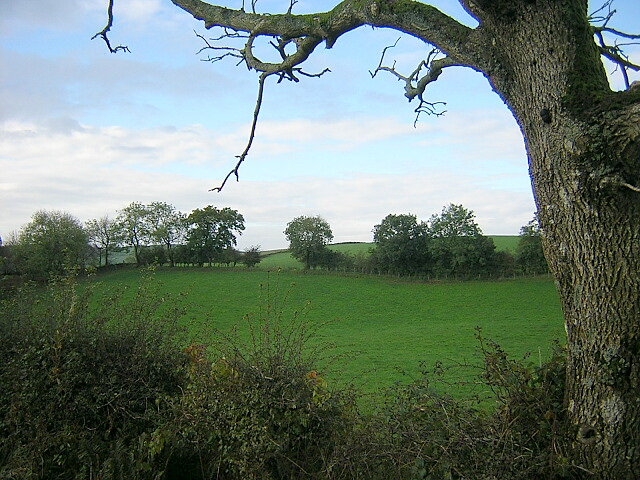
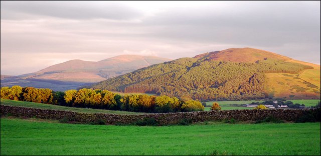
Blairshinnoch Dam Wood is a picturesque forest located in Kirkcudbrightshire, Scotland. Covering an area of approximately 100 hectares, it is nestled within the beautiful Galloway Hills, offering visitors a serene and tranquil environment to explore.

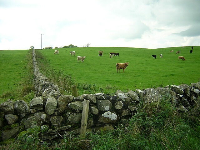
The wood is mostly comprised of native broadleaved species, with a dense canopy of oak, birch, and rowan trees dominating the landscape. These trees provide a habitat for a wide variety of wildlife, including red squirrels, roe deer, and a plethora of bird species. Birdwatchers will find themselves immersed in the melodious chirping of woodland birds such as woodpeckers, tits, and finches.

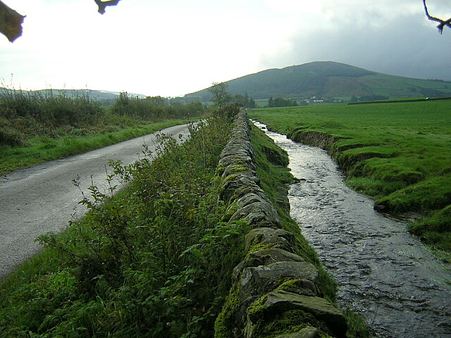
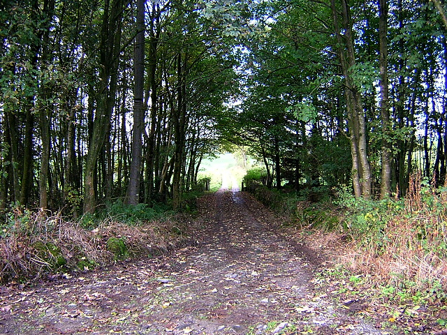
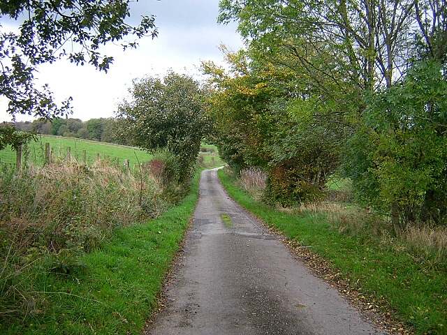
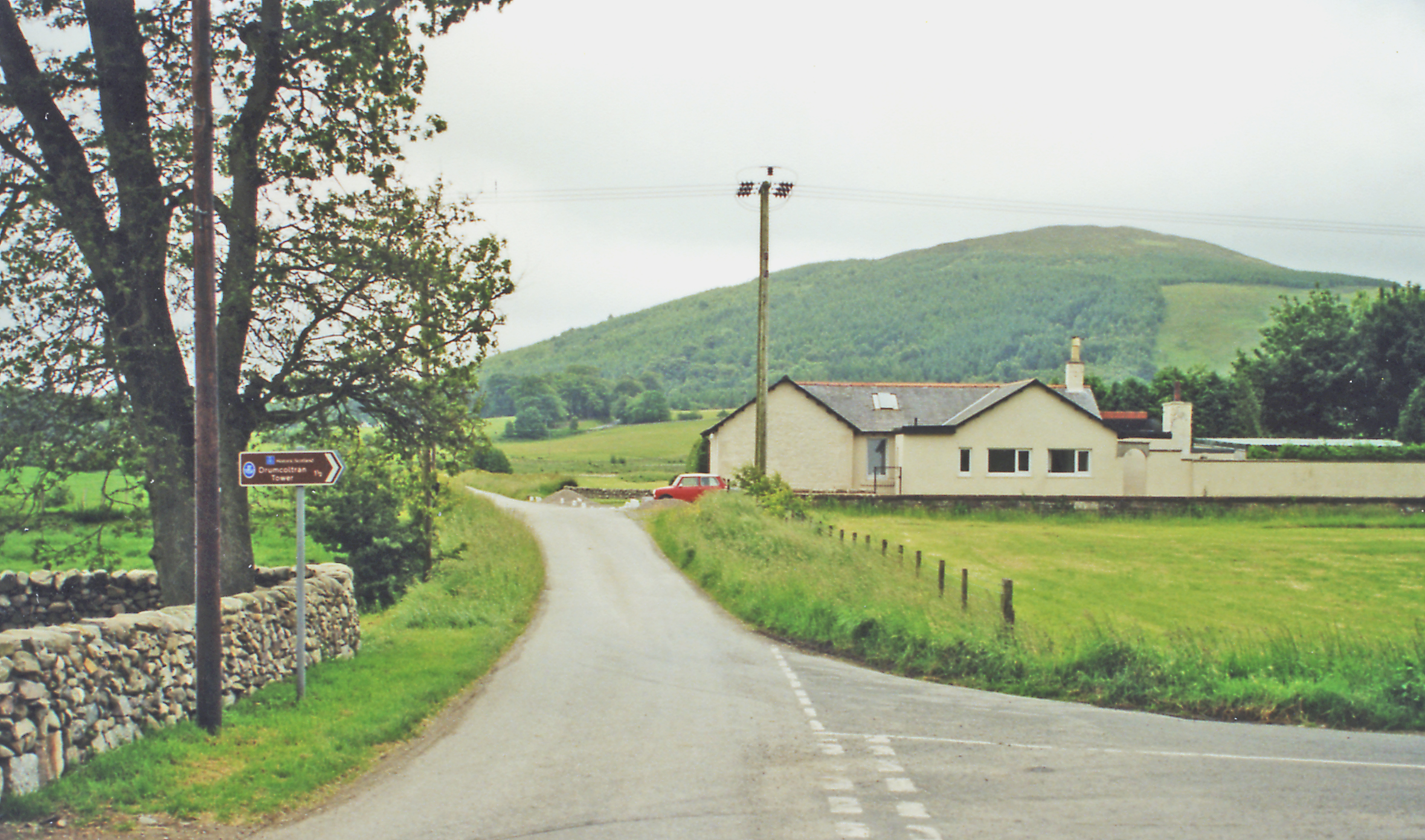
A network of well-maintained paths winds its way through the wood, allowing visitors to experience the natural beauty of the area at their own pace. The paths take you along the tranquil shores of the Blairshinnoch Dam, a man-made reservoir that provides a habitat for various waterfowl, including ducks and swans.

Blairshinnoch Dam Wood is a popular destination for nature enthusiasts and outdoor lovers who enjoy activities such as walking, cycling, and picnicking. It offers stunning panoramic views of the surrounding hills and valleys, making it an ideal spot for photography or simply taking in the breathtaking scenery.

Managed by Forestry and Land Scotland, the wood provides a valuable recreational space for locals and tourists alike. Whether you are seeking a peaceful escape or an opportunity to immerse yourself in nature, Blairshinnoch Dam Wood is a must-visit destination in Kirkcudbrightshire.

If you have any feedback on the listing, please let us know in the comments section below.

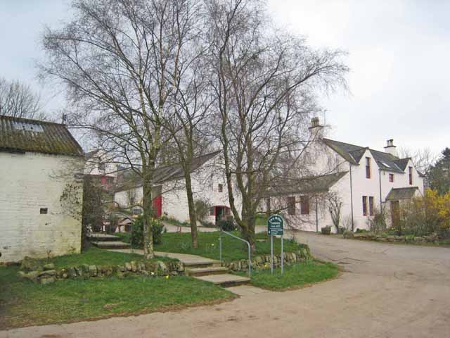
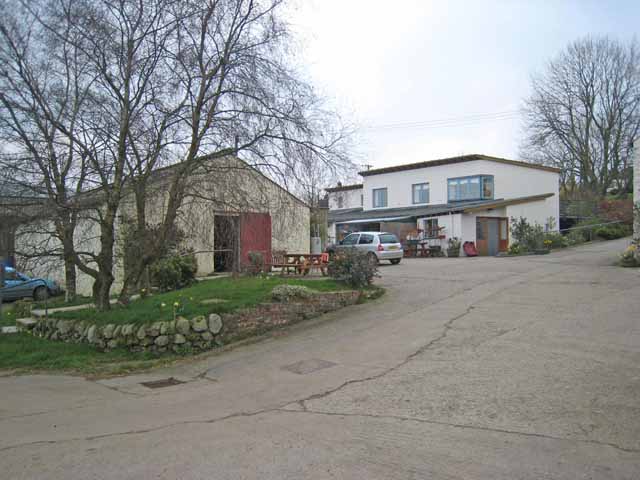
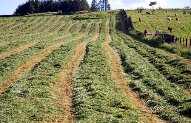
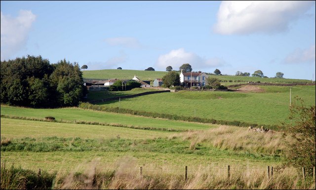
Blairshinnoch Dam Wood Images

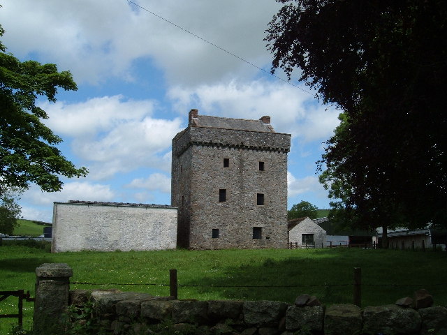
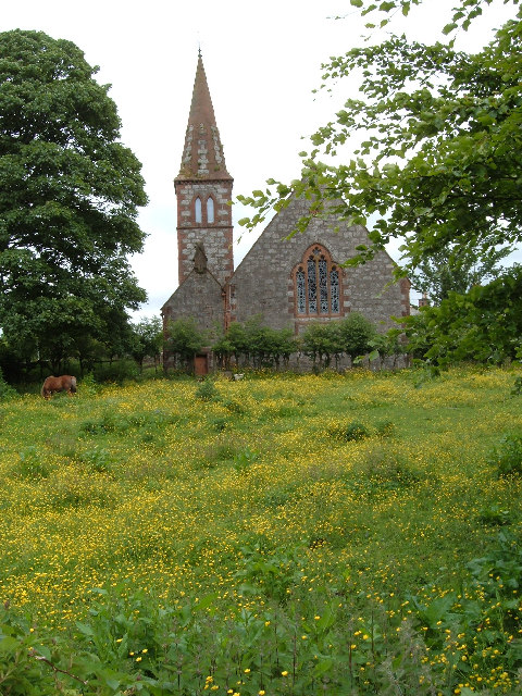
Images are sourced within 2km of 55.001574/-3.7558341 or Grid Reference NX8768. Thanks to Geograph Open Source API. All images are credited.

Drumcoltran Tower Mid 16th Century tower, property maintained by Historic Scotland.
Drumcoltran Tower
Mid 16th Century tower, property maintained by Historic Scotland.
Beeswing Church complete with guard horse!
Beeswing Church
complete with guard horse!
Whiteside House just off the A711.
Whiteside
House just off the A711.
Barn by Drumjohn. Tin byre outside Kirkgunzeon. View west.
Barn by Drumjohn.
Tin byre outside Kirkgunzeon. View west.
Drumjohn. Building work at the farm, possibly steading conversion
Drumjohn.
Building work at the farm, possibly steading conversion
Whiteside View east and up the hill as farmland gives way to moorland on granite hills.
Whiteside
View east and up the hill as farmland gives way to moorland on granite hills.
Loch Arthur Creamery Loch Arthur Community belongs to the Camphill Village Trust. It was established in 1984 and offers a shared way of life providing support and challenges for men and women with special needs. The Creamery provides work for some of the community members, who produce award-winning cheeses, butter and yoghurts which along with farm produce and crafts are sold in the shop.

There are now Camphill Communities in more than 20 countries. The first community was founded in 1940 at Camphill, near Aberdeen, by Karl Konig, an Austrian doctor who had come to Scotland as a refugee.
Loch Arthur Creamery
Loch Arthur Community belongs to the Camphill Village Trust. It was established in 1984 and offers a shared way of life providing support and challenges for men and women with special needs. The Creamery provides work for some of the community members, who produce award-winning cheeses, butter and yoghurts which along with farm produce and crafts are sold in the shop. There are now Camphill Communities in more than 20 countries. The first community was founded in 1940 at Camphill, near Aberdeen, by Karl Konig, an Austrian doctor who had come to Scotland as a refugee.
Drumcoltran Farm
Drumcoltran Farm
Burn Near Killywhan
Burn Near Killywhan
Track to Lawston
Track to Lawston
Field near Abune the Brae
Minor Road Near Old Blairshinnoch
Field of Cattle Near Killymingan
Loch Arthur Creamery The Loch Arthur Creamery is the focus of the Loch Arthur Community, a rural community for adults with special needs. <span class="nowrap"><a title="http://www.camphill.org.uk/guide/locharth/locharth.htm" rel="nofollow ugc noopener" href="http://www.camphill.org.uk/guide/locharth/locharth.htm">Link</a><img style="margin-left:2px;" alt="External link" title="External link - shift click to open in new window" src="https://s1.geograph.org.uk/img/external.png" width="10" height="10"/></span>
Loch Arthur Creamery
The Loch Arthur Creamery is the focus of the Loch Arthur Community, a rural community for adults with special needs. LinkExternal link
Farm Shop, Loch Arthur Creamery This is the farm shop, the outlet for the Loch Arthur Creamery which is the focus of the Loch Arthur Community, a rural community for adults with special needs. <span class="nowrap"><a title="http://www.camphill.org.uk/guide/locharth/locharth.htm" rel="nofollow ugc noopener" href="http://www.camphill.org.uk/guide/locharth/locharth.htm">Link</a><img style="margin-left:2px;" alt="External link" title="External link - shift click to open in new window" src="https://s1.geograph.org.uk/img/external.png" width="10" height="10"/></span>
Farm Shop, Loch Arthur Creamery
This is the farm shop, the outlet for the Loch Arthur Creamery which is the focus of the Loch Arthur Community, a rural community for adults with special needs. LinkExternal link
Make Silage when the Sun Shines
Looking over to Drum
View towards Drum
View towards Drum
Show me another place!

Blairshinnoch Dam Wood is located at Grid Ref: NX8768 (Lat: 55.001574, Lng: -3.7558341)

Unitary Authority: Dumfries and Galloway

Police Authority: Dumfries and Galloway

What 3 Words

///onto.replenish.spent. Near Dalbeattie, Dumfries & Galloway

Nearby Locations

Blairshinnoch Dam Wood

Related Wikis

Killywhan railway station

Killywhan railway station served the hamlet of Killywhan, Dumfries and Galloway, Scotland from 1859 to 1959 on the Castle Douglas and Dumfries Railway...

Beeswing, Dumfries and Galloway

Beeswing is a small village in the historical county of Kirkcudbrightshire in Scotland. == Etymology == Before Beeswing became known as Beeswing, it was...

Kirkgunzeon

Kirkgunȝeon (Scottish Gaelic: Cill Fhionnain) is a village and civil parish in Dumfries and Galloway, south west Scotland. The village is 10.4 miles (16...

Kirkgunzeon railway station

Kirkgunzeon railway station served the village of Kirkgunzeon, Dumfries and Galloway, Scotland from 1859 to 1950 on the Castle Douglas and Dumfries Railway...

Nearby Amenities

Located within 500m of 55.001574,-3.7558341
Power: pole
Lat/Long: 55.0026025/-3.7521849
Power: pole
Lat/Long: 55.001989/-3.7529634
Power: pole
Lat/Long: 55.0013687/-3.7537506
Power: pole
Lat/Long: 55.00077/-3.7544973
Power: pole
Lat/Long: 55.0001166/-3.7553183
Power: pole
Lat/Long: 54.9997723/-3.7547667
Power: pole
Lat/Long: 54.9994291/-3.754194
Power: pole
Lat/Long: 54.9990847/-3.753619
Power: pole
Lat/Long: 54.9986211/-3.7528405
Power: pole
Lat/Long: 55.0015743/-3.7519749
Power: pole
Lat/Long: 55.0011582/-3.7509566
Power: pole
Lat/Long: 55.000781/-3.7500296
Power: pole
Lat/Long: 55.0004646/-3.7495883
Power: pole
Lat/Long: 55.0055894/-3.7569455
Power: pole
Lat/Long: 55.0051149/-3.755819
Power: pole
Lat/Long: 55.0046319/-3.7547137
Power: pole
Lat/Long: 55.0041647/-3.7536254
Power: pole
Lat/Long: 55.003672/-3.7524989
Power: pole
Lat/Long: 55.0032084/-3.7514212
Power: pole
Lat/Long: 55.0030904/-3.7500147
Power: pole
Lat/Long: 55.0029736/-3.7486379
The data included in this document is from www.openstreetmap.org. The data is made available under ODbL.

Have you been to Blairshinnoch Dam Wood?

Leave your review of Blairshinnoch Dam Wood below (or comments, questions and feedback).