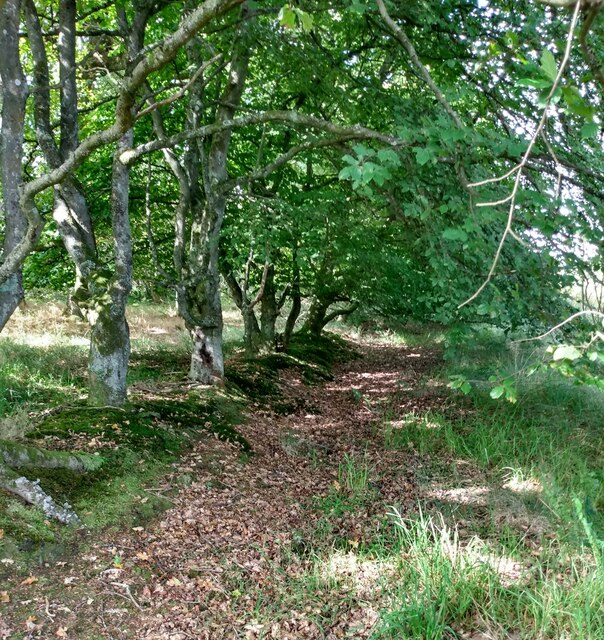
West Drumbeg Wood

Wood, Forest in West Lothian

Scotland

West Drumbeg Wood

Long grass and heather moor Roofs of Whiteside on left and ruins of original Wester Whin on right
Long grass and heather moor Credit: Jim Smillie

The requested URL returned error: 429 Too Many Requests

If you have any feedback on the listing, please let us know in the comments section below.

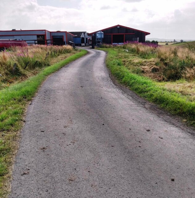
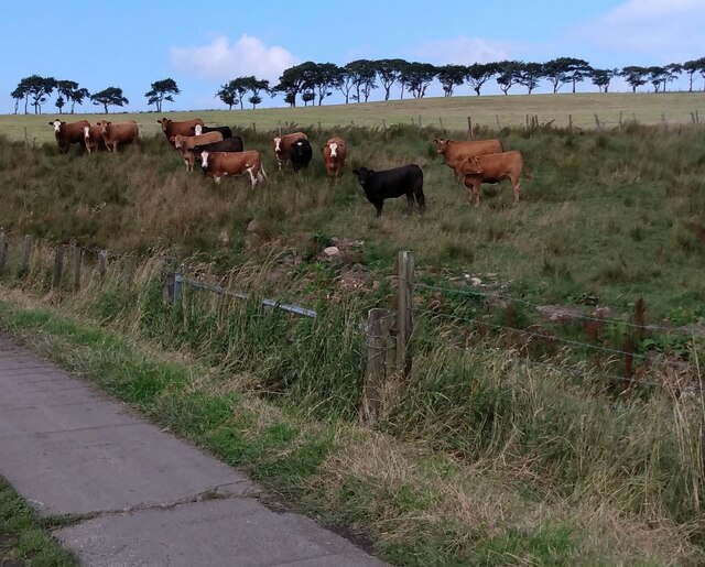
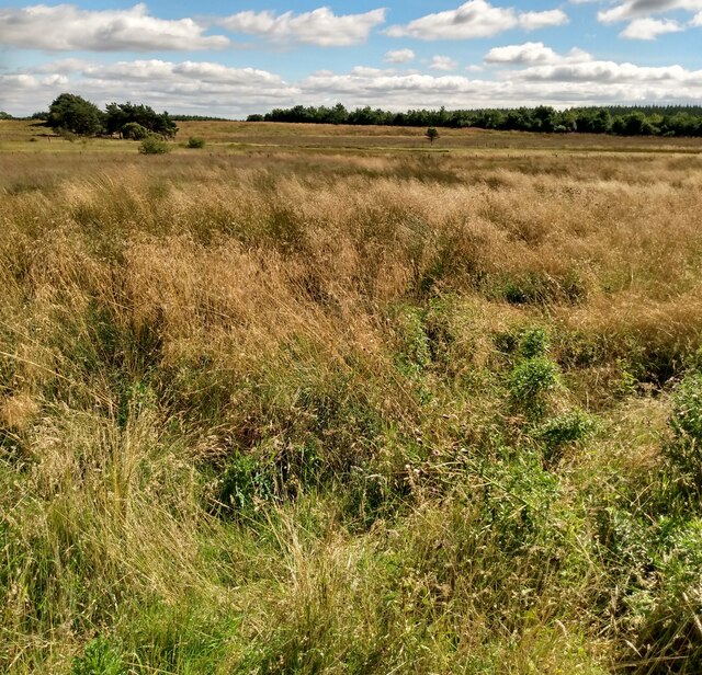
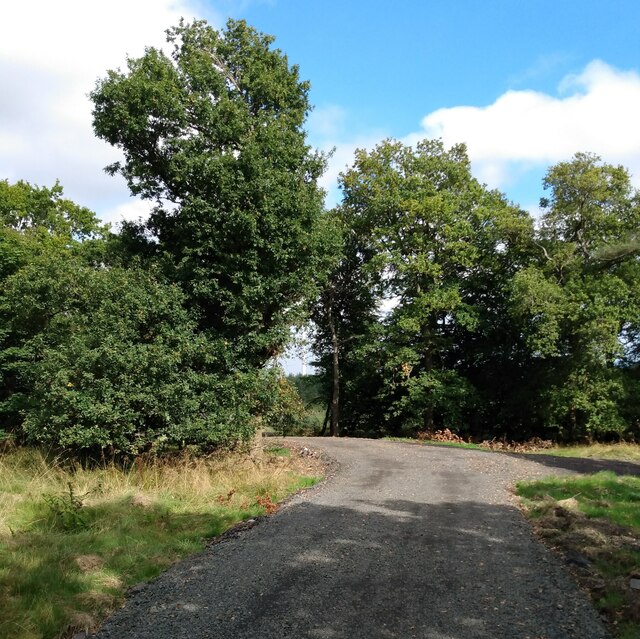
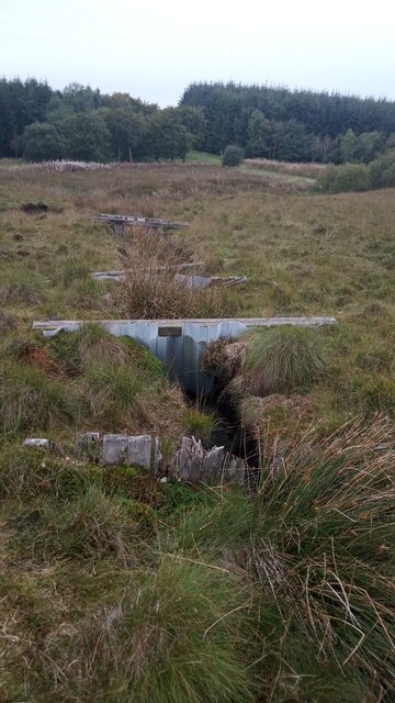
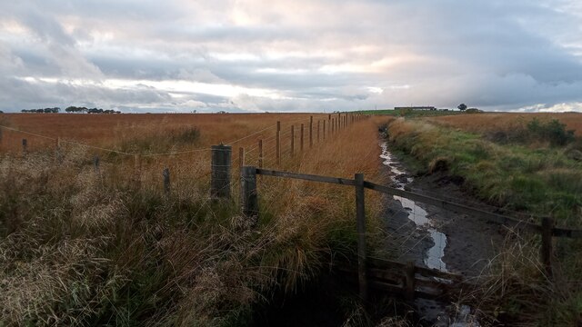
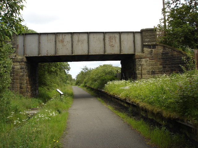
West Drumbeg Wood Images

Images are sourced within 2km of 55.891201/-3.804585 or Grid Reference NS8767. Thanks to Geograph Open Source API. All images are credited.

Long grass and heather moor Roofs of Whiteside on left and ruins of original Wester Whin on right
Long grass and heather moor
Roofs of Whiteside on left and ruins of original Wester Whin on right
Old field boundary Surviving among conifer plantations
Old field boundary
Surviving among conifer plantations
Open strip beside conifers There are conifers of various sizes in this area
Open strip beside conifers
There are conifers of various sizes in this area
Wester Whin Th ruin of the original Wester Whin is just to the south
Compare <a href="https://www.geograph.org.uk/photo/416219">NS8668 : Wester Whin Farm</a>
Wester Whin
Th ruin of the original Wester Whin is just to the south Compare NS8668 : Wester Whin Farm
Spot the odd one out Only one of these cows is not looking at the camera
Spot the odd one out
Only one of these cows is not looking at the camera
North Calder Water Boundary of North Lanarkshire and Falkirk Council areas at this point
North Calder Water
Boundary of North Lanarkshire and Falkirk Council areas at this point
Bridge: North Calder Water View from Falkirk Council area to North Lanarkshire
Bridge: North Calder Water
View from Falkirk Council area to North Lanarkshire
View to dead tree Lots of others have been planted to replace it
View to dead tree
Lots of others have been planted to replace it
View to Easter Whin Lots of rough pasture between the road and farm buildings
View to Easter Whin
Lots of rough pasture between the road and farm buildings
Inquisitive Highlander Lots of peat in this corner of the field
Inquisitive Highlander
Lots of peat in this corner of the field
Carpet of old leaves Between a row of beech trees and conifer plantation
Carpet of old leaves
Between a row of beech trees and conifer plantation
Drumbeg outbuildings The track swings behind the buildings
Drumbeg outbuildings
The track swings behind the buildings
Through the gap The track leads to the edge of Blawhorn Moss Nature Reserve
Through the gap
The track leads to the edge of Blawhorn Moss Nature Reserve
Flat area of long grasses Probably hiding boggy area. Pond might be visible when vegetation dies back
Flat area of long grasses
Probably hiding boggy area. Pond might be visible when vegetation dies back
Wester Burnhead Wood Track cutting through wood which pre-dates the forestry and wind turbines
Wester Burnhead Wood
Track cutting through wood which pre-dates the forestry and wind turbines
Edge of mixed woodland Part of Wester Burnhead Wood now swallowed up by commercial forestry
Edge of mixed woodland
Part of Wester Burnhead Wood now swallowed up by commercial forestry
Series of Dams on Blawhorn Nature Reserve This set of plastic corrugated dams obviously replaced an older set of now-rotten wooden ones which can also clearly be seen. The dams are situated along a fairly steep drain (in relation to its surroundings at least) and the aim is to stop areas of this protected raised peat bog here from drying out.
I'm sure there is solid reasoning behind this method, but having seen this setup before, often wonder whether it would not be easier filling in the drain with peat sourced from elsewhere. Perhaps because we have so much peat in Britain, particularly the Northern bit, we seem to almost stand alone in wanting to keep it in situ - other countries dig it up and sell it as a matter of course. It being managed land, it is possibly not done for fear of introducing the unknown effects of tiny alien species contained within the peat. I am actually set to study this area as part of an environmental course, so perhaps I will be able to add more to this square than my usual 'educated' guesses in the long run!
Incidentally, the name 'Blawhorn' is said, according to the online pamphlet about the reserve, to derive from the practice of somebody once blowing a horn up here to alert the innkeeper in the nearby village of Blackridge to the appearance of travellers on foot and horseback heading in their direction. While plausible in a way, this is also slightly ridiculous in others, unless the innkeeper was regularly a good distance away tending a farm. Surely the travellers on the Glasgow to Edinburgh route would know that there was a stopping point in the village, and if not, the inn would surely have a sign? Therefore even if the innkeeper was short-staffed and working in the surrounding fields he could just leave out a horn for his customers to blow - this would surely be cheaper and more effective than relying on a sentry positioned in a peat bog?!
Series of Dams on Blawhorn Nature Reserve
This set of plastic corrugated dams obviously replaced an older set of now-rotten wooden ones which can also clearly be seen. The dams are situated along a fairly steep drain (in relation to its surroundings at least) and the aim is to stop areas of this protected raised peat bog here from drying out. I'm sure there is solid reasoning behind this method, but having seen this setup before, often wonder whether it would not be easier filling in the drain with peat sourced from elsewhere. Perhaps because we have so much peat in Britain, particularly the Northern bit, we seem to almost stand alone in wanting to keep it in situ - other countries dig it up and sell it as a matter of course. It being managed land, it is possibly not done for fear of introducing the unknown effects of tiny alien species contained within the peat. I am actually set to study this area as part of an environmental course, so perhaps I will be able to add more to this square than my usual 'educated' guesses in the long run! Incidentally, the name 'Blawhorn' is said, according to the online pamphlet about the reserve, to derive from the practice of somebody once blowing a horn up here to alert the innkeeper in the nearby village of Blackridge to the appearance of travellers on foot and horseback heading in their direction. While plausible in a way, this is also slightly ridiculous in others, unless the innkeeper was regularly a good distance away tending a farm. Surely the travellers on the Glasgow to Edinburgh route would know that there was a stopping point in the village, and if not, the inn would surely have a sign? Therefore even if the innkeeper was short-staffed and working in the surrounding fields he could just leave out a horn for his customers to blow - this would surely be cheaper and more effective than relying on a sentry positioned in a peat bog?!
Drain seen from County Boundary The drain approaches here from the rough direction of Easter Whin, the farm on the right of the picture. It flows into Drumtassie Burn (unseen and directly below camera), which at this point, even after a fair amount of recent rain, is more of a dribble and far less substantial than the drain itself.
Drumtassie Burn, which rises from the boggy ground less than a mile West of here,  marks the boundary between West Lothian and the Falkirk council area (which, confusingly, is officially just called Falkirk, like the town) for its entire length - though it gets renamed Lin Mill Burn a couple of miles downstream - until it reaches the River Avon.
The picture was taken standing in West Lothian, but everything in shot is in Falkirk.
Drain seen from County Boundary
The drain approaches here from the rough direction of Easter Whin, the farm on the right of the picture. It flows into Drumtassie Burn (unseen and directly below camera), which at this point, even after a fair amount of recent rain, is more of a dribble and far less substantial than the drain itself. Drumtassie Burn, which rises from the boggy ground less than a mile West of here, marks the boundary between West Lothian and the Falkirk council area (which, confusingly, is officially just called Falkirk, like the town) for its entire length - though it gets renamed Lin Mill Burn a couple of miles downstream - until it reaches the River Avon. The picture was taken standing in West Lothian, but everything in shot is in Falkirk.
Show me another place!

West Drumbeg Wood is located at Grid Ref: NS8767 (Lat: 55.891201, Lng: -3.804585)

Unitary Authority: West Lothian

Police Authority: The Lothians and Scottish Borders

What 3 Words

///duke.widely.hounded. Near Blackridge, West Lothian

Related Wikis

Blawhorn Moss

Blawhorn Moss is a raised bog located to the northwest of the village of Blackridge, about 6 kilometres (3.7 mi) west of Armadale in the council area of...

Hillend Loch Railway Path

The Hillend Loch Railway Path, also known as the Airdrie to Bathgate Railway Path, is a rail trail located in central Scotland. The path is approximately...

A89 road

The A89 is a trunk road in Scotland, United Kingdom. It runs from High Street, Glasgow to Newbridge in Edinburgh. It was once the A8, which has now been...

Forrestfield railway station, NBR

Forrestfield railway station served the settlement of Forrestfield, North Lanarkshire, Scotland from 1862 to 1930 on the Bathgate and Coatbridge Railway...

Nearby Amenities

Located within 500m of 55.891201,-3.804585
Power: pole
Lat/Long: 55.8921407/-3.8022773
Power: pole
Lat/Long: 55.8916606/-3.8018731
Power: pole
Lat/Long: 55.8911174/-3.801444
Power: pole
Lat/Long: 55.8905613/-3.8009628
Power: pole
Lat/Long: 55.8899492/-3.800694
Power: pole
Lat/Long: 55.8894293/-3.8007086
Power: pole
Lat/Long: 55.8888989/-3.800742
Power: pole
Lat/Long: 55.8883685/-3.8007545
Power: pole
Lat/Long: 55.8878124/-3.8006128
Power: pole
Lat/Long: 55.8874164/-3.8005399
Drumbeg
Name Gd: An Druim Beag
Place: isolated_dwelling
Lat/Long: 55.8924965/-3.8021531
The data included in this document is from www.openstreetmap.org. The data is made available under ODbL.

Have you been to West Drumbeg Wood?

Leave your review of West Drumbeg Wood below (or comments, questions and feedback).