Blairuachdar Wood
Wood, Forest in Perthshire
Scotland
Blairuachdar Wood
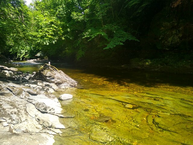
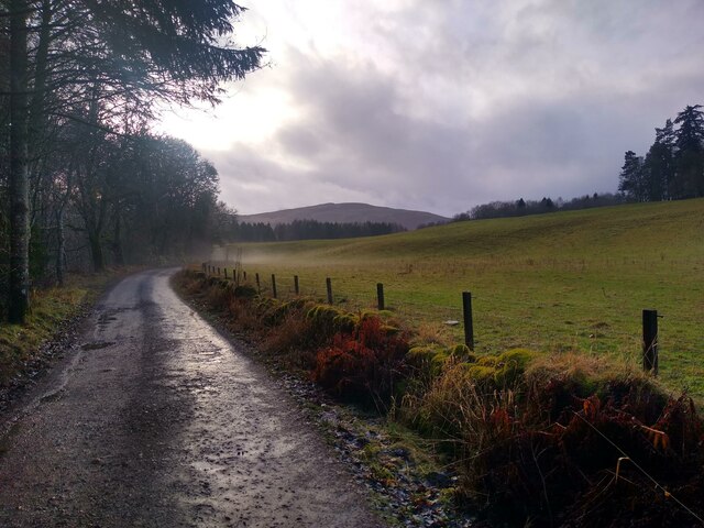
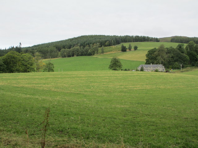
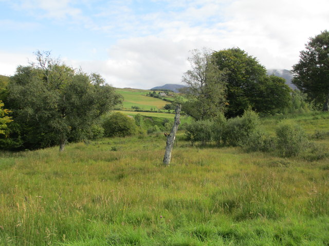
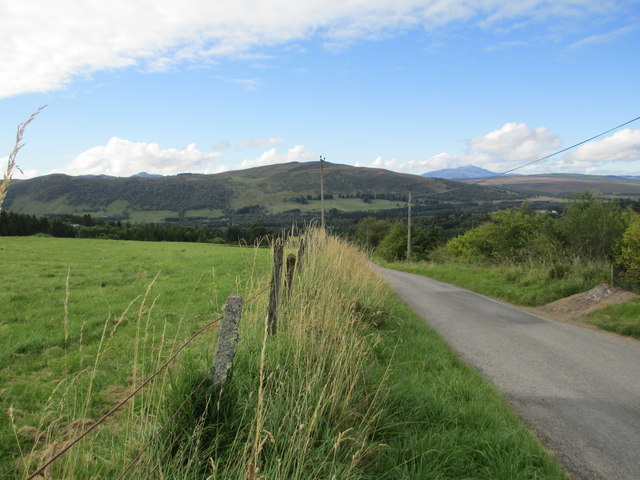
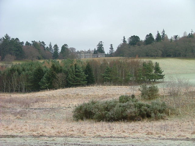
Blairuachdar Wood is a stunning forest located in Perthshire, Scotland. Nestled amidst the picturesque landscape of the Scottish Highlands, this woodland covers an expansive area and is renowned for its natural beauty and diverse flora and fauna.
The wood boasts a rich history, dating back centuries. It is believed to have been part of the ancient Caledonian Forest, which once spanned across much of Scotland. Today, Blairuachdar Wood stands as a testament to the country's natural heritage.
The forest is predominantly composed of native tree species, including Scots pine, birch, and oak. These towering trees create a dense canopy, providing shelter for a wide variety of wildlife. Visitors can often spot red squirrels, roe deer, and a plethora of bird species, including woodpeckers and owls.
Blairuachdar Wood offers an extensive network of walking trails, allowing visitors to explore its enchanting surroundings. The paths wind through the forest, leading to picturesque viewpoints and tranquil spots, perfect for picnics or simply enjoying the serenity of nature. The wood is particularly popular during the autumn season when the vibrant colors of the changing leaves create a breathtaking spectacle.
The wood is easily accessible, with ample parking and well-maintained trails suitable for all levels of fitness. It is a popular destination for outdoor enthusiasts, photographers, and nature lovers, who flock to this idyllic woodland to immerse themselves in its tranquility and natural wonders.
Blairuachdar Wood is a true gem of Perthshire, offering a magical escape into the heart of Scotland's wilderness.
If you have any feedback on the listing, please let us know in the comments section below.
Blairuachdar Wood Images
Images are sourced within 2km of 56.791394/-3.8485374 or Grid Reference NN8768. Thanks to Geograph Open Source API. All images are credited.


Blairuachdar Wood is located at Grid Ref: NN8768 (Lat: 56.791394, Lng: -3.8485374)
Unitary Authority: Perth and Kinross
Police Authority: Tayside
What 3 Words
///forces.agreeable.fines. Near Blair Atholl, Perth & Kinross
Nearby Locations
Related Wikis
Lude House
Lude House (also known as House of Lude or Lude Estate) is a Category B listed country house and estate in Blair Atholl, Perth and Kinross, Scotland. It...

Blair Castle
Blair Castle (in Scottish Gaelic: Caisteil Bhlàir) stands in its grounds near the village of Blair Atholl in Perthshire in Scotland. It is the ancestral...

Bridge of Tilt
Bridge of Tilt (Scottish Gaelic: Drochaid Theilt) is a village in Perthshire, Scotland, built around the River Tilt (Scottish Gaelic: Abhainn Teilt), near...

Blair Atholl
Blair Atholl (from the Scottish Gaelic: Blàr Athall, originally Blàr Ath Fhodla) is a village in Perthshire, Scotland, built about the confluence of the...

Old Blair
Old Blair is a tiny village of 18th century stone houses in Perth and Kinross, Scotland, adjoining and overlooking the grounds of Blair Castle. It is...

Atholl Arms Hotel, Blair Atholl
The Atholl Arms Hotel is a hotel and restaurant in Blair Atholl, Perth and Kinross, Scotland. Standing on the B8079, it is a Category C listed building...
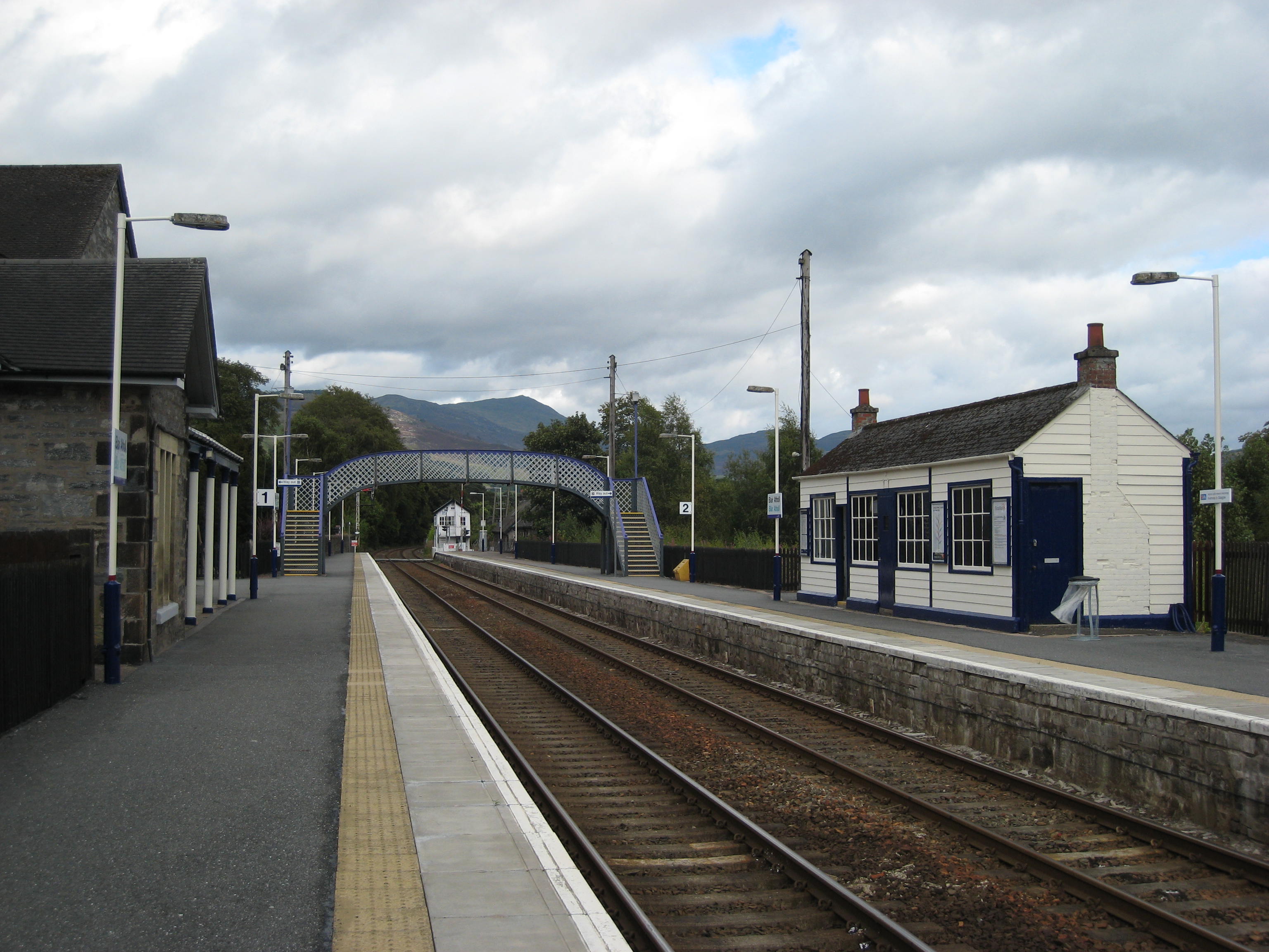
Blair Atholl railway station
Blair Atholl railway station is a railway station serving the town of Blair Atholl, Perth and Kinross, Scotland. The station is managed by ScotRail and...

Blair Atholl Watermill
Blair Atholl Watermill is Scotland's oldest working watermill, located in Blair Atholl, Perth and Kinross, and dating to around 1830. There has been a...
Nearby Amenities
Located within 500m of 56.791394,-3.8485374Have you been to Blairuachdar Wood?
Leave your review of Blairuachdar Wood below (or comments, questions and feedback).