Barscraigh Plantations
Wood, Forest in Kirkcudbrightshire
Scotland
Barscraigh Plantations

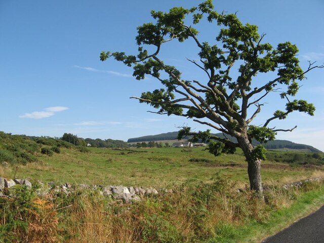
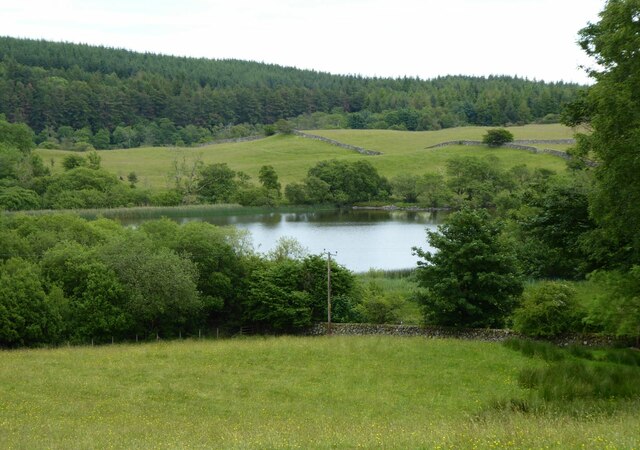
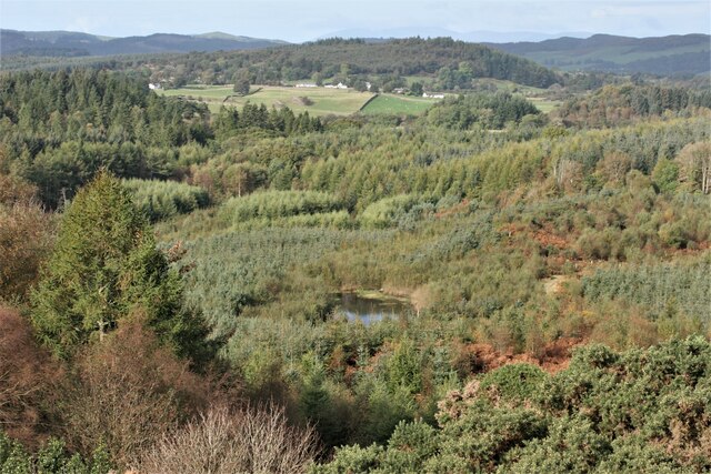
Barscraigh Plantations is a prominent woodland area located in Kirkcudbrightshire, Scotland. Covering a vast expanse of land, it is known for its picturesque beauty and diverse range of flora and fauna. The plantation is nestled between rolling hills and offers breathtaking views of the surrounding countryside.
The woodland is primarily made up of native tree species such as oak, birch, and beech, creating a rich and varied ecosystem. The well-maintained trails winding through the plantation are a favorite among nature enthusiasts, providing an immersive experience in the heart of nature. Visitors can enjoy leisurely walks or engage in activities like birdwatching and wildlife spotting.
Barscraigh Plantations is home to a wide array of wildlife, making it a popular destination for wildlife enthusiasts and nature photographers. Red squirrels, roe deer, and a variety of bird species can be spotted in the woodland, adding to its allure.
The plantation also plays an important role in conservation efforts, with ongoing initiatives to protect and enhance the biodiversity of the area. Forestry management practices are implemented to ensure the sustainable growth and health of the woodland.
Facilities such as car parks and picnic areas are available for visitors, making it an ideal spot for families and outdoor enthusiasts. The plantation's proximity to Kirkcudbrightshire's main town, Kirkcudbright, allows for easy access and adds to its popularity among locals and tourists alike.
Overall, Barscraigh Plantations offers a serene and tranquil escape into nature, providing a haven for wildlife and a peaceful retreat for visitors seeking solace in the beauty of the Scottish countryside.
If you have any feedback on the listing, please let us know in the comments section below.
Barscraigh Plantations Images
Images are sourced within 2km of 54.895219/-3.7666251 or Grid Reference NX8657. Thanks to Geograph Open Source API. All images are credited.


Barscraigh Plantations is located at Grid Ref: NX8657 (Lat: 54.895219, Lng: -3.7666251)
Unitary Authority: Dumfries and Galloway
Police Authority: Dumfries and Galloway
What 3 Words
///debating.outlawing.bigger. Near Dalbeattie, Dumfries & Galloway
Nearby Locations
Related Wikis

Colvend and Southwick
Colvend and Southwick is a community council area and civil parish within the Stewartry area of Dumfries and Galloway, Scotland. It is also part of the...

Rockcliffe, Dumfries and Galloway
Rockcliffe is a small, coastal village in Kirkcudbrightshire, Dumfries and Galloway in Scotland, with a view of Rough Island, Hestan Island, the Solway...

Kippford
Kippford (/ˈkɪpfəd/; otherwise Scaur) is a small village along the Solway coast, in the historic county of Kirkcudbrightshire in Dumfries and Galloway...
Rough Firth
Rough Firth is an inlet on the northern coast of the Solway Firth in the Stewartry area of Dumfries and Galloway, Scotland. The firth lies between Almorness...
Nearby Amenities
Located within 500m of 54.895219,-3.7666251Have you been to Barscraigh Plantations?
Leave your review of Barscraigh Plantations below (or comments, questions and feedback).