Carreg y Garth

Settlement in Caernarfonshire

Wales

Carreg y Garth

Cen llwyd / Grey lichen
Cen llwyd / Grey lichen Credit: Ceri Thomas

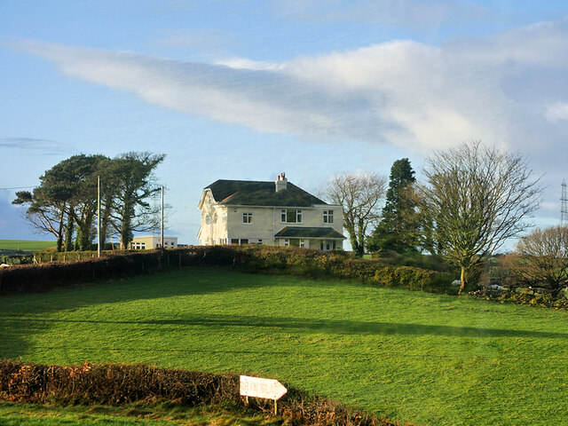
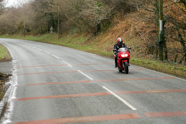
Carreg y Garth is a small rural village located in the historical county of Caernarfonshire in northwest Wales. Situated approximately 5 miles southeast of the town of Caernarfon, the village is nestled within the picturesque countryside of Snowdonia National Park.

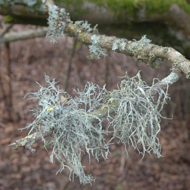
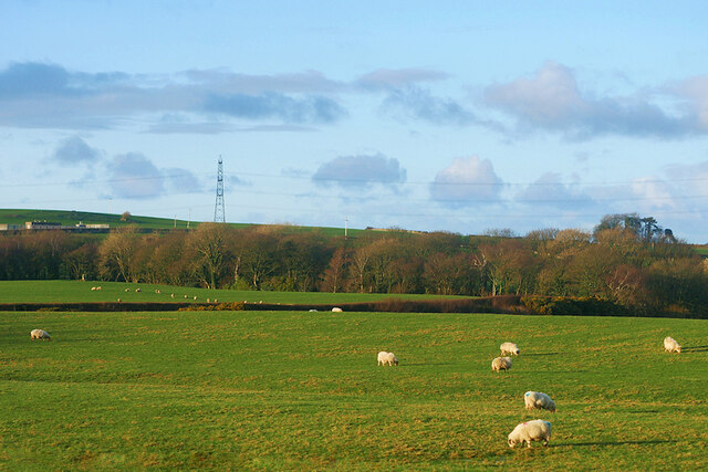
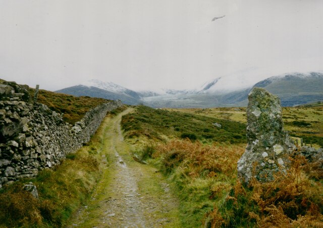
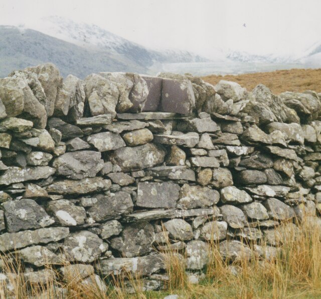
The village is known for its natural beauty and tranquil surroundings. It is surrounded by rolling hills, lush green fields, and dense forests, offering breathtaking views of the stunning Welsh landscape. The nearby Afon Gwyrfai river adds to the charm of the area.

Carreg y Garth is home to a small population, primarily engaged in farming and other agricultural activities. The village exhibits a close-knit community spirit, with locals often participating in community events and gatherings.

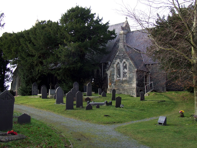
One of the notable landmarks in Carreg y Garth is the 13th-century St. Mary's Church, which stands as a testament to the village's rich history. The church features beautiful stained glass windows and a peaceful churchyard, making it a popular spot for visitors and locals alike.

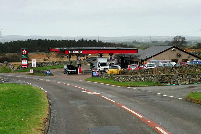
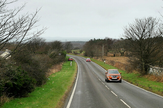
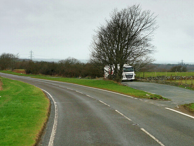
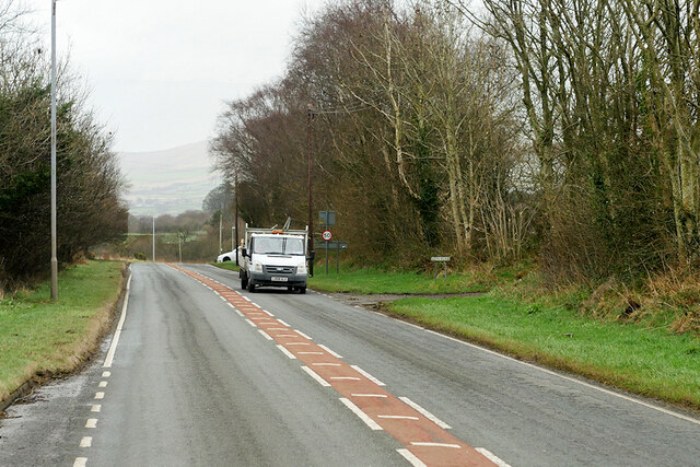
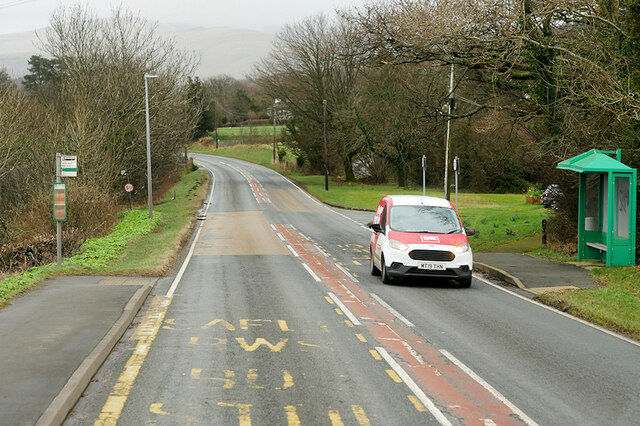
The village is well-connected to the surrounding areas through a network of country lanes and minor roads. Despite its rural location, Carreg y Garth is within easy reach of amenities, with the town of Caernarfon offering a range of shops, schools, and leisure facilities.

Overall, Carreg y Garth offers a serene and idyllic living environment, making it an attractive destination for those seeking a peaceful countryside retreat.

If you have any feedback on the listing, please let us know in the comments section below.

Carreg y Garth Images

Images are sourced within 2km of 53.172282/-4.120877 or Grid Reference SH5866. Thanks to Geograph Open Source API. All images are credited.

Cen llwyd / Grey lichen
Coedlan ger Pant-y-Cyff / Woodland near Pant-y-Cyff (1)
Coedlan ger Pant-y-Cyff / Woodland near Pant-y-Cyff (2)
Beran Service Station The A4244 is a relatively short (6½ miles) rural A-road in north Caernarfonshire. It connects the A5/A55 (near the Llys-y-gwynt junction) with the A4086 at Brynrefail, just outside Llanberis.
Beran Service Station
The A4244 is a relatively short (6½ miles) rural A-road in north Caernarfonshire. It connects the A5/A55 (near the Llys-y-gwynt junction) with the A4086 at Brynrefail, just outside Llanberis.
A4244 northbound The A4244 is a relatively short (6½ miles) rural A-road in north Caernarfonshire. It connects the A5/A55 (near the Llys-y-gwynt junction) with the A4086 at Brynrefail, just outside Llanberis.
A4244 northbound
The A4244 is a relatively short (6½ miles) rural A-road in north Caernarfonshire. It connects the A5/A55 (near the Llys-y-gwynt junction) with the A4086 at Brynrefail, just outside Llanberis.
Layby on the A4244 The A4244 is a relatively short (6½ miles) rural A-road in north Caernarfonshire. It connects the A5/A55 (near the Llys-y-gwynt junction) with the A4086 at Brynrefail, just outside Llanberis.
Layby on the A4244
The A4244 is a relatively short (6½ miles) rural A-road in north Caernarfonshire. It connects the A5/A55 (near the Llys-y-gwynt junction) with the A4086 at Brynrefail, just outside Llanberis.
Large House near to Pentir
Sheep Grazing near to Pentir
A4244, Pentir The A4244 is a relatively short (6½ miles) rural A-road in north Caernarfonshire. It connects the A5/A55 (near the Llys-y-gwynt junction) with the A4086 at Brynrefail, just outside Llanberis.
A4244, Pentir
The A4244 is a relatively short (6½ miles) rural A-road in north Caernarfonshire. It connects the A5/A55 (near the Llys-y-gwynt junction) with the A4086 at Brynrefail, just outside Llanberis.
A4244, Rhyd y groes Bus Stop The A4244 is a relatively short (6½ miles) rural A-road in north Caernarfonshire. It connects the A5/A55 (near the Llys-y-gwynt junction) with the A4086 at Brynrefail, just outside Llanberis.
A4244, Rhyd y groes Bus Stop
The A4244 is a relatively short (6½ miles) rural A-road in north Caernarfonshire. It connects the A5/A55 (near the Llys-y-gwynt junction) with the A4086 at Brynrefail, just outside Llanberis.
Motorcyclist on the A4244 near to Pentir
Former quarry-men's track over the flank of Moel y Ci This was used by quarrymen from Rhiwlas and Pentir districts to get to work at both the Penrhyn and Dinorwig Quarries.
Former quarry-men's track over the flank of Moel y Ci
This was used by quarrymen from Rhiwlas and Pentir districts to get to work at both the Penrhyn and Dinorwig Quarries.
Wall stile near Bwlch y Mawn The wall of the Marchlyn Mawr reservoir is visible in the background.
Wall stile near Bwlch y Mawn
The wall of the Marchlyn Mawr reservoir is visible in the background.
Rivet benchmark near Pen-y-bwlch, Mynydd Llandegai For more details see: <span class="nowrap"><a title="https://www.bench-marks.org.uk/bm114248" rel="nofollow ugc noopener" href="https://www.bench-marks.org.uk/bm114248">Link</a><img style="margin-left:2px;" alt="External link" title="External link - shift click to open in new window" src="https://s1.geograph.org.uk/img/external.png" width="10" height="10"/></span>
Rivet benchmark near Pen-y-bwlch, Mynydd Llandegai
For more details see: LinkExternal link
Rivet benchmark on Pont Y Felin, Pentir This rivet benchmark is located on the W parapet of Pont Felin in Pentir and it is shown in the current Ordnance Survey database at a height of 97.2952m  above the Newlyn datum.
Rivet benchmark on Pont Y Felin, Pentir
This rivet benchmark is located on the W parapet of Pont Felin in Pentir and it is shown in the current Ordnance Survey database at a height of 97.2952m above the Newlyn datum.
St. Cedol's Church, Pentir
Cemetery Chapel, Pentir
Vaynol Arms, Pentir
Vaynol Arms, Pentir
Show me another place!

Carreg y Garth is located at Grid Ref: SH5866 (Lat: 53.172282, Lng: -4.120877)

Unitary Authority: Gwynedd

Police Authority: North Wales

What 3 Words

///owned.runner.focus. Near Tregarth, Gwynedd

Nearby Locations

Tan-y-Garth Carreg y Garth

Related Wikis

Aber Dinlle Fault

The Aber Dinlle Fault is a SW-NE trending fault in North Wales. It forms part of the Menai Strait Fault System, with the Berw and Dinorwic Faults. It lies...

Pentir

Pentir is a community and electoral ward in the county of Gwynedd, Wales, and is 124 miles (199.9 km) from Cardiff and 205 miles (329.4 km) from London...

Mynydd Llandygai

Mynydd Llandygái (also spelt Mynydd Llandegai, [ˌmənɨðˌɬandəˈɡai] ; from Welsh mynydd "mountain", Llandygai "Church of St Tegai") is a small, partly forested...

Felin Hen Halt railway station

Felin Hen Halt railway station was a station in Glasinfryn, Gwynedd, Wales on the Bethesda branch line. The station was opened on 1 July 1884 and closed...

Tregarth

Tregarth is a village near Thomas Telford's A5 London to Holyhead road between the town of Bethesda and the city of Bangor in Gwynedd, north Wales. It...

Glasinfryn

Glasinfryn is a small village in Gwynedd, Wales. It is situated between the village of Tregarth and the city of Bangor, Gwynedd, and in the community of...

Tregarth railway station

Tregarth railway station is a disused railway station in Gwynedd, Wales. It was located on the Bethesda Branch line, just north of the village of Tregarth...

Deiniolen

Deiniolen (; Welsh: [dɛinɪˈɔlɛn]; ) is a village in Gwynedd, Wales, at the foot of Elidir Fawr, in Llanddeiniolen Community. Deiniolen has views over Caernarfon...

Nearby Amenities

Located within 500m of 53.172282,-4.120877
Barrier: kissing_gate
Lat/Long: 53.1745967/-4.1180465
Man Made: water_well
Lat/Long: 53.1723851/-4.1220223
Shelter
Lat/Long: 53.1708345/-4.1270859
Direction: ESE
Generator Method: photovoltaic
Generator Output Electricity: yes
Generator Solar Modules: 6
Generator Source: solar
Generator Type: solar_photovoltaic_panel
Location: roof
Power: generator
Lat/Long: 53.1695355/-4.126069
Direction: SE
Generator Method: photovoltaic
Generator Output Electricity: yes
Generator Solar Modules: 8
Generator Source: solar
Generator Type: solar_photovoltaic_panel
Location: roof
Power: generator
Lat/Long: 53.1715468/-4.1232339
Direction: 215
Generator Method: photovoltaic
Generator Output Electricity: yes
Generator Solar Modules: 16
Generator Source: solar
Generator Type: solar_photovoltaic_panel
Location: roof
Power: generator
Lat/Long: 53.1706883/-4.1254574
The data included in this document is from www.openstreetmap.org. The data is made available under ODbL.

Have you been to Carreg y Garth?

Leave your review of Carreg y Garth below (or comments, questions and feedback).