Dunmore Moss

Wood, Forest in Stirlingshire

Scotland

Dunmore Moss

Kersie Terrace at South Alloa Looking southward towards the A905.
Kersie Terrace at South Alloa Credit: Peter Wood

Dunmore Moss is a picturesque woodland located in Stirlingshire, Scotland. Nestled within the enchanting landscape of the Carse of Stirling, this forested area offers a serene and tranquil setting for nature lovers and outdoor enthusiasts alike.

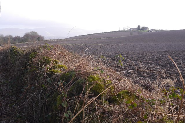
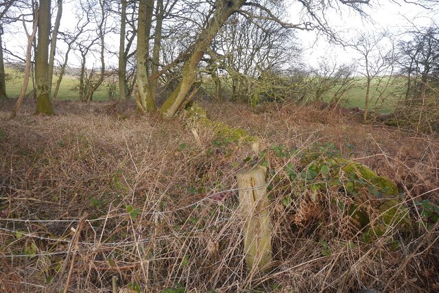
Covering an expansive area, Dunmore Moss is characterized by its diverse range of tree species, including oak, birch, and pine. The woodland boasts a rich and vibrant ecosystem, providing a habitat for a variety of wildlife, such as red squirrels, deer, and a multitude of bird species. The forest floor is adorned with an array of wildflowers, adding to the area's natural beauty.

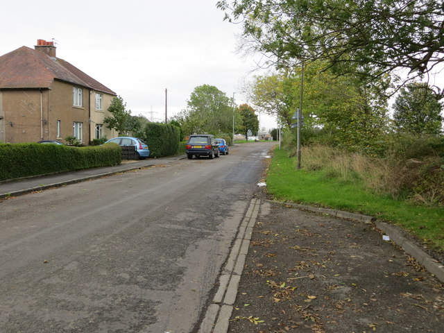
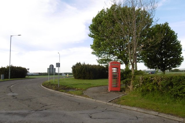
A network of well-maintained trails crisscrosses through Dunmore Moss, offering visitors the opportunity to explore the woods on foot. These trails cater to all levels of fitness and provide access to some of the most scenic spots within the forest. Along the way, hikers can enjoy breathtaking views of the surrounding countryside, including the nearby River Forth.

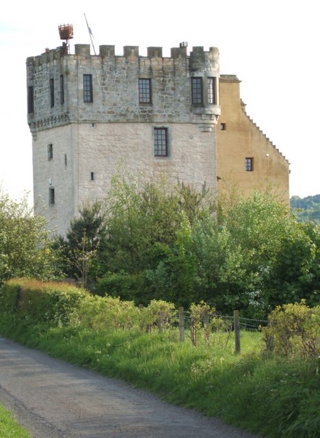
Dunmore Moss is not only a haven for nature enthusiasts but also a site of historical significance. The forest is home to the ruins of Dunmore House, a mansion that dates back to the 19th century. These ruins serve as a gentle reminder of the area's past and add an element of intrigue to the overall experience.

Overall, Dunmore Moss in Stirlingshire is a captivating woodland that offers a captivating blend of natural beauty and historical charm. With its diverse flora and fauna, well-maintained trails, and remnants of the past, it is a destination that promises a memorable experience for all who visit.

If you have any feedback on the listing, please let us know in the comments section below.
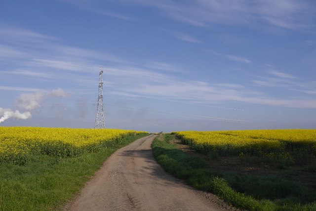
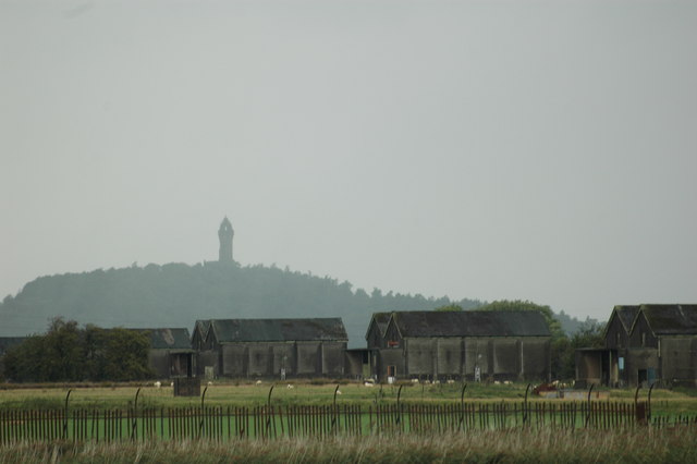
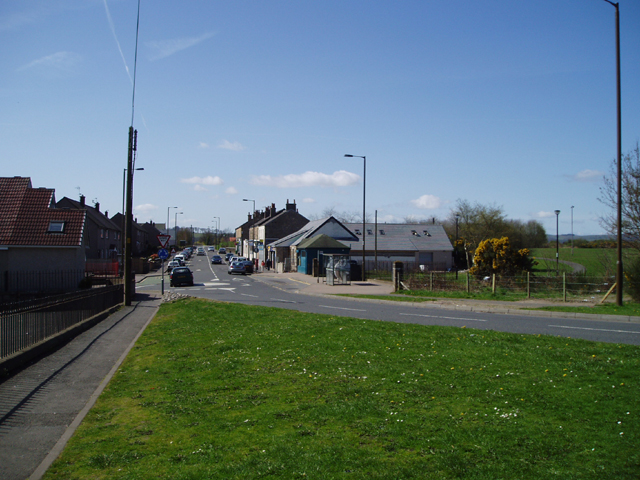
Dunmore Moss Images

Images are sourced within 2km of 56.082101/-3.827628 or Grid Reference NS8689. Thanks to Geograph Open Source API. All images are credited.

Kersie Terrace at South Alloa Looking southward towards the A905.
Kersie Terrace at South Alloa
Looking southward towards the A905.
Telephone box, South Alloa
Newly cultivated land near Throsk A lot of crops were late going in after a long cold spell during Spring.
Newly cultivated land near Throsk
A lot of crops were late going in after a long cold spell during Spring.
South Kersie Arable farm on the Forth flood plain.
South Kersie
Arable farm on the Forth flood plain.
Meadowfield No meadows now, and hedgerows not required - arable land beside the Forth.
Meadowfield
No meadows now, and hedgerows not required - arable land beside the Forth.
Mains of Throsk Arable land, a very flat square.
Mains of Throsk
Arable land, a very flat square.
Mains of Throsk Whilst most land here is arable, there still is some livestock. Bull grazing on spring growth.
Mains of Throsk
Whilst most land here is arable, there still is some livestock. Bull grazing on spring growth.
Farmland At South Mains near Thorsk.
Farmland
At South Mains near Thorsk.
Farmland A view towards South Kersie, and Alloa Glass Works in the distance.
Farmland
A view towards South Kersie, and Alloa Glass Works in the distance.
Stubble, Kerrie Arable land south of the Forth. Taken from the road which, like so many nowadays was closed.
Stubble, Kerrie
Arable land south of the Forth. Taken from the road which, like so many nowadays was closed.
Unsealed road, Cowie Used by the National Cycle Network.
Unsealed road, Cowie
Used by the National Cycle Network.
Arable land and an Ochil view The tramlines seem to be used by more than tractors on this urban fringe field.
Arable land and an Ochil view
The tramlines seem to be used by more than tractors on this urban fringe field.
Hillhead A ploughed field with a hazy view of the Ochils.
Hillhead
A ploughed field with a hazy view of the Ochils.
A brambly wood Under the brambles is an old field boundary.
A brambly wood
Under the brambles is an old field boundary.
Road approaching Moss Wood Looking south-westward.
Road approaching Moss Wood
Looking south-westward.
North Doll A road across the carse.
North Doll
A road across the carse.
Road passing North Doll Straight road across the carse.
Road passing North Doll
Straight road across the carse.
Road to Cowie A farm road has been pressed into service as route 76 of the National Cycle Network.
Road to Cowie
A farm road has been pressed into service as route 76 of the National Cycle Network.
Show me another place!

Dunmore Moss is located at Grid Ref: NS8689 (Lat: 56.082101, Lng: -3.827628)

Unitary Authority: Falkirk

Police Authority: Forth Valley

What 3 Words

///committee.answers.kick. Near Cowie, Stirling

Nearby Locations

Dunmore Moss

Related Wikis

Throsk railway station

The Throsk railway station was a railway station that served the village of Throsk, Stirling, Scotland from 1890 to 1966. == History == The station was...
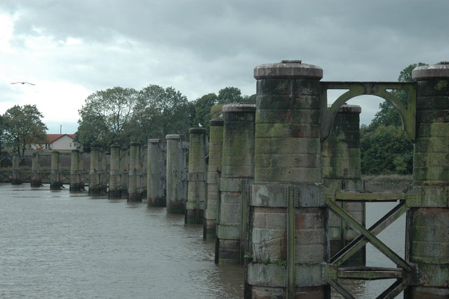
Alloa Swing Bridge

The Alloa Swing Bridge was a railway swing bridge across the River Forth that connected Throsk and Alloa as part of the Alloa Railway. The structure was...

Airth railway station

Airth was a railway station serving Airth in the Scottish county of Falkirk. == History == The station was opened as Carnock Road in July 1852 on the Alloa...

Throsk

Throsk (In Scottish Gaelic: Badan Deathach, meaning the thicket among the mist) is a village in the Stirling council area of Scotland. It lies on the A905...

Cowie, Stirling

Cowie (Scottish Gaelic: Collaidh, meaning wooded place) is a village in the Stirling council area of Scotland. Historically part of Stirlingshire, it lies...

South Alloa

South Alloa is a small village which lies in the far north of the Falkirk council area of Scotland. The village is on the south bank of the River Forth...

Dunmore Pineapple

The Dunmore Pineapple is a folly in Dunmore Park, near Airth in Stirlingshire, Scotland. In 1995 it was ranked "as the most bizarre building in Scotland...

Plean Castle

Plean Tower, also known as Cock-a-bendy Castle, Mengie Castle, Menzies Castle and Plane Castle, is located around 1 mile (1.6 km) from Plean, in Stirling...

Nearby Amenities

Located within 500m of 56.082101,-3.827628
Power: pole
Lat/Long: 56.080955/-3.8323855
Power: pole
Lat/Long: 56.0831506/-3.8214001
Power: pole
Lat/Long: 56.082215/-3.8305503
Power: pole
Lat/Long: 56.0832013/-3.8203539
Power: pole
Lat/Long: 56.0830557/-3.821773
Power: pole
Lat/Long: 56.0829299/-3.8229625
Power: pole
Lat/Long: 56.0828123/-3.8240581
Power: pole
Lat/Long: 56.0826994/-3.8250827
Power: pole
Lat/Long: 56.0826004/-3.8260781
Power: pole
Lat/Long: 56.0824502/-3.8275014
Power: pole
Lat/Long: 56.082293/-3.8290415
Power: pole
Lat/Long: 56.0821439/-3.8305043
Power: pole
Lat/Long: 56.0820624/-3.8312473
Power: pole
Lat/Long: 56.0815198/-3.8318107
Power: pole
Lat/Long: 56.0830155/-3.8228727
Power: pole
Lat/Long: 56.0813684/-3.8300494
Power: pole
Lat/Long: 56.0805905/-3.8295903
Power: pole
Lat/Long: 56.0798219/-3.8291249
Power: pole
Lat/Long: 56.0794341/-3.8283194
Power: pole
Lat/Long: 56.0789962/-3.8274471
Power: pole
Lat/Long: 56.0784466/-3.8263599
Power: pole
Lat/Long: 56.078039/-3.8255251
The data included in this document is from www.openstreetmap.org. The data is made available under ODbL.

Have you been to Dunmore Moss?

Leave your review of Dunmore Moss below (or comments, questions and feedback).