Avenue Plantation
Wood, Forest in Stirlingshire
Scotland
Avenue Plantation
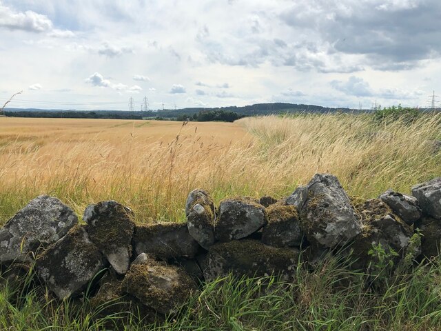
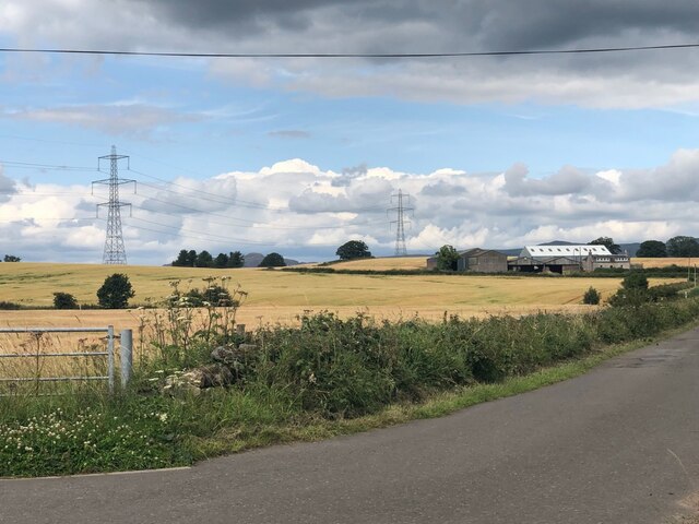
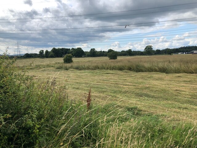
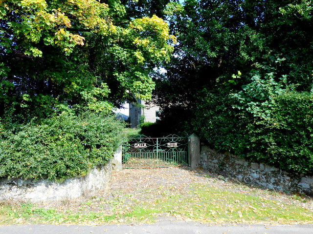
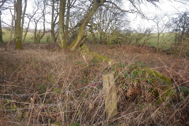
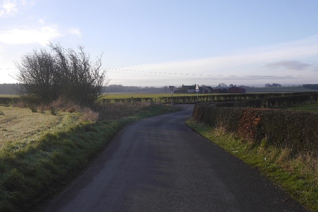
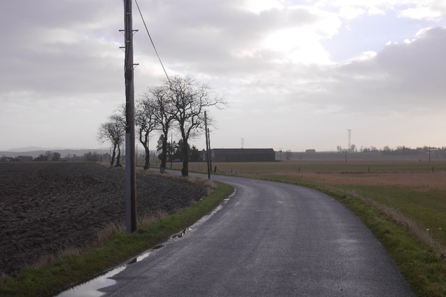
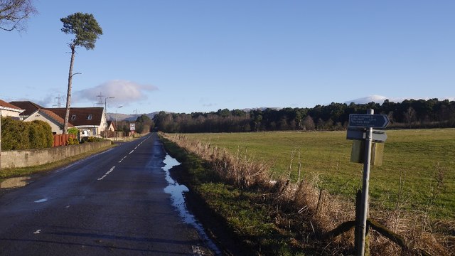
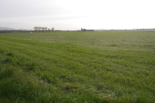
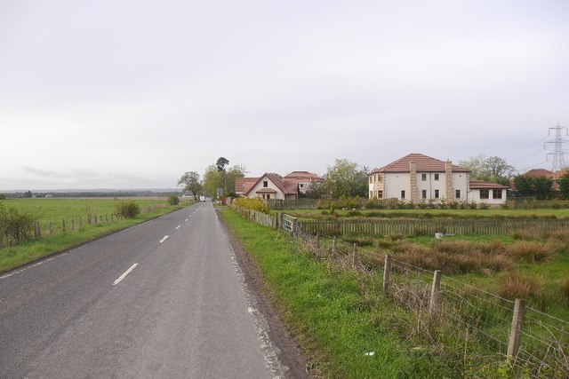
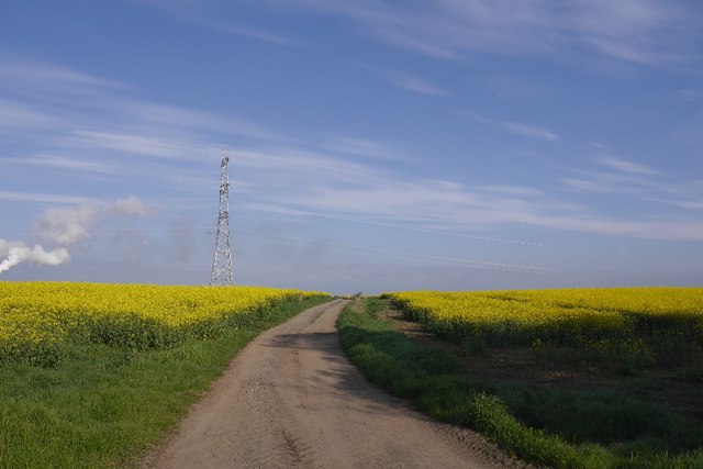
Avenue Plantation is a picturesque woodland located in Stirlingshire, Scotland. Situated near the town of Dunblane, this stunning forest spans over a vast area of approximately 1000 acres. It is known for its lush greenery, towering trees, and tranquil atmosphere, making it a popular destination for nature lovers and outdoor enthusiasts.
The woodland is predominantly composed of native tree species, including oak, birch, and pine, which create a diverse and vibrant ecosystem. Visitors can explore the forest through a network of well-maintained walking trails, offering varying levels of difficulty to cater to all abilities. These paths wind through the enchanting woods, providing breathtaking views of the surrounding countryside.
Avenue Plantation is also home to a wide range of wildlife, making it an ideal spot for birdwatching and wildlife photography. Bird species such as woodpeckers, owls, and finches can be observed, while squirrels, deer, and rabbits can often be spotted darting among the trees.
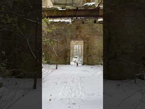
In addition to its natural beauty, Avenue Plantation holds historical significance. The woodland was once part of a grand estate and retains remnants of its past, including the remains of an old mansion. These historical features add a sense of charm and intrigue to the area.
Overall, Avenue Plantation in Stirlingshire offers a serene and captivating woodland experience, combining natural beauty, recreational opportunities, and a glimpse into the region's history.
If you have any feedback on the listing, please let us know in the comments section below.
Avenue Plantation Images
Images are sourced within 2km of 56.066903/-3.8284025 or Grid Reference NS8687. Thanks to Geograph Open Source API. All images are credited.
Avenue Plantation is located at Grid Ref: NS8687 (Lat: 56.066903, Lng: -3.8284025)
Unitary Authority: Stirling
Police Authority: Forth Valley
What 3 Words
///storyline.birds.unsecured. Near Plean, Stirling
Nearby Locations
Related Wikis

Airth railway station
Airth was a railway station serving Airth in the Scottish county of Falkirk. == History == The station was opened as Carnock Road in July 1852 on the Alloa...

Stirling and Falkirk
Stirling and Falkirk is a lieutenancy area of Scotland. It consists of the local government areas of Stirling and Falkirk, which cover the same areas as...
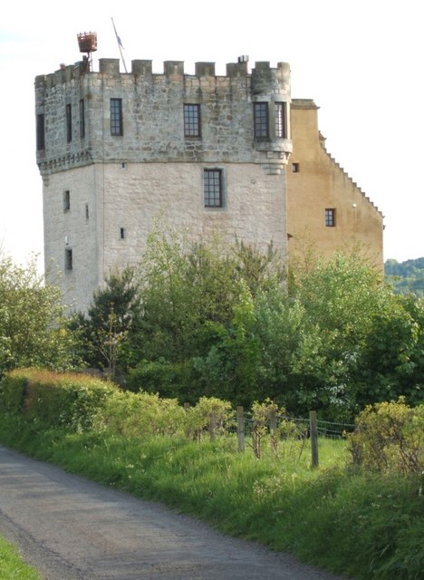
Plean Castle
Plean Tower, also known as Cock-a-bendy Castle, Mengie Castle, Menzies Castle and Plane Castle, is located around 1 mile (1.6 km) from Plean, in Stirling...
Alloa Junction railway station
Alloa Junction railway station was located near Plean, Stirling, Scotland, from 1850 to 1865. == History == The station was opened on 2 September 1850...

Central Region, Scotland
Central region (Roinn Meadhanach in Gaelic) was a local government region from 1975 to 1996, being one of twelve such regions across Scotland. The Regional...

William Simpson's Home
The William Simpson's Home is a care home in Plean, Scotland. It provides care for members of the armed services who have developed mental health or alcohol...

Plean
Plean is a village, in the Stirling council area of central Scotland, located on the main A9 road from Falkirk. At the 2001 census, Plean had a population...
Plean railway station
Plean railway station served the village of Plean, Stirlingshire, Scotland from 1904 to 1956 on the Scottish Central Railway. == History == The station...
Related Videos
Winter is Coming #adventure #eerie
Walking through Dunmore Park you'll find many architectural gems. The unique and quirky Pineapple, the once incredibly grand ...
The PERFECT Winter walk #winteriscoming
Dunmore Park in Airth, Falkirk, is full of exploration, I've yet to see it all. From the quirky weird Pineapple, to Dunmore House - the ...

Britain's spookiest Airbnb, a castle where guests sleep with axes above their heads | SWNS #Shorts
Take a look inside one of Britain's spookiest holiday homes - a 14th-century castle where guests can sleep with axes above their ...
COMING SOON : #urbex & #history at Dunmore House
Subscribe so you don't miss out on this full length urban exploration of Dunmore House, The stables and Elphinstone Tower ...
Nearby Amenities
Located within 500m of 56.066903,-3.8284025Have you been to Avenue Plantation?
Leave your review of Avenue Plantation below (or comments, questions and feedback).