Easter Moss

Wood, Forest in Stirlingshire

Scotland

Easter Moss

Brick structures Perhaps someone can enlighten me with what these were? I presume they have something to do with the old RNAD munitions depot in Throsk, but these seem out of place.
Brick structures Credit: Steve Somerville

Easter Moss is a picturesque woodland area located in Stirlingshire, Scotland. Covering an expansive area, it is a haven for nature enthusiasts and those seeking tranquility amidst the beauty of the Scottish countryside. The moss is nestled amidst rolling hills and green meadows, making it an idyllic escape from the hustle and bustle of city life.

This woodland is characterized by its dense and verdant canopy of trees, primarily consisting of native species such as oak, birch, and rowan. The rich diversity of flora and fauna found within Easter Moss attracts a wide array of wildlife, including birds, mammals, and insects. It is not uncommon to spot red squirrels, roe deer, and various species of birds while exploring the moss.

Visitors to Easter Moss can enjoy a range of recreational activities. There are well-maintained trails that wind through the forest, allowing for pleasant walks or hikes. The peaceful ambiance of the moss makes it an ideal spot for picnics, photography, or simply unwinding amidst nature.

The woodland is also of historical significance, with remnants of ancient settlements and artifacts dating back to prehistoric times. Archaeological enthusiasts can explore these remnants and gain insight into the lives of the early inhabitants of the area.

Easter Moss is a true gem within Stirlingshire, offering a serene and captivating experience for all who venture into its enchanting depths.

If you have any feedback on the listing, please let us know in the comments section below.
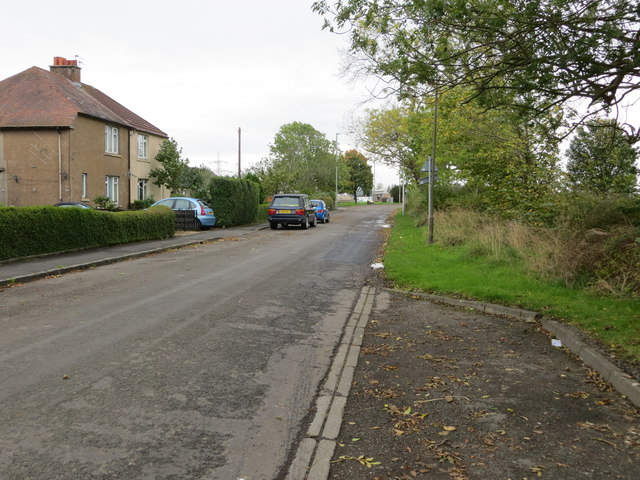
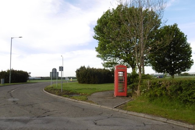
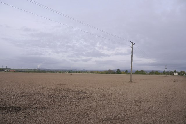
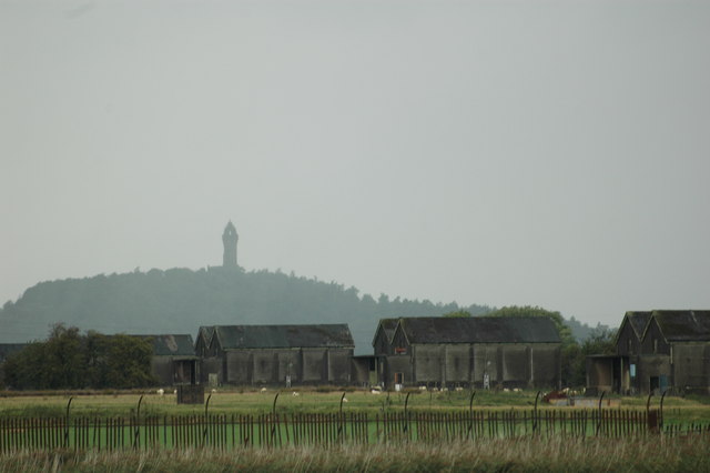
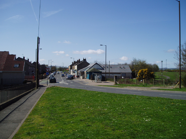
Easter Moss Images

Images are sourced within 2km of 56.086709/-3.8338574 or Grid Reference NS8589. Thanks to Geograph Open Source API. All images are credited.

Brick structures Perhaps someone can enlighten me with what these were? I presume they have something to do with the old RNAD munitions depot in Throsk, but these seem out of place.
Brick structures
Perhaps someone can enlighten me with what these were? I presume they have something to do with the old RNAD munitions depot in Throsk, but these seem out of place.
Brick structures One of two photographs. Perhaps someone can tell me what these were. I presume they had something to do with the RNAD munitions depot in Throsk, but they still seem out of place.
Brick structures
One of two photographs. Perhaps someone can tell me what these were. I presume they had something to do with the RNAD munitions depot in Throsk, but they still seem out of place.
Kersie Terrace at South Alloa Looking southward towards the A905.
Kersie Terrace at South Alloa
Looking southward towards the A905.
Telephone box, South Alloa
Newly cultivated land near Throsk A lot of crops were late going in after a long cold spell during Spring.
Newly cultivated land near Throsk
A lot of crops were late going in after a long cold spell during Spring.
Field, Burnhead Carse land near Fallin.
Field, Burnhead
Carse land near Fallin.
Rough ground, Burnbank Uncultivated grass beside the A905 between Throsk and Fallin.
Rough ground, Burnbank
Uncultivated grass beside the A905 between Throsk and Fallin.
A905, Throsk
A905, Throsk
South Kersie Arable farm on the Forth flood plain.
South Kersie
Arable farm on the Forth flood plain.
Meadowfield No meadows now, and hedgerows not required - arable land beside the Forth.
Meadowfield
No meadows now, and hedgerows not required - arable land beside the Forth.
Mains of Throsk Arable land, a very flat square.
Mains of Throsk
Arable land, a very flat square.
Mains of Throsk Whilst most land here is arable, there still is some livestock. Bull grazing on spring growth.
Mains of Throsk
Whilst most land here is arable, there still is some livestock. Bull grazing on spring growth.
Forth Railway Bridge The railway between Throsk and Alloa was authorised in 1879 as a branch from the Caledonian Railway's South Alloa branch, the CR absorbed the line in 1884 and it was closed from 6 May 1968. The photograph is from the middle of the river, we are passing through where the swing span was, and shows the southern part of the bridge. This bridge, until the opening of the Forth Bridge at Queensferry, was the most downstream bridge on the Forth. Latterly it was a somewhat rickety affair with a 10mph speed restriction and was used by a shuttle service between Larbert and Alloa operated by a 4 wheel diesel railbus although, in earlier years, there had been through Glasgow - Perth services via the Devon Valley. The bridge, by the way, is not shown on the OS 1/50000 map (!) but is on the Admiralty Charts, fortunately.
Forth Railway Bridge
The railway between Throsk and Alloa was authorised in 1879 as a branch from the Caledonian Railway's South Alloa branch, the CR absorbed the line in 1884 and it was closed from 6 May 1968. The photograph is from the middle of the river, we are passing through where the swing span was, and shows the southern part of the bridge. This bridge, until the opening of the Forth Bridge at Queensferry, was the most downstream bridge on the Forth. Latterly it was a somewhat rickety affair with a 10mph speed restriction and was used by a shuttle service between Larbert and Alloa operated by a 4 wheel diesel railbus although, in earlier years, there had been through Glasgow - Perth services via the Devon Valley. The bridge, by the way, is not shown on the OS 1/50000 map (!) but is on the Admiralty Charts, fortunately.
Disused Railway Bridge A view of the west side of a disused railway bridge on the river Forth.<a href="https://www.geograph.org.uk/photo/245180">NS8691 : Forth Railway Bridge</a>
Disused Railway Bridge
A view of the west side of a disused railway bridge on the river Forth.NS8691 : Forth Railway Bridge
Disused Railway Bridge It used to carry trains across the river Forth. <a href="https://www.geograph.org.uk/photo/245180">NS8691 : Forth Railway Bridge</a>
Disused Railway Bridge
It used to carry trains across the river Forth. NS8691 : Forth Railway Bridge
Minor road This well used minor road links the villages of Thorsk and Cowie.
Minor road
This well used minor road links the villages of Thorsk and Cowie.
Farmland At South Mains near Thorsk.
Farmland
At South Mains near Thorsk.
Farmland A view towards South Kersie, and Alloa Glass Works in the distance.
Farmland
A view towards South Kersie, and Alloa Glass Works in the distance.
Show me another place!

Easter Moss is located at Grid Ref: NS8589 (Lat: 56.086709, Lng: -3.8338574)

Unitary Authority: Falkirk

Police Authority: Forth Valley

What 3 Words

///nerves.uniform.frozen. Near Cowie, Stirling

Nearby Locations

Easter Moss

Related Wikis

Throsk railway station

The Throsk railway station was a railway station that served the village of Throsk, Stirling, Scotland from 1890 to 1966. == History == The station was...
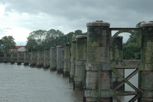
Alloa Swing Bridge

The Alloa Swing Bridge was a railway swing bridge across the River Forth that connected Throsk and Alloa as part of the Alloa Railway. The structure was...

Throsk

Throsk (In Scottish Gaelic: Badan Deathach, meaning the thicket among the mist) is a village in the Stirling council area of Scotland. It lies on the A905...

Cowie, Stirling

Cowie (Scottish Gaelic: Collaidh, meaning wooded place) is a village in the Stirling council area of Scotland. Historically part of Stirlingshire, it lies...

Have you been to Easter Moss?

Leave your review of Easter Moss below (or comments, questions and feedback).