Davidscraig Wood

Wood, Forest in Stirlingshire

Scotland

Davidscraig Wood

Railway bridge, Gallamuir A few years after electrification between Falkirk and Dunblane.
Railway bridge, Gallamuir Credit: Richard Webb

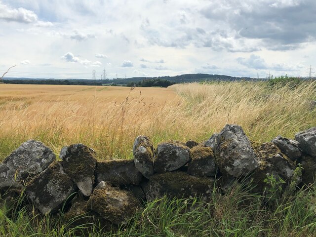
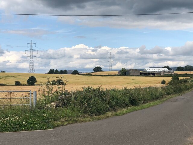
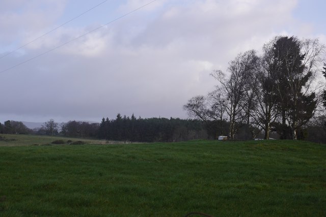
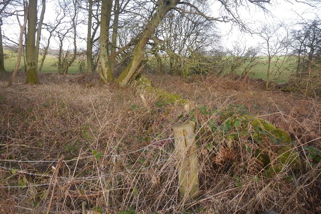
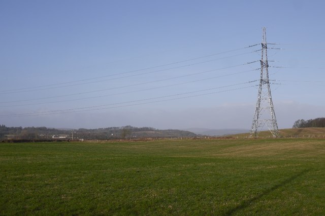
Davidscraig Wood is a picturesque forest located in Stirlingshire, Scotland. Covering an area of approximately 250 hectares, this ancient woodland is a haven for wildlife and a popular destination for outdoor enthusiasts.

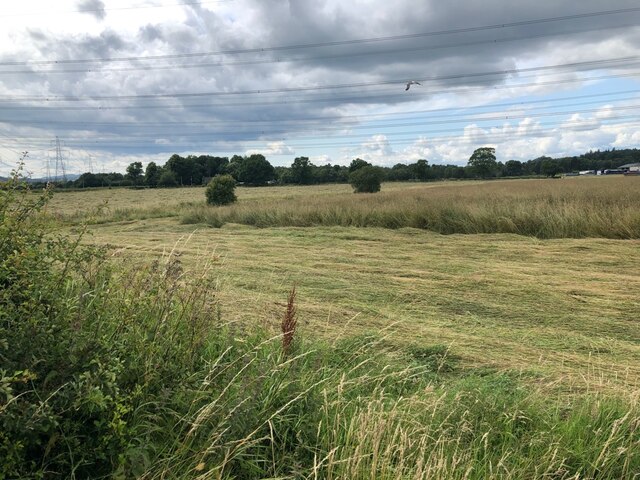
The wood is predominantly made up of native broadleaf trees such as oak, beech, and birch, which provide a rich habitat for a variety of bird species, including woodpeckers, owls, and warblers. Visitors to Davidscraig Wood may also catch a glimpse of red squirrels, deer, and other woodland creatures that call this forest home.

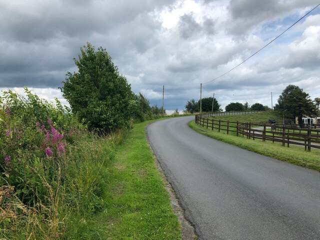
Trails wind through the woodland, offering visitors the chance to explore the diverse flora and fauna that inhabit the area. The forest is also home to several historic sites, including the remains of an ancient settlement and a series of old stone walls.

Davidscraig Wood is a popular spot for walking, birdwatching, and nature photography. With its peaceful atmosphere and stunning natural beauty, it is a must-visit destination for anyone looking to escape the hustle and bustle of everyday life and immerse themselves in the tranquility of the Scottish countryside.

If you have any feedback on the listing, please let us know in the comments section below.

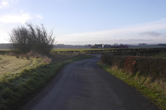
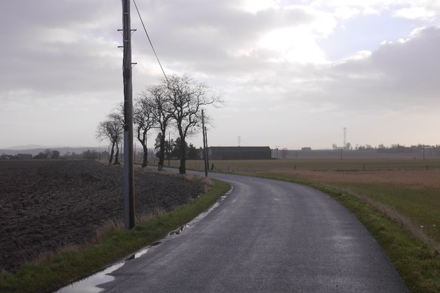
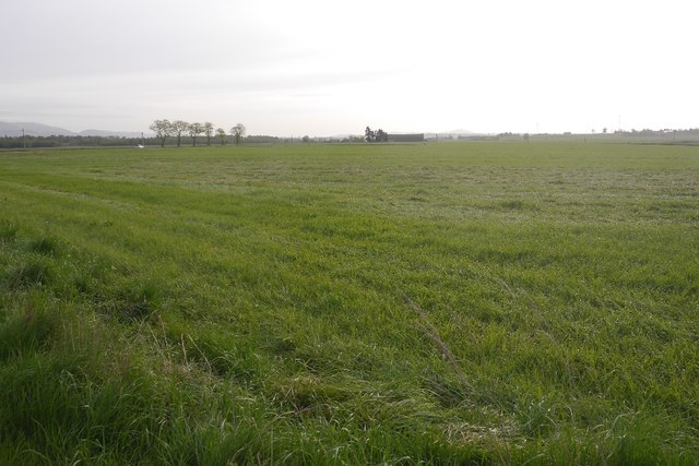
Davidscraig Wood Images

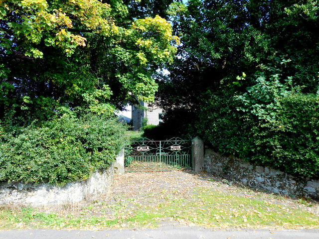
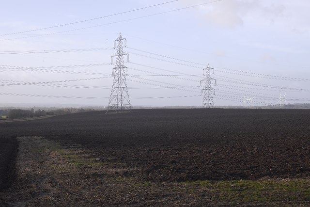
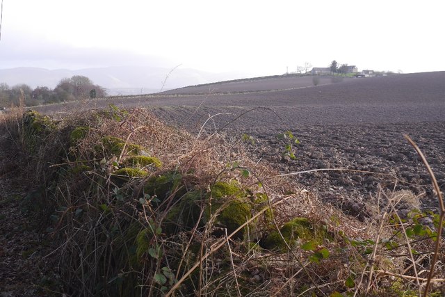
Images are sourced within 2km of 56.06337/-3.838146 or Grid Reference NS8587. Thanks to Geograph Open Source API. All images are credited.

Railway bridge, Gallamuir A few years after electrification between Falkirk and Dunblane.
Railway bridge, Gallamuir
A few years after electrification between Falkirk and Dunblane.
Cattle, Plean
Cattle, Plean
Barley, Plean
Barley, Plean
Whitehill, near Plean
B9124, Airth Station Climbing to cross a long vanished railway.
B9124, Airth Station
Climbing to cross a long vanished railway.
Grass cutting near Airth Station Hay, or silage making.
Grass cutting near Airth Station
Hay, or silage making.
Gallamuir This is the entrance gateway to Gallamuir which is a large working dairy farm that stands on its own just south of Gallamuir Wood.
Gallamuir
This is the entrance gateway to Gallamuir which is a large working dairy farm that stands on its own just south of Gallamuir Wood.
The B9124 This is the minor road from Plean to Airth just as it passes the dairy farm known as Gallamuir one of whose trees over hangs the road. In the distance is the detached house known as Gallamuir Farm Cottage next to the farm.
The B9124
This is the minor road from Plean to Airth just as it passes the dairy farm known as Gallamuir one of whose trees over hangs the road. In the distance is the detached house known as Gallamuir Farm Cottage next to the farm.
Ploughed field near Plean Mill Landscape dominated by pylons, there used to be two power stations on the other side of the Forth. The turbines are a new addition to the scene.
Ploughed field near Plean Mill
Landscape dominated by pylons, there used to be two power stations on the other side of the Forth. The turbines are a new addition to the scene.
Sink in a field The Belfast sink, a variation on the bath in a field theme.  The landscape here is dotted with small rocky knolls, often wooded.
Sink in a field
The Belfast sink, a variation on the bath in a field theme. The landscape here is dotted with small rocky knolls, often wooded.
Hillhead A ploughed field with a hazy view of the Ochils.
Hillhead
A ploughed field with a hazy view of the Ochils.
A brambly wood Under the brambles is an old field boundary.
A brambly wood
Under the brambles is an old field boundary.
Whitehill One of the many pylons in the area.
Whitehill
One of the many pylons in the area.
Wind turbines near Rosehill Three years after <a href="https://www.geograph.org.uk/photo/4261006">NS8685 : Carse land, Kersebrock</a> was taken and there are now turbines here.  A landmark if travelling between Edinburgh and Dunblane by rail or motorway.
Wind turbines near Rosehill
Three years after NS8685 : Carse land, Kersebrock was taken and there are now turbines here. A landmark if travelling between Edinburgh and Dunblane by rail or motorway.
A track over the carse Biggish road, the 1:25,000 map shows a couple of hard standing areas at the end. No wind turbines have appeared recently at the site.
A track over the carse
Biggish road, the 1:25,000 map shows a couple of hard standing areas at the end. No wind turbines have appeared recently at the site.
Road junction Out on the carse near Airth.  The fields are nearly all unfenced, this is long standing arable farming county.
Road junction
Out on the carse near Airth. The fields are nearly all unfenced, this is long standing arable farming county.
B9124, Powbridge Across the sodden carse on a bright morning.  Spring is coming and it's possible once again to get some photos on the way to work.
B9124, Powbridge
Across the sodden carse on a bright morning. Spring is coming and it's possible once again to get some photos on the way to work.
Carse land, Powbridge
Show me another place!

Davidscraig Wood is located at Grid Ref: NS8587 (Lat: 56.06337, Lng: -3.838146)

Unitary Authority: Stirling

Police Authority: Forth Valley

What 3 Words

///nurture.challenge.obey. Near Plean, Stirling

Nearby Locations

Davidscraig Wood

Related Wikis

Stirling and Falkirk

Stirling and Falkirk is a lieutenancy area of Scotland. It consists of the local government areas of Stirling and Falkirk, which cover the same areas as...
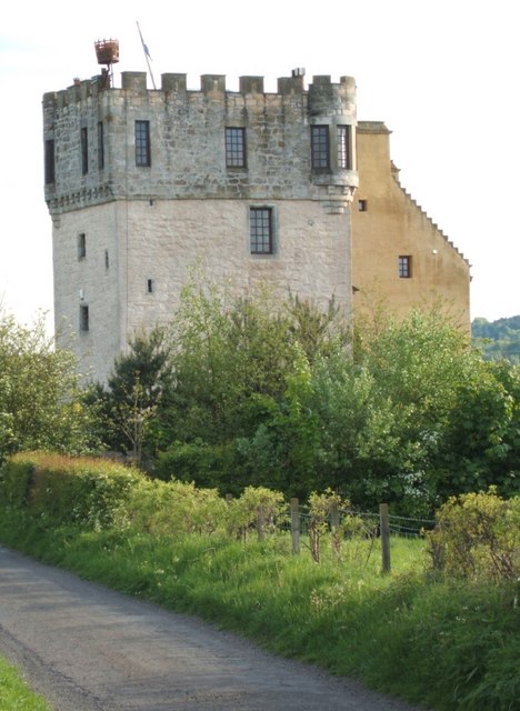
Plean Castle

Plean Tower, also known as Cock-a-bendy Castle, Mengie Castle, Menzies Castle and Plane Castle, is located around 1 mile (1.6 km) from Plean, in Stirling...

Alloa Junction railway station

Alloa Junction railway station was located near Plean, Stirling, Scotland, from 1850 to 1865. == History == The station was opened on 2 September 1850...

Airth railway station

Airth was a railway station serving Airth in the Scottish county of Falkirk. == History == The station was opened as Carnock Road in July 1852 on the Alloa...

Nearby Amenities

Located within 500m of 56.06337,-3.838146
Material: wood
Power: pole
Lat/Long: 56.0643645/-3.8417261
Power: pole
Lat/Long: 56.0610373/-3.8430275
Material: wood
Power: pole
Lat/Long: 56.0635407/-3.8420497
Power: pole
Lat/Long: 56.0602298/-3.8433381
Power: pole
Lat/Long: 56.0664485/-3.8403539
Power: pole
Lat/Long: 56.0626645/-3.8423939
Power: pole
Lat/Long: 56.0671989/-3.8399042
Material: wood
Power: pole
Lat/Long: 56.0657456/-3.8408164
Material: wood
Power: pole
Lat/Long: 56.0650776/-3.8412625
Power: pole
Lat/Long: 56.0618527/-3.842709
Power: tower
Lat/Long: 56.0589088/-3.8387463
Design: barrel
Power: tower
Lat/Long: 56.0606808/-3.8324693
Power: tower
Lat/Long: 56.0597524/-3.8343328
Design: barrel
Power: tower
Lat/Long: 56.0595445/-3.8383998
Power: pole
Lat/Long: 56.0612302/-3.8445927
Power: pole
Lat/Long: 56.0611242/-3.843712
Power: pole
Lat/Long: 56.061031/-3.8429691
Power: pole
Lat/Long: 56.0611545/-3.8420884
Power: pole
Lat/Long: 56.0612686/-3.841237
Power: pole
Lat/Long: 56.0613642/-3.8403668
Power: pole
Lat/Long: 56.0615564/-3.8385679
Power: pole
Lat/Long: 56.06161/-3.8376581
Power: pole
Lat/Long: 56.0618174/-3.8401665
Power: pole
Lat/Long: 56.0622182/-3.8397846
Power: pole
Lat/Long: 56.0625153/-3.8391293
Power: pole
Lat/Long: 56.0628089/-3.8384928
Power: pole
Lat/Long: 56.0630792/-3.8378793
Power: pole
Lat/Long: 56.0633844/-3.8372177
Power: pole
Lat/Long: 56.0668933/-3.8425392
Power: pole
Lat/Long: 56.0666941/-3.8414812
Power: pole
Lat/Long: 56.0664903/-3.8404524
Power: pole
Lat/Long: 56.0664413/-3.8402332
Material: wood
Power: pole
Lat/Long: 56.0662165/-3.8391189
Material: wood
Power: pole
Lat/Long: 56.0660243/-3.8382132
Material: wood
Power: pole
Lat/Long: 56.0658134/-3.8371551
Material: wood
Power: pole
Lat/Long: 56.065556/-3.8358613
Material: wood
Power: pole
Lat/Long: 56.0653358/-3.8348179
Power: pole
Lat/Long: 56.065104/-3.8336576
Power: pole
Lat/Long: 56.064829/-3.8322865
Power: pole
Lat/Long: 56.064645/-3.8313975
Material: wood
Power: pole
Lat/Long: 56.0638656/-3.8308403
Material: wood
Power: pole
Lat/Long: 56.0638388/-3.8313829
Power: pole
Lat/Long: 56.0639063/-3.8301892
Power: pole
Lat/Long: 56.0631968/-3.8303541
The data included in this document is from www.openstreetmap.org. The data is made available under ODbL.

Have you been to Davidscraig Wood?

Leave your review of Davidscraig Wood below (or comments, questions and feedback).