Castleton Wood
Wood, Forest in Stirlingshire
Scotland
Castleton Wood

Castleton Wood is a picturesque forest located in Stirlingshire, Scotland. Covering an area of approximately 200 hectares, this woodland is a popular destination for nature lovers, hikers, and wildlife enthusiasts. It is situated near the village of Killearn, just a short drive from the city of Stirling.
The woodland is characterized by its diverse range of tree species, including oak, birch, beech, and Scots pine. These trees create a dense canopy, providing a peaceful and tranquil environment for visitors. The forest floor is carpeted with a variety of plants and wildflowers, adding to the natural beauty of the area.
Castleton Wood offers a network of well-maintained walking trails, allowing visitors to explore the forest at their own pace. These paths lead through different sections of the woodland, providing opportunities to discover hidden glades, ancient ruins, and stunning viewpoints. The trails are suitable for all ages and abilities, making it an ideal destination for families and individuals seeking outdoor recreation.
Wildlife is abundant in Castleton Wood, with a diverse range of species calling it home. Visitors may spot red squirrels, roe deer, and a variety of bird species including woodpeckers and owls. The forest also supports a rich ecosystem of insects, fungi, and small mammals.
Castleton Wood is a designated nature reserve, managed by local conservation organizations. They work to protect and preserve the natural habitat, ensuring that visitors can continue to enjoy this beautiful woodland for years to come.
If you have any feedback on the listing, please let us know in the comments section below.
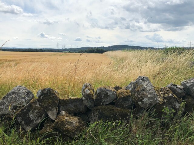
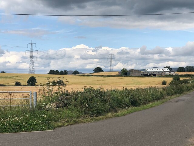
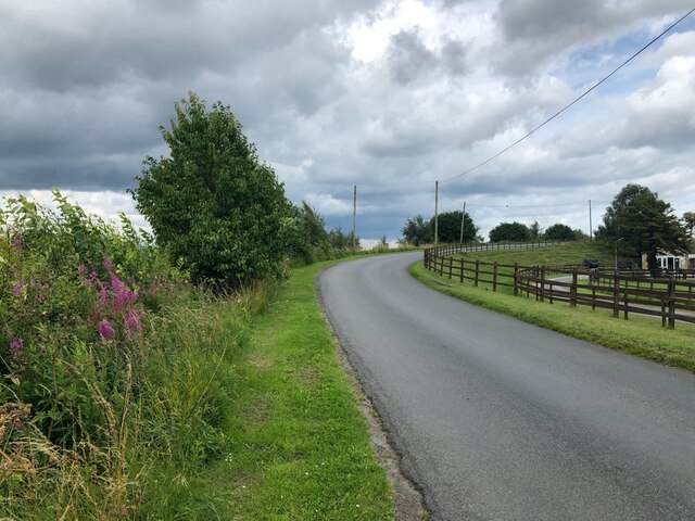
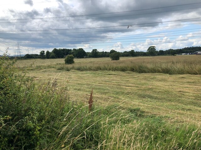
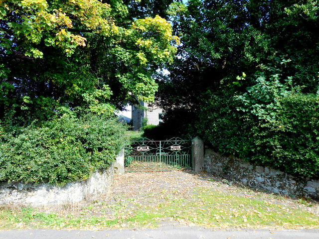
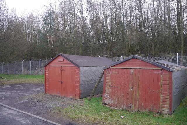
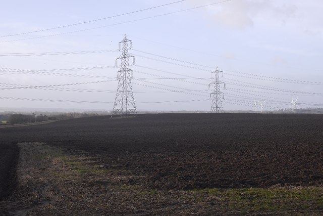
Castleton Wood Images
Images are sourced within 2km of 56.073628/-3.8414462 or Grid Reference NS8588. Thanks to Geograph Open Source API. All images are credited.


Castleton Wood is located at Grid Ref: NS8588 (Lat: 56.073628, Lng: -3.8414462)
Unitary Authority: Stirling
Police Authority: Forth Valley
What 3 Words
///serves.practical.stream. Near Cowie, Stirling
Nearby Locations
Related Wikis
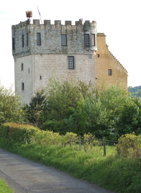
Plean Castle
Plean Tower, also known as Cock-a-bendy Castle, Mengie Castle, Menzies Castle and Plane Castle, is located around 1 mile (1.6 km) from Plean, in Stirling...

Stirling and Falkirk
Stirling and Falkirk is a lieutenancy area of Scotland. It consists of the local government areas of Stirling and Falkirk, which cover the same areas as...
Cowie, Stirling
Cowie (Scottish Gaelic: Collaidh, meaning wooded place) is a village in the Stirling council area of Scotland. Historically part of Stirlingshire, it lies...

Plean railway station
Plean railway station served the village of Plean, Stirlingshire, Scotland from 1904 to 1956 on the Scottish Central Railway. == History == The station...
Nearby Amenities
Located within 500m of 56.073628,-3.8414462Have you been to Castleton Wood?
Leave your review of Castleton Wood below (or comments, questions and feedback).