Tippet Wood
Wood, Forest in Dumfriesshire
Scotland
Tippet Wood
Tippet Wood is a charming forest located in Dumfriesshire, a region in southwest Scotland. Covering an area of approximately 100 hectares, this wood is a haven for nature enthusiasts and those seeking tranquility in a stunning natural setting.
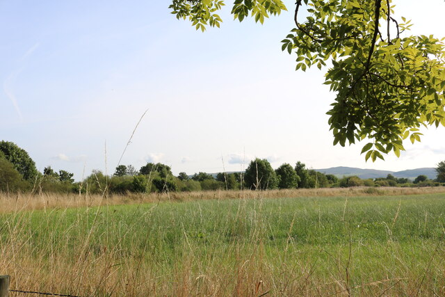
The wood is primarily composed of native broadleaf trees, with a diverse mix of species such as oak, ash, birch, and alder. These towering trees create a dense canopy that provides shade and shelter for a variety of flora and fauna. The forest floor is carpeted with a rich layer of mosses, ferns, and wildflowers, creating a vibrant and picturesque landscape.
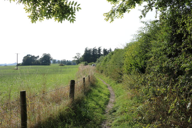
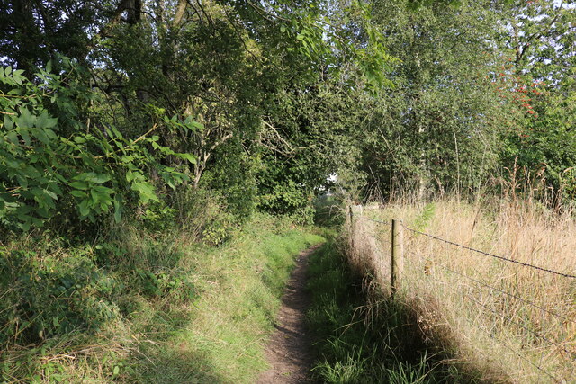
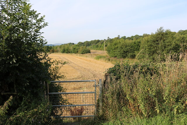
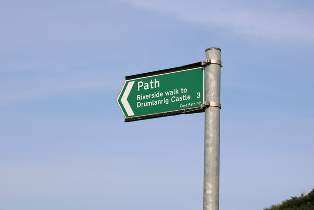
A network of well-maintained paths and trails meanders through Tippet Wood, inviting visitors to explore its hidden corners. The paths offer different levels of difficulty, catering to both casual walkers and more adventurous hikers. Along the way, there are several viewpoints that offer breathtaking vistas of the surrounding countryside, including rolling hills, meandering rivers, and distant peaks.
Tippet Wood is home to a diverse range of wildlife, making it a popular spot for birdwatching and nature photography. Visitors may catch a glimpse of red squirrels, roe deer, and even the elusive pine marten. The wood also boasts a rich bird population, with species such as great spotted woodpeckers, tree pipits, and crossbills.
Managed by a local conservation organization, Tippet Wood is well-preserved and cared for, ensuring that its natural beauty remains intact for generations to come. With its tranquil atmosphere and stunning scenery, Tippet Wood offers a welcome respite from the hustle and bustle of everyday life, making it a must-visit destination for nature lovers in Dumfriesshire.
If you have any feedback on the listing, please let us know in the comments section below.
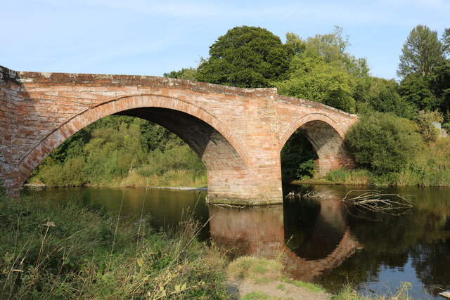
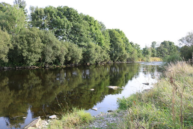
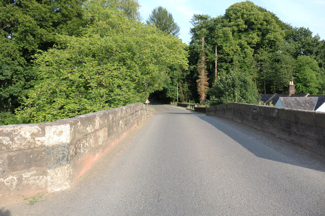
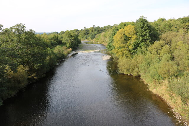
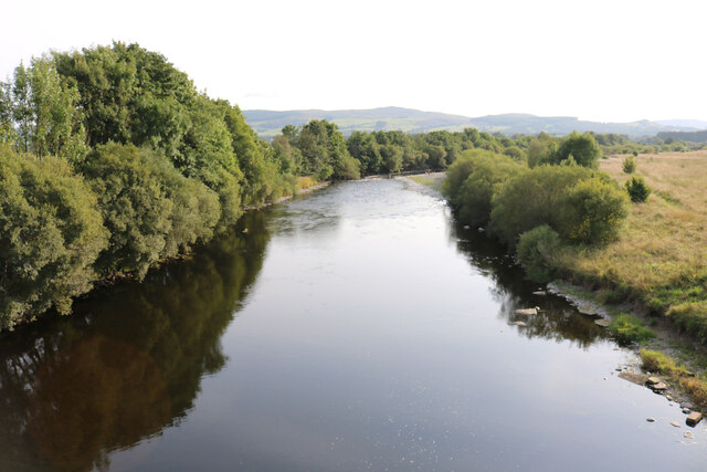
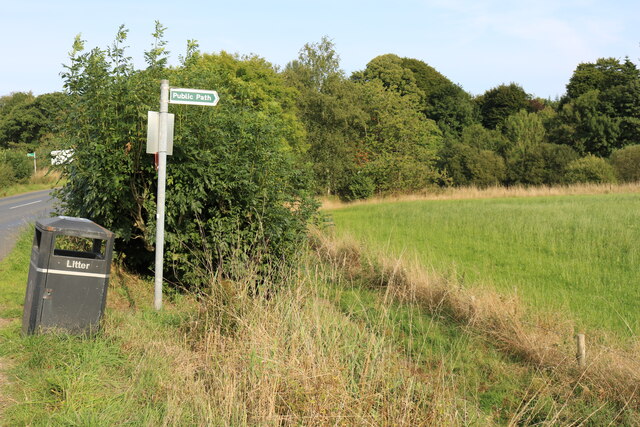
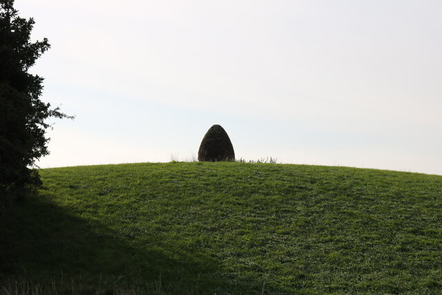
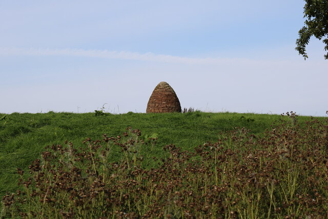
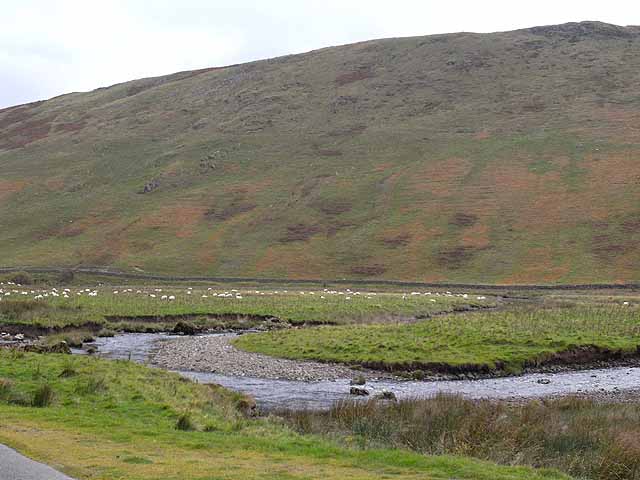
Tippet Wood Images
Images are sourced within 2km of 55.240208/-3.8069505 or Grid Reference NX8595. Thanks to Geograph Open Source API. All images are credited.
Tippet Wood is located at Grid Ref: NX8595 (Lat: 55.240208, Lng: -3.8069505)
Unitary Authority: Dumfries and Galloway
Police Authority: Dumfries and Galloway
What 3 Words
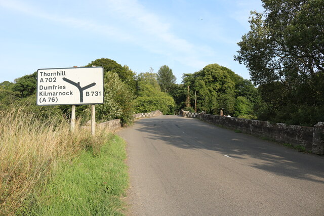
///deal.author.increment. Near Thornhill, Dumfries & Galloway
Nearby Locations
Related Wikis
Scaur Water
Scaur Water is a river which rises near Polskeoch in the Scaur hills in the region of Dumfries and Galloway, Scotland. It flows from its source near Sanquhar...

Penpont
Penpont is a village about 2 miles (3 km) west of Thornhill in Dumfriesshire, in the Dumfries and Galloway region of Scotland. It is near the confluence...

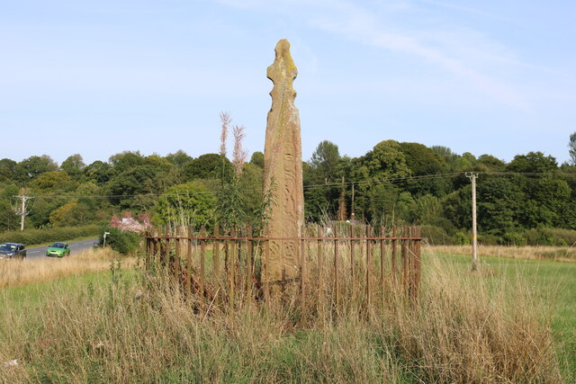
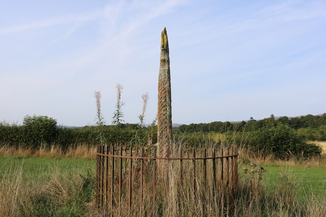
Nith Bridge cross
The Nith Bridge cross (also known as the Boatford cross) is a sculptured Anglo-Saxon cross, near the village of Thornhill, Dumfries and Galloway. It is...

Keir, Dumfries and Galloway
Keir is a civil parish, containing the small village of Keir Mill, in Dumfries and Galloway, Scotland, one mile south of Penpont. It was founded in the...

Thornhill, Dumfries and Galloway
Thornhill (Scottish Gaelic: Bàrr na Driseig) is a village in the Mid Nithsdale area of Dumfries and Galloway, Scotland, south of Sanquhar and north of...

Thornhill Hospital
Thornhill Hospital is a health facility in Townhead Street, Thornhill, Dumfries and Galloway, Scotland. It is managed by NHS Dumfries and Galloway. �...

Carron Water, Dumfriesshire
The Carron Water (Scottish Gaelic: Carrann) is a tributary of the River Nith in southwest Scotland. It rises in the Dalveen Pass in the Lowther Hills as...
Grennan Hill
Grennan Hill is the site of an Iron Age hill fort outside Penpont in Dumfries and Galloway, Scotland. == References == Schedule "Grennan Hill, NMRS Number...
Nearby Amenities
Located within 500m of 55.240208,-3.8069505Have you been to Tippet Wood?
Leave your review of Tippet Wood below (or comments, questions and feedback).