Aucheninnes Plantations
Wood, Forest in Kirkcudbrightshire
Scotland
Aucheninnes Plantations
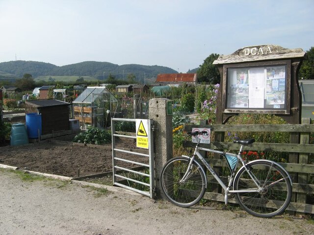
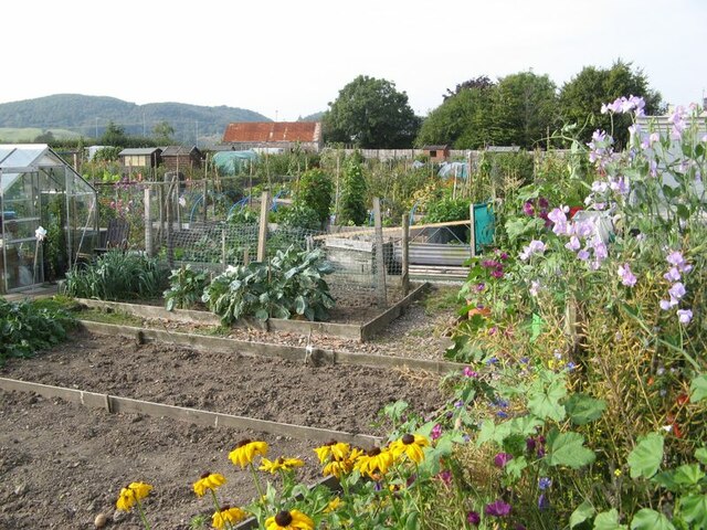
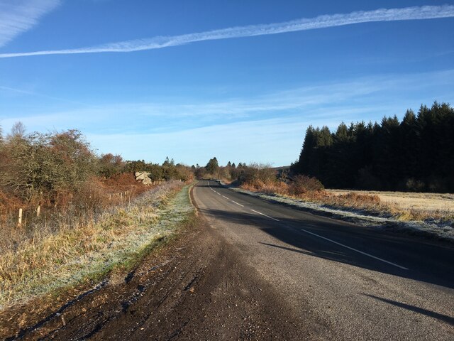
Aucheninnes Plantations is a large area of woodland located in Kirkcudbrightshire, Scotland. The plantations cover a vast expanse of land, providing a diverse and rich habitat for a wide variety of wildlife. The woodlands are predominantly made up of a mixture of native and exotic tree species, including oak, beech, pine, and spruce.
The plantations are well-maintained and managed, with designated paths and trails for visitors to explore and enjoy the natural beauty of the area. The woodlands are popular with hikers, cyclists, and nature enthusiasts, who come to admire the stunning scenery and observe the wildlife that calls Aucheninnes Plantations home.
In addition to its recreational value, the plantations also serve important ecological functions, providing a valuable habitat for birds, mammals, and insects. The diverse range of tree species supports a healthy ecosystem and contributes to the overall biodiversity of the area.
Overall, Aucheninnes Plantations is a beautiful and diverse woodland that offers visitors the opportunity to connect with nature and experience the tranquility of the Scottish countryside.
If you have any feedback on the listing, please let us know in the comments section below.
Aucheninnes Plantations Images
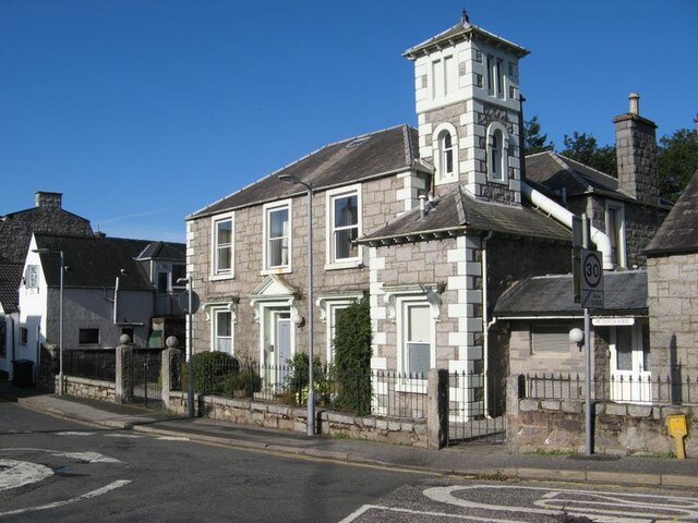
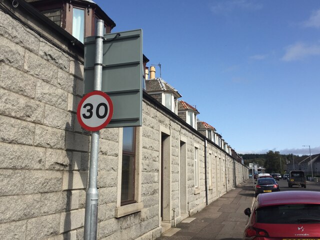
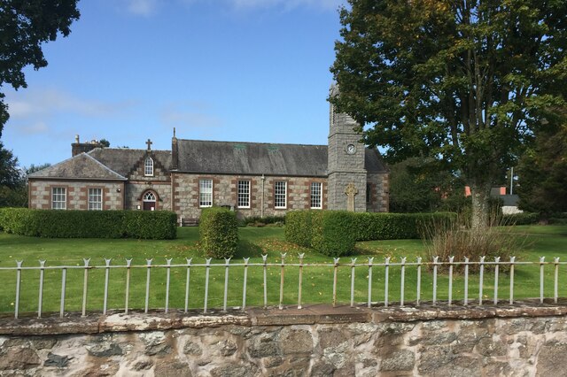
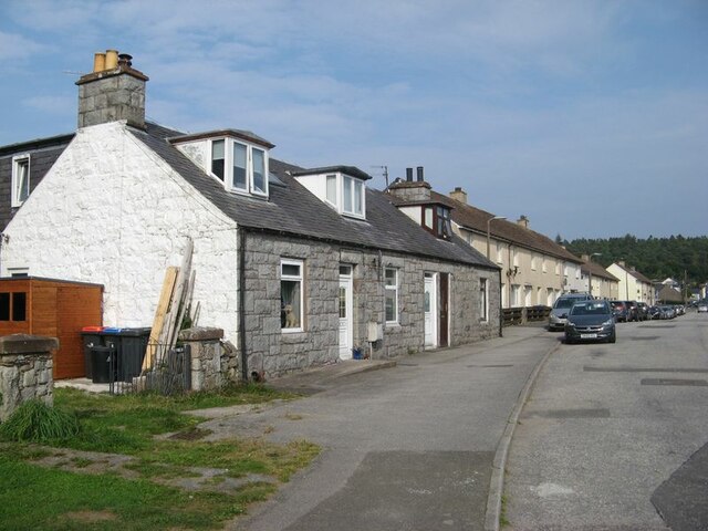
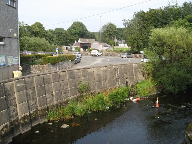
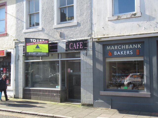
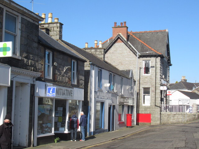
Images are sourced within 2km of 54.920163/-3.8043404 or Grid Reference NX8459. Thanks to Geograph Open Source API. All images are credited.

Aucheninnes Plantations is located at Grid Ref: NX8459 (Lat: 54.920163, Lng: -3.8043404)
Unitary Authority: Dumfries and Galloway
Police Authority: Dumfries and Galloway
What 3 Words
///offerings.commander.giggled. Near Dalbeattie, Dumfries & Galloway
Nearby Locations
Related Wikis

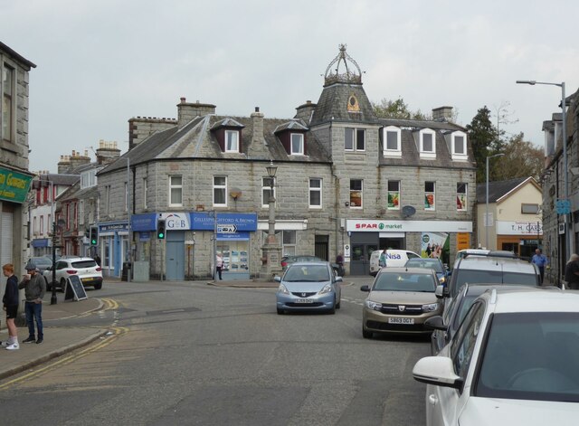
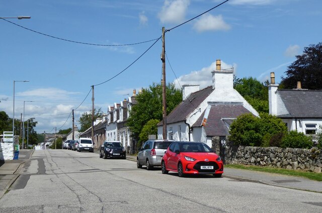
Dalbeattie
Dalbeattie (, Scots: Dawbeattie, Scottish Gaelic: Dail Bheithe meaning 'haugh of the birch' or Dail bhàite 'drowned (i.e. liable to flood) haugh') is a...

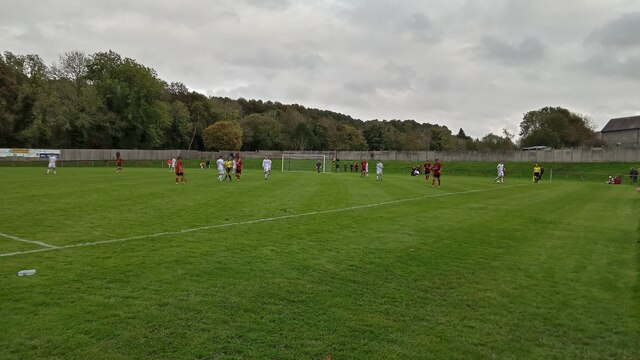
Dalbeattie Star F.C.
Dalbeattie Star Football Club is a Scottish association football club based in Dalbeattie, Dumfries and Galloway. It currently competes in the South of...
Dalbeattie Town Hall
Dalbeattie Town Hall is a municipal building in the High Street in Dalbeattie, Dumfries and Galloway, Scotland. The structure, which is used as community...
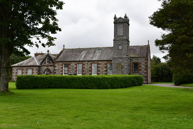
Dalbeattie High School
Dalbeattie High School is a small rural secondary school on the edge of Dalbeattie in the historical county of Kirkcudbrightshire in the local council...
Nearby Amenities
Located within 500m of 54.920163,-3.8043404Have you been to Aucheninnes Plantations?
Leave your review of Aucheninnes Plantations below (or comments, questions and feedback).