Victoria Wood

Wood, Forest in Perthshire

Scotland

Victoria Wood

Road in low cloud, Muirhead Like many roads in the area it is tree lined.
Road in low cloud, Muirhead Credit: Richard Webb

The requested URL returned error: 429 Too Many Requests

If you have any feedback on the listing, please let us know in the comments section below.

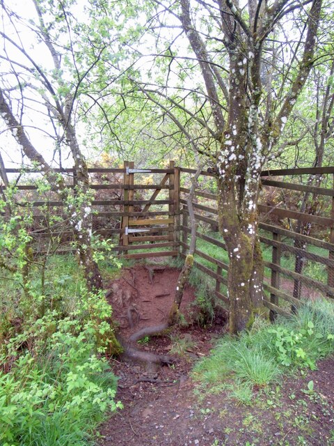
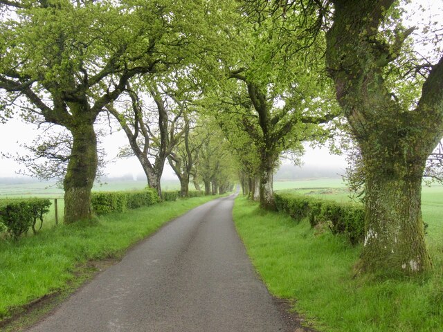
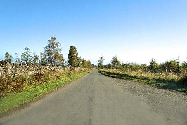
Victoria Wood Images

Images are sourced within 2km of 56.312286/-3.8700232 or Grid Reference NN8414. Thanks to Geograph Open Source API. All images are credited.

Road in low cloud, Muirhead Like many roads in the area it is tree lined.
Road in low cloud, Muirhead
Like many roads in the area it is tree lined.
Gate into the woods The main gate is a fearsome mesh job with lots of notices. Look carefully and there is a side gate for non vehicular access.
Gate into the woods
The main gate is a fearsome mesh job with lots of notices. Look carefully and there is a side gate for non vehicular access.
Forest road, Muirhead
Road near Muirhead Tree lined road as is common here.
Road near Muirhead
Tree lined road as is common here.
Beauly - Denny power line In low cloud.
Beauly - Denny power line
In low cloud.
Fields, Muirhead The Drummond area has a lot of big oak trees.
Fields, Muirhead
The Drummond area has a lot of big oak trees.
Road to Muthill Anmore Wood on left.
Road to Muthill
Anmore Wood on left.
Muirside Strip, Muthill
Bridge over Machany Water
Road from Muthill to Braco
Ordnance Survey Cut Mark This OS cut mark can be found on the roadside building at Lurg. it marks a point 117.528m above mean sea level.
Ordnance Survey Cut Mark
This OS cut mark can be found on the roadside building at Lurg. it marks a point 117.528m above mean sea level.
Muirside Strip and Anmore Wood Road out of Muthill.
Muirside Strip and Anmore Wood
Road out of Muthill.
Road to Muthill Leaving Anmore Wood.
Road to Muthill
Leaving Anmore Wood.
Field, Easter Ochtermuthill View towards Stùc a' Chroin and Ben Vorlich.
Field, Easter Ochtermuthill
View towards Stùc a' Chroin and Ben Vorlich.
Anmore Wood Road on the west edge of Anmore Wood near Muthill.
Anmore Wood
Road on the west edge of Anmore Wood near Muthill.
Junction of roads to the west of Anmore Wood Looking south-eastward.
Junction of roads to the west of Anmore Wood
Looking south-eastward.
Bridge over Machany Water
Farmyard at Lurg
Farmyard at Lurg
Show me another place!

Victoria Wood is located at Grid Ref: NN8414 (Lat: 56.312286, Lng: -3.8700232)

Unitary Authority: Perth and Kinross

Police Authority: Tayside

What 3 Words

///defends.falters.tinny. Near Crieff, Perth & Kinross

Nearby Locations

Victoria Wood

Related Wikis

Muthill

Muthill, pronounced [ˈmjuːθɪl], is a village in Perth and Kinross, Perthshire, Scotland. The name derives from Scottish Gaelic Maothail meaning “soft-ground...
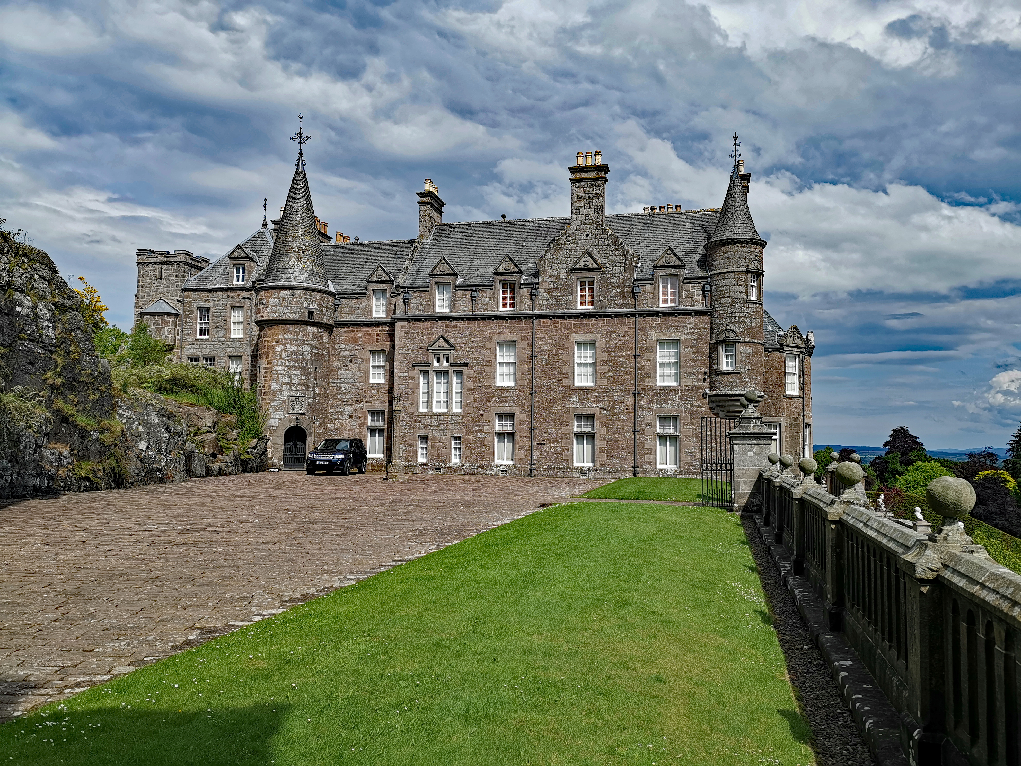
Drummond Castle

Drummond Castle is located in Perthshire, Scotland. The castle is known for its gardens, described by Historic Environment Scotland as "the best example...

Ardoch, Perth and Kinross

Ardoch is a community in Perth and Kinross in Scotland, the largest population of which is in the village of Braco, west-southwest of Perth. == Geography... ==

Pond of Drummond

Pond of Drummond is a small shallow freshwater artificial loch in the grounds of Drummond Castle, and is orientated on an east to west orientation, being...

Nearby Amenities

Located within 500m of 56.312286,-3.8700232
Power: pole
Lat/Long: 56.315436/-3.8715936
Power: pole
Lat/Long: 56.3156772/-3.8702573
Power: pole
Lat/Long: 56.3159171/-3.8689659
Power: pole
Lat/Long: 56.3161653/-3.8676659
The data included in this document is from www.openstreetmap.org. The data is made available under ODbL.

Have you been to Victoria Wood?

Leave your review of Victoria Wood below (or comments, questions and feedback).