Christieneuck Wood
Wood, Forest in Stirlingshire
Scotland
Christieneuck Wood

Christieneuck Wood is a picturesque forest located in Stirlingshire, Scotland. Covering an area of approximately 150 hectares, this enchanting woodland is nestled in a tranquil and remote setting, making it a popular destination for nature lovers and outdoor enthusiasts.
The woodland is primarily composed of native broadleaf trees, including oak, birch, and rowan, which create a diverse and vibrant ecosystem. The forest floor is adorned with a carpet of lush green moss and a rich variety of wildflowers, offering a haven for an array of wildlife species.
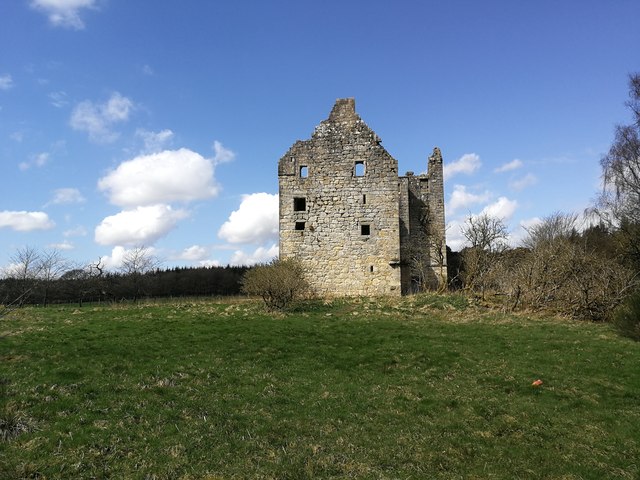
Christieneuck Wood boasts a network of well-maintained trails and paths, allowing visitors to explore the forest at their own pace. These paths wind through the woods, passing by serene streams, peaceful ponds, and captivating viewpoints. The forest is also home to a number of ancient ruins, adding a touch of historical intrigue to the area.
The woodland provides an ideal habitat for a wide range of bird species, and birdwatchers will be delighted by the opportunity to spot rare and migratory birds here. Additionally, the forest is frequented by red squirrels, roe deer, and other mammals, offering wildlife enthusiasts ample opportunities for observation and photography.
Visitors to Christieneuck Wood can enjoy a peaceful retreat in the heart of nature, immersing themselves in the tranquility and beauty of this serene forest. Whether it is a leisurely walk, birdwatching, or simply appreciating the natural surroundings, this woodland offers a welcome escape from the hustle and bustle of everyday life.
If you have any feedback on the listing, please let us know in the comments section below.
Christieneuck Wood Images
Images are sourced within 2km of 56.035184/-3.8570621 or Grid Reference NS8484. Thanks to Geograph Open Source API. All images are credited.


Christieneuck Wood is located at Grid Ref: NS8484 (Lat: 56.035184, Lng: -3.8570621)
Unitary Authority: Falkirk
Police Authority: Forth Valley
What 3 Words
///examples.strumming.coil. Near Larbert, Falkirk
Nearby Locations
Related Wikis

Torwood
Torwood (Scottish Gaelic: Coille Tor) is a small village located 2 miles (3.2 km) north-northwest of Larbert, 4 miles (6.4 km) north-west of Falkirk and...
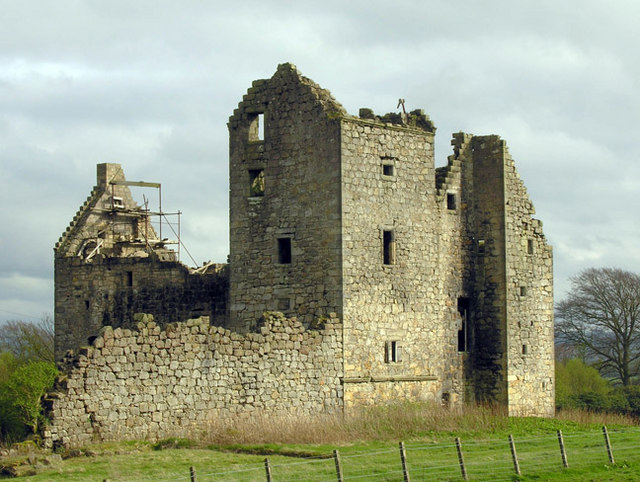
Torwood Castle
Torwood Castle is a ruined 16th-century L-plan castle near the village of Torwood, in the Falkirk Council area of central Scotland. It was designated as...
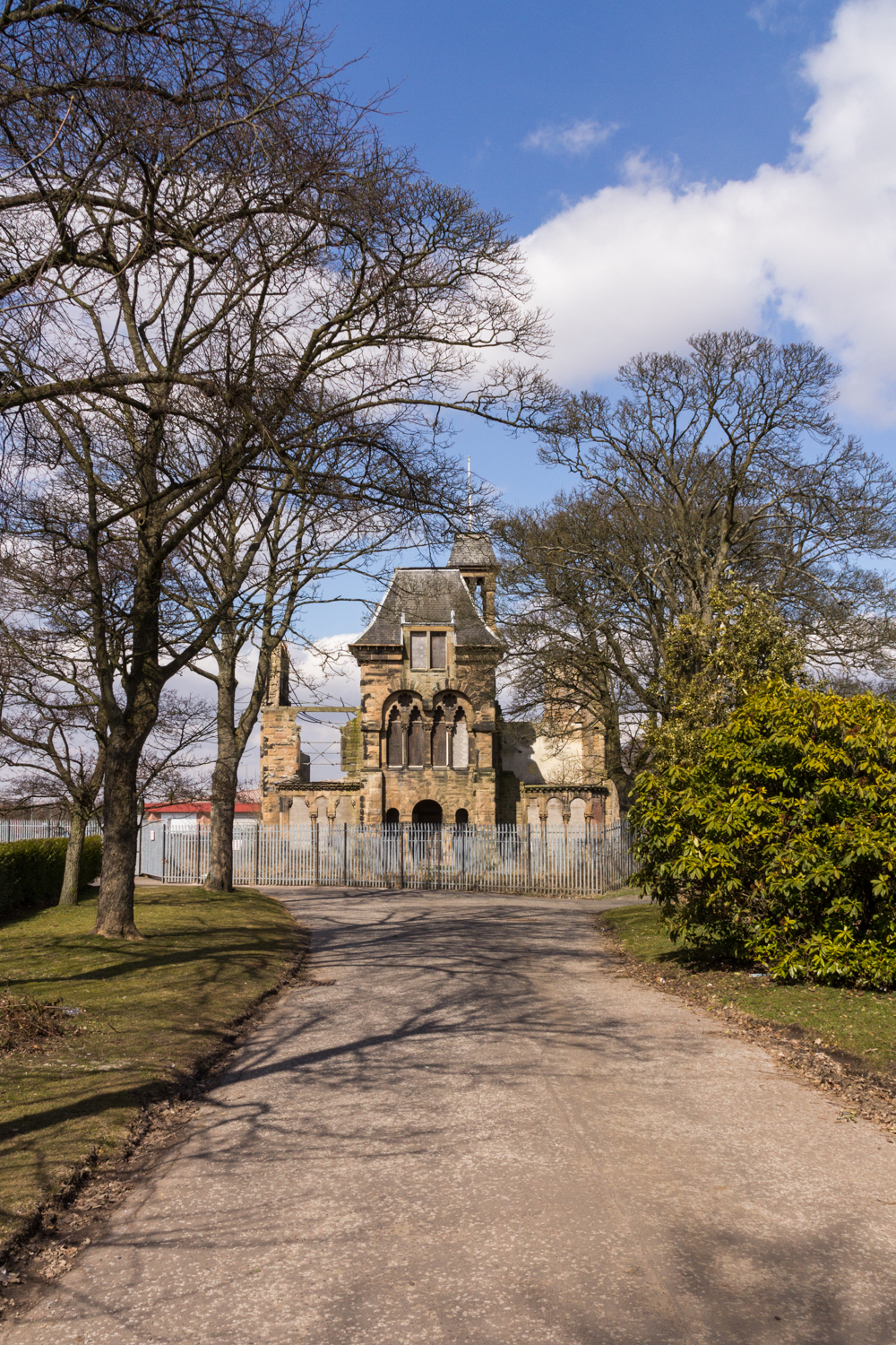
Royal Scottish National Hospital
The Royal Scottish National Hospital was a psychiatric institution situated in Larbert, Falkirk, Scotland. It was first founded as the Scottish National...

Forth Valley Royal Hospital
Forth Valley Royal Hospital is a hospital located in Larbert, Scotland. With 860 inpatient beds, 25 wards, and 16 operating theatres, it was Scotland's...
Nearby Amenities
Located within 500m of 56.035184,-3.8570621Have you been to Christieneuck Wood?
Leave your review of Christieneuck Wood below (or comments, questions and feedback).