Burned Wood
Wood, Forest in Lanarkshire
Scotland
Burned Wood

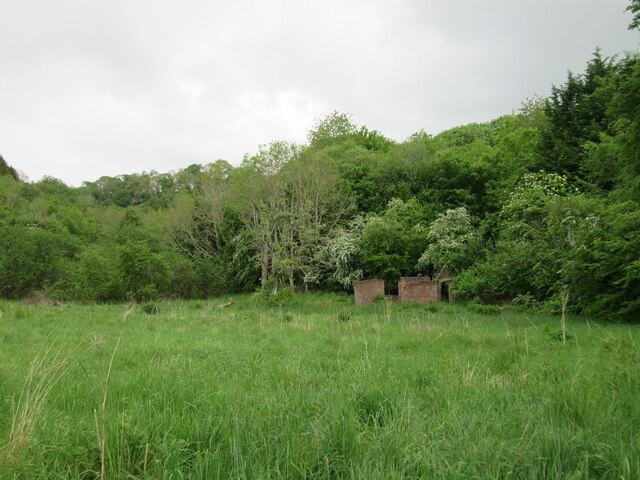
Burned Wood is a picturesque forest located in Lanarkshire, Scotland. Covering an area of approximately 500 acres, it is a popular destination for nature enthusiasts and hikers alike. The forest is situated near the village of Wood and offers a tranquil and serene environment for visitors to immerse themselves in the beauty of nature.
The woodland in Burned Wood is predominantly composed of native tree species such as oak, birch, and pine. These trees provide a diverse habitat for a wide range of flora and fauna, making it a haven for wildlife. Visitors can expect to encounter various bird species, including woodpeckers and owls, as well as small mammals like squirrels and deer.
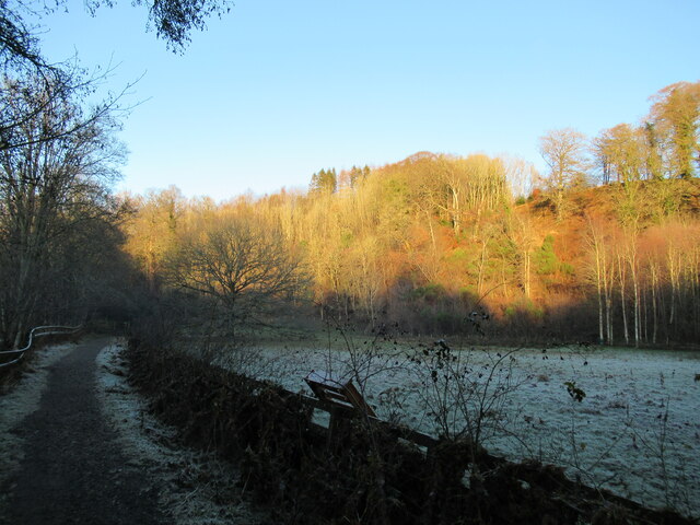
Several well-maintained trails wind through the forest, providing opportunities for leisurely strolls or more challenging hikes. These paths are suitable for all fitness levels, and there are designated areas for picnicking and relaxation. Additionally, the forest is equipped with informative signposts that educate visitors about the local ecosystem and highlight points of interest.
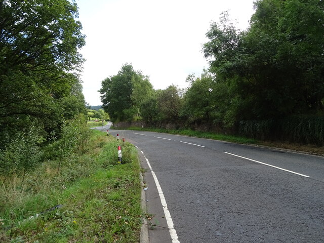
Burned Wood is easily accessible, with a car park available for visitors. The site is well-maintained by local authorities, ensuring a safe and enjoyable experience for all. It is advisable to bring appropriate clothing and footwear, as the terrain can be uneven and muddy in parts.
Overall, Burned Wood offers a delightful escape from the hustle and bustle of everyday life. With its scenic beauty, diverse wildlife, and well-marked trails, it is a must-visit destination for those seeking a peaceful and immersive woodland experience in Lanarkshire.
If you have any feedback on the listing, please let us know in the comments section below.
Burned Wood Images
Images are sourced within 2km of 55.695307/-3.8411961 or Grid Reference NS8446. Thanks to Geograph Open Source API. All images are credited.


Burned Wood is located at Grid Ref: NS8446 (Lat: 55.695307, Lng: -3.8411961)
Unitary Authority: South Lanarkshire
Police Authority: Lanarkshire
What 3 Words
///force.dart.reserving. Near Lanark, South Lanarkshire
Nearby Locations
Related Wikis

Clydesdale (district)
Clydesdale (pronounced ; Dail Chluaidh in Scottish Gaelic, pronounced [t̪ʰal̪ˠ ˈxl̪ˠuəj]) was a local government district in the Strathclyde region of...
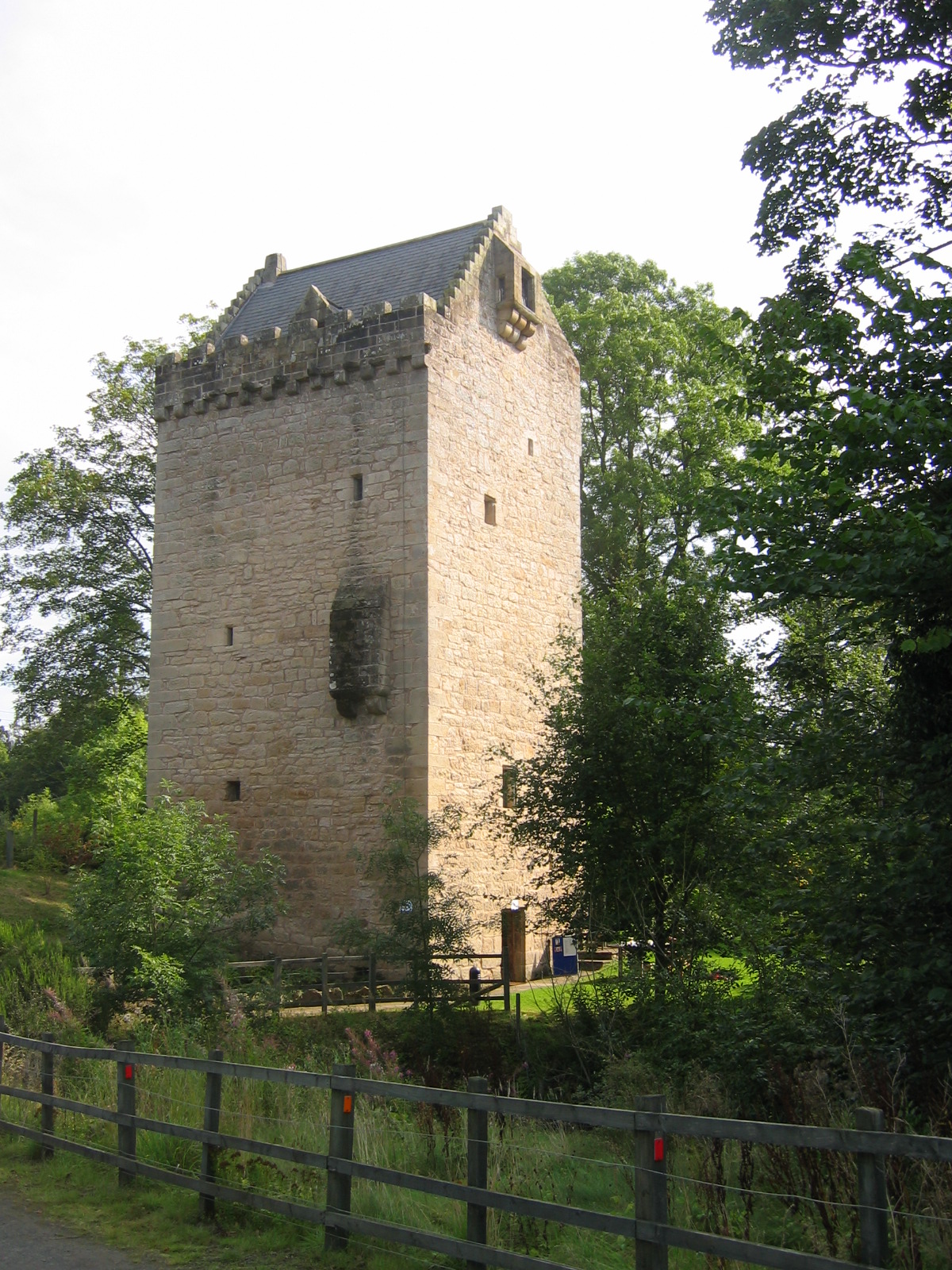
Tower of Hallbar
The Tower of Hallbar, also known as Hallbar Tower and Braidwood Castle, is a 16th-century tower house, located to the west of the River Clyde in South...

Lee Castle, South Lanarkshire
Lee Castle, also known as The Lee, is a castellated mansion in Auchenglen, a branch of the Clyde Valley in South Lanarkshire, Scotland. It is located 1...

Braidwood, South Lanarkshire
Braidwood is a small village near Carluke, in South Lanarkshire, Scotland. The medieval barony of Braidwood included the Tower of Hallbar.Braidwood House...
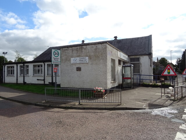
Crossford, South Lanarkshire
Crossford is a village in South Lanarkshire, Scotland. Crossford lies on the A72, alongside the River Clyde and the River Nethan, 4.5 miles (7.2 km) north...
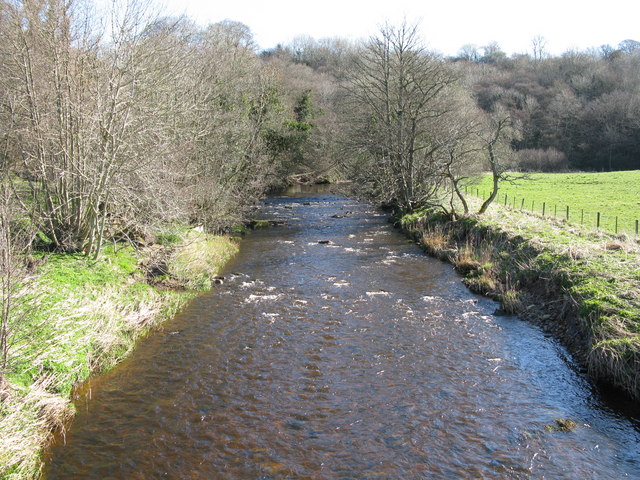
River Nethan
The River Nethan is a river which flows between Glenbuck in East Ayrshire and Crossford, South Lanarkshire where it feeds into the River Clyde, with the...
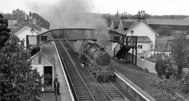
Braidwood railway station
Braidwood railway station served the village of Braidwood, South Lanarkshire, Scotland from 1848 to 1962 on the Caledonian main line. == History == The...
Stonebyres
Stonebyres was an estate and country house in Lanarkshire, Scotland, belonging to the Weir, or de Vere, family from earliest recorded history. The Weir...
Nearby Amenities
Located within 500m of 55.695307,-3.8411961Have you been to Burned Wood?
Leave your review of Burned Wood below (or comments, questions and feedback).