Glengenny Wood

Wood, Forest in Dumfriesshire

Scotland

Glengenny Wood

Track into Eliock Wood
Track into Eliock Wood Credit: Steven Brown

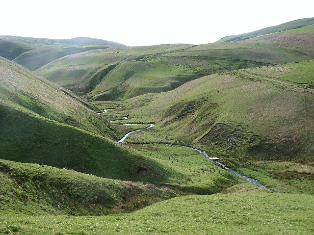
Glengenny Wood is a scenic forest located in Dumfriesshire, Scotland. Covering an area of approximately 120 hectares, this woodland is renowned for its natural beauty and diverse range of flora and fauna.

The forest is mainly composed of oak, birch, and Scots pine trees, creating a dense and captivating landscape. Walking through the wood, visitors can enjoy the tranquility and peacefulness that the area offers. The forest floor is covered with a variety of wildflowers, including bluebells and primroses, which add bursts of color to the scenery during the spring and summer months.

Glengenny Wood is a haven for wildlife, providing a habitat for numerous species. Birdwatchers will be delighted to spot various birds, such as woodpeckers, owls, and warblers. Red squirrels can also be seen darting through the branches, while deer occasionally graze in the clearings.

The wood is crisscrossed with a network of walking trails, allowing visitors to explore the area at their own pace. These paths range from easy strolls to more challenging hikes, catering to all levels of fitness and ability. Along the way, informative signposts provide interesting facts about the woodland's history and ecology.

Glengenny Wood is a popular destination for nature enthusiasts, photographers, and families seeking a peaceful retreat. Its natural charm and tranquility make it an ideal place to escape from the hustle and bustle of everyday life and immerse oneself in the beauty of nature.

If you have any feedback on the listing, please let us know in the comments section below.

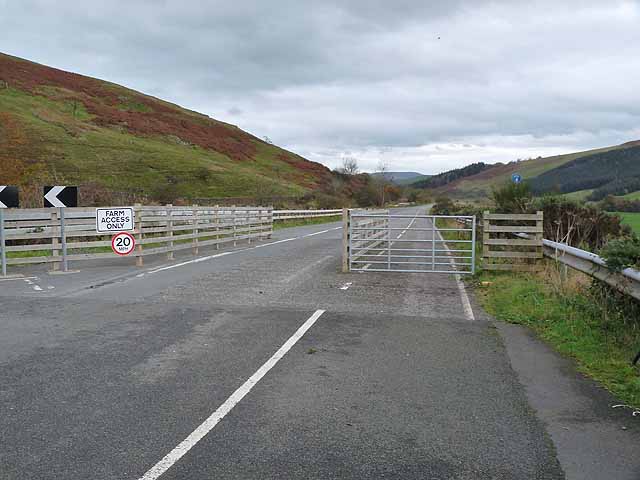
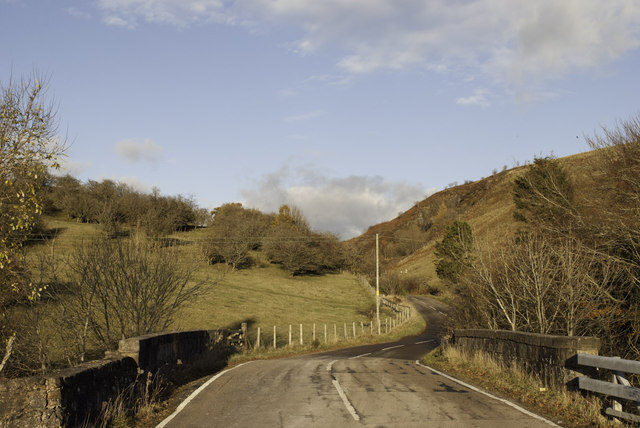
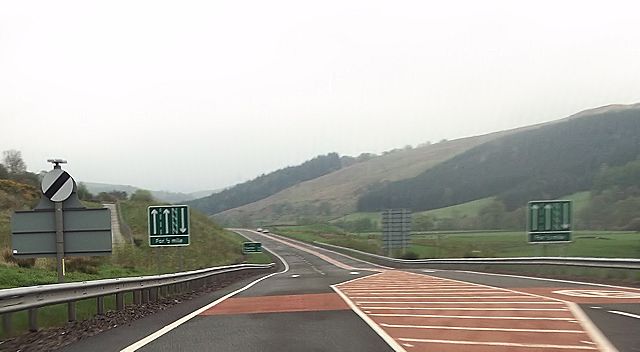
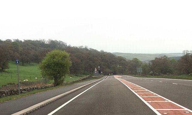
Glengenny Wood Images

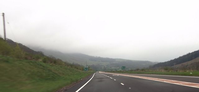
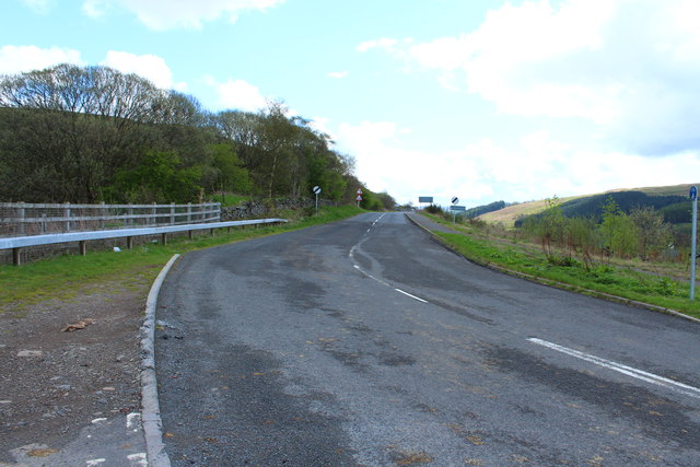
Images are sourced within 2km of 55.338627/-3.8531516 or Grid Reference NS8206. Thanks to Geograph Open Source API. All images are credited.

Track into Eliock Wood
Old milestone On the A76 nearly opposite the entrance to the Picnic Place is the 22 miles from Dumfries milestone.   It was leaning when photographed in 2012 but is leaning more now.   Perhaps knocked when the road sign was being installed.   22 on the top bevel.
Old milestone
On the A76 nearly opposite the entrance to the Picnic Place is the 22 miles from Dumfries milestone. It was leaning when photographed in 2012 but is leaning more now. Perhaps knocked when the road sign was being installed. 22 on the top bevel.
Old milestone A close-up of the milestone on the A76 towards Cumnock.   The back righthand corner has been broken off, probably many years ago.   There are remnants of white paint.
Old milestone
A close-up of the milestone on the A76 towards Cumnock. The back righthand corner has been broken off, probably many years ago. There are remnants of white paint.
Old road at Mennock A signpost nearby indicates a cycle route to Dumfries about 40 km away. But after following this length of the old road for no more than 2 km, cyclists are mercilessly tipped onto the fast and busy A76 at the south-eastern end of a short length of new road.
Old road at Mennock
A signpost nearby indicates a cycle route to Dumfries about 40 km away. But after following this length of the old road for no more than 2 km, cyclists are mercilessly tipped onto the fast and busy A76 at the south-eastern end of a short length of new road.
The start of the Mennock Pass
Public toilets, Glenairlie Bridge Turning off the A76, leading to a picnic spot close to the River Nith <a href="https://www.geograph.org.uk/photo/992019">NS8305 : Slunkford picnic area</a> .
Public toilets, Glenairlie Bridge
Turning off the A76, leading to a picnic spot close to the River Nith NS8305 : Slunkford picnic area .
West end of new A76 south of Mennock
Eastern end of new A76 road
River Nith at picnic site
Road down to picnic site
River Nith from picnic site shore
Double bends near Ardoch
New A76 road alongside Aylmerbank Wood Southbound half way along where the road priorities change
New A76 road alongside Aylmerbank Wood
Southbound half way along where the road priorities change
Glenairlie Bridge A view of Glenairlie Bridge from the slopes of Dalpeddar Hill showing the old toll cottage and the new bungalow. My Grandparents lived in the old cottage from 1928 to 1957 before moving into the new house where they lived until my 
Grandfather retired in 1977.
Glenairlie Bridge
A view of Glenairlie Bridge from the slopes of Dalpeddar Hill showing the old toll cottage and the new bungalow. My Grandparents lived in the old cottage from 1928 to 1957 before moving into the new house where they lived until my Grandfather retired in 1977.
River Nith Taken from Glenairlie Bridge
River Nith
Taken from Glenairlie Bridge
The B797 to Wanlockhead near Mennock
Road to Dumfries near Mennock
Public Toilets at Picnic Site near Glenairlie On the right is the River Nith.
Public Toilets at Picnic Site near Glenairlie
On the right is the River Nith.
Show me another place!

Glengenny Wood is located at Grid Ref: NS8206 (Lat: 55.338627, Lng: -3.8531516)

Unitary Authority: Dumfries and Galloway

Police Authority: Dumfries and Galloway

What 3 Words

///slyly.riddle.awaited. Near Sanquhar, Dumfries & Galloway

Nearby Locations

Glengenny Wood

Related Wikis

Mennock Lye Goods Depot

Mennock Lye Goods Depot or Mennock Siding was a railway freight facility located off the A76 in the hamlet of Mennock that lies circa two miles (three...

Mennock

Mennock is a small village or hamlet which lies 2 miles (3.2 km) south-east of Sanquhar on the A76, in Dumfriesshire, in the District Council Region of...

Kirkbride, Durisdeer

Kirkbride, previously Kilbride was an ancient parish close to the village of Enterkinfoot, the lands of which lay on both sides of the River Nith in the...

Enterkinfoot

Enterkinfoot is a small village or hamlet which lies 6 miles (9.7 km) north of Thornhill on the A76 on the route to Sanquhar, in Dumfriesshire, Durisdeer...

Nearby Amenities

Located within 500m of 55.338627,-3.8531516
Power: pole
Lat/Long: 55.3356679/-3.848365
Power: pole
Lat/Long: 55.3364726/-3.8486866
Power: pole
Lat/Long: 55.3372856/-3.8490023
Power: pole
Lat/Long: 55.3379623/-3.8492625
Power: pole
Lat/Long: 55.3402723/-3.8500871
Power: pole
Lat/Long: 55.3406422/-3.8515318
Power: pole
Lat/Long: 55.3410199/-3.8528789
Power: pole
Lat/Long: 55.3413959/-3.8542368
Power: pole
Lat/Long: 55.341715/-3.8553887
Power: pole
Lat/Long: 55.3420341/-3.8565596
Power: pole
Lat/Long: 55.339494/-3.8498826
Power: pole
Lat/Long: 55.3387264/-3.8495617
The data included in this document is from www.openstreetmap.org. The data is made available under ODbL.

Have you been to Glengenny Wood?

Leave your review of Glengenny Wood below (or comments, questions and feedback).