Carnock

Settlement in Fife

Scotland

Carnock

Stubble field at Carnock Moor
Stubble field at Carnock Moor Credit: M J Richardson

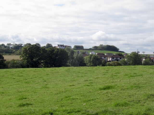
Carnock is a small village located in the region of Fife, Scotland. Situated about 6 miles northwest of Dunfermline, the village is nestled in the picturesque countryside with rolling hills and scenic landscapes. With a population of around 1,000 residents, Carnock has a close-knit community atmosphere.

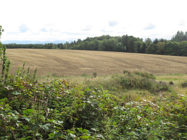
The village dates back to ancient times, and evidence of early settlements can be seen in the form of standing stones and burial mounds found in the surrounding area. Throughout history, Carnock was primarily an agricultural community, with farming playing a vital role in the economy.

One notable feature of Carnock is its charming parish church, dedicated to St. Mary. This historic church dates back to the 12th century and is a fine example of medieval architecture. It features a distinctive spire and beautiful stained glass windows.

Carnock offers a range of amenities for its residents, including a primary school, a local shop, and a village hall that serves as a hub for community events. The village also benefits from its proximity to larger towns, such as Dunfermline, which provide additional services and employment opportunities.

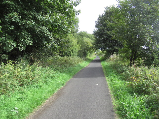
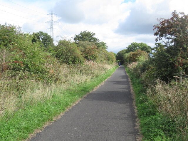
For outdoor enthusiasts, Carnock is surrounded by stunning countryside, making it an ideal location for walking, cycling, and exploring nature. Nearby attractions include Devilla Forest and Loch Leven, offering opportunities for outdoor activities and wildlife spotting.

Overall, Carnock is a peaceful and picturesque village, rich in history and natural beauty, providing a tranquil setting for its residents and visitors alike.

If you have any feedback on the listing, please let us know in the comments section below.
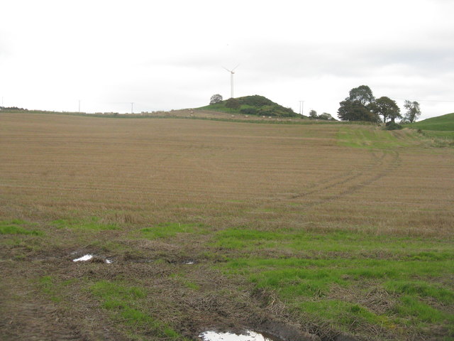
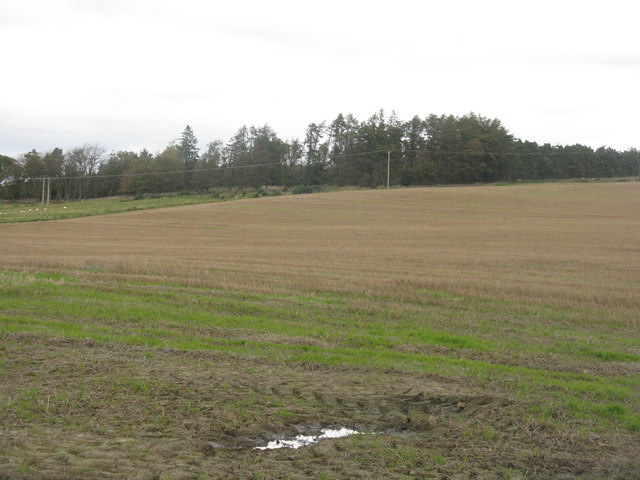
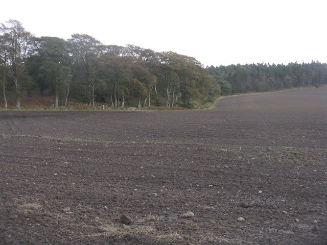
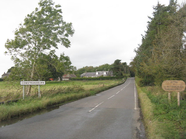
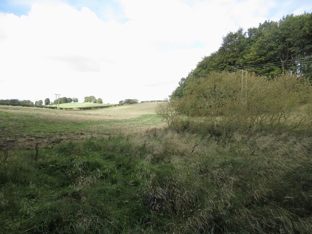
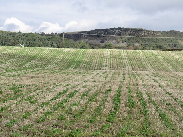
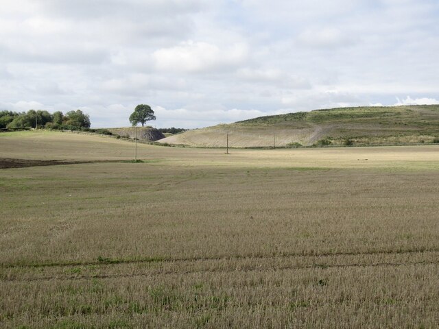
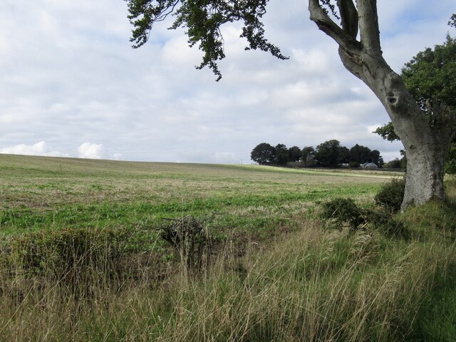
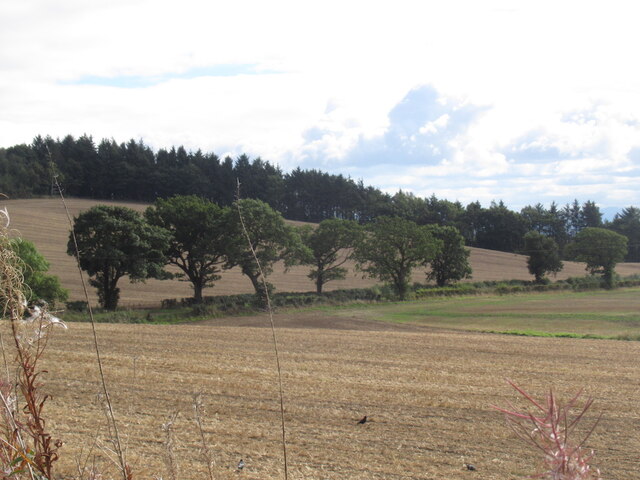
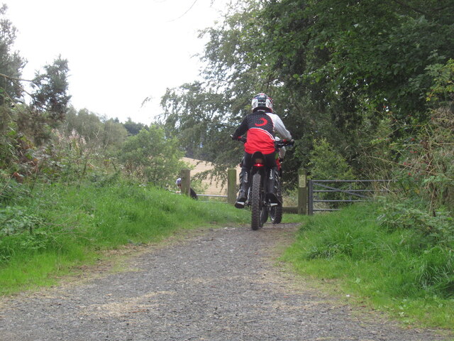
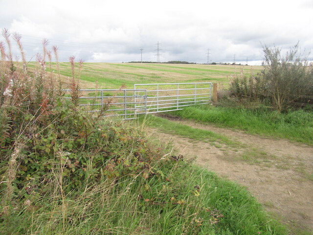
Carnock Images

Images are sourced within 2km of 56.083878/-3.538811 or Grid Reference NT0488. Thanks to Geograph Open Source API. All images are credited.

Stubble field at Carnock Moor
Carnock Moor Farmland rising gently to woodland on the higher ground of the moor.
Carnock Moor
Farmland rising gently to woodland on the higher ground of the moor.
Newly sown field at Cowstrandburn No spilt grain, so no clues as to whether it is winter barley or wheat. With woodland on Carnock Moor beyond.
Newly sown field at Cowstrandburn
No spilt grain, so no clues as to whether it is winter barley or wheat. With woodland on Carnock Moor beyond.
Entering Cowstrandburn from the south A big name for a small place - there must be story behind the name.
Entering Cowstrandburn from the south
A big name for a small place - there must be story behind the name.
Towards Loanhead Near Craigluscar.
Towards Loanhead
Near Craigluscar.
Stubble and Craigluscar Hills
Stubble Towards Bonnar Law, a former opencast site
Stubble
Towards Bonnar Law, a former opencast site
Garden and fields at Inzievar
Flats above a row of shops, Oakley
Stubble, East Luscar
Field near Carnock
Field near Carnock
Remnant of Oakley Colliery Mapped as a mill. Once there was a large area covered with colliery buildings and railway lines here.
Remnant of Oakley Colliery
Mapped as a mill. Once there was a large area covered with colliery buildings and railway lines here.
Stirling and Dunfermline Railway trackbed Now a popular rails to trails conversion and very useful cyclepath.
Stirling and Dunfermline Railway trackbed
Now a popular rails to trails conversion and very useful cyclepath.
Stubble near Oakley
Stubble near Oakley
Rails to trails by Carnock The Dunfermline to Alloa railway trackbed is a long established cycle path.
Rails to trails by Carnock
The Dunfermline to Alloa railway trackbed is a long established cycle path.
Stubble and Dean Plantation View from the old railway trackbed.
Stubble and Dean Plantation
View from the old railway trackbed.
Motor bikes, Dunfermline to Clackmannan cycle path A constant problem keeping a refuge like a cycle and walking path free from motorised traffic. The pests have had a resurgence due to cheaper electric bikes (proper motorbikes, not assisted pedalling).
The path was busy today with families and lots of young children.
Motor bikes, Dunfermline to Clackmannan cycle path
A constant problem keeping a refuge like a cycle and walking path free from motorised traffic. The pests have had a resurgence due to cheaper electric bikes (proper motorbikes, not assisted pedalling). The path was busy today with families and lots of young children.
Stubble, East Cairns Access from the railway trackbed.
Stubble, East Cairns
Access from the railway trackbed.
Show me another place!

Carnock is located at Grid Ref: NT0488 (Lat: 56.083878, Lng: -3.538811)

Unitary Authority: Fife

Police Authority: Fife

What 3 Words

///nosedive.flinch.surreal. Near Oakley, Fife

Nearby Locations

Carnock

Related Wikis

Carnock

Carnock (Scottish Gaelic: A' Chàrnaich) is a village and parish of Fife, Scotland, 4+1⁄4 miles (7 kilometres) west of Dunfermline. It is 1+1⁄4 miles (2...

Gowkhall

Gowkhall (for a period known as Balclune) is a hamlet in Fife Scotland, 3.6 miles (5.794 km) west of Dunfermline. The nearest village of size is Carnock...

Oakley (Fife) railway station

Oakley (Fife) railway station served the village of Oakley, Fife, Scotland from 1850 to 1986 on the Stirling and Dunfermline Railway. == History == The...

Oakley, Fife

Oakley is a village in Fife, Scotland located at the mutual border of Carnock and Culross parishes, Fife, 5+1⁄2 miles (9 kilometres) west of Dunfermline...

Nearby Amenities

Located within 500m of 56.083878,-3.538811
Crossing
Crossing: traffic_signals
Lat/Long: 56.0844851/-3.540348
Carnock
Place: village
Wikidata: Q3660486
Wikipedia: en:Carnock
Lat/Long: 56.0844245/-3.5401968
Crossing
Button Operated: yes
Crossing: traffic_signals
Tactile Paving: yes
Lat/Long: 56.0848539/-3.5406926
Restaurant
The Carnock Inn
Addr City: Carnock
Addr Housenumber: 8
Addr Postcode: KY12 9JQ
Addr Street: Main Street
Website: http://thecarnockinn.co.uk/
Lat/Long: 56.0840935/-3.5395489
Bus Stop
Bonhard Road
Bench: no
Bin: no
Bus: yes
Lit: no
Naptan AtcoCode: 6500D0641
Naptan NaptanCode: 34325472
Passenger Information Display: no
Public Transport: platform
Shelter: no
Tactile Paving: no
Lat/Long: 56.0856318/-3.5452891
Bus Stop
Bonhard Road
Bench: no
Bin: yes
Bus: yes
Lit: no
Passenger Information Display: no
Public Transport: platform
Shelter: no
Tactile Paving: no
Lat/Long: 56.0858618/-3.5442598
Bus Stop
Carnock Primary School
Bench: no
Bus: yes
Lit: no
Naptan AtcoCode: 6500D0638
Naptan NaptanCode: 34325459
Passenger Information Display: no
Public Transport: platform
Shelter: no
Lat/Long: 56.0847361/-3.5405539
Bus Stop
Carnock Primary School
Bench: no
Bus: yes
Lit: no
Passenger Information Display: no
Public Transport: platform
Shelter: no
Lat/Long: 56.0845601/-3.5404356
Traffic Signals
Traffic Signals: signal
Lat/Long: 56.0850821/-3.540863
Traffic Signals
Traffic Signals: signal
Lat/Long: 56.0843972/-3.5402367
Traffic Calming: cushion
Lat/Long: 56.0842726/-3.5402677
Generator Method: photovoltaic
Generator Output Electricity: yes
Generator Source: solar
Generator Type: solar_photovoltaic_panel
Power: generator
Lat/Long: 56.0850425/-3.5394232
Generator Method: photovoltaic
Generator Output Electricity: yes
Generator Source: solar
Generator Type: solar_photovoltaic_panel
Power: generator
Lat/Long: 56.0833036/-3.5377519
Generator Method: photovoltaic
Generator Output Electricity: yes
Generator Source: solar
Generator Type: solar_photovoltaic_panel
Power: generator
Lat/Long: 56.0837797/-3.5350157
Generator Method: photovoltaic
Generator Output Electricity: yes
Generator Source: solar
Generator Type: solar_photovoltaic_panel
Power: generator
Lat/Long: 56.0845288/-3.5382774
Post Box
Brand: Royal Mail
Brand Wikidata: Q638098
Brand Wikipedia: en:Royal Mail
Collection Times: Mo-Fr 16:00; Sa 12:00
Operator: Royal Mail
Operator Wikidata: Q638098
Post Box Type: pillar
Ref: KY12 112
Royal Cypher: scottish_crown
Lat/Long: 56.0841387/-3.5397634
Traffic Calming: choker
Lat/Long: 56.0848894/-3.5407202
The data included in this document is from www.openstreetmap.org. The data is made available under ODbL.

Have you been to Carnock?

Leave your review of Carnock below (or comments, questions and feedback).