Blaiket Plantation
Wood, Forest in Kirkcudbrightshire
Scotland
Blaiket Plantation

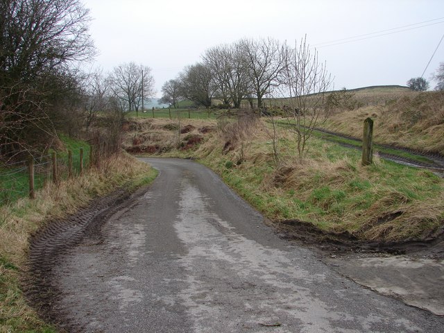
Blaiket Plantation is a sprawling woodland located in Kirkcudbrightshire, Scotland. Covering an extensive area, it is known for its lush greenery, diverse fauna, and tranquil atmosphere. The plantation is situated in a picturesque setting, nestled between rolling hills and meandering streams.
This woodland is predominantly made up of a variety of tree species, including oak, beech, and pine. The dense cover provides a haven for numerous wildlife species, making it a popular destination for nature enthusiasts and birdwatchers alike. Visitors can spot a range of bird species such as woodpeckers, owls, and various songbirds.
Blaiket Plantation offers a network of well-maintained walking trails, allowing visitors to explore the woodland at their own pace. These trails wind through the trees, providing opportunities to observe the flora and fauna up close. The plantation also features open spaces, perfect for picnics or leisurely strolls.
The plantation is easily accessible, with ample parking facilities and well-marked signposts leading to the entrance. It is open to the public throughout the year, allowing visitors to experience the changing seasons and the unique beauty they bring. Additionally, the plantation offers educational programs and guided tours, aimed at promoting environmental awareness and conservation.
Overall, Blaiket Plantation is a captivating woodland that offers a peaceful retreat for nature lovers. Its scenic beauty, diverse wildlife, and recreational opportunities make it a must-visit destination for those seeking a connection with nature in Kirkcudbrightshire.
If you have any feedback on the listing, please let us know in the comments section below.
Blaiket Plantation Images
Images are sourced within 2km of 54.987019/-3.8435537 or Grid Reference NX8267. Thanks to Geograph Open Source API. All images are credited.


Blaiket Plantation is located at Grid Ref: NX8267 (Lat: 54.987019, Lng: -3.8435537)
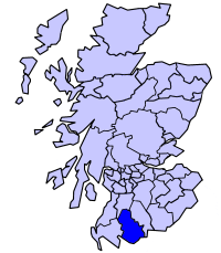
Unitary Authority: Dumfries and Galloway
Police Authority: Dumfries and Galloway
What 3 Words
///pictures.booklets.trainer. Near Dalbeattie, Dumfries & Galloway
Nearby Locations
Related Wikis

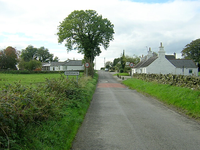
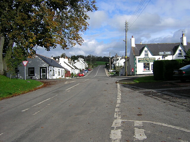
Haugh of Urr
Haugh of Urr (), is a village in the historical county of Kirkcudbrightshire in Dumfries and Galloway, Scotland. It is approximately 4 miles (6 kilometres...
Stewartry
Stewartry was a local government district from 1975 until 1996 within the Dumfries and Galloway region in south-west Scotland. Under the name Stewartry...
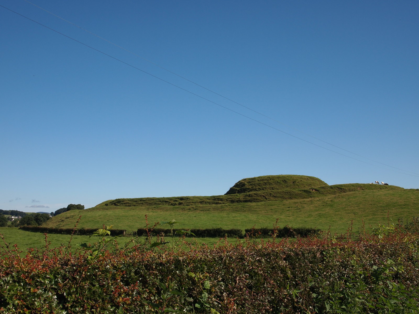
Motte of Urr
The Motte of Urr is the remains of a 12th-century motte-and-bailey castle located near the Haugh of Urr in Dumfries and Galloway, Scotland. == History... ==

Springholm
Springholm is a village in the historical county of Kirkcudbrightshire in Dumfries and Galloway, Scotland. It is located 14 miles (23 km) west of Dumfries...
Buittle railway station
Buittle railway station, also known as Buittle Halt, Buittle Mill and Buittle Mill Halt, served the civil parish of Buittle, Dumfries and Galloway, Scotland...

Kirkpatrick Durham
Kirkpatrick Durham (Scottish Gaelic: Cill Phàdraig) is a village and parish in the historical county of Kirkcudbrightshire, Dumfries and Galloway, south...
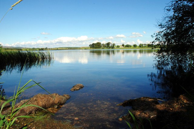
Milton Loch
Milton Loch is an alkaline freshwater loch located in Dumfries and Galloway, Scotland. In the loch and nearby are archaeological sites including three...

Kirkgunzeon
Kirkgunȝeon (Scottish Gaelic: Cill Fhionnain) is a village and civil parish in Dumfries and Galloway, south west Scotland. The village is 10.4 miles (16...
Nearby Amenities
Located within 500m of 54.987019,-3.8435537Have you been to Blaiket Plantation?
Leave your review of Blaiket Plantation below (or comments, questions and feedback).