Dorey Heugh Wood

Wood, Forest in Kirkcudbrightshire

Scotland

Dorey Heugh Wood

Shore with boulders Rounded glacial boulders, many of granite, are a feature of the upper shore at Lochenling.
Shore with boulders Credit: Jonathan Wilkins

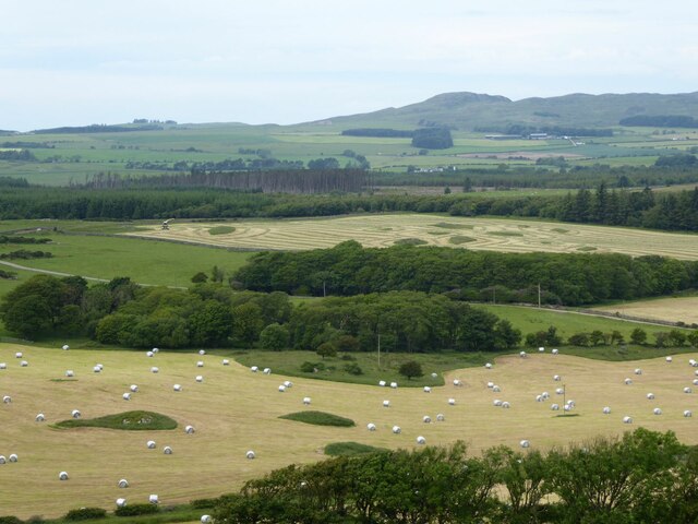
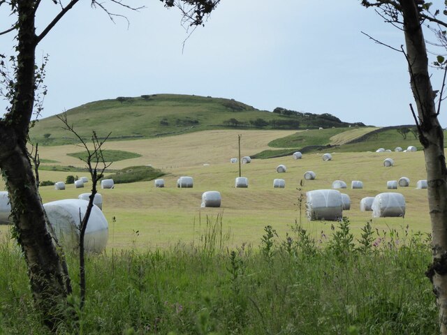
Dorey Heugh Wood, located in the county of Kirkcudbrightshire, is a picturesque forest renowned for its natural beauty and rich biodiversity. Spanning over a vast area, this wood is a haven for nature enthusiasts and hikers alike.

The forest is characterized by its dense canopy of trees, mainly consisting of oak, beech, and birch, which create a soothing ambiance and provide a habitat for a variety of wildlife. The woodland floor is covered with a lush carpet of ferns, wildflowers, and mosses, adding to the enchanting atmosphere.

Dorey Heugh Wood is crisscrossed by numerous well-maintained trails, making it easily accessible for visitors to explore and discover its hidden gems. Along these paths, visitors can encounter a plethora of wildlife, including red squirrels, deer, and a variety of bird species. The forest is also home to several rare and protected species, such as the pearl-bordered fritillary butterfly and the pine marten.

The wood offers breathtaking views from various vantage points, with glimpses of rolling hills, meandering streams, and distant valleys. Nature lovers can indulge in activities such as birdwatching, photography, or simply immersing themselves in the tranquil surroundings.

Dorey Heugh Wood is not only a natural treasure but also a significant part of the local heritage. It has been managed and protected by conservation organizations, ensuring the preservation of this unique ecosystem for future generations to enjoy.

If you have any feedback on the listing, please let us know in the comments section below.

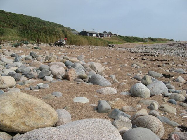
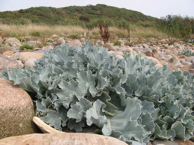
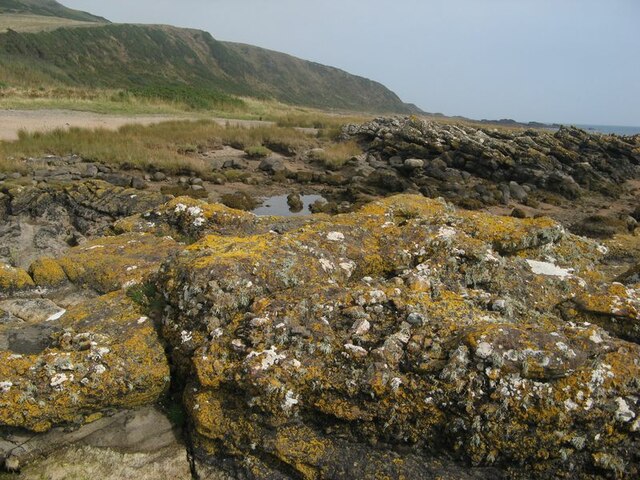
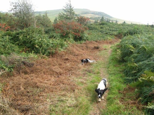
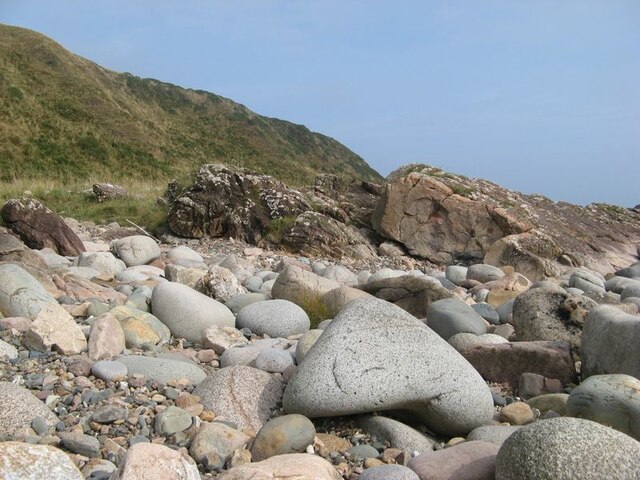
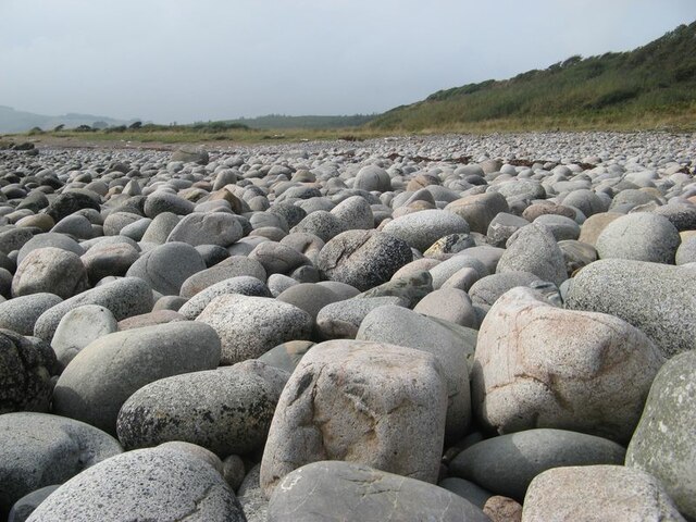
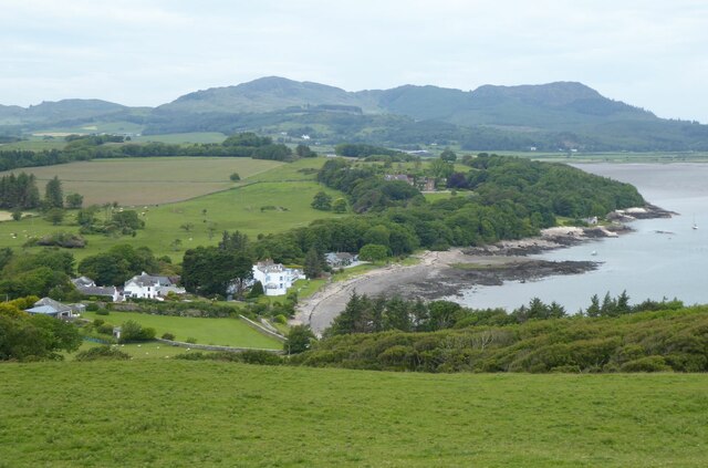
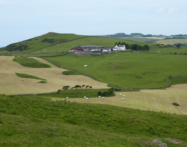
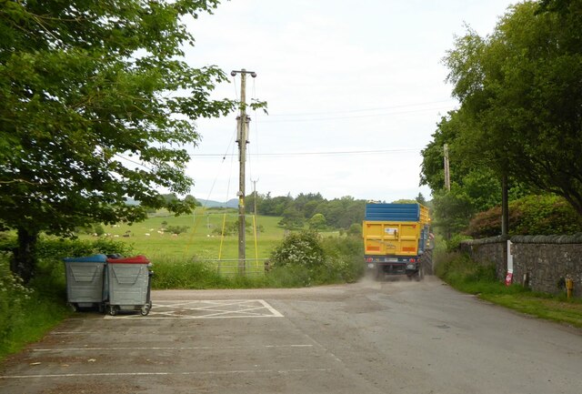
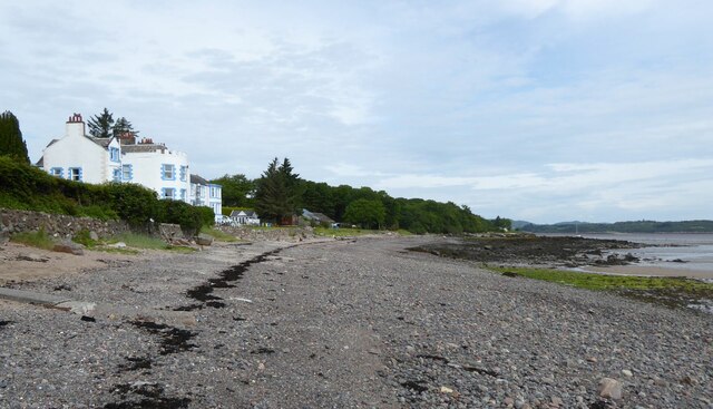
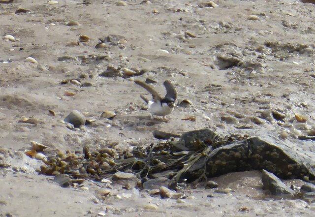
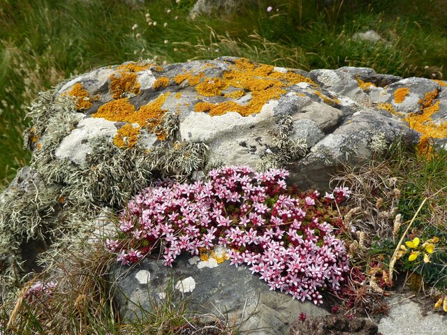
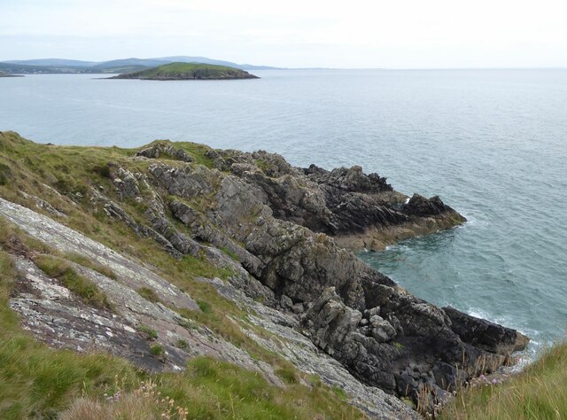
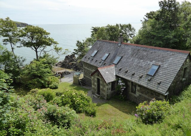
Dorey Heugh Wood Images

Images are sourced within 2km of 54.819953/-3.8381902 or Grid Reference NX8148. Thanks to Geograph Open Source API. All images are credited.

Shore with boulders Rounded glacial boulders, many of granite, are a feature of the upper shore at Lochenling.
Shore with boulders
Rounded glacial boulders, many of granite, are a feature of the upper shore at Lochenling.
Sea kale A fabulous specimen of sea kale, Crambe maritima, growing amid boulders above the tide line. Other seedlings were dotted about nearby on the edge of the raised beach.
Sea kale
A fabulous specimen of sea kale, Crambe maritima, growing amid boulders above the tide line. Other seedlings were dotted about nearby on the edge of the raised beach.
Rock outcrops Rock outcrops here belong to the Rascarrel member of the Fell Sandstone Formation which are of Carboniferous (Arundian to Holkerian) age. Rapid variation in the composition and grain size of these sandstones and conglomerates are due to very active faulting on the edge of the Solway Basin, but prominent among recognisable clasts are lumps of granitic rock from the weathering of the nearby intrusion. The camera location is a stack which is above the tide level and has a thick encrustation of lichens, mostly yellow Caloplaca.
Rock outcrops
Rock outcrops here belong to the Rascarrel member of the Fell Sandstone Formation which are of Carboniferous (Arundian to Holkerian) age. Rapid variation in the composition and grain size of these sandstones and conglomerates are due to very active faulting on the edge of the Solway Basin, but prominent among recognisable clasts are lumps of granitic rock from the weathering of the nearby intrusion. The camera location is a stack which is above the tide level and has a thick encrustation of lichens, mostly yellow Caloplaca.
Path to Loch Mackie Rampant bracken has taken hold following the felling of adjacent forestry, but isolated rowans have good colour with abundant berries.
Path to Loch Mackie
Rampant bracken has taken hold following the felling of adjacent forestry, but isolated rowans have good colour with abundant berries.
Rock outcrops Low rock outcrops on the edge of the raised beach comprise dipping beds of sandstone belonging to the Rascarrel Member of the Fell Sandstone Formation. In the background is the steep, seaward face of Airds Heugh.
Rock outcrops
Low rock outcrops on the edge of the raised beach comprise dipping beds of sandstone belonging to the Rascarrel Member of the Fell Sandstone Formation. In the background is the steep, seaward face of Airds Heugh.
Boulder shore The shore here comprises an extraordinary carpet of equal-sized boulders of glacial origin which are the residua of former deposits of till, or boulder clay. It is part of the discontinuous raised beach which is particularly prominent through the west of the southern Scottish coast. See also, for example <a href="https://www.geograph.org.uk/photo/3121405">NX1239 : Bouldery beach</a>.
Boulder shore
The shore here comprises an extraordinary carpet of equal-sized boulders of glacial origin which are the residua of former deposits of till, or boulder clay. It is part of the discontinuous raised beach which is particularly prominent through the west of the southern Scottish coast. See also, for example NX1239 : Bouldery beach.
Balcary Bay Hotel 'The Balcary Bay Country House Hotel which takes its name from the stunningly beautiful bay that overlooks the Solway with the Cumbrian mountains in the distance.  Each day brings a different colour spectrum to this wonderful vista.  Each night brings forth a romantic moon shimmering across the waters.' 
<span class="nowrap"><a title="https://www.balcary-bay-hotel.co.uk/" rel="nofollow ugc noopener" href="https://www.balcary-bay-hotel.co.uk/">Link</a><img style="margin-left:2px;" alt="External link" title="External link - shift click to open in new window" src="https://s1.geograph.org.uk/img/external.png" width="10" height="10"/></span>
Viewed from the top of Balcary Hill.
Balcary Bay Hotel
'The Balcary Bay Country House Hotel which takes its name from the stunningly beautiful bay that overlooks the Solway with the Cumbrian mountains in the distance. Each day brings a different colour spectrum to this wonderful vista. Each night brings forth a romantic moon shimmering across the waters.' LinkExternal link Viewed from the top of Balcary Hill.
Newly cut grass fields Some grass has been baled.
Airds Farm under Big Airds Hill in the background.
Newly cut grass fields
Some grass has been baled. Airds Farm under Big Airds Hill in the background.
No they are not sheep! The grass in the foreground has been cut and put into bales covered with white plastic. In the background, looking like a grass maze, the grass has been cut and the machine to gather it and blow it into trailers waits for a trailer.
No they are not sheep!
The grass in the foreground has been cut and put into bales covered with white plastic. In the background, looking like a grass maze, the grass has been cut and the machine to gather it and blow it into trailers waits for a trailer.
Rocks on the foreshore of Auchencairn Bay The various post on the beach are the remnants of salmon fishing nets.
How it might have looked. <a title="https://www.geograph.org.uk/photo/2242476" href="https://www.geograph.org.uk/photo/2242476">Link</a> and 
<a title="https://www.geograph.org.uk/photo/2242518" href="https://www.geograph.org.uk/photo/2242518">Link</a>
Hestan Island in the bay.
Rocks on the foreshore of Auchencairn Bay
The various post on the beach are the remnants of salmon fishing nets. How it might have looked. Link and Link Hestan Island in the bay.
Balcary Tower 'Balcary Tower was built around 1860 by Colonel Johnstone, the Laird of Auchencairn House, it is believed for his French governess and mistress. The Tower was extended in the 1960s and again in the 1970s and mostly recently was entirely professionally refurbished in 2012.'
<span class="nowrap"><a title="https://www.galbraithgroup.com/property/cad200033-balcary-tower-auchencairn-castle-douglas-dumfries-and-galloway-south-west-scotland-dg7-1qz" rel="nofollow ugc noopener" href="https://www.galbraithgroup.com/property/cad200033-balcary-tower-auchencairn-castle-douglas-dumfries-and-galloway-south-west-scotland-dg7-1qz">Link</a><img style="margin-left:2px;" alt="External link" title="External link - shift click to open in new window" src="https://s1.geograph.org.uk/img/external.png" width="10" height="10"/></span>
<span class="nowrap"><a title="https://canmore.org.uk/site/64862/the-tower?display=collection&GROUPCATEGORY=5" rel="nofollow ugc noopener" href="https://canmore.org.uk/site/64862/the-tower?display=collection&GROUPCATEGORY=5">Link</a><img style="margin-left:2px;" alt="External link" title="External link - shift click to open in new window" src="https://s1.geograph.org.uk/img/external.png" width="10" height="10"/></span>
Balcary Tower
'Balcary Tower was built around 1860 by Colonel Johnstone, the Laird of Auchencairn House, it is believed for his French governess and mistress. The Tower was extended in the 1960s and again in the 1970s and mostly recently was entirely professionally refurbished in 2012.' LinkExternal link LinkExternal link
View from the carpark Over the white plastic wrapped bales of grass.
View from the carpark
Over the white plastic wrapped bales of grass.
Agricultural traffic hazard This is one of the large tractors with a trailer load of freshly cut grass. They were moving in a convoy of four down to the fields to collect the loads and then back up the narrow road with few passing places.
Agricultural traffic hazard
This is one of the large tractors with a trailer load of freshly cut grass. They were moving in a convoy of four down to the fields to collect the loads and then back up the narrow road with few passing places.
Balcary Bay Hotel With its own beach on Balcary Bay.
<span class="nowrap"><a title="https://www.balcary-bay-hotel.co.uk/" rel="nofollow ugc noopener" href="https://www.balcary-bay-hotel.co.uk/">Link</a><img style="margin-left:2px;" alt="External link" title="External link - shift click to open in new window" src="https://s1.geograph.org.uk/img/external.png" width="10" height="10"/></span>
Balcary Bay Hotel
With its own beach on Balcary Bay. LinkExternal link
House Martin Collecting nesting materials from the beach in front of Balcary House Hotel.
House Martin
Collecting nesting materials from the beach in front of Balcary House Hotel.
On the rocks at Balcary Point English stonecrop, Sedum anglicum and yellow lichen Xanthoria parietina make a colourful addition to the rocks at the point.
On the rocks at Balcary Point
English stonecrop, Sedum anglicum and yellow lichen Xanthoria parietina make a colourful addition to the rocks at the point.
Balcary Point looking north east With Hestan Island at the mouth of Auchencairn Bay.
Balcary Point looking north east
With Hestan Island at the mouth of Auchencairn Bay.
The Boat House At Balcary Point.
The Boat House
At Balcary Point.
Show me another place!

Dorey Heugh Wood is located at Grid Ref: NX8148 (Lat: 54.819953, Lng: -3.8381902)

Unitary Authority: Dumfries and Galloway

Police Authority: Dumfries and Galloway

What 3 Words

///pancake.swerving.earlobes. Near Dalbeattie, Dumfries & Galloway

Related Wikis

Urr Water

Urr Water or River Urr (arc. River Orr) is a river in which flows through the counties of Dumfriesshire and Kirkcudbrightshire in southwest Scotland....
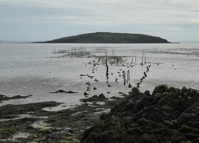
Hestan Island

Hestan Island is a small coastal island at the southern foot of the River Urr estuary in the Solway Firth, in the historical county of Kirkcudbrightshire...

Auchencairn

Auchencairn ([ɔxən'kʰɛ:(r)n]) is a village in the historical county of Kirkcudbrightshire in the Dumfries and Galloway region of Scotland. It is located...
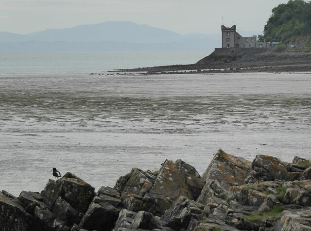
Orchardton Castle

Orchardton Castle overlooks the Solway Coast. Built in the 1880s, this is a Grade B listed property formerly known as Orchardton House. Built around a...

Rough Island, Scotland

"Rough Island" is also used as a translation of "Garbh Eilean", a common Scottish name for islandsRough Island is a 20-acre (8 ha) uninhabited tidal island...

Rough Firth

Rough Firth is an inlet on the northern coast of the Solway Firth in the Stewartry area of Dumfries and Galloway, Scotland. The firth lies between Almorness...

Wickerman Festival

The Wickerman Festival was an annual music festival held near Auchencairn in Dumfries and Galloway, Scotland. Dubbed "Scotland's Alternative Music festival...

Rockcliffe, Dumfries and Galloway

Rockcliffe is a small, coastal village in Kirkcudbrightshire, Dumfries and Galloway in Scotland, with a view of Rough Island, Hestan Island, the Solway...

Nearby Amenities

Located within 500m of 54.819953,-3.8381902
Source: PGS
Lat/Long: 54.8156117/-3.8394174
Source: PGS
Lat/Long: 54.8154936/-3.8386552
Source: PGS
Lat/Long: 54.8157731/-3.838013
Source: PGS
Lat/Long: 54.8159051/-3.8377867
Source: PGS
Lat/Long: 54.8161344/-3.8377727
Source: PGS
Lat/Long: 54.816275/-3.8373243
Source: PGS
Lat/Long: 54.8164787/-3.8368683
Source: PGS
Lat/Long: 54.8163162/-3.8366306
Source: PGS
Lat/Long: 54.8163993/-3.8362777
Source: PGS
Lat/Long: 54.8164518/-3.8359349
Source: PGS
Lat/Long: 54.8166197/-3.8355637
Source: PGS
Lat/Long: 54.8170302/-3.835275
Source: PGS
Lat/Long: 54.8181064/-3.8344698
Source: PGS
Lat/Long: 54.8187366/-3.8344731
Source: PGS
Lat/Long: 54.8190163/-3.8341136
Source: PGS
Lat/Long: 54.8191975/-3.8334265
Source: PGS
Lat/Long: 54.819862/-3.8325644
Source: PGS
Lat/Long: 54.8198994/-3.8321465
Source: PGS
Lat/Long: 54.8201602/-3.8308816
Source: PGS
Lat/Long: 54.8203308/-3.8307528
Source: PGS
Lat/Long: 54.8206127/-3.8305082
Barrier: kissing_gate
Lat/Long: 54.8202861/-3.8331554
Barrier: kissing_gate
Lat/Long: 54.8203342/-3.8332339
Little Airds Hill
Natural: peak
Lat/Long: 54.8193361/-3.8370831
Bench
Lat/Long: 54.8181322/-3.8352723
Bench
Lat/Long: 54.8194365/-3.8350389
Lot's Wife
Place: locality
Lat/Long: 54.8202481/-3.8306725
Door of the Heugh
Place: locality
Lat/Long: 54.8185674/-3.8339448
Airds Point
Place: locality
Lat/Long: 54.8168563/-3.8350745
Power: pole
Lat/Long: 54.8211586/-3.8452813
Power: pole
Lat/Long: 54.8214854/-3.8432249
Power: pole
Lat/Long: 54.8217779/-3.8414424
Power: pole
Lat/Long: 54.8228403/-3.8412449
Power: pole
Lat/Long: 54.8215649/-3.8414637
Power: pole
Lat/Long: 54.821243/-3.8415232
Power: pole
Lat/Long: 54.8210068/-3.8415614
The data included in this document is from www.openstreetmap.org. The data is made available under ODbL.

Have you been to Dorey Heugh Wood?

Leave your review of Dorey Heugh Wood below (or comments, questions and feedback).