Black Wood

Wood, Forest in Kirkcudbrightshire

Scotland

Black Wood

Auchenreoch Loch Auchenreoch Loch is a Freshwater loch situated next to the main A75 trunk road midway between Dumfries and Castle Douglas.
Auchenreoch Loch Credit: David Dixon

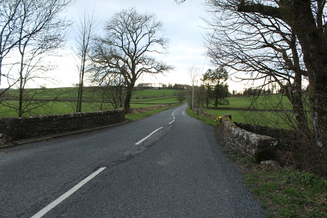
Black Wood is a dense forest located in the historical county of Kirkcudbrightshire, Scotland. Covering an expansive area, the woodland is renowned for its picturesque scenery and diverse flora and fauna. The forest is situated near the town of Gatehouse of Fleet and is easily accessible to visitors.

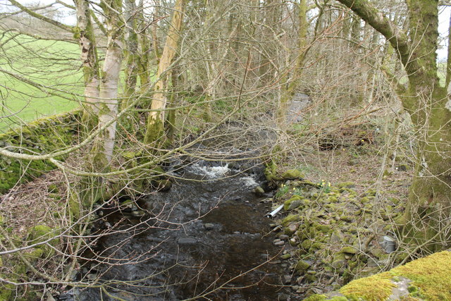
The name "Black Wood" originates from the dark, rich hue of the trees that dominate the landscape. The woodland primarily consists of native deciduous trees such as oak, birch, and beech, providing a vibrant display of colors during autumn. The dense canopy of the trees creates a shaded and cool environment, even during the height of summer.

Within Black Wood, there are numerous walking trails and paths that allow visitors to explore the forest's natural beauty. The trails vary in difficulty and length, catering to both casual strollers and avid hikers. Along these paths, one can encounter a variety of wildlife, including deer, squirrels, and a multitude of bird species. The forest is particularly popular among birdwatchers, as it serves as a habitat for several rare and migratory bird species.

In addition to its natural attractions, Black Wood also has historical significance. The forest was once used as a hunting ground by Scottish nobility, and remnants of stone structures can still be found within its boundaries. These ruins offer glimpses into the area's rich history and are often visited by history enthusiasts.

Overall, Black Wood in Kirkcudbrightshire is a captivating destination for nature lovers, offering a tranquil retreat from the bustling city life and a chance to immerse oneself in the beauty of Scotland's woodlands.

If you have any feedback on the listing, please let us know in the comments section below.
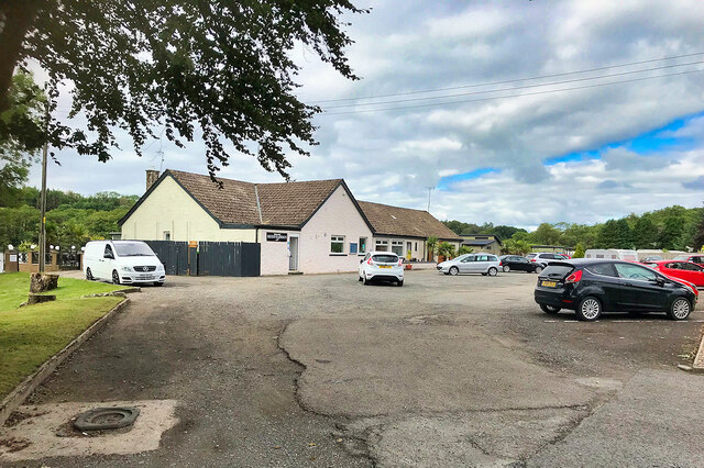
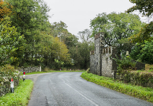
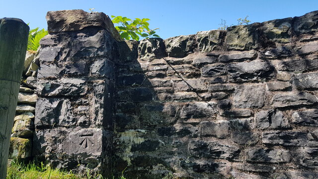
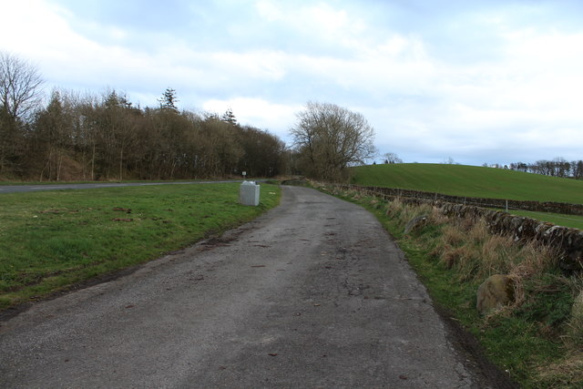
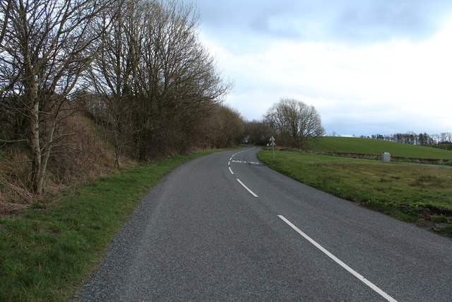
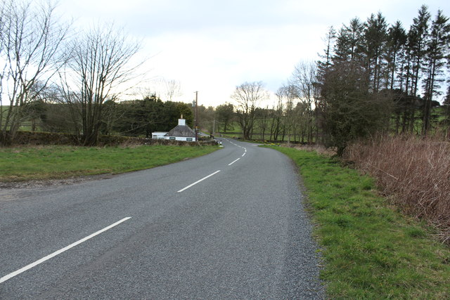
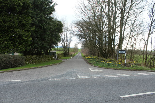
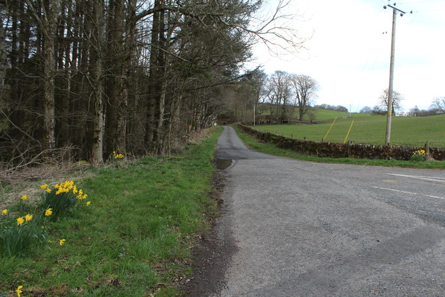
Black Wood Images

Images are sourced within 2km of 55.030548/-3.8611679 or Grid Reference NX8172. Thanks to Geograph Open Source API. All images are credited.

Auchenreoch Loch Auchenreoch Loch is a Freshwater loch situated next to the main A75 trunk road midway between Dumfries and Castle Douglas.
Auchenreoch Loch
Auchenreoch Loch is a Freshwater loch situated next to the main A75 trunk road midway between Dumfries and Castle Douglas.
Auchenreoch Loch Auchenreoch Loch is a Freshwater loch situated next to the main A75 trunk road midway between Dumfries and Castle Douglas.
Auchenreoch Loch
Auchenreoch Loch is a Freshwater loch situated next to the main A75 trunk road midway between Dumfries and Castle Douglas.
Inn on the Loch The Inn on the Loch is a hotel and restaurant, situated on the banks of Auchenreoch Loch, adjacent to the A75.
Inn on the Loch
The Inn on the Loch is a hotel and restaurant, situated on the banks of Auchenreoch Loch, adjacent to the A75.
Curious walling close to Brooklands The high wall to the right of the road (A712), west of Crocketford is unusual. It has three sections, all crenellated with the centre one being taller than the others. The part nearest to the camera has a small, now roofless building incorporated into the rear. The structure stands opposite to the entrance to the property at Brooklands.
A possible folly?
Curious walling close to Brooklands
The high wall to the right of the road (A712), west of Crocketford is unusual. It has three sections, all crenellated with the centre one being taller than the others. The part nearest to the camera has a small, now roofless building incorporated into the rear. The structure stands opposite to the entrance to the property at Brooklands. A possible folly?
Lairdlaugh Bridge Bench Mark The stone bridge over Brooklands Burn showing the Eastern side with Bench Mark
Lairdlaugh Bridge Bench Mark
The stone bridge over Brooklands Burn showing the Eastern side with Bench Mark
Auchenreoch Loch Viewed from a long lay-by on the A75.
Auchenreoch Loch
Viewed from a long lay-by on the A75.
Lay-by at Boglebridge Cottage
Lay-by at Boglebridge Cottage With view of Cottage.
Lay-by at Boglebridge Cottage
With view of Cottage.
A712 to Crocketford
A712 to Crocketford
A712 to Corsock Passing Boglebridge Cottage.
A712 to Corsock
Passing Boglebridge Cottage.
Road to Kirkpatrick Durham
Road to Crocketford at Boglebridge Cottage
Road up Brooklands Glen
Road to Corsock at Brooklands Bridge
Brooklands Burn
Brooklands Burn
Brooklands Burn
Brooklands Burn
Brooklands or Bogle Bridge
Farmland at Brooklands Glen
Show me another place!

Black Wood is located at Grid Ref: NX8172 (Lat: 55.030548, Lng: -3.8611679)

Unitary Authority: Dumfries and Galloway

Police Authority: Dumfries and Galloway

What 3 Words

///meatball.landlady.truckload. Near Castle Douglas, Dumfries & Galloway

Related Wikis

Crocketford

Crocketford (/ˈkrɒkɪtfɔːd/, also frequently /ˈkrɒkɪtfəd/) also known as Ninemile Bar (Scottish Gaelic: Ath Crogaid), as it is approximately equidistant...

Springholm

Springholm is a village in the historical county of Kirkcudbrightshire in Dumfries and Galloway, Scotland. It is located 14 miles (23 km) west of Dumfries...
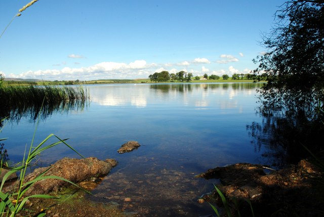
Milton Loch

Milton Loch is an alkaline freshwater loch located in Dumfries and Galloway, Scotland. In the loch and nearby are archaeological sites including three...

Kirkpatrick Durham

Kirkpatrick Durham (Scottish Gaelic: Cill Phàdraig) is a village and parish in the historical county of Kirkcudbrightshire, Dumfries and Galloway, south...

Kilquhanity School

Kilquhanity School was one of several free schools to have been established in the United Kingdom in the twentieth century. Others include Sands School...

Glenlair House

Glenlair, near the village of Corsock in the historical county of Kirkcudbrightshire, in Dumfries and Galloway, was the home of the physicist James Clerk...

Haugh of Urr

Haugh of Urr (), is a village in the historical county of Kirkcudbrightshire in Dumfries and Galloway, Scotland. It is approximately 4 miles (6 kilometres...

Glenkiln Sculpture Park

Glenkiln Sculpture Park was a sculpture landscape in the historic county of Kirkcudbrightshire in Dumfries and Galloway, south-west Scotland. After one...

Nearby Amenities

Located within 500m of 55.030548,-3.8611679
Power: pole
Lat/Long: 55.0301312/-3.8684225
Power: pole
Lat/Long: 55.0305294/-3.8670098
Power: pole
Lat/Long: 55.0306025/-3.8659497
Power: pole
Lat/Long: 55.0306646/-3.8649236
Power: pole
Lat/Long: 55.0307327/-3.8639909
Power: pole
Lat/Long: 55.0311589/-3.862831
Power: pole
Lat/Long: 55.0315851/-3.8616455
Power: pole
Lat/Long: 55.0320098/-3.8604855
Power: pole
Lat/Long: 55.0324142/-3.8593808
Power: pole
Lat/Long: 55.032799/-3.8583314
Power: pole
Lat/Long: 55.0331569/-3.8573584
Power: pole
Lat/Long: 55.0335435/-3.8562853
Power: pole
Lat/Long: 55.0311613/-3.8599927
Power: pole
Lat/Long: 55.0305306/-3.8591854
Power: pole
Lat/Long: 55.030141/-3.8586437
Power: pole
Lat/Long: 55.0296832/-3.8579702
Power: pole
Lat/Long: 55.0341602/-3.8571268
Power: pole
Lat/Long: 55.0339142/-3.8576792
Power: pole
Lat/Long: 55.0336038/-3.8583866
Power: pole
Lat/Long: 55.0310615/-3.8681315
The data included in this document is from www.openstreetmap.org. The data is made available under ODbL.

Have you been to Black Wood?

Leave your review of Black Wood below (or comments, questions and feedback).