Bannockburn Wood
Wood, Forest in Stirlingshire
Scotland
Bannockburn Wood
The requested URL returned error: 429 Too Many Requests
If you have any feedback on the listing, please let us know in the comments section below.
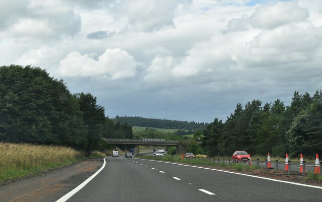
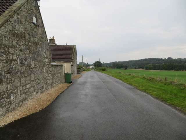
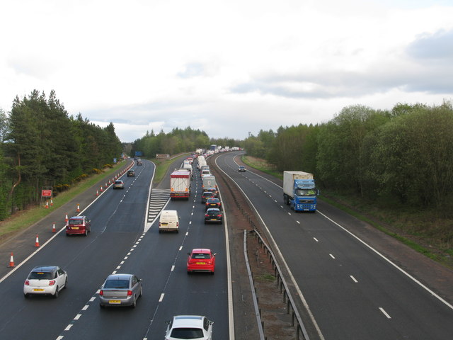
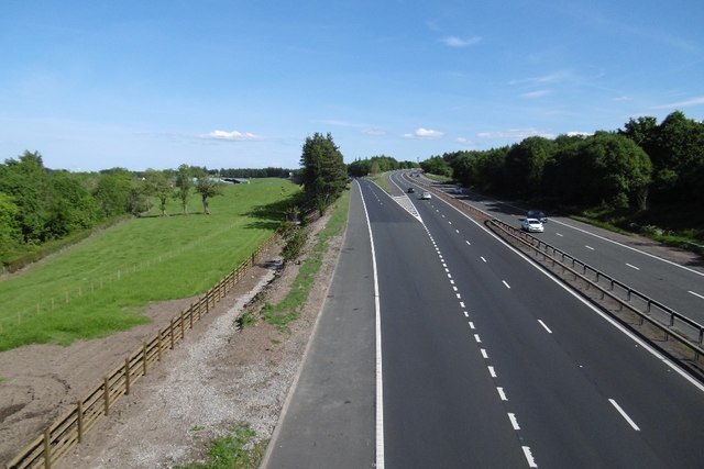
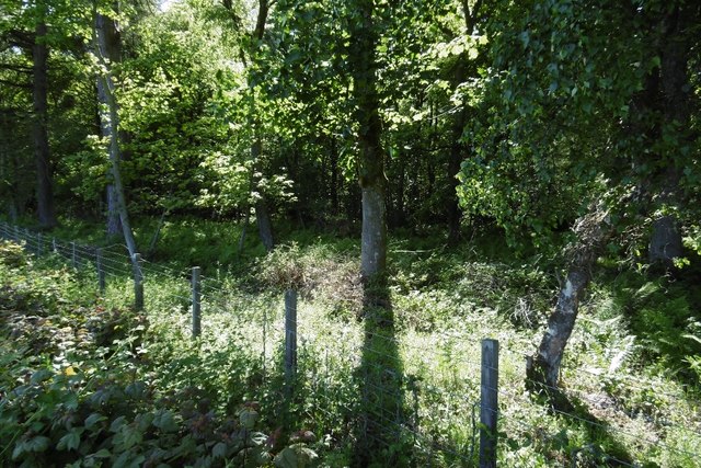
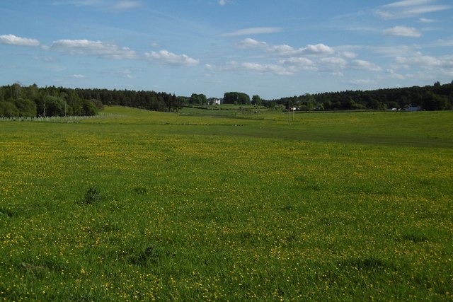
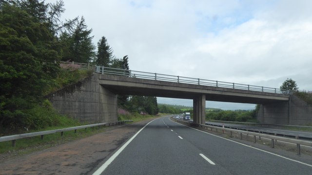
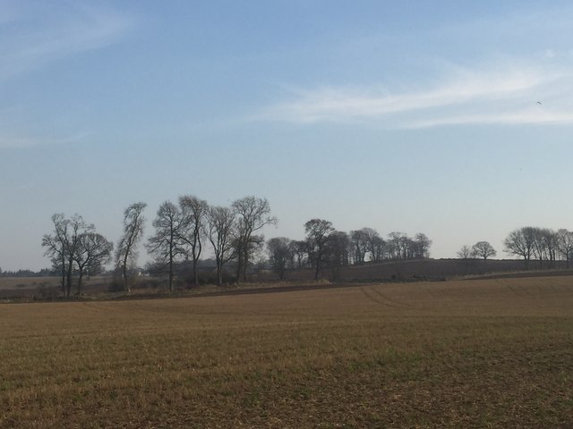
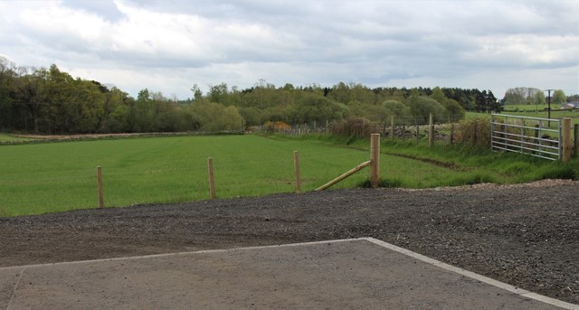
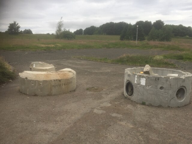
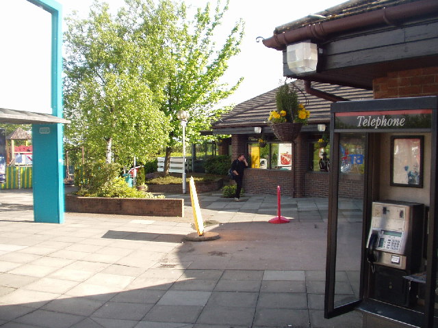
Bannockburn Wood Images
Images are sourced within 2km of 56.074933/-3.9116603 or Grid Reference NS8188. Thanks to Geograph Open Source API. All images are credited.


Bannockburn Wood is located at Grid Ref: NS8188 (Lat: 56.074933, Lng: -3.9116603)
Unitary Authority: Stirling
Police Authority: Forth Valley
What 3 Words
///mediate.poorly.yard. Near Bannockburn, Stirling
Nearby Locations
Related Wikis
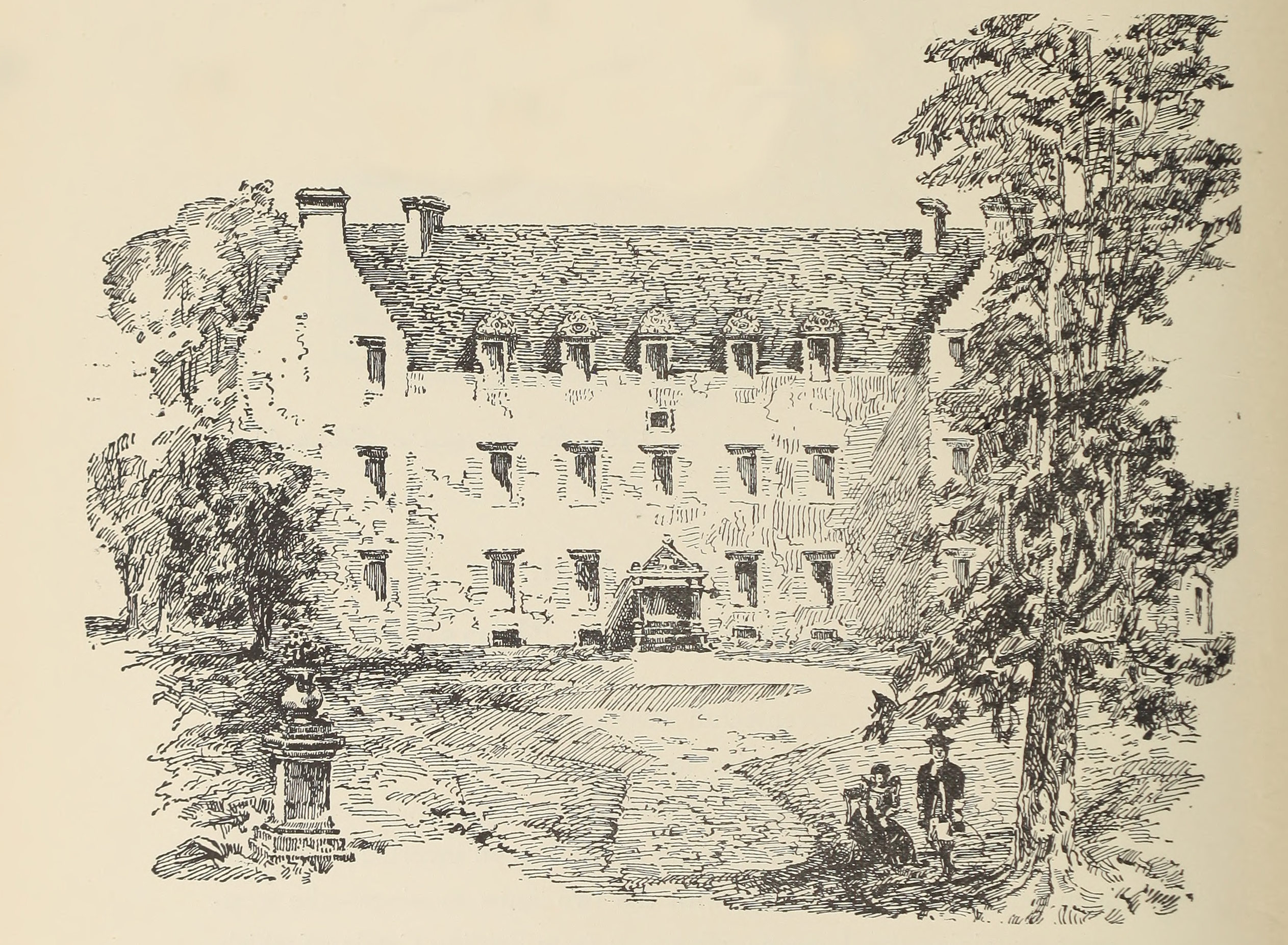
Bannockburn House
Bannockburn House is a property of historical significance in the town of Bannockburn. It is a Category A listed building. == History == Bannockburn House...
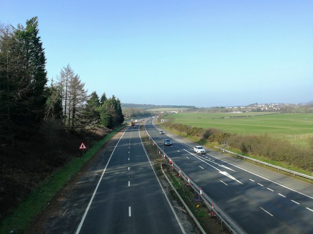
Stirling services
Stirling services is a motorway service station near Stirling, Scotland. The service station is located where the M9 motorway and M80 motorway join. It...

Battle of Sauchieburn
The Battle of Sauchieburn was fought on 11 June 1488, at the side of Sauchie Burn, a stream about two miles (3 km) south of Stirling, Scotland. The battle...

Bannockburn
Bannockburn (Scottish Gaelic Allt a' Bhonnaich) is an area immediately south of the centre of Stirling in Scotland. It is part of the City of Stirling...
Nearby Amenities
Located within 500m of 56.074933,-3.9116603Have you been to Bannockburn Wood?
Leave your review of Bannockburn Wood below (or comments, questions and feedback).