Culmaily Plantation
Wood, Forest in Sutherland
Scotland
Culmaily Plantation

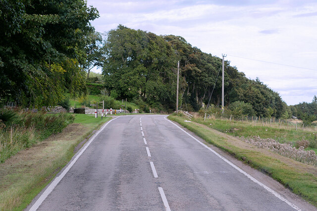
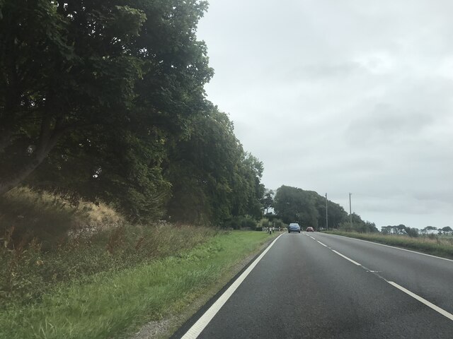
Culmaily Plantation is a picturesque woodland located in the region of Sutherland, Scotland. Spanning over a vast area, the plantation is predominantly composed of various species of trees, creating a thriving forest ecosystem. It is nestled amidst the stunning Highland landscape and is a popular destination for nature enthusiasts and hikers.
The plantation boasts a rich variety of tree species, including native Scottish pine, birch, oak, and spruce trees. These trees not only provide a scenic backdrop but also offer important habitats for a diverse range of wildlife. Visitors can often spot numerous bird species, such as woodpeckers and owls, as well as small mammals like red squirrels and deer.
The well-maintained trails winding through the plantation offer visitors the opportunity to explore the woodland at their own pace. These paths allow for leisurely strolls or more challenging hikes, catering to different fitness levels and preferences. Along the way, walkers can admire the beauty of the surrounding landscape and revel in the peaceful ambiance of the forest.
Culmaily Plantation is also notable for its conservation efforts and sustainable management practices. The plantation is carefully monitored to ensure the preservation of its natural beauty and the protection of its wildlife. This dedication to conservation makes it an ideal location for education and research purposes.
Overall, Culmaily Plantation is a haven for nature lovers, providing a serene environment for relaxation and an opportunity to appreciate the beauty of Scotland's woodlands. Its diverse ecosystem and commitment to conservation make it a must-visit destination for anyone seeking a true Highland experience.
If you have any feedback on the listing, please let us know in the comments section below.
Culmaily Plantation Images
Images are sourced within 2km of 57.971852/-4.0138843 or Grid Reference NH8099. Thanks to Geograph Open Source API. All images are credited.


Culmaily Plantation is located at Grid Ref: NH8099 (Lat: 57.971852, Lng: -4.0138843)
Unitary Authority: Highland
Police Authority: Highlands and Islands
What 3 Words
///bulldozer.cobras.idea. Near Golspie, Highland
Nearby Locations
Related Wikis

Drummuie
Drummuie, formerly Golspie Technical School, is a municipal structure in Drummuie Terrace, Golspie, Highland, Scotland. The complex, which was the headquarters...
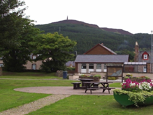
Ben Bhraggie
Ben Bhraggie (Scottish Gaelic: Beinn a' Bhragaidh) is a hill in Scotland which rises to an elevation of 397 metres (1,302 ft) above sea level. The hill...

Battle of Littleferry
The Battle of Littleferry (also known as the Skirmish at Golspie) took place during the Jacobite rising in 1746, just before the Battle of Culloden. Scottish...
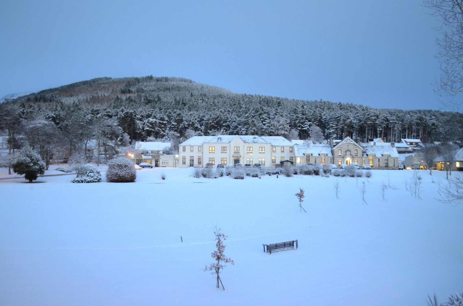
Lawson Memorial Hospital
The Lawson Memorial Hospital is a health facility in Ben Bhraggie Terrace, Golspie, Scotland. It is managed by NHS Highland. == History == The facility...
Nearby Amenities
Located within 500m of 57.971852,-4.0138843Have you been to Culmaily Plantation?
Leave your review of Culmaily Plantation below (or comments, questions and feedback).