Castlecary High Wood

Wood, Forest in Stirlingshire

Scotland

Castlecary High Wood

Greenhill, view west
Greenhill, view west Credit: Robert Murray

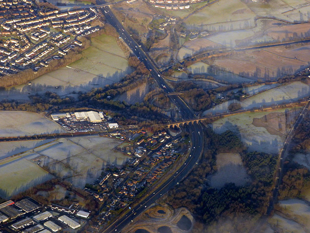
Castlecary High Wood is a picturesque forest located in Stirlingshire, Scotland. Covering an area of approximately 20 hectares, it is a popular destination for nature enthusiasts and hikers alike. The woodland is situated near the village of Castlecary and is easily accessible by road.

The wood is predominantly composed of broadleaf trees such as oak, beech, and birch, creating a rich and diverse ecosystem. The dense canopy provides a haven for a wide variety of bird species, including woodpeckers, thrushes, and owls, making it a birdwatcher's paradise. Additionally, the forest floor is adorned with a colorful carpet of wildflowers and ferns during the warmer months.

One of the main attractions of Castlecary High Wood is the presence of the Antonine Wall, a UNESCO World Heritage Site. This ancient Roman fortification, built in the 2nd century AD, runs through the wood, adding historical significance to the area. Visitors can explore the remnants of the wall and gain insights into the Roman occupation of Scotland.

The wood also offers several well-maintained walking trails, allowing visitors to immerse themselves in the natural beauty of the surroundings. These paths wind through the forest, providing ample opportunities to spot wildlife and enjoy peaceful moments of solitude.

Overall, Castlecary High Wood in Stirlingshire is a captivating destination that offers a blend of natural beauty and historical intrigue. Whether one is interested in birdwatching, hiking, or exploring ancient ruins, this woodland provides an enriching experience for all who visit.

If you have any feedback on the listing, please let us know in the comments section below.

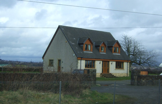
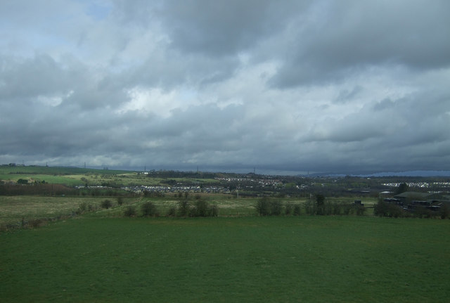
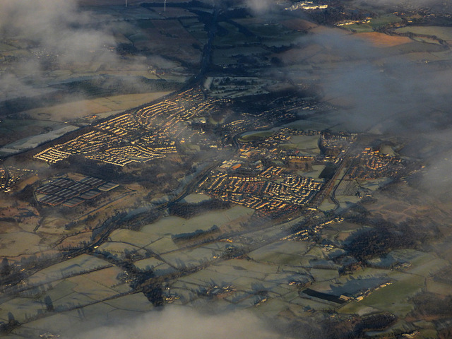
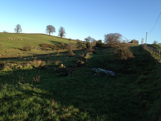
Castlecary High Wood Images

Images are sourced within 2km of 55.970986/-3.9110642 or Grid Reference NS8076. Thanks to Geograph Open Source API. All images are credited.

Greenhill, view west
Greenhill, view north-east
House, Greenhill
House, Greenhill
Grazing, Skipperton
Grazing, Skipperton
Mast, Garbett Hill
Mast, Garbett Hill
Arns Surviving open land in a heavily forested area.
Arns
Surviving open land in a heavily forested area.
Bonnybridge from the air Greenhill railway junction, where the line to Stirling and Perth joins the Glasgow to Edinburgh line, can be seen in the lower right corner. The Forth & Clyde canal and the M80 motorway can also be seen.
Bonnybridge from the air
Greenhill railway junction, where the line to Stirling and Perth joins the Glasgow to Edinburgh line, can be seen in the lower right corner. The Forth & Clyde canal and the M80 motorway can also be seen.
Allandale Cottages The northern side of a neat row of workers' cottages on the B816 - here there are 46 in four blocks. They were built in 1907 by John G Stein to house workers from his nearby Castlecary Fireclay Works <a href="https://www.geograph.org.uk/gridref/NS+7978">NS 7978</a>. They were named after his son, Allan. Built from red sandstone, with pitched slate roofs, the S row cottages are similar, but without the dormer windows. For a closer view see <a href="https://www.geograph.org.uk/photo/6194373">NS8078 : Allandale Cottages</a>. <span class="nowrap"><a title="https://canmore.org.uk/site/150976/castlecary-allandale-cottages" rel="nofollow ugc noopener" href="https://canmore.org.uk/site/150976/castlecary-allandale-cottages">Link</a><img style="margin-left:2px;" alt="External link" title="External link - shift click to open in new window" src="https://s1.geograph.org.uk/img/external.png" width="10" height="10"/></span>. The '5 mph Play Street 8am to sunset except for access' refers to the road at the back of the cottages <a href="https://www.geograph.org.uk/photo/6194381">NS8078 : Allandale Cottages - Play Street</a>, not the one in view!
Allandale Cottages
The northern side of a neat row of workers' cottages on the B816 - here there are 46 in four blocks. They were built in 1907 by John G Stein to house workers from his nearby Castlecary Fireclay Works NS 7978. They were named after his son, Allan. Built from red sandstone, with pitched slate roofs, the S row cottages are similar, but without the dormer windows. For a closer view see NS8078 : Allandale Cottages. LinkExternal link. The '5 mph Play Street 8am to sunset except for access' refers to the road at the back of the cottages NS8078 : Allandale Cottages - Play Street, not the one in view!
Allandale Cottages The northern side of a neat row of workers' cottages on the B816 - here there are 46 in four blocks. They were built in 1907 by John G Stein to house workers from his nearby Castlecary Fireclay Works <a href="https://www.geograph.org.uk/gridref/NS+7978">NS 7978</a>. They were named after his son, Allan. Built from red sandstone, with pitched slate roofs, the S row cottages are similar, but without the dormer windows. <span class="nowrap"><a title="https://canmore.org.uk/site/150976/castlecary-allandale-cottages" rel="nofollow ugc noopener" href="https://canmore.org.uk/site/150976/castlecary-allandale-cottages">Link</a><img style="margin-left:2px;" alt="External link" title="External link - shift click to open in new window" src="https://s1.geograph.org.uk/img/external.png" width="10" height="10"/></span>. For a longer view see <a href="https://www.geograph.org.uk/photo/6194370">NS8078 : Allandale Cottages</a>.
Allandale Cottages
The northern side of a neat row of workers' cottages on the B816 - here there are 46 in four blocks. They were built in 1907 by John G Stein to house workers from his nearby Castlecary Fireclay Works NS 7978. They were named after his son, Allan. Built from red sandstone, with pitched slate roofs, the S row cottages are similar, but without the dormer windows. LinkExternal link. For a longer view see NS8078 : Allandale Cottages.
Allandale Cottages - Play Street The rear of the cottages pictured in <a href="https://www.geograph.org.uk/photo/6194373">NS8078 : Allandale Cottages</a>. Parking spaces alternate with lawns and drying greens, and the strip coincides with the course of the Antonine Wall; immediately to the left of the trees is the Forth & Clyde Canal.
Allandale Cottages - Play Street
The rear of the cottages pictured in NS8078 : Allandale Cottages. Parking spaces alternate with lawns and drying greens, and the strip coincides with the course of the Antonine Wall; immediately to the left of the trees is the Forth & Clyde Canal.
Pasture at Garbethill House
B816: Allandale Allandale Cottage built for workers at John G. Stein brickworks
B816: Allandale
Allandale Cottage built for workers at John G. Stein brickworks
Cruising the canal Heading west between locks 17 & 18
Cruising the canal
Heading west between locks 17 & 18
Cumbernauld, Walton Burn Flowing through a gully next to Abronhill's ring road a fairly wide burn. Note the ochre seeping from the sandstone.
Cumbernauld, Walton Burn
Flowing through a gully next to Abronhill's ring road a fairly wide burn. Note the ochre seeping from the sandstone.
Remains of old road, crossing Walton road This road leads to rubble, which could be an old farm stead or perhaps Roman. It would have connected to a road which leads to Castlecary cottage. Roman fort nearby.
Remains of old road, crossing Walton road
This road leads to rubble, which could be an old farm stead or perhaps Roman. It would have connected to a road which leads to Castlecary cottage. Roman fort nearby.
Walton, farmland A little burn flows through this fold in the land, it originates from the drainage ditches in Castlecary Low Wood plantation and empties into the Red Burn in Castle Glen.
Walton, farmland
A little burn flows through this fold in the land, it originates from the drainage ditches in Castlecary Low Wood plantation and empties into the Red Burn in Castle Glen.
Walton, West Craig The Beech in the distance top the Dolerite outcrop known as West Craig (Crag).
Walton, West Craig
The Beech in the distance top the Dolerite outcrop known as West Craig (Crag).
Bandominie Farm Visible for miles around due to its prominence.
Bandominie Farm
Visible for miles around due to its prominence.
Show me another place!

Castlecary High Wood is located at Grid Ref: NS8076 (Lat: 55.970986, Lng: -3.9110642)

Unitary Authority: Falkirk

Police Authority: Forth Valley

What 3 Words

///critic.hotspots.globe. Near Greenhill, Falkirk

Nearby Locations

Castlecary High Wood

Related Wikis

Upper Greenhill railway station

Upper Greenhill railway station served the village of Greenhill, Falkirk, Scotland from 1848 to 1865 on the Edinburgh and Glasgow Railway. == History... ==

Allandale, Falkirk

Allandale is a small village in the Falkirk council area of Scotland. Allandale is located 1.6 miles (2.6 km) south-west of Bonnybridge, 3.5 miles (5.6...

Castle Cary Castle

Castle Cary Castle (sometimes called Castlecary Castle) is a fifteenth-century tower house, about 6 miles (10 km) from Falkirk, in the former county...

Abronhill

Abronhill () is an area in the north-east of Cumbernauld, North Lanarkshire, Scotland. It extends one to two miles (two to three kilometres) from Cumbernauld...

Greenhill Lower railway station

Greenhill Lower railway station served the village of Greenhill, Falkirk, Scotland from 1848 to 1966 on the Scottish Central Railway. == History == The...

Seabegs Wood

Seabegs Wood was the site of a Roman fortlet on the Antonine Wall in Scotland.At Seabegs, the outline of Antonine's Wall, has lasted. Archaeologists from...

Castlecary

Castlecary () is a small historic village in North Lanarkshire, Scotland, directly adjacent to the border with Falkirk. It has long been associated with...

Castlecary rail accidents

Two rail accidents have occurred near Castlecary, Scotland. One of these was in 1937 and one in 1968. Both events involved rear-end collisions, and caused...

Have you been to Castlecary High Wood?

Leave your review of Castlecary High Wood below (or comments, questions and feedback).