Carnedd

Settlement in Montgomeryshire

Wales

Carnedd

A470 near Plas Dinam Country House
A470 near Plas Dinam Country House Credit: Colin Pyle

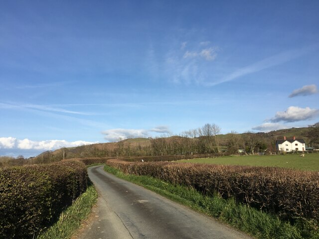
Carnedd is a small village located in the county of Montgomeryshire, Wales. Situated in the picturesque countryside, the village is nestled amidst rolling green hills and offers stunning views of the surrounding landscape. It is situated approximately 4 miles northwest of the town of Montgomery.

The village is known for its tranquil and peaceful atmosphere, making it an ideal destination for those seeking a break from the bustling city life. With a population of around 200, Carnedd maintains a close-knit community feel.

One of the notable landmarks in Carnedd is the St. John the Baptist Church, which dates back to the 13th century. The church showcases beautiful architectural features and is a significant historical site in the area.

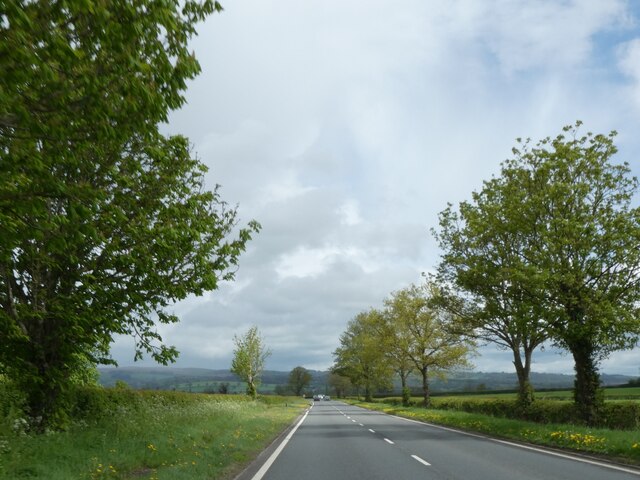
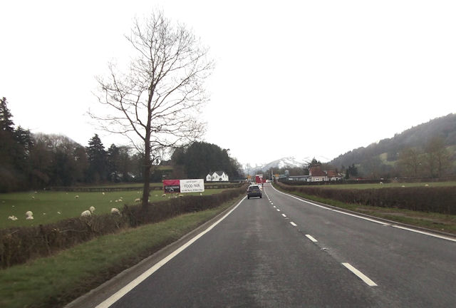
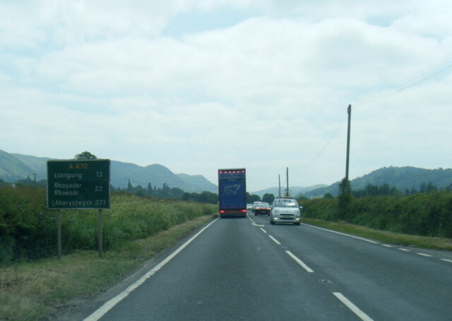
Carnedd is surrounded by natural beauty, making it a popular destination for outdoor enthusiasts. The village is located near the border of Powys and Shropshire, providing easy access to the stunning Welsh countryside and the picturesque landscapes of the English borderlands.

The village offers a range of amenities to its residents and visitors, including a local pub and a community center. Additionally, the nearby town of Montgomery provides further facilities, such as shops, restaurants, and leisure activities.

Overall, Carnedd is a charming and idyllic village that offers a peaceful retreat for those looking to immerse themselves in the natural beauty of Montgomeryshire.

If you have any feedback on the listing, please let us know in the comments section below.

Carnedd Images

Images are sourced within 2km of 52.509502/-3.442491 or Grid Reference SO0291. Thanks to Geograph Open Source API. All images are credited.

A470 near Plas Dinam Country House
A470 north of Llandinam
A flat landscape, A470 north of Llandinam
Water main repairs by Lower Gwern-eirin A water supply main apparently sprung a leak on New Year's Eve, and the repairs are now nearing completion.
Water main repairs by Lower Gwern-eirin
A water supply main apparently sprung a leak on New Year's Eve, and the repairs are now nearing completion.
The bottom of Waen Lane Having reached the valley bottom for the first time since Llanidloes, the Severn Way takes a right turn.
The bottom of Waen Lane
Having reached the valley bottom for the first time since Llanidloes, the Severn Way takes a right turn.
The Severn valley below Llandinam The valley opens out into a wide and flat plain where several rivers meet.
The Severn valley below Llandinam
The valley opens out into a wide and flat plain where several rivers meet.
Lower Gwern-eirin A farm by the Severn Way. Currently a lot of construction traffic is using this access road.
Lower Gwern-eirin
A farm by the Severn Way. Currently a lot of construction traffic is using this access road.
A470 approaching Plas Dinam
Old Milestone by the A470, north of Llandinam By the A470, in parish of Llandinam (Powys District), opposite Lodge to Plas Dinam, on verge beneath hedge, West side of road.

Inscription reads:-
7
NEWT
LLANI
6½

Grade II listed by Cadw. Reference Number: 17770
<span class="nowrap"><a title="https://cadwpublic-api.azurewebsites.net/reports/listedbuilding/FullReport?lang=&id=17770" rel="nofollow ugc noopener" href="https://cadwpublic-api.azurewebsites.net/reports/listedbuilding/FullReport?lang=&id=17770">Link</a><img style="margin-left:2px;" alt="External link" title="External link - shift click to open in new window" src="https://s1.geograph.org.uk/img/external.png" width="10" height="10"/></span>

Surveyed

Milestone Society National ID: MOT_NTLI07.
Old Milestone by the A470, north of Llandinam
By the A470, in parish of Llandinam (Powys District), opposite Lodge to Plas Dinam, on verge beneath hedge, West side of road. Inscription reads:- 7 NEWT LLANI 6½ Grade II listed by Cadw. Reference Number: 17770 LinkExternal link Surveyed Milestone Society National ID: MOT_NTLI07.
Black Bridge Lane near Caersws
Caersws level crossing from the station
Mine shaft Disused mine shaft from Carnedd Mine. Not much information is available about this other than there was a trial shaft immediately south and a level immediately north.
Mine shaft
Disused mine shaft from Carnedd Mine. Not much information is available about this other than there was a trial shaft immediately south and a level immediately north.
Old mine level Associated with the shaft immediately south not much is known about this disused mine.
Old mine level
Associated with the shaft immediately south not much is known about this disused mine.
The former St Mary's Church, Caersws Now converted into a private dwelling.
The former St Mary's Church, Caersws
Now converted into a private dwelling.
Plas Maldwyn A former workhouse (built 1837-40), now an apartment block.
Plas Maldwyn
A former workhouse (built 1837-40), now an apartment block.
Footbridge north-west of Caersws
A470 level crossing south of Caersws
A470 at Ty Coch
A470 at Ty Coch
Show me another place!

Carnedd is located at Grid Ref: SO0291 (Lat: 52.509502, Lng: -3.442491)

Unitary Authority: Powys

Police Authority: Dyfed Powys

What 3 Words

///lasts.valued.refuses. Near Mochdre, Powys

Nearby Locations

Carnedd

Related Wikis

Caersws railway station

Caersws railway station is on the Cambrian Line in mid-Wales, serving the village of Caersws. It is notable in that there are 22 miles (35 km) separating...

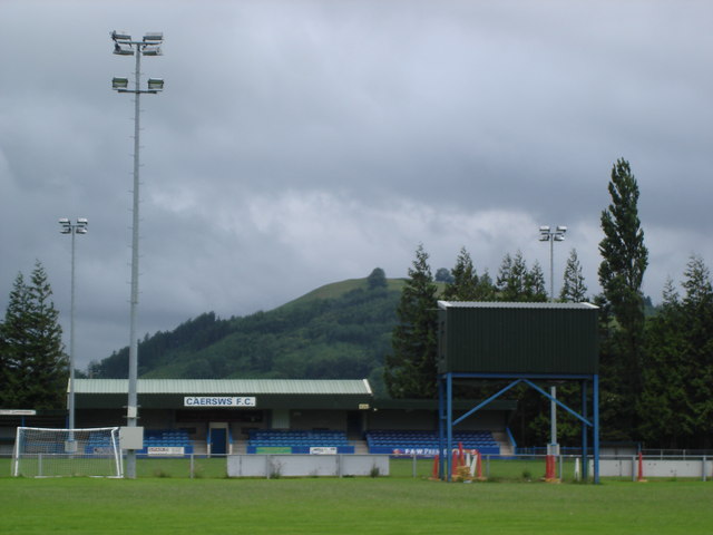
Recreation Ground, Caersws

Recreation Ground is a multi-use stadium in Caersws, Wales. It is currently used mostly for football matches and is the home ground of Caersws F.C. The...

Cefn Carnedd

Cefn Carnedd is an Iron Age hillfort, about 1.5 miles (2 km) south-west of Caersws, in Powys, Wales. It is a scheduled monument.It is on a hill overlooking...

Caersws

Caersws (Welsh: Caersŵs; pronounced [kɑːɨrˈsuːs] ) is a village and community on the River Severn, in the Welsh county of Powys (Montgomeryshire) 5 miles...

Nearby Amenities

Located within 500m of 52.509502,-3.442491
The data included in this document is from www.openstreetmap.org. The data is made available under ODbL.

Have you been to Carnedd?

Leave your review of Carnedd below (or comments, questions and feedback).