Castlecary Low Wood

Wood, Forest in Stirlingshire

Scotland

Castlecary Low Wood

Underwood Lock, Forth and Clyde Canal
Underwood Lock, Forth and Clyde Canal Credit: Euan Nelson

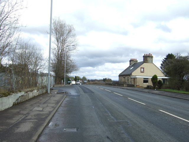
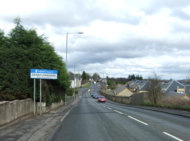
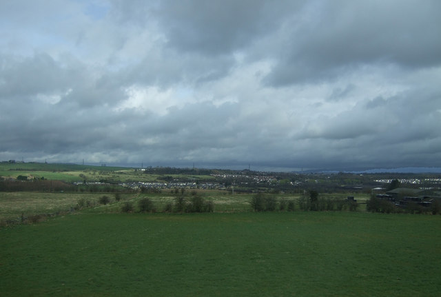
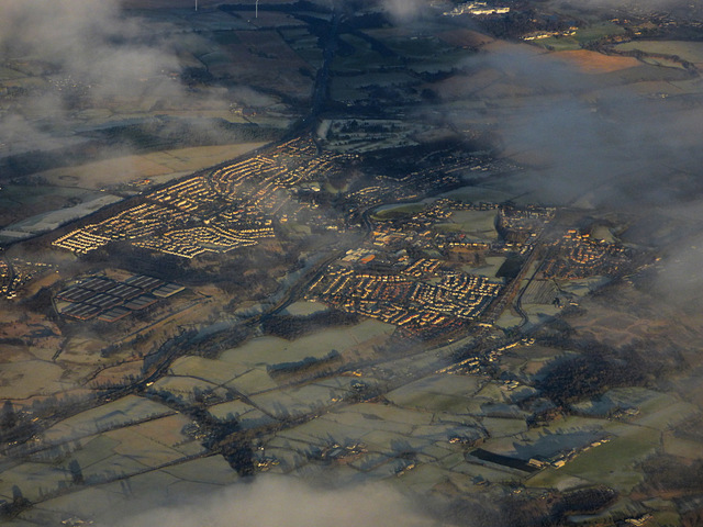
Castlecary Low Wood is a small woodland located in Stirlingshire, Scotland. Situated near the village of Castlecary, it covers an area of approximately 30 hectares. The woodland is part of the larger Castlecary Wood, known for its rich biodiversity and scenic beauty.

The wood is primarily composed of native broadleaf trees, including oak, birch, and ash. These trees create a diverse and vibrant habitat for a wide range of wildlife species. Visitors to Castlecary Low Wood can expect to encounter various birds, such as woodpeckers, thrushes, and owls, as well as small mammals like squirrels, rabbits, and voles.

The woodland offers a tranquil escape from the bustling city life, making it a popular destination for nature lovers and hikers. There are several well-marked trails that wind through the wood, allowing visitors to explore its natural wonders at their own pace. The paths also offer stunning views of the surrounding countryside and nearby Falkirk Wheel, a famous landmark.

Castlecary Low Wood is not only a haven for wildlife and recreational activities but also holds historical significance. It is believed that the area was once part of the Antonine Wall, a Roman fortification that stretched across central Scotland. Today, remnants of this ancient structure can still be seen within the wood, adding to its appeal for history enthusiasts.

Overall, Castlecary Low Wood is a picturesque woodland that offers a unique blend of natural beauty, wildlife, and historical charm. Whether one is seeking a peaceful retreat or an opportunity to connect with nature, this wood provides a delightful experience for all.

If you have any feedback on the listing, please let us know in the comments section below.

Castlecary Low Wood Images

Images are sourced within 2km of 55.979586/-3.9283663 or Grid Reference NS7977. Thanks to Geograph Open Source API. All images are credited.
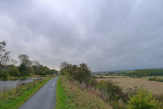
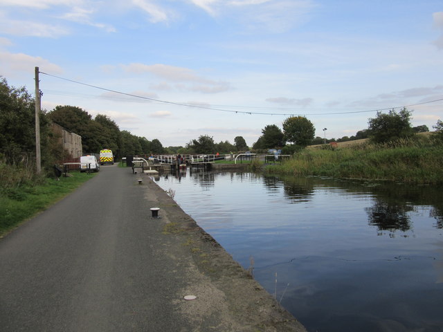
Underwood Lock, Forth and Clyde Canal
House on Glasgow Road (A803)
Church of Christ, Longcroft On Glasgow Road (A803).
Church of Christ, Longcroft
On Glasgow Road (A803).
Sign on the Church of Christ, Longcroft
Glasgow Road (A803), Parkfoot Looking north east.
Glasgow Road (A803), Parkfoot
Looking north east.
Entering Dennyloanhead On Glasgow Road (A803).
Entering Dennyloanhead
On Glasgow Road (A803).
House, Greenhill
House, Greenhill
Grazing, Skipperton
Grazing, Skipperton
Bonnybridge from the air Greenhill railway junction, where the line to Stirling and Perth joins the Glasgow to Edinburgh line, can be seen in the lower right corner. The Forth & Clyde canal and the M80 motorway can also be seen.
Bonnybridge from the air
Greenhill railway junction, where the line to Stirling and Perth joins the Glasgow to Edinburgh line, can be seen in the lower right corner. The Forth & Clyde canal and the M80 motorway can also be seen.
The John Muir Way alongside the Forth and Clyde Canal With the valley of Bonny Water to the right.
The 134 mile John Muir Way, running coast to coast across Scotland's Central Belt, celebrates the Dunbar-born Scotsman who emigrated to America aged 11. Here his love of nature led him to become a leading advocate for the preservation of wilderness areas. He is often referred to as 'the father of national parks'
The John Muir Way alongside the Forth and Clyde Canal
With the valley of Bonny Water to the right. The 134 mile John Muir Way, running coast to coast across Scotland's Central Belt, celebrates the Dunbar-born Scotsman who emigrated to America aged 11. Here his love of nature led him to become a leading advocate for the preservation of wilderness areas. He is often referred to as 'the father of national parks'
Underwood Lockhouse From <span class="nowrap"><a title="https://www.blipfoto.com/entry/3898131" rel="nofollow ugc noopener" href="https://www.blipfoto.com/entry/3898131">Link</a><img style="margin-left:2px;" alt="External link" title="External link - shift click to open in new window" src="https://s1.geograph.org.uk/img/external.png" width="10" height="10"/></span>
"Underwood Lockhouse … was originally stables for horses on the Forth & Clyde Canal [and] also served as a place where people could have a meal, a drink or lodgings during their journey. All that ended, of course, when the canal fell into disuse. Following the re-opening of the [canal] to leisure traffic it was redeveloped as a restaurant ... However … a major fire in July 2013 gutted the building, which still lies in ruins today."
Underwood Lockhouse
From LinkExternal link "Underwood Lockhouse … was originally stables for horses on the Forth & Clyde Canal [and] also served as a place where people could have a meal, a drink or lodgings during their journey. All that ended, of course, when the canal fell into disuse. Following the re-opening of the [canal] to leisure traffic it was redeveloped as a restaurant ... However … a major fire in July 2013 gutted the building, which still lies in ruins today."
Allandale Cottages The northern side of a neat row of workers' cottages on the B816 - here there are 46 in four blocks. They were built in 1907 by John G Stein to house workers from his nearby Castlecary Fireclay Works <a href="https://www.geograph.org.uk/gridref/NS+7978">NS 7978</a>. They were named after his son, Allan. Built from red sandstone, with pitched slate roofs, the S row cottages are similar, but without the dormer windows. For a closer view see <a href="https://www.geograph.org.uk/photo/6194373">NS8078 : Allandale Cottages</a>. <span class="nowrap"><a title="https://canmore.org.uk/site/150976/castlecary-allandale-cottages" rel="nofollow ugc noopener" href="https://canmore.org.uk/site/150976/castlecary-allandale-cottages">Link</a><img style="margin-left:2px;" alt="External link" title="External link - shift click to open in new window" src="https://s1.geograph.org.uk/img/external.png" width="10" height="10"/></span>. The '5 mph Play Street 8am to sunset except for access' refers to the road at the back of the cottages <a href="https://www.geograph.org.uk/photo/6194381">NS8078 : Allandale Cottages - Play Street</a>, not the one in view!
Allandale Cottages
The northern side of a neat row of workers' cottages on the B816 - here there are 46 in four blocks. They were built in 1907 by John G Stein to house workers from his nearby Castlecary Fireclay Works NS 7978. They were named after his son, Allan. Built from red sandstone, with pitched slate roofs, the S row cottages are similar, but without the dormer windows. For a closer view see NS8078 : Allandale Cottages. LinkExternal link. The '5 mph Play Street 8am to sunset except for access' refers to the road at the back of the cottages NS8078 : Allandale Cottages - Play Street, not the one in view!
Allandale Cottages The northern side of a neat row of workers' cottages on the B816 - here there are 46 in four blocks. They were built in 1907 by John G Stein to house workers from his nearby Castlecary Fireclay Works <a href="https://www.geograph.org.uk/gridref/NS+7978">NS 7978</a>. They were named after his son, Allan. Built from red sandstone, with pitched slate roofs, the S row cottages are similar, but without the dormer windows. <span class="nowrap"><a title="https://canmore.org.uk/site/150976/castlecary-allandale-cottages" rel="nofollow ugc noopener" href="https://canmore.org.uk/site/150976/castlecary-allandale-cottages">Link</a><img style="margin-left:2px;" alt="External link" title="External link - shift click to open in new window" src="https://s1.geograph.org.uk/img/external.png" width="10" height="10"/></span>. For a longer view see <a href="https://www.geograph.org.uk/photo/6194370">NS8078 : Allandale Cottages</a>.
Allandale Cottages
The northern side of a neat row of workers' cottages on the B816 - here there are 46 in four blocks. They were built in 1907 by John G Stein to house workers from his nearby Castlecary Fireclay Works NS 7978. They were named after his son, Allan. Built from red sandstone, with pitched slate roofs, the S row cottages are similar, but without the dormer windows. LinkExternal link. For a longer view see NS8078 : Allandale Cottages.
Allandale Cottages - Play Street The rear of the cottages pictured in <a href="https://www.geograph.org.uk/photo/6194373">NS8078 : Allandale Cottages</a>. Parking spaces alternate with lawns and drying greens, and the strip coincides with the course of the Antonine Wall; immediately to the left of the trees is the Forth & Clyde Canal.
Allandale Cottages - Play Street
The rear of the cottages pictured in NS8078 : Allandale Cottages. Parking spaces alternate with lawns and drying greens, and the strip coincides with the course of the Antonine Wall; immediately to the left of the trees is the Forth & Clyde Canal.
Houses on Glasgow Road
View from Glasgow Road
A803 at Dennyloanhead
Closing the gate Two volunteer lock-keepers assisting at Underwood Lock. 
I later saw them cycling west to the next lock.
Closing the gate
Two volunteer lock-keepers assisting at Underwood Lock. I later saw them cycling west to the next lock.
Show me another place!

Castlecary Low Wood is located at Grid Ref: NS7977 (Lat: 55.979586, Lng: -3.9283663)

Unitary Authority: Falkirk

Police Authority: Forth Valley

What 3 Words

///aware.chairing.miracle. Near Banknock, Falkirk

Related Wikis

Allandale, Falkirk

Allandale is a small village in the Falkirk council area of Scotland. Allandale is located 1.6 miles (2.6 km) south-west of Bonnybridge, 3.5 miles (5.6...

Castle Cary Castle

Castle Cary Castle (sometimes called Castlecary Castle) is a fifteenth-century tower house, about 6 miles (10 km) from Falkirk, in the former county...

Castlecary railway station

Castlecary railway station served the village of Castlecary, North Lanarkshire, Scotland from 1842 to 1967 on the Edinburgh and Glasgow Railway. ��2�...

Castlecary rail accidents

Two rail accidents have occurred near Castlecary, Scotland. One of these was in 1937 and one in 1968. Both events involved rear-end collisions, and caused...

Nearby Amenities

Located within 500m of 55.979586,-3.9283663
Power: pole
Lat/Long: 55.9802169/-3.930155
Power: pole
Lat/Long: 55.9802605/-3.9313298
Power: pole
Lat/Long: 55.9801269/-3.9275667
Power: pole
Lat/Long: 55.9801044/-3.9267406
Power: pole
Lat/Long: 55.9803505/-3.9335829
Power: pole
Lat/Long: 55.980298/-3.9323115
Power: pole
Lat/Long: 55.9797502/-3.9315095
Power: pole
Lat/Long: 55.9799303/-3.9226207
Power: pole
Lat/Long: 55.9803985/-3.9348489
Power: pole
Lat/Long: 55.9806266/-3.9316705
Power: pole
Lat/Long: 55.9802995/-3.9316114
Power: pole
Lat/Long: 55.9792205/-3.9314022
Material: wood
Power: pole
Lat/Long: 55.9818046/-3.9319226
Power: pole
Lat/Long: 55.9754944/-3.9277493
Power: pole
Lat/Long: 55.9799873/-3.9242997
Power: pole
Lat/Long: 55.9787418/-3.9312359
Power: pole
Lat/Long: 55.9773073/-3.9298441
Power: pole
Lat/Long: 55.9778086/-3.930394
Power: pole
Lat/Long: 55.9801689/-3.9289319
Power: pole
Lat/Long: 55.9800624/-3.9258688
Material: wood
Power: pole
Lat/Long: 55.9823583/-3.9320218
Power: pole
Lat/Long: 55.9802109/-3.9213413
Material: wood
Power: pole
Lat/Long: 55.9812856/-3.9318156
Power: pole
Lat/Long: 55.9801314/-3.9355489
Material: wood
Power: pole
Lat/Long: 55.9820538/-3.9218411
Material: wood
Power: pole
Lat/Long: 55.981661/-3.9215869
The data included in this document is from www.openstreetmap.org. The data is made available under ODbL.

Have you been to Castlecary Low Wood?

Leave your review of Castlecary Low Wood below (or comments, questions and feedback).