Allanbank Wood

Wood, Forest in Kirkcudbrightshire

Scotland

Allanbank Wood

Hardhills Cottage
Hardhills Cottage Credit: Eirian Evans

Allanbank Wood is a picturesque woodland located in the region of Kirkcudbrightshire, Scotland. With its enchanting atmosphere and diverse range of flora and fauna, it serves as a popular destination for nature lovers and outdoor enthusiasts alike.

Covering an area of approximately 100 acres, Allanbank Wood boasts a variety of tree species, including oak, ash, beech, and birch. The dense canopy created by these towering trees allows for a cool and shady environment, perfect for a leisurely stroll or a peaceful picnic.

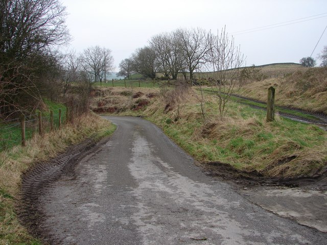
The woodland is crisscrossed by a network of well-maintained trails, providing visitors with the opportunity to explore its natural beauty. These trails wind their way through the wood, leading to hidden gems such as trickling streams and small clearings that are home to an array of wildflowers.

Wildlife thrives within Allanbank Wood, with sightings of red squirrels, badgers, and various bird species being common. The woodland provides a vital habitat for these creatures, offering shelter and sustenance throughout the year.

For those interested in the history of the area, Allanbank Wood holds significance as it was once part of the lands owned by the local Kirkcudbright Castle. Remnants of ancient stone walls and boundary markers can still be found within the wood, adding to its charm and historical appeal.

Allanbank Wood is a tranquil oasis, inviting visitors to immerse themselves in the beauty of nature. Whether you are seeking a peaceful retreat or an opportunity to observe wildlife in its natural habitat, this woodland in Kirkcudbrightshire is sure to captivate and inspire.

If you have any feedback on the listing, please let us know in the comments section below.

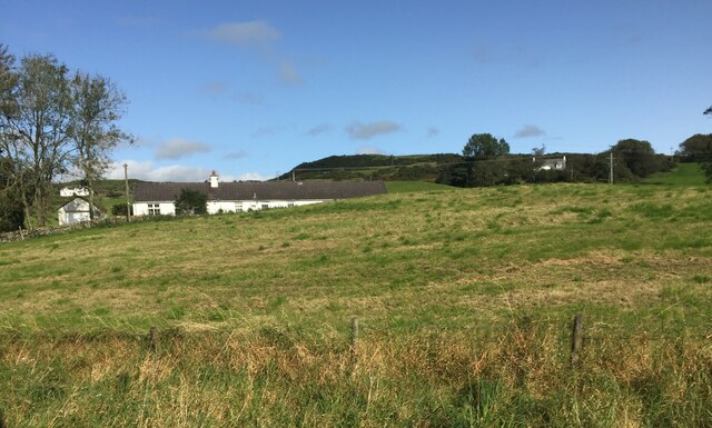
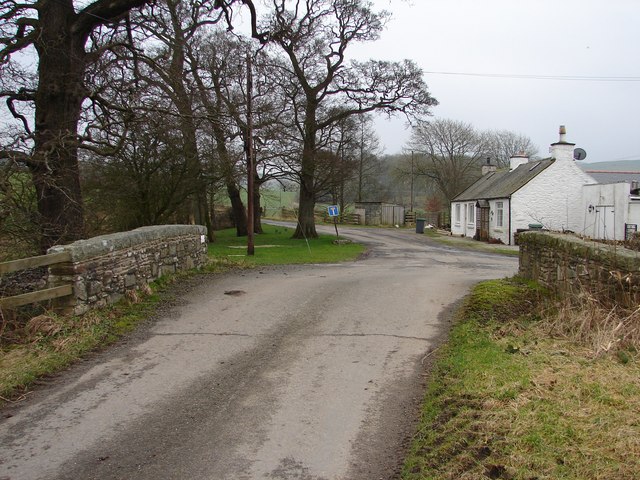
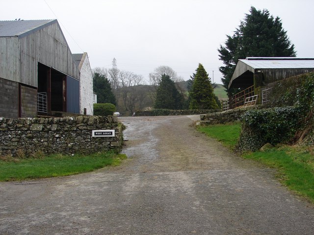
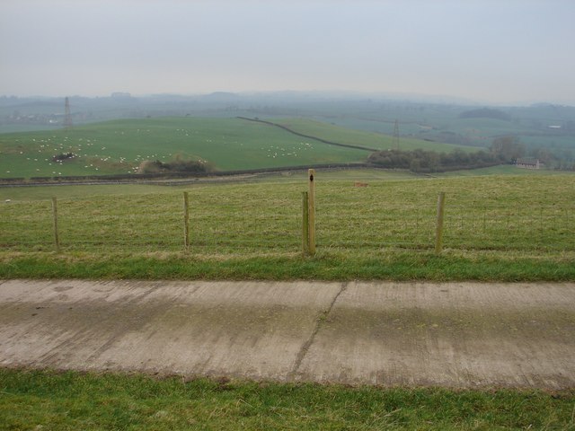
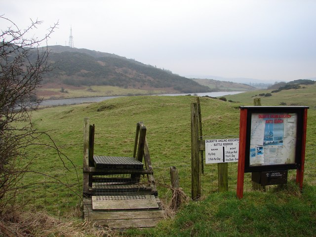
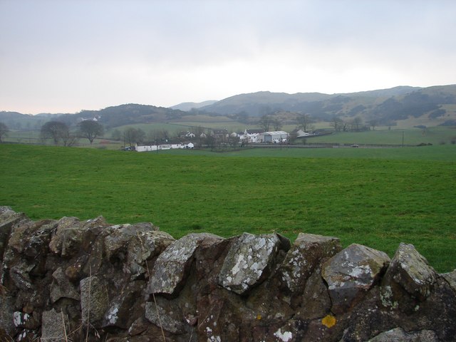
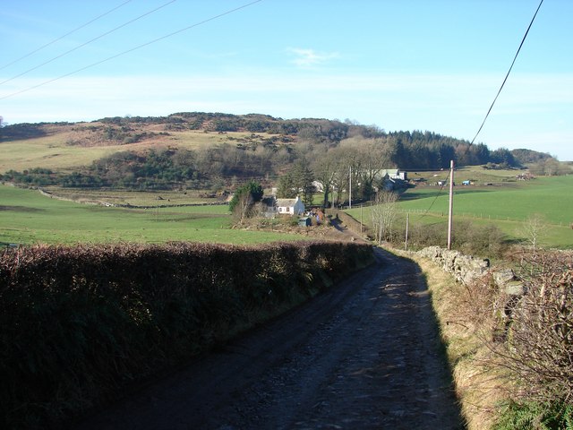
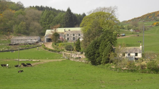
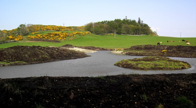
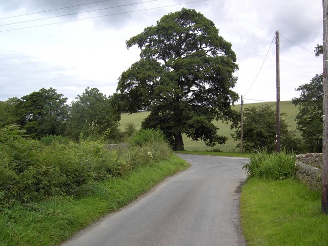
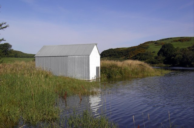
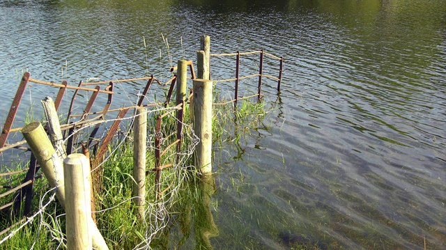
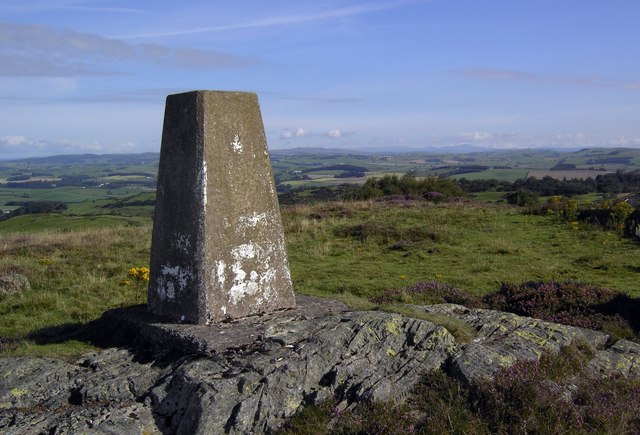
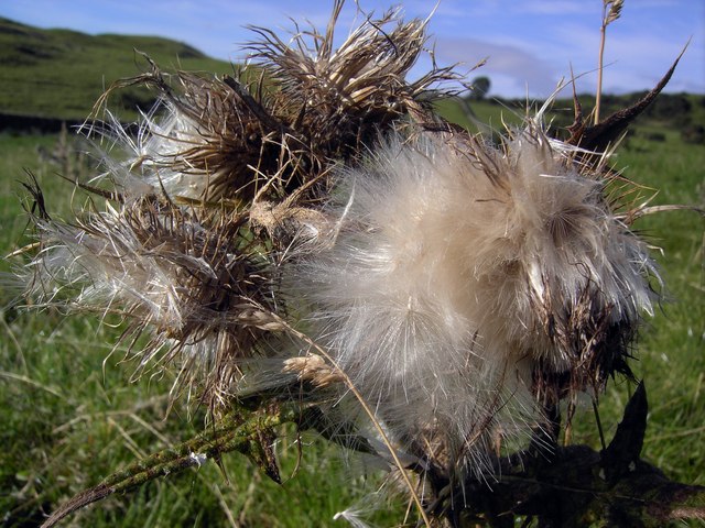
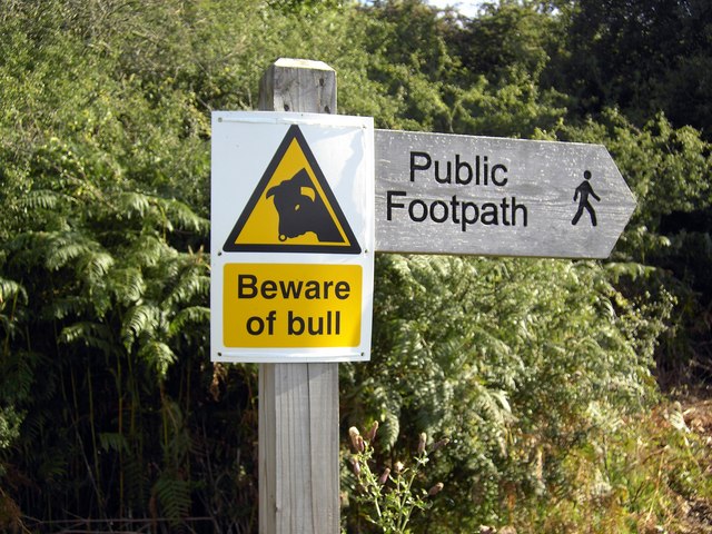
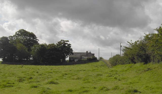
Allanbank Wood Images

Images are sourced within 2km of 54.935717/-3.879325 or Grid Reference NX7961. Thanks to Geograph Open Source API. All images are credited.

Hardhills Cottage
Hardhills Cottage
Barskeoch Hill This large Radio Tower stands on a high hill between Castle Douglas and Dalbeattie. The tower is a TV Relay for the area and belongs to ntl.
Barskeoch Hill
This large Radio Tower stands on a high hill between Castle Douglas and Dalbeattie. The tower is a TV Relay for the area and belongs to ntl.
Halketleaths Bridge Bridge over the Birkland Burn at the junction of the Meikle Knox, Blackerne and Netheryett lanes.
Halketleaths Bridge
Bridge over the Birkland Burn at the junction of the Meikle Knox, Blackerne and Netheryett lanes.
West Logan Farm on the Meikle Knox - Netheryett lane.
West Logan
Farm on the Meikle Knox - Netheryett lane.
Guffogland Winter view NW from Guffogland farm road toward Meikle Knox and Halket Leathes.
Guffogland
Winter view NW from Guffogland farm road toward Meikle Knox and Halket Leathes.
Dalbeattie Reservoir (Buittle) Officially Dalbeattie Reservoir but known locally as Buittle Reservoir. Rumbling Well (a natural spring leading into the water) was used in the C17 as a spring for sick people, here they left money or clothes as a thanks offering.
The TV-Radio relay transmitter stands on Barskeoch Hill <a href="https://www.geograph.org.uk/gridref/NX8161">NX8161</a>.
Dalbeattie Reservoir (Buittle)
Officially Dalbeattie Reservoir but known locally as Buittle Reservoir. Rumbling Well (a natural spring leading into the water) was used in the C17 as a spring for sick people, here they left money or clothes as a thanks offering. The TV-Radio relay transmitter stands on Barskeoch Hill NX8161.
Hardhills Winter view across the fields of Little Knox toward the A745 at Hardhills Smithy, now a modern farming machinery dealership.
Hardhills
Winter view across the fields of Little Knox toward the A745 at Hardhills Smithy, now a modern farming machinery dealership.
Buittle Mains Track descends from the A745 to Buittle Mains Farm, beyond is Knox Hill.
Buittle Mains
Track descends from the A745 to Buittle Mains Farm, beyond is Knox Hill.
Buittle Mains Buittle Mains farm near Dalbeattie.
Buittle Mains
Buittle Mains farm near Dalbeattie.
Fishing Pool A fishing pool on Little Knox farm.
Fishing Pool
A fishing pool on Little Knox farm.
Halket Leaths Turning The bend in the road at Halket Leaths bridge.
Halket Leaths Turning
The bend in the road at Halket Leaths bridge.
Boathouse, Dalbeattie Reservoir The boathouse on Dalbeattie reservoir, a popular fishing spot.
Boathouse, Dalbeattie Reservoir
The boathouse on Dalbeattie reservoir, a popular fishing spot.
Dalbeattie Reservoir An old fence at Dalbeattie Reservoir.
Dalbeattie Reservoir
An old fence at Dalbeattie Reservoir.
Barskeoch Hill Trig The trig point on top of Barskeoch Hill.
Barskeoch Hill Trig
The trig point on top of Barskeoch Hill.
Thistledown Thistledown.
Thistledown
Thistledown.
Beware of Bull Beware of Bull on public Footpath.
Beware of Bull
Beware of Bull on public Footpath.
Guffogland From the Guffogland road end looking up towards an old converted farm steading.
Guffogland
From the Guffogland road end looking up towards an old converted farm steading.
Old Buittle Tower This lady will guide you around Buittle Tower, a "Reiver" stronghold and lairds home, where all wear period costume authentic in every detail.
Old Buittle Tower
This lady will guide you around Buittle Tower, a "Reiver" stronghold and lairds home, where all wear period costume authentic in every detail.
Show me another place!

Allanbank Wood is located at Grid Ref: NX7961 (Lat: 54.935717, Lng: -3.879325)

Unitary Authority: Dumfries and Galloway

Police Authority: Dumfries and Galloway

What 3 Words

///shirtless.tomb.evaporate. Near Castle Douglas, Dumfries & Galloway

Nearby Locations

Allanbank Wood

Related Wikis

Buittle

Buittle is an ecclesiastical and civil parish in Dumfries and Galloway, southwest Scotland, in the traditional county of Kirkcudbrightshire. It lies to...

Buittle Castle

Buittle Castle, also known historically as Botle or Botel Castle, is a Motte and Bailey site in Galloway, south-west Scotland with significant early and...

Buittle railway station

Buittle railway station, also known as Buittle Halt, Buittle Mill and Buittle Mill Halt, served the civil parish of Buittle, Dumfries and Galloway, Scotland...

Buittle Bridge

Buittle Bridge, also known as Craignair Bridge is a bridge over the Urr Water just outside Dalbeattie in Dumfries and Galloway, Scotland. Completed in...

Nearby Amenities

Located within 500m of 54.935717,-3.879325
Power: tower
Lat/Long: 54.9357196/-3.8855833
Power: tower
Lat/Long: 54.9373339/-3.8829113
Power: tower
Lat/Long: 54.9389029/-3.8802998
The data included in this document is from www.openstreetmap.org. The data is made available under ODbL.

Have you been to Allanbank Wood?

Leave your review of Allanbank Wood below (or comments, questions and feedback).