Braes Wood

Wood, Forest in Stirlingshire

Scotland

Braes Wood

Road to Boards Quarry Now blocked off.
Road to Boards Quarry Credit: Richard Webb

The requested URL returned error: 429 Too Many Requests

If you have any feedback on the listing, please let us know in the comments section below.
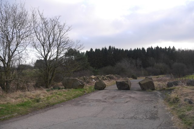
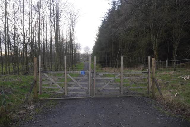
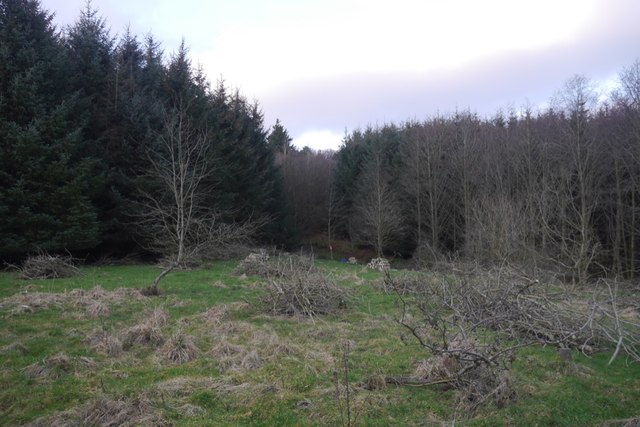
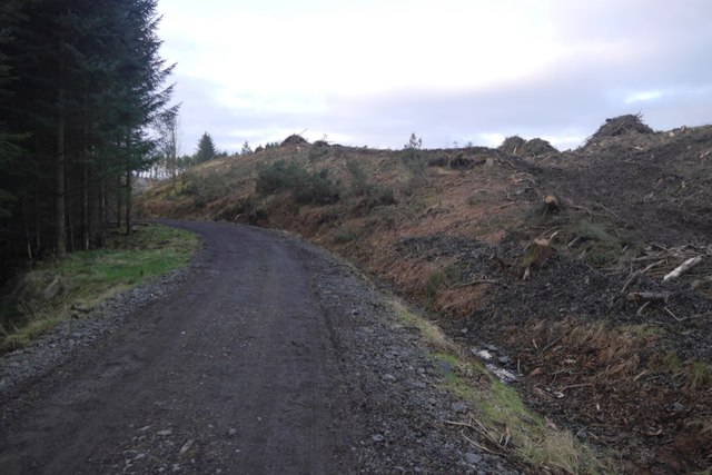
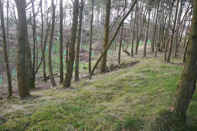
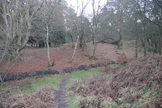
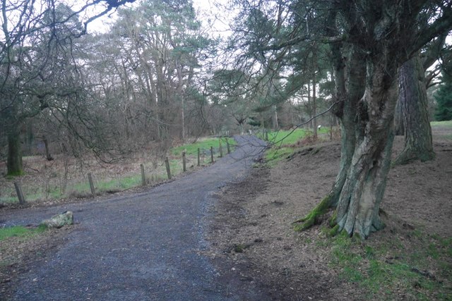
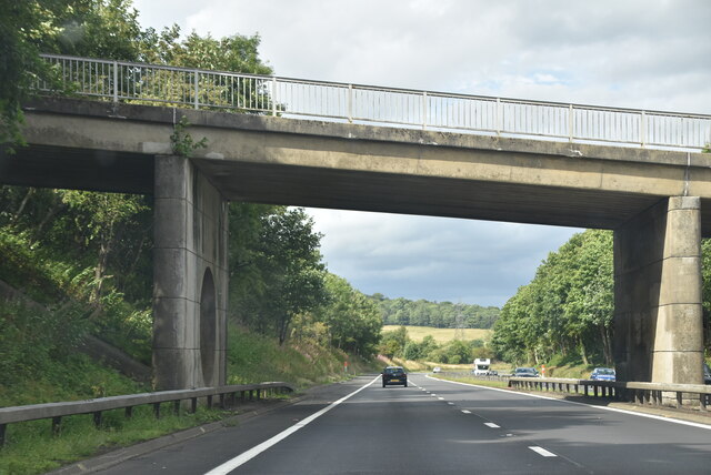
Braes Wood Images

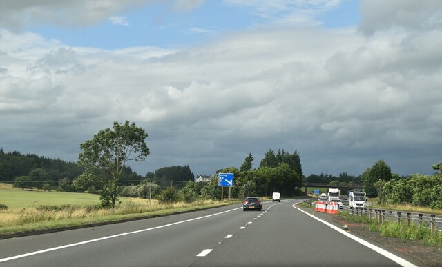
Images are sourced within 2km of 56.043377/-3.935562 or Grid Reference NS7985. Thanks to Geograph Open Source API. All images are credited.

Road to Boards Quarry Now blocked off.
Road to Boards Quarry
Now blocked off.
New road, Barr Wood The road, which is new and not on the latest edition of the orienteering map runs up to a shelter at NS790867. It has been used to extract timber and services the scout camp without destroying the wild feel of the part of the camp most often used.
New road, Barr Wood
The road, which is new and not on the latest edition of the orienteering map runs up to a shelter at NS790867. It has been used to extract timber and services the scout camp without destroying the wild feel of the part of the camp most often used.
Barr Wood By the new road on the edge of the woodland. This is a small commercial plantation and does not appear to be used by the Scout camp.
Barr Wood
By the new road on the edge of the woodland. This is a small commercial plantation and does not appear to be used by the Scout camp.
New road and felled area, Barr Wood The road is of very recent construction.
New road and felled area, Barr Wood
The road is of very recent construction.
Barr Wood Near the summit. The last orienteering map showed the summit to be almost inaccessible due to windthrow, but in the past two years the place has been tidied up. The trees in the foreground survived.
Barr Wood
Near the summit. The last orienteering map showed the summit to be almost inaccessible due to windthrow, but in the past two years the place has been tidied up. The trees in the foreground survived.
Barr Wood Replanted area near the summit.
Barr Wood
Replanted area near the summit.
Summit, Barr Wood Near the highest point of the wood. The summit area has suffered much windthrow as seen here. Some of the tangle has been cleared up and there is now an unobstructed path to the top.
Summit, Barr Wood
Near the highest point of the wood. The summit area has suffered much windthrow as seen here. Some of the tangle has been cleared up and there is now an unobstructed path to the top.
Barr Wood Much of the wood is used as a Scout camp, so best visited in Winter.
Barr Wood
Much of the wood is used as a Scout camp, so best visited in Winter.
Path, Barr Wood Newly upgraded path. The wood is used as a Scout camp.
Path, Barr Wood
Newly upgraded path. The wood is used as a Scout camp.
Small waterfall on the River Carron The river tumbles over this rocky step in Carron Glen.
Small waterfall on the River Carron
The river tumbles over this rocky step in Carron Glen.
Ruined farm buildings at Stoneyinch A small upland farm at about 175m above sea level which, presumably, became uneconomic at some point, with its land likely to have been absorbed into a larger farming unit.
Ruined farm buildings at Stoneyinch
A small upland farm at about 175m above sea level which, presumably, became uneconomic at some point, with its land likely to have been absorbed into a larger farming unit.
Hillside between Skea Craig and Shippytrouty Wood An area of hillside on a dolerite outcrop; there are a fair number of scattered Scots pines on this long spur of raised ground, as well as rowans and many gorse bushes.
Hillside between Skea Craig and Shippytrouty Wood
An area of hillside on a dolerite outcrop; there are a fair number of scattered Scots pines on this long spur of raised ground, as well as rowans and many gorse bushes.
Undulating pasture and scrub east of Skea Craig Gorse (whin) bushes have colonised this hillside quite prolifically, but there are other species, such as rowan trees.
Undulating pasture and scrub east of Skea Craig
Gorse (whin) bushes have colonised this hillside quite prolifically, but there are other species, such as rowan trees.
Ruined farm buildings at Wester Barnego Wester Barnego and Easter Barnego have fallen by the wayside, but farming activity is still ongoing at Middle Barnego.
Ruined farm buildings at Wester Barnego
Wester Barnego and Easter Barnego have fallen by the wayside, but farming activity is still ongoing at Middle Barnego.
Minor road at Barnego The signpost on the left points to the path which leads through the Carron Glen woods, and eventually to Fankerton on the opposite side of the River Carron (crossed via a wooden footbridge).
Minor road at Barnego
The signpost on the left points to the path which leads through the Carron Glen woods, and eventually to Fankerton on the opposite side of the River Carron (crossed via a wooden footbridge).
Barnego Bridge, M80 The M80 joins Glasgow to Stirling. It runs 25 miles from Glasgow to Bannockburn.
<span class="nowrap"><a title="https://www.sabre-roads.org.uk/wiki/index.php?title=M80" rel="nofollow ugc noopener" href="https://www.sabre-roads.org.uk/wiki/index.php?title=M80">Link</a><img style="margin-left:2px;" alt="External link" title="External link - shift click to open in new window" src="https://s1.geograph.org.uk/img/external.png" width="10" height="10"/></span>
Barnego Bridge, M80
The M80 joins Glasgow to Stirling. It runs 25 miles from Glasgow to Bannockburn. LinkExternal link
M80, northbound The M80 joins Glasgow to Stirling. It runs 25 miles from Glasgow to Bannockburn.
<span class="nowrap"><a title="https://www.sabre-roads.org.uk/wiki/index.php?title=M80" rel="nofollow ugc noopener" href="https://www.sabre-roads.org.uk/wiki/index.php?title=M80">Link</a><img style="margin-left:2px;" alt="External link" title="External link - shift click to open in new window" src="https://s1.geograph.org.uk/img/external.png" width="10" height="10"/></span>
M80, northbound
The M80 joins Glasgow to Stirling. It runs 25 miles from Glasgow to Bannockburn. LinkExternal link
Show me another place!

Braes Wood is located at Grid Ref: NS7985 (Lat: 56.043377, Lng: -3.935562)

Unitary Authority: Falkirk

Police Authority: Forth Valley

What 3 Words

///prune.become.fruitcake. Near Dunipace, Falkirk

Nearby Locations

Braes Wood

Related Wikis

Fankerton

Fankerton is a small village which lies within the Falkirk council area of Scotland. The village is 1 mile (1.6 km) west of Denny and 6.3 miles (10.1 km...

Strathcarron Hospice

Strathcarron Hospice is a free palliative care resource in Denny, Scotland, serving people in the Forth Valley and North Lanarkshire areas. It was established...

Herbertshire Castle

Herbertshire Castle was a castle built in the Barony of Herbertshire in the early fifteenth century, located near Dunipace, Falkirk, central Scotland....

Dunipace

Dunipace (Scottish Gaelic: Dùn a' Bhàis) is a village in the west of the Falkirk council area of Scotland. The village is 6.3 miles (10.1 km) south of...

Have you been to Braes Wood?

Leave your review of Braes Wood below (or comments, questions and feedback).