Balblair Wood
Wood, Forest in Sutherland
Scotland
Balblair Wood

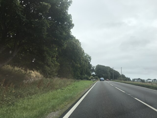
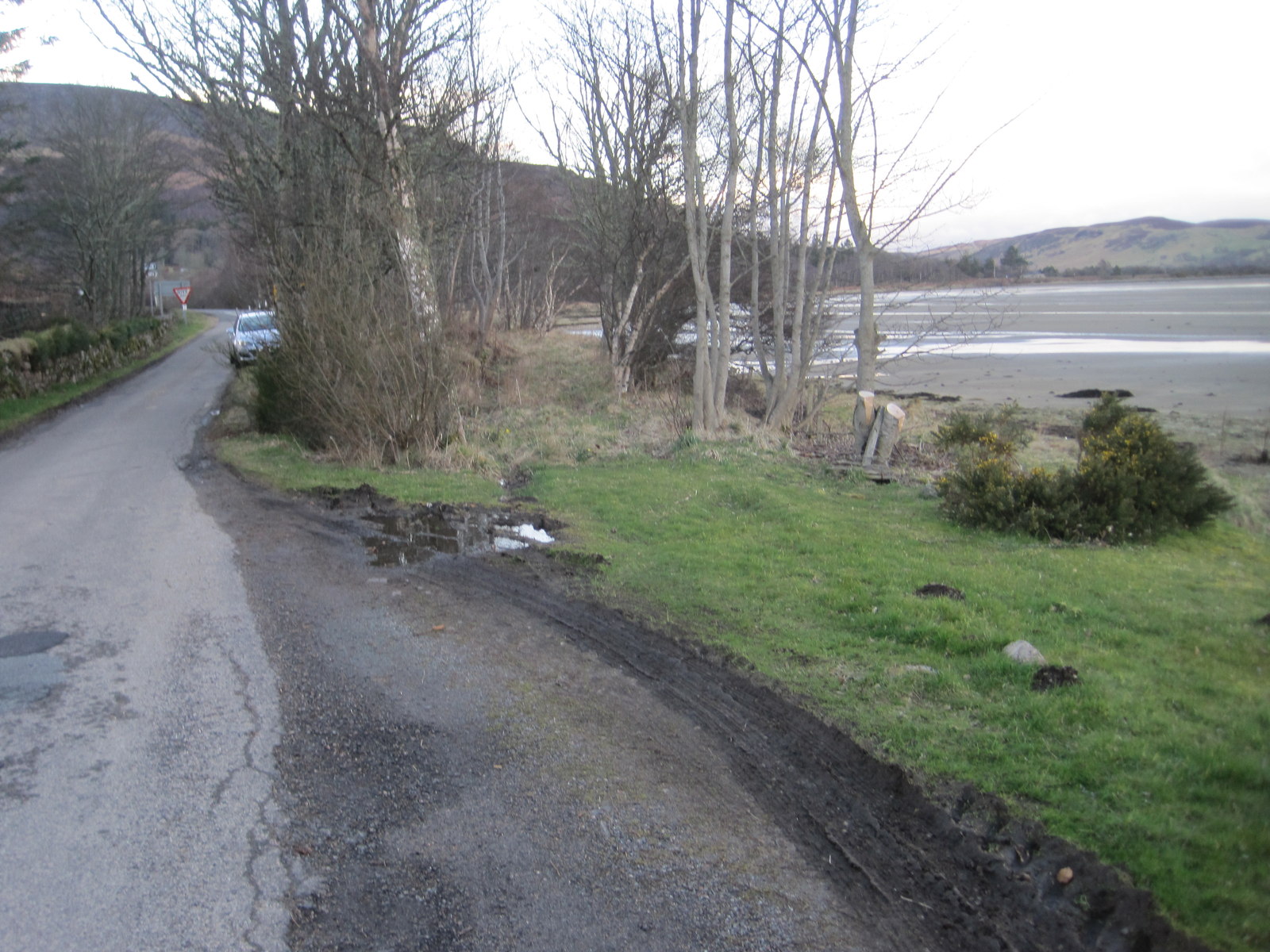
Balblair Wood is a picturesque forest located in Sutherland, a county in the Scottish Highlands. Nestled amidst the rolling hills and breathtaking landscapes, this wood spans an area of approximately 2,000 acres. It is renowned for its natural beauty and diverse flora and fauna, making it a popular destination for nature enthusiasts and hikers.
The wood is predominantly composed of native Scottish trees, including oak, birch, and rowan. These trees create a dense canopy, providing a sheltered environment for a wide range of wildlife. Visitors to Balblair Wood can expect to encounter various bird species, such as golden eagles, peregrine falcons, and red grouse. Mammals, including red deer, roe deer, and pine martens, also call this forest home.
Traversing Balblair Wood, visitors will find a network of well-maintained trails that meander through the woodland, offering stunning views of the surrounding countryside. The trails cater to different levels of difficulty, ensuring that there is something for everyone, from gentle strolls to more challenging hikes.
The wood is also steeped in history, with ancient remnants visible throughout the area. Ruins of old settlements and burial sites provide a glimpse into the past, adding an air of mystery and intrigue to the wood.
Overall, Balblair Wood offers a serene and idyllic setting for those seeking solace in nature. Its lush greenery, diverse wildlife, and rich history make it a must-visit destination for anyone exploring the Scottish Highlands.
If you have any feedback on the listing, please let us know in the comments section below.
Balblair Wood Images
Images are sourced within 2km of 57.952181/-4.0412061 or Grid Reference NH7997. Thanks to Geograph Open Source API. All images are credited.


Balblair Wood is located at Grid Ref: NH7997 (Lat: 57.952181, Lng: -4.0412061)
Unitary Authority: Highland
Police Authority: Highlands and Islands
What 3 Words
///discount.enough.cleanest. Near Golspie, Highland
Nearby Locations
Related Wikis

Battle of Skibo and Strathfleet
The Battle of Skibo and Strathfleet was prompted by Clan Donald's invasion of the area around Dornoch in northern Scotland in 1480. Two attacks were repulsed...
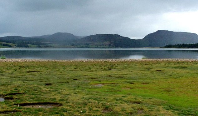
Loch Fleet
Loch Fleet (Scottish Gaelic: Loch Fleòid) is a sea loch on the east coast of Scotland, located between Golspie and Dornoch. It forms the estuary of the...

The Mound railway station
The Mound railway station was a former railway station on the Far North Line near the head of Loch Fleet in Scotland. For more than half of its life it...
Cambusavie Platform railway station
Cambusavie platform formerly served Cambusavie in Sutherland, Scotland. == History == The station was opened in 1902. It was a request stop only. The station...
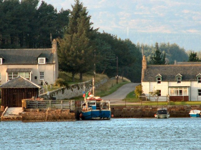
Littleferry
Littleferry (Scottish Gaelic: Am Port Beag) is a village on the north east shore of Loch Fleet in Golspie, Sutherland, and is in the Scottish council...

Battle of Littleferry
The Battle of Littleferry (also known as the Skirmish at Golspie) took place during the Jacobite rising in 1746, just before the Battle of Culloden. Scottish...

Skelbo railway station
Skelbo railway station was a halt on the Dornoch Light Railway serving the village of Skelbo in Sutherland, Scotland. == History == The station was opened...

Drummuie
Drummuie, formerly Golspie Technical School, is a municipal structure in Drummuie Terrace, Golspie, Highland, Scotland. The complex, which was the headquarters...
Nearby Amenities
Located within 500m of 57.952181,-4.0412061Have you been to Balblair Wood?
Leave your review of Balblair Wood below (or comments, questions and feedback).