Carnbee

Settlement in Fife

Scotland

Carnbee

Kellie Castle near Pittenweem Kellie castle dates from the 14th century and has a victorian garden.The castle is reputedly haunted.It was the home of Sir Robert Lorimer,the architect of the Scottish National War Memorial and Hew Lorimer,the sculptor.
 .
Kellie Castle near Pittenweem Credit: Ian Murfitt

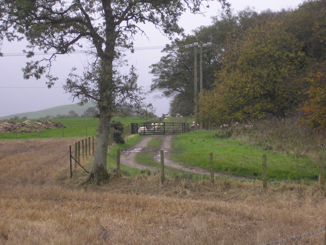
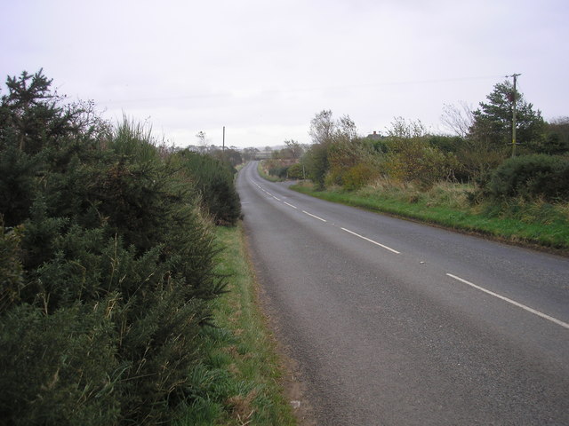
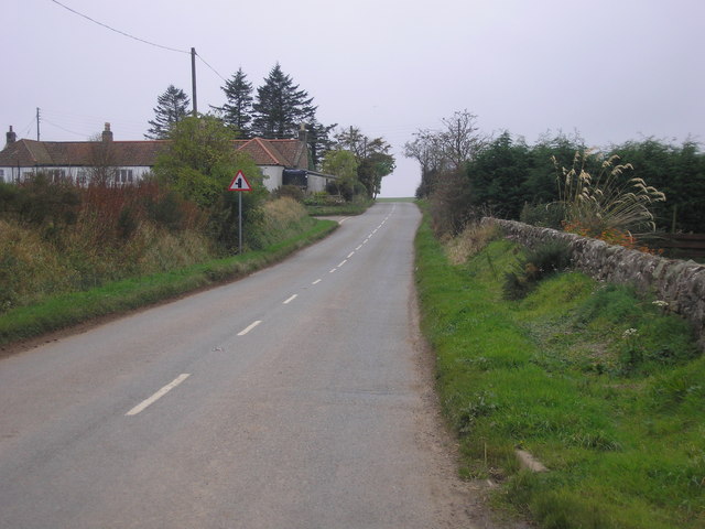
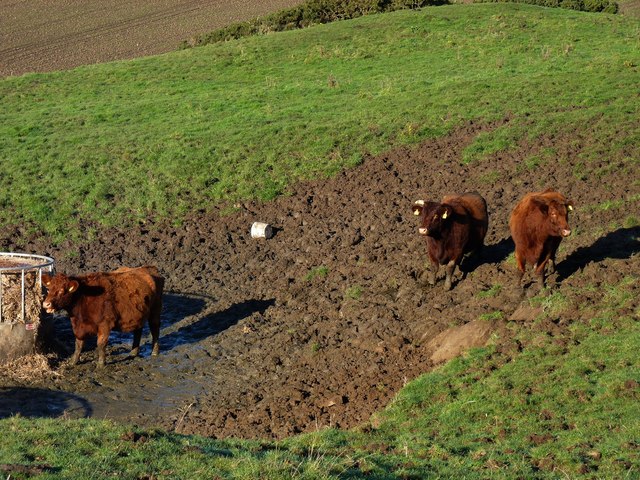
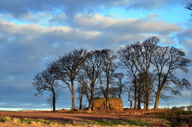
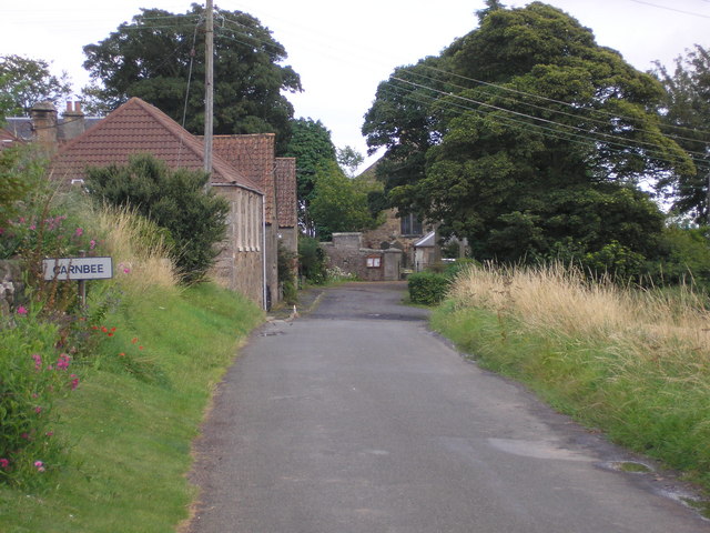
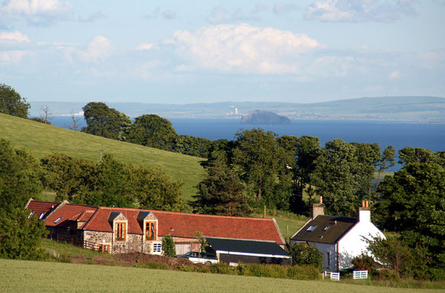
Carnbee is a small village located in the county of Fife, Scotland. Situated approximately 5 miles southwest of the town of St Andrews, Carnbee is nestled amidst the scenic countryside, offering picturesque views of rolling hills and verdant landscapes.

The village itself is relatively small, with a population of around 300 residents. It maintains a tranquil and peaceful atmosphere, making it an ideal retreat for those seeking a break from the hustle and bustle of city life. The community is close-knit, and residents often engage in various social activities and events organized by the local community center.

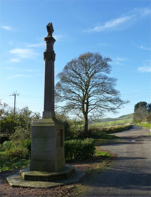
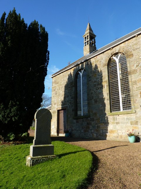
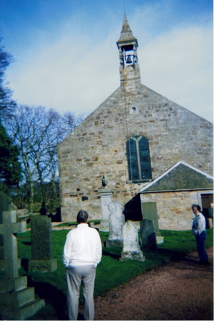
Carnbee boasts a rich history, with evidence of human settlement dating back to ancient times. The area has seen the presence of Pictish tribes, as well as the influence of medieval Scottish clans. Historical landmarks such as Carnbee Parish Church, a charming 19th-century building, stand as a testament to the village's heritage.

Despite its small size, Carnbee offers amenities to cater to the needs of its residents. The village has a primary school, providing education to local children. Additionally, there are a handful of local businesses, including a small convenience store and a cozy pub, where residents can gather and socialize.

Carnbee's location in the heart of Fife allows for easy access to nearby attractions. The renowned St Andrews Golf Course, historic castles, and beautiful beaches are all just a short drive away, providing ample opportunities for outdoor recreation and exploration.

Overall, Carnbee offers a charming and peaceful escape for those looking to immerse themselves in the tranquility of rural Scotland, while still enjoying the convenience of nearby amenities and attractions.

If you have any feedback on the listing, please let us know in the comments section below.
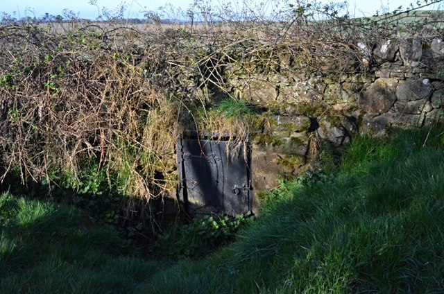
Carnbee Images

Images are sourced within 2km of 56.24764/-2.756481 or Grid Reference NO5306. Thanks to Geograph Open Source API. All images are credited.

Kellie Castle near Pittenweem Kellie castle dates from the 14th century and has a victorian garden.The castle is reputedly haunted.It was the home of Sir Robert Lorimer,the architect of the Scottish National War Memorial and Hew Lorimer,the sculptor.
 .
Kellie Castle near Pittenweem
Kellie castle dates from the 14th century and has a victorian garden.The castle is reputedly haunted.It was the home of Sir Robert Lorimer,the architect of the Scottish National War Memorial and Hew Lorimer,the sculptor. .
Temporary high-rise Straw bales in a stubble field near Kellie Castle.
Temporary high-rise
Straw bales in a stubble field near Kellie Castle.
Conical tower Detail of the roofwork at the south-western corner of Kellie Castle.
Conical tower
Detail of the roofwork at the south-western corner of Kellie Castle.
Farm track The view of a farm track and woodland as seen from the B940, opposite the entrance to Kingsmuir House.
Farm track
The view of a farm track and woodland as seen from the B940, opposite the entrance to Kingsmuir House.
B940 road, heading towards the Drumrack junction The view of the B940.  The entrance and parking area to the front of a house named Hurlmakin can be seen on the right hand side of the road.
B940 road, heading towards the Drumrack junction
The view of the B940. The entrance and parking area to the front of a house named Hurlmakin can be seen on the right hand side of the road.
Road junction The road junction on the B940.  The minor road on the left goes from here (Lochty) to Carnbee.
Road junction
The road junction on the B940. The minor road on the left goes from here (Lochty) to Carnbee.
The Lochty terminus of the dismantled Lochty railway The view of hay bales and discarded items in the area where the Lochty railway started (or ended if the train had come from Leven).

<span class="nowrap"><a title="http://www.braehead.info/buckhaven/html/lochty_private_railway.html" rel="nofollow ugc noopener" href="http://www.braehead.info/buckhaven/html/lochty_private_railway.html">Link</a><img style="margin-left:2px;" alt="External link" title="External link - shift click to open in new window" src="https://s1.geograph.org.uk/img/external.png" width="10" height="10"/></span> provides more information. There is information on <a href="https://www.geograph.org.uk/photo/1212291">NO5107 : Once a railway embankment</a>.
The Lochty terminus of the dismantled Lochty railway
The view of hay bales and discarded items in the area where the Lochty railway started (or ended if the train had come from Leven). LinkExternal link provides more information. There is information on NO5107 : Once a railway embankment.
Dismantled railway cutting The view of the railway (dismantled) as seen from the end of the railway embankment which runs from Lochty.
Dismantled railway cutting
The view of the railway (dismantled) as seen from the end of the railway embankment which runs from Lochty.
View from the railway embankment The view of farmland as seen from the railway (disused) embankment.
View from the railway embankment
The view of farmland as seen from the railway (disused) embankment.
Dismantled railway line The view of a footpath/farm track which follows the route of the dismantled railway line as it crosses a railway embankment.
Dismantled railway line
The view of a footpath/farm track which follows the route of the dismantled railway line as it crosses a railway embankment.
Keep your feet out the mud Cattle on the slopes of Kellie Law.
Keep your feet out the mud
Cattle on the slopes of Kellie Law.
War memorial Remembering the men from Carnbee district lost during World War 1.
War memorial
Remembering the men from Carnbee district lost during World War 1.
Yew shadow Cast on the wall of Carnbee Church.
Yew shadow
Cast on the wall of Carnbee Church.
Little used entrance Steps leading to the rear of Carnbee Church.
Little used entrance
Steps leading to the rear of Carnbee Church.
Arable farmland, Comielaw View on a dismal day towards Anstruther.
Arable farmland, Comielaw
View on a dismal day towards Anstruther.
Doocot, Kellie Farm
Doocot, Kellie Farm
A Carnbee well One of two on the short section of road.
A Carnbee well
One of two on the short section of road.
Carnbee Church, Fife, Scotland Remote Carnbee church in the rolling hills of eastern Fife
Carnbee Church, Fife, Scotland
Remote Carnbee church in the rolling hills of eastern Fife
Show me another place!

Carnbee is located at Grid Ref: NO5306 (Lat: 56.24764, Lng: -2.756481)

Unitary Authority: Fife

Police Authority: Fife

What 3 Words

///bands.retaliate.united. Near Pittenweem, Fife

Nearby Locations

Carnbee

Related Wikis

Carnbee, Fife

Carnbee is a village and rural parish in the inland part of the East Neuk of Fife, Scotland. == Location == It lies to the north of Anstruther and Pittenweem...

Kellie Castle

Kellie Castle is a castle just outside Arncroach and below the dominant hill in the area, Kellie Law. it is about 4 kilometres north of Pittenweem in...

Arncroach

Arncroach is a small village situated in the east of Fife, four miles inland of the fishing village of Pittenweem and around 10 miles away from St Andrews...

Pittarthie Castle

Pittarthie Castle is the remains of what was a laird’s tower house in Fife, Scotland dating to the end of the sixteenth century. The ruins of the structure...

Pittenweem railway station

Pittenweem railway station served the village of Pittenweem, Fife, Scotland from 1863 to 1965 on the Fife Coast Railway. == History == The station opened...

East Neuk

The East Neuk ( ) or East Neuk of Fife is an area of the coast of Fife, Scotland. "Neuk" is the Scots word for nook or corner, and the East Neuk is generally...

Abercrombie, Fife

Abercrombie (Gaelic: Obar Chrombaidh) is a village in Fife , Scotland. Abercrombie, recorded in 1157-60 as Abercrumbin, means 'mouth of the river Crombie...

Anstruther railway station

Anstruther railway station served the village of Anstruther, Fife, in Scotland. Served by the Leven and East of Fife Railway it was opened in 1863. �...

Nearby Amenities

Located within 500m of 56.24764,-2.756481
Carnbee
Place: hamlet
Lat/Long: 56.2495711/-2.7582193
Defibrillator
Access: yes
Emergency: defibrillator
Indoor: no
Opening Hours: 24/7
Lat/Long: 56.2491455/-2.7578183
Post Box
Collection Times: Mo-Fr 12:00; Sa 10:45
Operator: Royal Mail
Post Box Mounting: stone_wall
Post Box Type: wall
Ref: KY10 175
Royal Cypher: VR
Royal Cypher Wikidata: Q33102356
Lat/Long: 56.2491419/-2.7581489
Power: pole
Lat/Long: 56.247183/-2.7644739
Power: pole
Lat/Long: 56.2475005/-2.7639556
Power: pole
Lat/Long: 56.2478179/-2.7634238
Power: pole
Lat/Long: 56.2481423/-2.7628965
Power: pole
Lat/Long: 56.2484522/-2.7624087
Power: pole
Lat/Long: 56.248722/-2.7619604
Power: pole
Lat/Long: 56.2488248/-2.7613586
Power: pole
Lat/Long: 56.2488688/-2.7608979
Power: pole
Lat/Long: 56.2489202/-2.7603931
Power: pole
Lat/Long: 56.2490325/-2.7599076
Power: pole
Lat/Long: 56.2490971/-2.759098
Power: pole
Lat/Long: 56.2488506/-2.7587502
Power: pole
Lat/Long: 56.2484723/-2.758198
Power: pole
Lat/Long: 56.2487157/-2.757096
Power: pole
Lat/Long: 56.2489553/-2.756073
Power: pole
Lat/Long: 56.2492991/-2.7552092
Power: pole
Lat/Long: 56.249668/-2.7543013
Power: pole
Lat/Long: 56.2507765/-2.7525037
The data included in this document is from www.openstreetmap.org. The data is made available under ODbL.

Have you been to Carnbee?

Leave your review of Carnbee below (or comments, questions and feedback).