Bohally Wood
Wood, Forest in Perthshire
Scotland
Bohally Wood
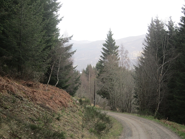
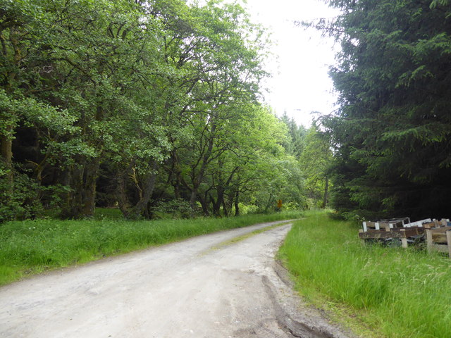
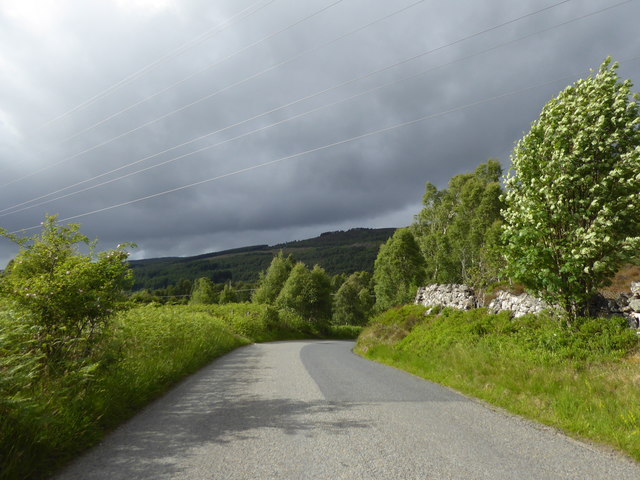
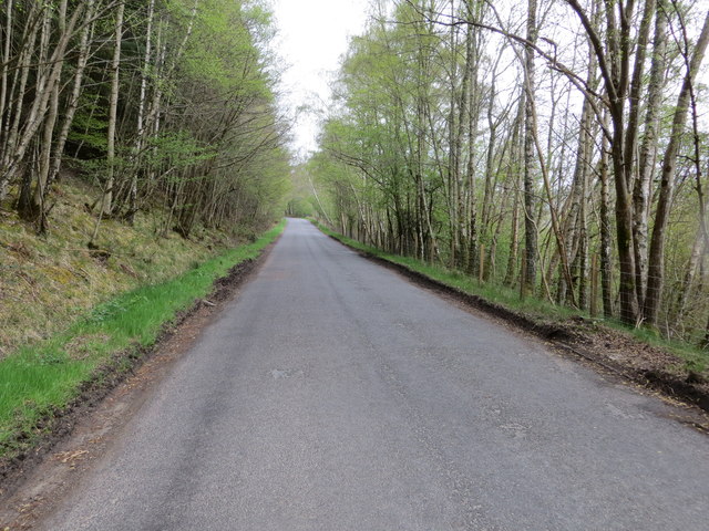
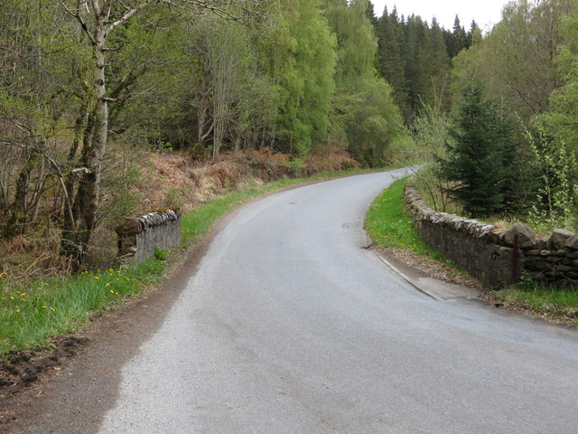
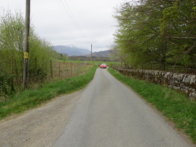
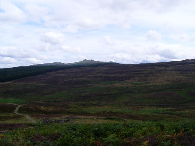
Bohally Wood, located in Perthshire, Scotland, is a picturesque forest known for its natural beauty and diverse wildlife. Spread over an area of approximately 200 hectares, this ancient woodland offers a tranquil escape for nature enthusiasts and hikers alike.
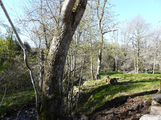
The wood is primarily made up of native broadleaf trees, including oak, birch, and ash, which create a dense canopy that provides shade and a rich habitat for a variety of flora and fauna. The forest floor is covered in a lush carpet of ferns, mosses, and wildflowers, adding to its enchanting appeal.
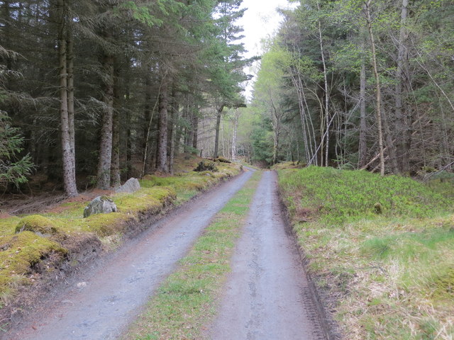
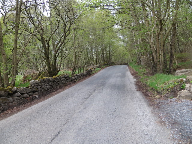
Bohally Wood is intersected by several well-marked trails, making it accessible for visitors of all ages and abilities. These paths wind through the forest, leading to stunning viewpoints, babbling streams, and secluded picnic areas. Along the way, visitors may encounter an array of wildlife, such as red squirrels, roe deer, and numerous bird species, including woodpeckers and owls.
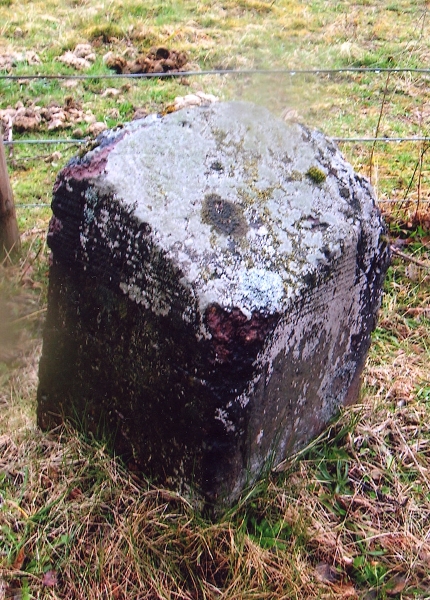
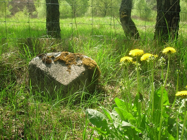
The wood has a rich history dating back centuries, with evidence of human habitation and ancient settlements. The remains of old stone structures and archaeological sites can still be seen within the forest, adding an element of mystery and intrigue to the area.
Bohally Wood is managed by a local conservation organization, which ensures the preservation of its natural beauty and ecological balance. It serves as an important habitat for many protected species and plays a vital role in maintaining the local ecosystem.
Overall, Bohally Wood is a captivating destination for those seeking a peaceful retreat in the heart of Perthshire's stunning countryside. Its ancient trees, abundant wildlife, and historical significance make it a must-visit location for nature lovers and history enthusiasts alike.
If you have any feedback on the listing, please let us know in the comments section below.
Bohally Wood Images
Images are sourced within 2km of 56.71352/-3.9855596 or Grid Reference NN7859. Thanks to Geograph Open Source API. All images are credited.


Bohally Wood is located at Grid Ref: NN7859 (Lat: 56.71352, Lng: -3.9855596)
Unitary Authority: Perth and Kinross
Police Authority: Tayside
What 3 Words
///scores.upwardly.barrel. Near Blair Atholl, Perth & Kinross
Nearby Locations
Related Wikis

Tummel Bridge
Tummel Bridge is a double arched hump-backed former military bridge crossing the River Tummel at Tummel Bridge, Perth & Kinross, Scotland. A Category A...

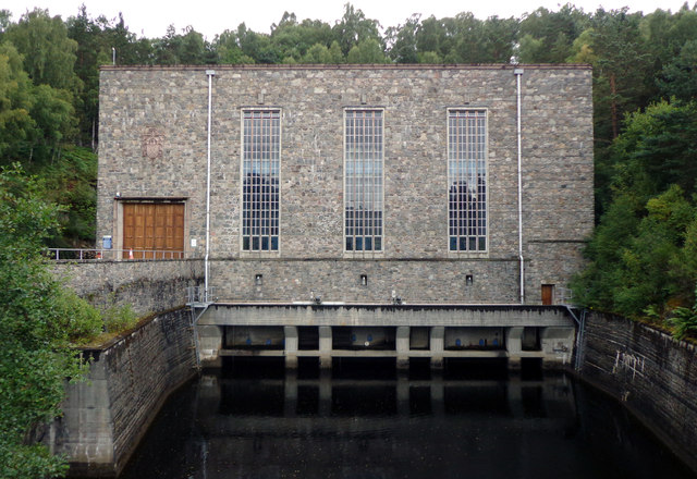
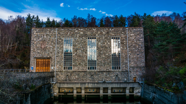
Tummel hydro-electric power scheme
The Tummel hydro-electric power scheme is an interconnected network of dams, power stations, aqueducts and electric power transmission in the Grampian...

Loch Tummel
Loch Tummel (Scottish Gaelic: Loch Teimheil) is a long, narrow loch, seven kilometres (4+1⁄2 miles) northwest of Pitlochry in the council area of Perth...

Loch Bhac
Loch Bhac (Bhaic or Vach) is a fine freshwater trout loch, located in the west part of the Allean Forest, and east part of Tay Forest park, and slightly...

Bohespic
Bohespic (Gaelic: Both Easbaig 'bishop's house') is a place near Blair Atholl in the Perth and Kinross area of Scotland. The name also appears in older...
Meall Tàirneachan
Meall Tairneachan (787 m) is a mountain in the Grampian Mountains of Scotland, located northwest of Aberfeldy in Perthshire. The peak lies in an area of...
Struan, Perthshire
Struan is a small village in Perthshire in Scotland. The name derives from sruthan, the Gaelic for 'Little Stream'. It is 8 km west of Blair Atholl.It...
Struan railway station
Struan railway station served the village of Struan, Perthshire, Scotland from 1863 to 1965 on the Inverness and Perth Junction Railway. == History... ==
Nearby Amenities
Located within 500m of 56.71352,-3.9855596Have you been to Bohally Wood?
Leave your review of Bohally Wood below (or comments, questions and feedback).