Kirklebride Plantation

Wood, Forest in Kirkcudbrightshire

Scotland

Kirklebride Plantation

Gravestones on north side of church at Corsock The small church at Corsock lies outside the village, south-east of it, and alongside the A712.
The green building beside it is a church hall of lower architectural merit but doubtless of value to the local community.
Gravestones on north side of church at Corsock Credit: Trevor Littlewood

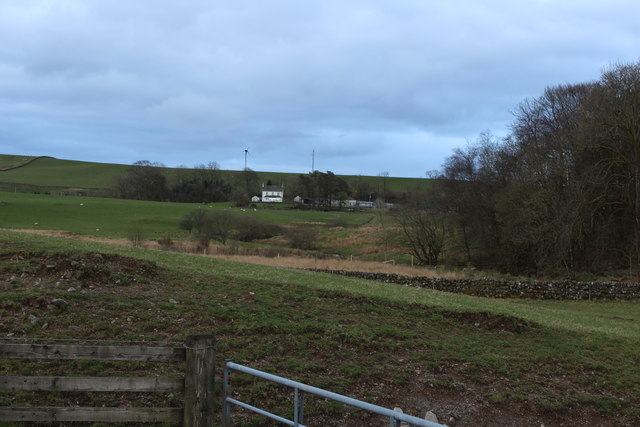
Kirklebride Plantation is a woodland area located in Kirkcudbrightshire, Scotland. Situated in the picturesque region of Kirkcudbright, this plantation covers a vast expanse of land, offering visitors a tranquil escape into nature.

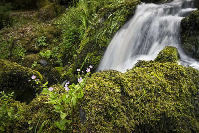
The plantation is primarily comprised of dense forests, with a variety of tree species including oak, beech, and pine. These trees create a lush and green environment, providing a home to an array of wildlife. Visitors to Kirklebride Plantation can expect to encounter a diverse range of fauna, from squirrels and rabbits to various bird species.

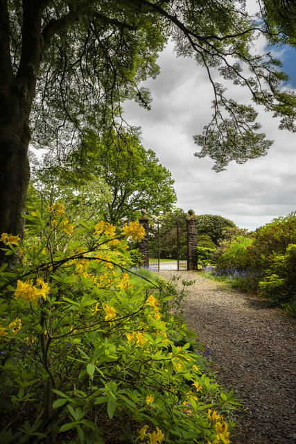
The plantation also boasts several walking trails, allowing visitors to explore the natural beauty of the area at their own pace. These well-maintained paths wind through the woodland, offering scenic views and opportunities for wildlife spotting. Along the trails, visitors may come across charming picnic areas, providing a perfect spot to rest and enjoy the peaceful surroundings.

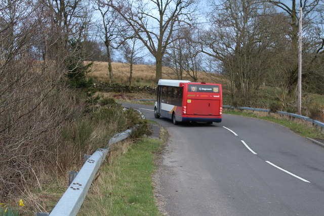
Kirklebride Plantation is a popular destination for nature enthusiasts and outdoor adventurers. The plantation's serene atmosphere and stunning landscape make it an ideal location for walking, hiking, and photography. Additionally, its proximity to the town of Kirkcudbright allows visitors to easily explore the plantation before or after enjoying the town's historical and cultural attractions.

Overall, Kirklebride Plantation offers a delightful experience for those seeking a peaceful retreat in the heart of nature. With its well-preserved woodlands, diverse wildlife, and scenic walking trails, this plantation is a must-visit destination for nature lovers and those looking to immerse themselves in Scotland's natural beauty.

If you have any feedback on the listing, please let us know in the comments section below.

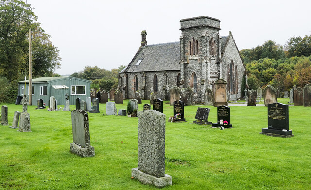
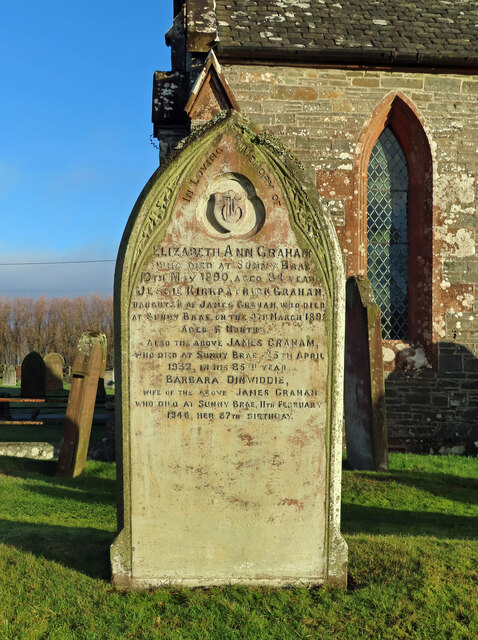
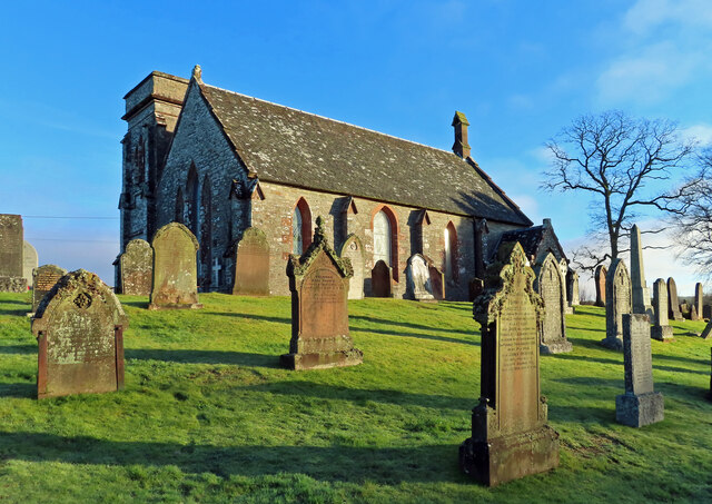
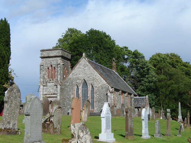
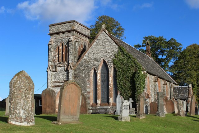
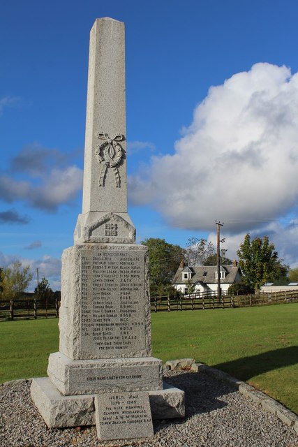
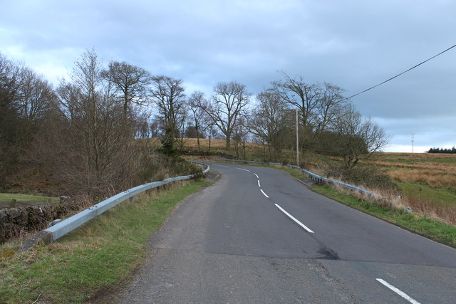
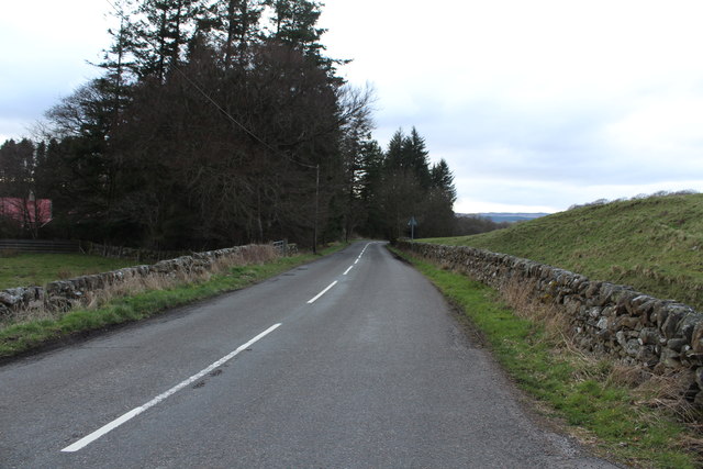
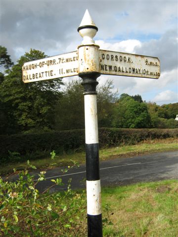
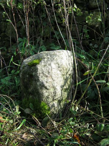
Kirklebride Plantation Images

Images are sourced within 2km of 55.052616/-3.923374 or Grid Reference NX7774. Thanks to Geograph Open Source API. All images are credited.

Gravestones on north side of church at Corsock The small church at Corsock lies outside the village, south-east of it, and alongside the A712.
The green building beside it is a church hall of lower architectural merit but doubtless of value to the local community.
Gravestones on north side of church at Corsock
The small church at Corsock lies outside the village, south-east of it, and alongside the A712. The green building beside it is a church hall of lower architectural merit but doubtless of value to the local community.
Corsock & Kirkpatrick Durham graveyard There seems to be a local custom of recording the place of death on the old headstones. This one marks the burial place of the Graham family, all of whom died at Sunny Brae. The stone records the sad story of a 6-month-old child’s death in 1892, with her parents reaching their eighties in 1932 and 1946. No other children are recorded on the stone.
Corsock & Kirkpatrick Durham graveyard
There seems to be a local custom of recording the place of death on the old headstones. This one marks the burial place of the Graham family, all of whom died at Sunny Brae. The stone records the sad story of a 6-month-old child’s death in 1892, with her parents reaching their eighties in 1932 and 1946. No other children are recorded on the stone.
Corsock & Kirkpatrick Durham Church A winter view of the building which dates from 1839.
Corsock & Kirkpatrick Durham Church
A winter view of the building which dates from 1839.
Corsock and Kirkpatrick Durham church and churchyard, Corsock
Corsock & Kirkpatrick Durham Church Category B-listed. Built 1839.
Corsock & Kirkpatrick Durham Church
Category B-listed. Built 1839.
Corsock War Memorial
A712 at Drumhumphry Bridge
A712 to Corsock
A712 to Corsock
Farmland at Drumhumphry
Stagecoach Bus at Drumhumphry Bridge
Corsock and Kirkpatrick Durham Church
Corsock War Memorial
Corsock House Garden <span class="nowrap"><a title="https://flic.kr/p/28aqrwa" rel="nofollow ugc noopener" href="https://flic.kr/p/28aqrwa">Link</a><img style="margin-left:2px;" alt="External link" title="External link - shift click to open in new window" src="https://s1.geograph.org.uk/img/external.png" width="10" height="10"/></span>
Corsock House Garden
Corsock House Garden <span class="nowrap"><a title="https://flic.kr/p/278HaLT" rel="nofollow ugc noopener" href="https://flic.kr/p/278HaLT">Link</a><img style="margin-left:2px;" alt="External link" title="External link - shift click to open in new window" src="https://s1.geograph.org.uk/img/external.png" width="10" height="10"/></span>
Corsock House Garden
Old Milestone by the A712, Kirkpatrick Durham Parish By the A712, in parish of Kirkpatrick Durham (Stewartry District), Approx 1½ miles East of Corsock, on verge in open country North West of lane to Drumhumphry.

Inscription once read:- : (Dumfries / 13) :

Surveyed

Milestone Society National ID: DG_DFNG13
Old Milestone by the A712, Kirkpatrick Durham Parish
By the A712, in parish of Kirkpatrick Durham (Stewartry District), Approx 1½ miles East of Corsock, on verge in open country North West of lane to Drumhumphry. Inscription once read:- : (Dumfries / 13) : Surveyed Milestone Society National ID: DG_DFNG13
Corsock House Garden Much of the garden's current appearance can be credited to Peter Ingall who bought Corsock House in 1951.  

<span class="nowrap"><a title="https://flic.kr/p/2duumc3" rel="nofollow ugc noopener" href="https://flic.kr/p/2duumc3">Link</a><img style="margin-left:2px;" alt="External link" title="External link - shift click to open in new window" src="https://s1.geograph.org.uk/img/external.png" width="10" height="10"/></span>
Corsock House Garden
Much of the garden's current appearance can be credited to Peter Ingall who bought Corsock House in 1951. LinkExternal link
Old Direction sign - Signpost by the A712, Kirkpatrick Durham parish Spike finial - 2 arms; by the A712, in parish of Kirkpatrick Durham (Dumfries District), Y-junction with the B794 to Dalbeattie.

Surveyed

Milestone Society National ID: DF_NX7675
Old Direction sign - Signpost by the A712, Kirkpatrick Durham parish
Spike finial - 2 arms; by the A712, in parish of Kirkpatrick Durham (Dumfries District), Y-junction with the B794 to Dalbeattie. Surveyed Milestone Society National ID: DF_NX7675
Old Milestone by the A712, Crofts Farm, Kirkpatrick Durham parish Milestone by the A712, in parish of Kirkpatrick Durham (Stewartry District), North of Crofts Farm, on verge.

Inscription once read:-
(Dumfries)
(12)

Surveyed

Milestone Society National ID: DG_DFNG12
Old Milestone by the A712, Crofts Farm, Kirkpatrick Durham parish
Milestone by the A712, in parish of Kirkpatrick Durham (Stewartry District), North of Crofts Farm, on verge. Inscription once read:- (Dumfries) (12) Surveyed Milestone Society National ID: DG_DFNG12
Show me another place!

Kirklebride Plantation is located at Grid Ref: NX7774 (Lat: 55.052616, Lng: -3.923374)

Unitary Authority: Dumfries and Galloway

Police Authority: Dumfries and Galloway

What 3 Words

///releasing.held.unscrew. Near Castle Douglas, Dumfries & Galloway

Related Wikis

Corsock

Corsock (Scottish Gaelic: Corsag) is a village in the historical county of Kirkcudbrightshire, Dumfries and Galloway, south-west Scotland. It is located...

Glenlair House

Glenlair, near the village of Corsock in the historical county of Kirkcudbrightshire, in Dumfries and Galloway, was the home of the physicist James Clerk...

Kilquhanity School

Kilquhanity School was one of several free schools to have been established in the United Kingdom in the twentieth century. Others include Sands School...

Kirkpatrick Durham

Kirkpatrick Durham (Scottish Gaelic: Cill Phàdraig) is a village and parish in the historical county of Kirkcudbrightshire, Dumfries and Galloway, south...

Dumfries and Galloway

Dumfries and Galloway (Scots: Dumfries an Gallowa; Scottish Gaelic: Dùn Phrìs is Gall-Ghaidhealaibh) is one of the 32 unitary council areas of Scotland...

Springholm

Springholm is a village in the historical county of Kirkcudbrightshire in Dumfries and Galloway, Scotland. It is located 14 miles (23 km) west of Dumfries...

Crocketford

Crocketford (/ˈkrɒkɪtfɔːd/, also frequently /ˈkrɒkɪtfəd/) also known as Ninemile Bar (Scottish Gaelic: Ath Crogaid), as it is approximately equidistant...

Glenkiln Sculpture Park

Glenkiln Sculpture Park was a sculpture landscape in the historic county of Kirkcudbrightshire in Dumfries and Galloway, south-west Scotland. After one...

Nearby Amenities

Located within 500m of 55.052616,-3.923374
Power: pole
Lat/Long: 55.0541064/-3.9169717
Power: pole
Lat/Long: 55.0546576/-3.9183739
Power: pole
Lat/Long: 55.0552332/-3.9198249
Power: pole
Lat/Long: 55.0558757/-3.9214713
Power: pole
Lat/Long: 55.0566034/-3.9232814
Power: pole
Lat/Long: 55.0569477/-3.9241864
Power: pole
Lat/Long: 55.05287/-3.9285553
Power: pole
Lat/Long: 55.0532606/-3.9276546
Power: pole
Lat/Long: 55.0536391/-3.9267644
Power: pole
Lat/Long: 55.0540328/-3.9258297
Power: pole
Lat/Long: 55.054393/-3.9249629
Power: pole
Lat/Long: 55.0548931/-3.9237668
Power: pole
Lat/Long: 55.0553859/-3.9226239
Power: pole
Lat/Long: 55.056287/-3.9203167
The data included in this document is from www.openstreetmap.org. The data is made available under ODbL.

Have you been to Kirklebride Plantation?

Leave your review of Kirklebride Plantation below (or comments, questions and feedback).