Gartur Wood
Wood, Forest in Stirlingshire
Scotland
Gartur Wood
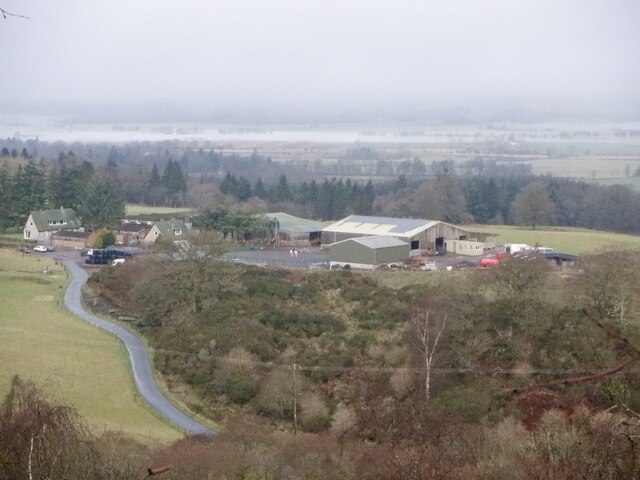
Gartur Wood is a picturesque woodland located in Stirlingshire, Scotland. Covering an area of approximately 200 acres, it is nestled within the scenic countryside, offering visitors a tranquil and immersive experience in nature. The wood is part of the larger Queen Elizabeth Forest Park, which spans over 50,000 acres in the heart of the Loch Lomond and Trossachs National Park.
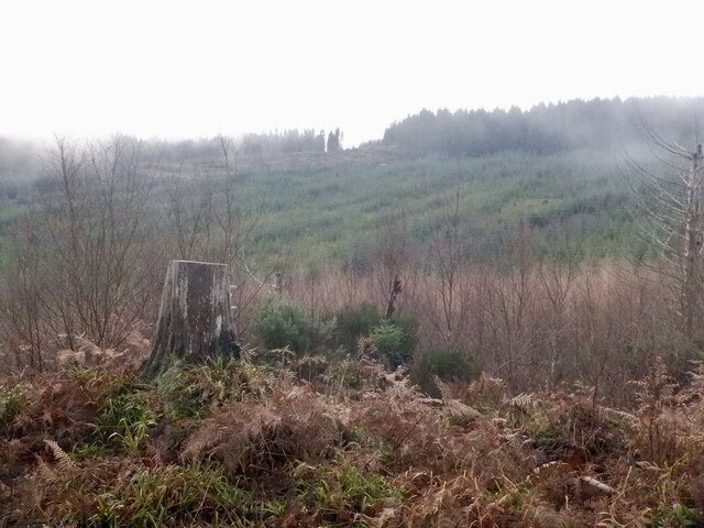
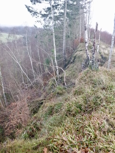
Gartur Wood boasts a diverse range of tree species, including native oak, birch, and Scots pine. The lush greenery provides a habitat for various wildlife, making it a haven for nature enthusiasts and birdwatchers. Visitors may spot red squirrels, roe deer, and an array of bird species such as woodpeckers and owls.
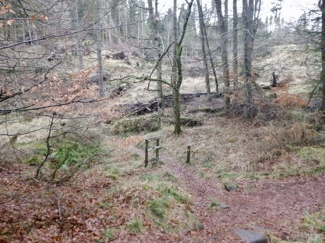
The wood offers a network of well-maintained trails, making it an ideal spot for leisurely walks and family outings. These trails allow visitors to explore the natural beauty of the wood at their own pace, with options ranging from shorter, easier routes to more challenging hikes. Along the way, walkers are treated to breathtaking views of the surrounding landscapes, including the nearby Gartmorn Dam and the Ochil Hills.
In addition to its natural charm, Gartur Wood is also steeped in history. The wood has remnants of ancient settlements and is believed to have been used by local communities for centuries. Archaeological sites and standing stones can be discovered within the wood, providing a glimpse into the area's rich past.
Overall, Gartur Wood in Stirlingshire is a captivating destination that offers a perfect blend of natural beauty, wildlife, and historical significance.
If you have any feedback on the listing, please let us know in the comments section below.
Gartur Wood Images
Images are sourced within 2km of 56.104339/-3.9894191 or Grid Reference NS7691. Thanks to Geograph Open Source API. All images are credited.


Gartur Wood is located at Grid Ref: NS7691 (Lat: 56.104339, Lng: -3.9894191)
Unitary Authority: Stirling
Police Authority: Forth Valley
What 3 Words
///logic.media.pose. Near Stirling
Nearby Locations
Related Wikis

Gillies Hill
Gillies Hill is located west of Stirling and the M9, south of Cambusbarron, and north of the Bannock Burn in Central Scotland. Gillies Hill covers a 140...

Touch House
Touch House is a country house located 4 kilometres (2.5 mi) west of Stirling in central Scotland. It stands at the foot of the Touch Hills, on the south...

Cambusbarron
Cambusbarron is a village in Stirling, Scotland. In the 2001 census, it had a population of 3,224. There is evidence of settlement at the site since the...
Birkhill House, Stirling
Birkhill House is a historic house situated between the city of Stirling and the village of Cambusbarron in central Scotland. == History == There is evidence...
Torbrex Village
Torbrex is a small village in Scotland. Geographically Torbrex is enclosed within Stirling by Cambusbarron to the west, St. Ninians to the south, Livlilands...
Stirling High School
Stirling High School is a state high school for 11- to 18-year-olds run by Stirling Council in Stirling, Scotland. It is one of seven high schools in...

St. Ninians
St. Ninians is a long-standing settlement which is now a district of the city of Stirling in central Scotland. It is located approximately one mile south...

Stirling Smith Art Gallery and Museum
Stirling Smith Art Gallery and Museum, formerly The Smith Institute, is an art and local history museum in Stirling, Scotland. The museum was founded in...
Nearby Amenities
Located within 500m of 56.104339,-3.9894191Have you been to Gartur Wood?
Leave your review of Gartur Wood below (or comments, questions and feedback).