Carmuirs
Settlement in Stirlingshire
Scotland
Carmuirs

Carmuirs is a small village located in the county of Stirlingshire, Scotland. Situated approximately 4 miles east of Falkirk, Carmuirs is nestled in the heart of Central Scotland. The village is situated near the intersection of the A9 and A905 roads, providing easy access to nearby towns and cities.
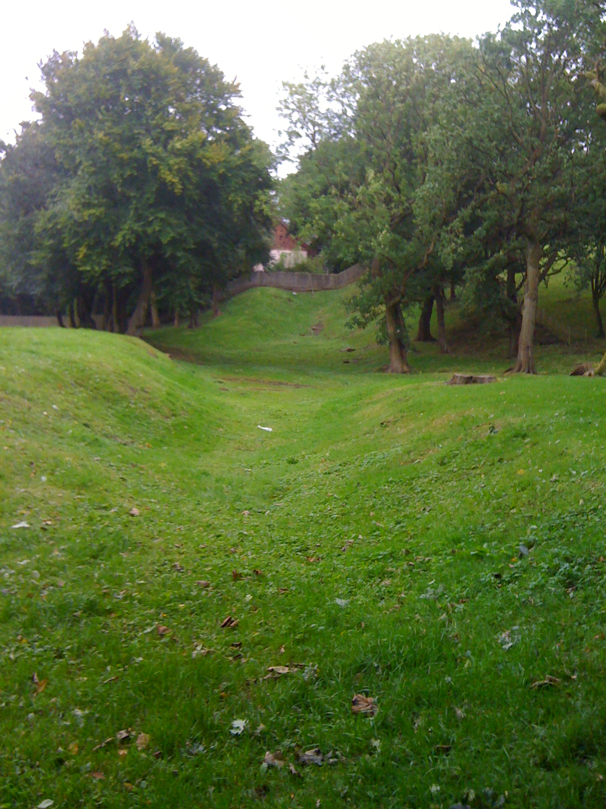
Carmuirs is known for its picturesque countryside and scenic beauty. The surrounding area is predominantly rural, with rolling hills, lush green fields, and charming farmland. The village itself is characterized by a mix of traditional stone-built cottages and more modern residential developments.
Despite its small size, Carmuirs boasts a strong sense of community spirit. The village is home to a close-knit population, with residents taking pride in maintaining a welcoming and friendly atmosphere. The village has a primary school, providing education for local children, and there are several community facilities and amenities, including a local shop and a village hall.
Carmuirs offers a peaceful and tranquil environment, making it an ideal place for those seeking a quieter way of life. The village's rural location provides ample opportunities for outdoor activities, such as walking, cycling, and exploring the nearby woodland areas.
Overall, Carmuirs is a charming and idyllic village in Stirlingshire, Scotland, offering a perfect blend of rural living and convenient access to nearby towns and cities.
If you have any feedback on the listing, please let us know in the comments section below.
Carmuirs Images
Images are sourced within 2km of 56.002349/-3.837423 or Grid Reference NS8580. Thanks to Geograph Open Source API. All images are credited.


Carmuirs is located at Grid Ref: NS8580 (Lat: 56.002349, Lng: -3.837423)
Unitary Authority: Falkirk
Police Authority: Forth Valley
What 3 Words
///diner.impulsive.waxer. Near Larbert, Falkirk
Nearby Locations
Related Wikis

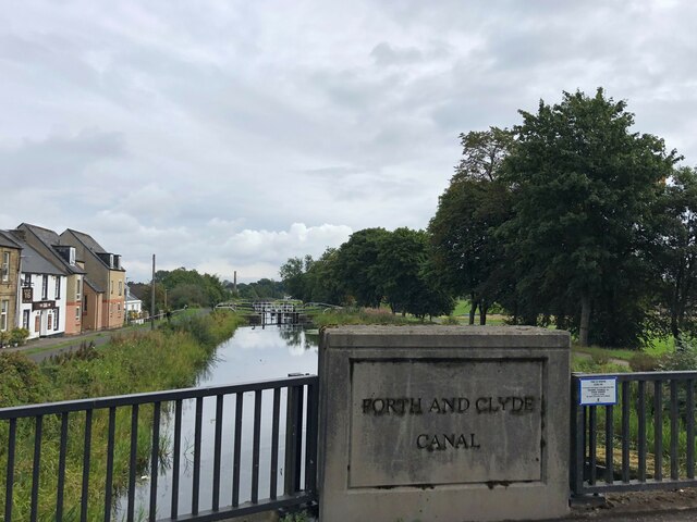
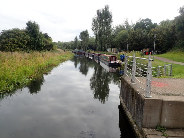
Millennium Link
The Millennium Link is one of the biggest engineering projects ever undertaken by British Waterways. The Union Canal and the Forth & Clyde Canal were originally...

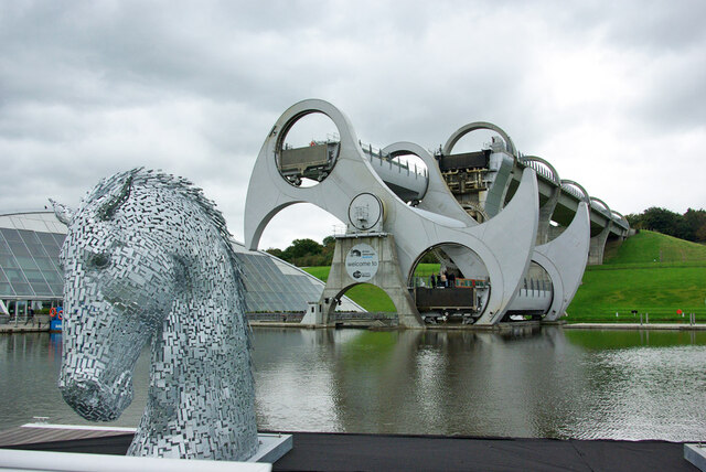
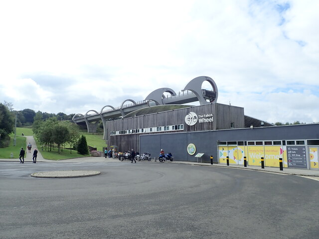
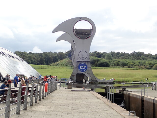
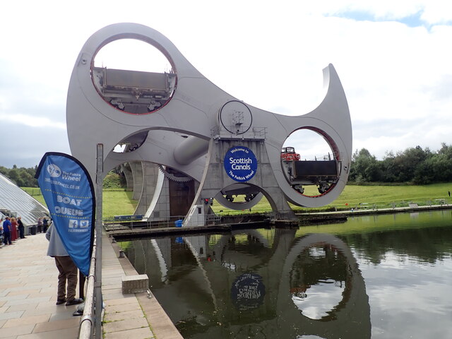
Falkirk Wheel
The Falkirk Wheel is a rotating boat lift in Tamfourhill, Falkirk, in central Scotland, connecting the Forth and Clyde Canal with the Union Canal. It reconnects...
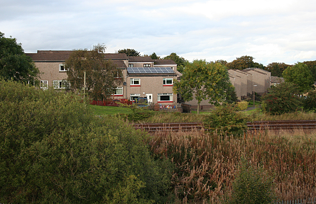
Tamfourhill
Tamfourhill is a working-class residential suburb of Falkirk within the Falkirk (council area), Scotland. It is located approximately 1.5 miles (2.5 kilometres...
Watling Lodge
Watling Lodge was a Roman fortlet on the Antonine Wall in Scotland. It was located near what is now Lock Sixteen on the Forth and Clyde Canal in Falkirk...
Nearby Amenities
Located within 500m of 56.002349,-3.837423Have you been to Carmuirs?
Leave your review of Carmuirs below (or comments, questions and feedback).