Black Wood
Wood, Forest in Kirkcudbrightshire
Scotland
Black Wood
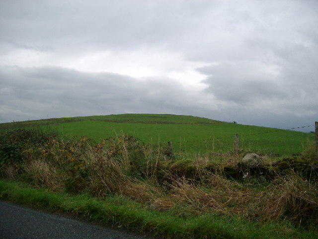
Black Wood is a picturesque forest located in Kirkcudbrightshire, Scotland. Spanning an area of approximately 100 hectares, this woodland offers a diverse range of natural beauty and recreational opportunities. Situated just a few miles east of the town of Kirkcudbright, Black Wood is easily accessible and attracts visitors from both local communities and further afield.
The forest is predominantly composed of native tree species, including oak, beech, and birch. These towering trees create a dense canopy that provides shelter and habitat for a wide variety of wildlife. Visitors to Black Wood may catch glimpses of red squirrels bounding through the branches or spot birds such as woodpeckers, owls, and buzzards.
Several well-maintained trails wind their way through the forest, allowing visitors to explore its charms. These paths cater to both leisurely strolls and more challenging hikes, providing options for all abilities. Along the way, walkers will discover tranquil ponds, babbling brooks, and open glades, offering opportunities for peaceful reflection or a picnic surrounded by nature.
The forest is managed by a local conservation group, who work tirelessly to protect and enhance its natural features. They conduct regular maintenance to ensure the paths are clear and safe to use, as well as implementing sustainable forestry practices to maintain the health and diversity of the woodland.
Black Wood, with its stunning scenery and abundant wildlife, is a hidden gem in Kirkcudbrightshire, drawing nature lovers, hikers, and photographers to its peaceful embrace. Whether one seeks solitude among ancient trees or an invigorating outdoor adventure, this forest offers a captivating experience for all who venture within its borders.
If you have any feedback on the listing, please let us know in the comments section below.
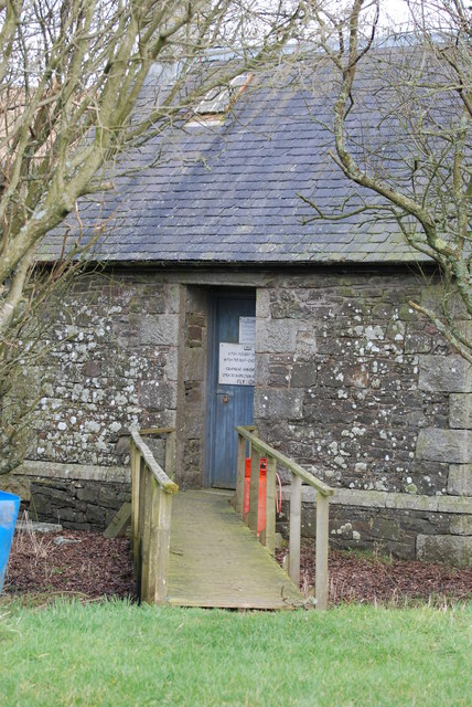
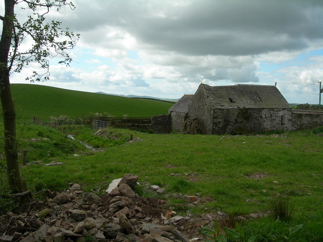
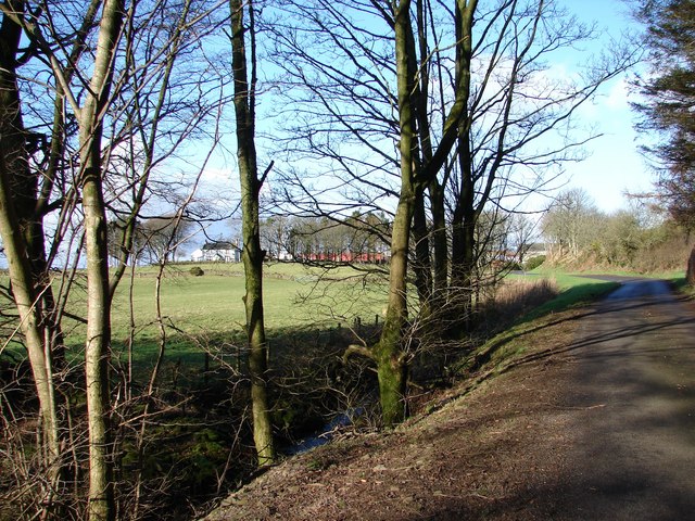
Black Wood Images
Images are sourced within 2km of 54.990335/-3.938385 or Grid Reference NX7667. Thanks to Geograph Open Source API. All images are credited.


Black Wood is located at Grid Ref: NX7667 (Lat: 54.990335, Lng: -3.938385)
Unitary Authority: Dumfries and Galloway
Police Authority: Dumfries and Galloway
What 3 Words
///plea.facing.passports. Near Castle Douglas, Dumfries & Galloway
Nearby Locations
Related Wikis

Kilquhanity School
Kilquhanity School was one of several free schools to have been established in the United Kingdom in the twentieth century. Others include Sands School...

Crossmichael
Crossmichael (Scottish Gaelic: Crois Mhìcheil) is a small village on the east side of Loch Ken in the historical county of Kirkcudbrightshire, about 4...

Crossmichael Parish Church
Crossmichael Parish Church is an ecclesiastical building in Crossmichael, Dumfries and Galloway, Scotland. It lies on a knoll, which was probably an ancient...

Crossmichael railway station
Crossmichael railway station served the village of Crossmichael, Kirkcudbrightshire, Scotland, from 1861 to 1965 on the Portpatrick and Wigtownshire Joint...

Kirkpatrick Durham
Kirkpatrick Durham (Scottish Gaelic: Cill Phàdraig) is a village and parish in the historical county of Kirkcudbrightshire, Dumfries and Galloway, south...

A75 road
The A75 is a primary trunk road in Scotland, linking Stranraer and its ferry ports at Cairnryan with the A74(M) at Gretna, close to the border with England...

Kirkcudbrightshire
Kirkcudbrightshire ( kur-KOO-brish-ər, -eer; Scots: [kərˈku(d)brəʃər]), or the County of Kirkcudbright or the Stewartry of Kirkcudbright is one of the...

Abbey Yard
Abbey Yard is a location in Dumfries and Galloway, Scotland. Abbey Yard is near Glenlochar in the historical county of Kirkcudbrightshire in the Dumfries...
Nearby Amenities
Located within 500m of 54.990335,-3.938385Have you been to Black Wood?
Leave your review of Black Wood below (or comments, questions and feedback).