Auchendolly Wood
Wood, Forest in Kirkcudbrightshire
Scotland
Auchendolly Wood
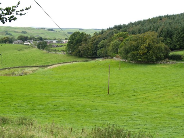
Auchendolly Wood is a picturesque woodland located in Kirkcudbrightshire, Scotland. Covering an area of approximately 50 hectares, it is a significant natural attraction in the region. The wood is situated about 7 miles northwest of Kirkcudbright, near the village of Borgue.
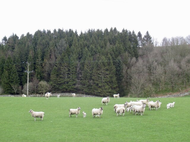
The wood is predominantly composed of native broadleaf trees, including oak, birch, and beech. These trees create a diverse and vibrant ecosystem, providing habitat for a variety of wildlife species. Visitors to Auchendolly Wood can expect to encounter a range of bird species, such as woodpeckers, owls, and various woodland songbirds.
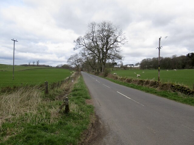
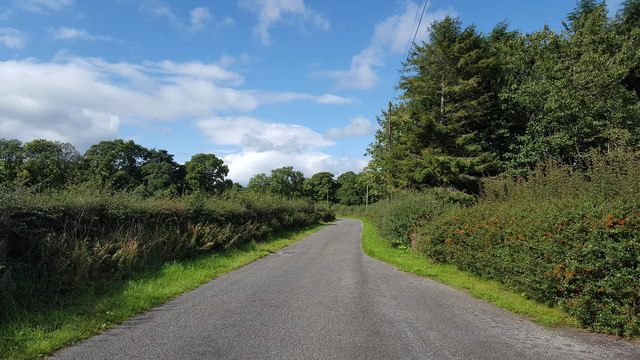
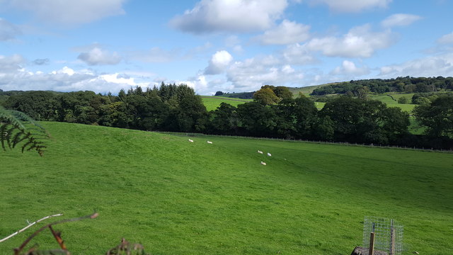
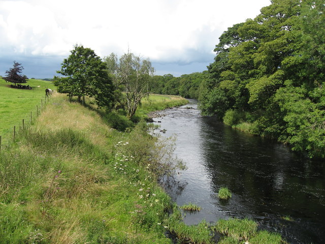
The wood offers several walking trails, allowing visitors to explore its natural beauty. These paths wind through the woodland, meandering alongside babbling streams and offering picturesque views of the surrounding countryside. The trails are well-maintained and suitable for all ages and fitness levels.
Auchendolly Wood is particularly popular during the spring and summer months when the woodland comes alive with an array of colorful wildflowers. Bluebells carpet the forest floor, creating a stunning display, while primroses and violets add splashes of color to the undergrowth.
The wood also has historical significance, with remnants of ancient settlements and structures scattered throughout. Archaeological investigations have uncovered evidence of prehistoric activity in the area, including the remains of a Bronze Age burial cairn.
Overall, Auchendolly Wood is a tranquil and enchanting woodland, providing a haven for nature enthusiasts and those seeking a peaceful escape amidst the beauty of Kirkcudbrightshire's countryside.
If you have any feedback on the listing, please let us know in the comments section below.
Auchendolly Wood Images
Images are sourced within 2km of 55.003633/-3.9397145 or Grid Reference NX7669. Thanks to Geograph Open Source API. All images are credited.


Auchendolly Wood is located at Grid Ref: NX7669 (Lat: 55.003633, Lng: -3.9397145)
Unitary Authority: Dumfries and Galloway
Police Authority: Dumfries and Galloway
What 3 Words
///dragonfly.lied.loss. Near Castle Douglas, Dumfries & Galloway
Nearby Locations
Related Wikis

Kilquhanity School
Kilquhanity School was one of several free schools to have been established in the United Kingdom in the twentieth century. Others include Sands School...

Glenlair House
Glenlair, near the village of Corsock in the historical county of Kirkcudbrightshire, in Dumfries and Galloway, was the home of the physicist James Clerk...

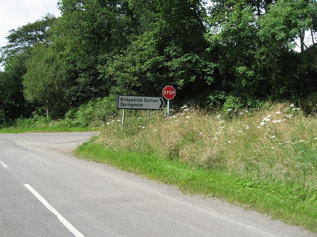
Kirkpatrick Durham
Kirkpatrick Durham (Scottish Gaelic: Cill Phàdraig) is a village and parish in the historical county of Kirkcudbrightshire, Dumfries and Galloway, south...

Kirkcudbrightshire
Kirkcudbrightshire ( kur-KOO-brish-ər, -eer; Scots: [kərˈku(d)brəʃər]), or the County of Kirkcudbright or the Stewartry of Kirkcudbright is one of the...

Crossmichael
Crossmichael (Scottish Gaelic: Crois Mhìcheil) is a small village on the east side of Loch Ken in the historical county of Kirkcudbrightshire, about 4...

Crossmichael Parish Church
Crossmichael Parish Church is an ecclesiastical building in Crossmichael, Dumfries and Galloway, Scotland. It lies on a knoll, which was probably an ancient...

Crossmichael railway station
Crossmichael railway station served the village of Crossmichael, Kirkcudbrightshire, Scotland, from 1861 to 1965 on the Portpatrick and Wigtownshire Joint...

Springholm
Springholm is a village in the historical county of Kirkcudbrightshire in Dumfries and Galloway, Scotland. It is located 14 miles (23 km) west of Dumfries...
Nearby Amenities
Located within 500m of 55.003633,-3.9397145Have you been to Auchendolly Wood?
Leave your review of Auchendolly Wood below (or comments, questions and feedback).