Glenlair Plantation
Wood, Forest in Kirkcudbrightshire
Scotland
Glenlair Plantation
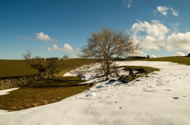
Glenlair Plantation is a historic woodland estate located in Kirkcudbrightshire, Scotland. Situated amidst the picturesque landscape of the region, the plantation is renowned for its lush woodlands and diverse range of tree species.
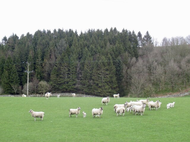
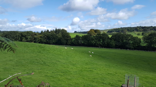
Covering an area of approximately 200 acres, Glenlair Plantation boasts a rich natural heritage, with a variety of native and exotic trees creating a captivating forest environment. The plantation is home to a wide range of tree species, including oak, beech, ash, and birch, which flourish in the fertile soil and favorable climate of the region.
In addition to its natural beauty, Glenlair Plantation holds historical significance. The estate dates back to the 18th century and was originally established as a private estate for the local landowning family. Over the years, the plantation has witnessed various changes in ownership and land use, but it has retained its charm and remains a beloved destination for nature enthusiasts and history buffs alike.
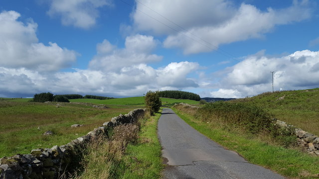
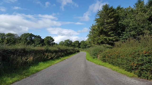
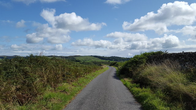
Visitors to Glenlair Plantation can explore the woodland through a network of well-maintained walking trails, allowing them to immerse themselves in its tranquil ambiance. The plantation offers a peaceful retreat, providing opportunities for walking, birdwatching, and enjoying the vibrant colors of the changing seasons.
Overall, Glenlair Plantation in Kirkcudbrightshire is a captivating woodland estate, offering both natural beauty and historical significance. With its diverse tree species and well-preserved trails, it provides a memorable experience for all who visit.
If you have any feedback on the listing, please let us know in the comments section below.
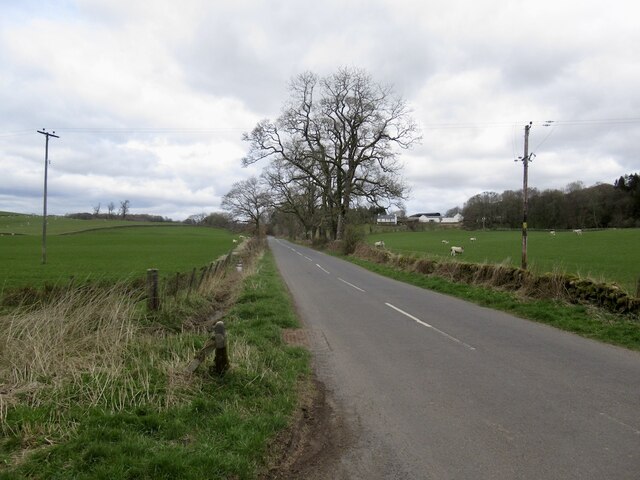
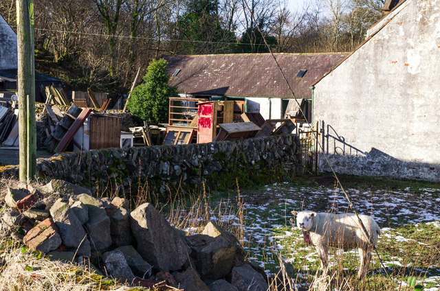
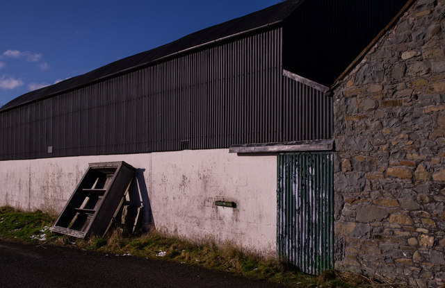
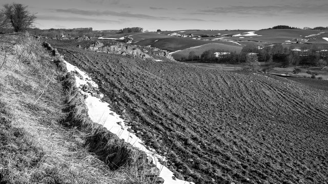
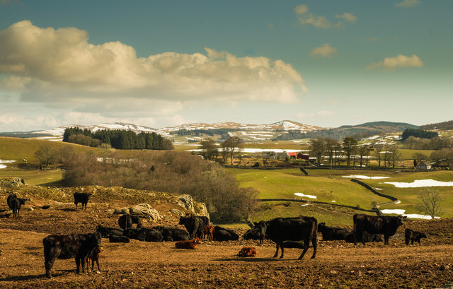
Glenlair Plantation Images
Images are sourced within 2km of 55.028687/-3.9444923 or Grid Reference NX7572. Thanks to Geograph Open Source API. All images are credited.


Glenlair Plantation is located at Grid Ref: NX7572 (Lat: 55.028687, Lng: -3.9444923)
Unitary Authority: Dumfries and Galloway
Police Authority: Dumfries and Galloway
What 3 Words
///spillage.motivator.unzips. Near Castle Douglas, Dumfries & Galloway
Nearby Locations
Related Wikis

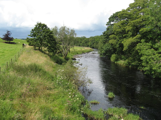
Glenlair House
Glenlair, near the village of Corsock in the historical county of Kirkcudbrightshire, in Dumfries and Galloway, was the home of the physicist James Clerk...

Kilquhanity School
Kilquhanity School was one of several free schools to have been established in the United Kingdom in the twentieth century. Others include Sands School...

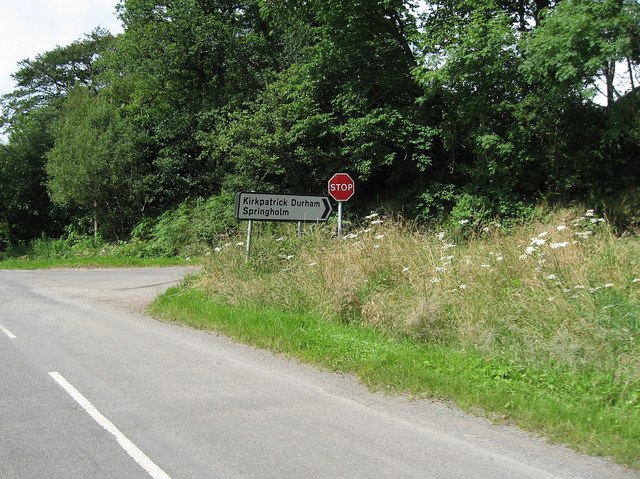
Kirkpatrick Durham
Kirkpatrick Durham (Scottish Gaelic: Cill Phàdraig) is a village and parish in the historical county of Kirkcudbrightshire, Dumfries and Galloway, south...

Corsock
Corsock (Scottish Gaelic: Corsag) is a village in the historical county of Kirkcudbrightshire, Dumfries and Galloway, south-west Scotland. It is located...
Nearby Amenities
Located within 500m of 55.028687,-3.9444923Have you been to Glenlair Plantation?
Leave your review of Glenlair Plantation below (or comments, questions and feedback).