Crogo Plantation
Wood, Forest in Kirkcudbrightshire
Scotland
Crogo Plantation
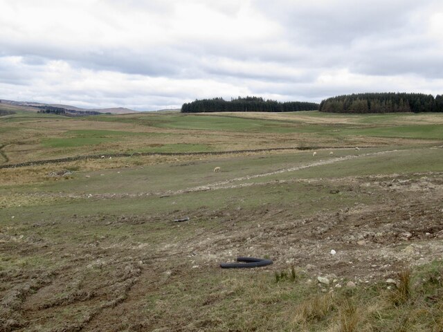
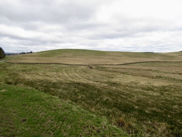
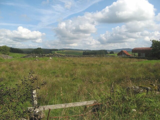
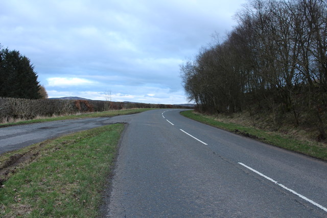
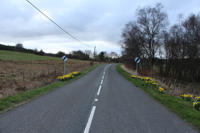
Crogo Plantation is a sprawling woodland located in Kirkcudbrightshire, Scotland. Covering an extensive area, the plantation is renowned for its diverse range of trees and abundant natural beauty. Situated near the village of Crogo, the plantation is a popular destination for nature enthusiasts, hikers, and birdwatchers.
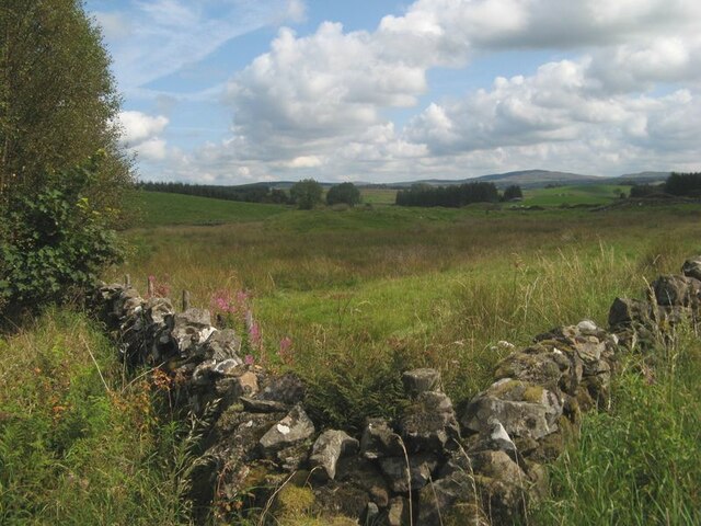
The woodland of Crogo Plantation consists predominantly of native species such as oak, beech, and birch, which create a rich tapestry of colors throughout the seasons. The dense foliage provides a sanctuary for a variety of wildlife, including red squirrels, deer, and numerous species of birds.
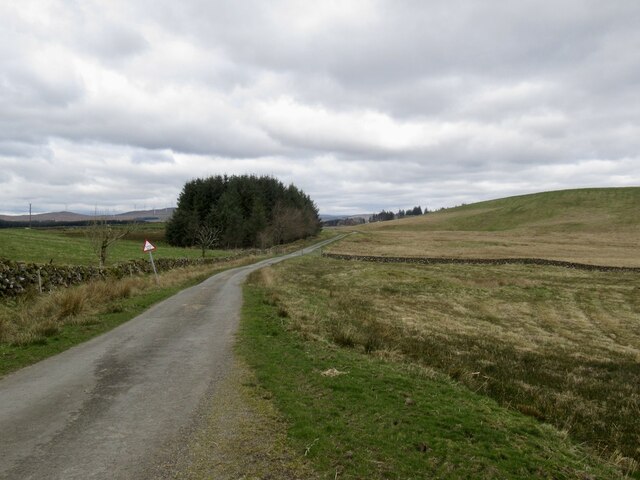
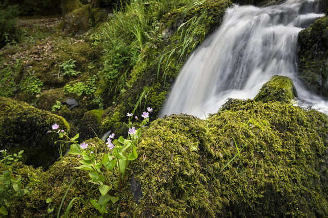
Visitors to Crogo Plantation can explore the woodland through a network of well-maintained trails. These paths offer stunning views of the surrounding countryside and provide an opportunity to immerse oneself in the tranquility of nature. The plantation is also home to a small lake, adding to its picturesque charm.
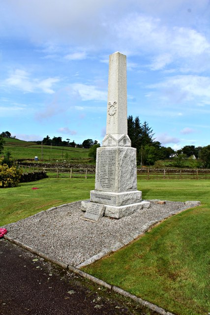
For those interested in the local history, Crogo Plantation has ties to the region's past. It was once part of an estate owned by the local aristocracy and played a significant role in the timber industry during the 19th century.
Crogo Plantation is open to the public year-round, providing a peaceful retreat for those seeking solace in nature. Whether it's a leisurely stroll to admire the flora and fauna or a more challenging hike, the plantation offers something for everyone. With its stunning landscapes and abundant wildlife, Crogo Plantation is a must-visit destination for nature lovers in Kirkcudbrightshire.
If you have any feedback on the listing, please let us know in the comments section below.
Crogo Plantation Images
Images are sourced within 2km of 55.074183/-3.9541083 or Grid Reference NX7577. Thanks to Geograph Open Source API. All images are credited.
Crogo Plantation is located at Grid Ref: NX7577 (Lat: 55.074183, Lng: -3.9541083)
Unitary Authority: Dumfries and Galloway
Police Authority: Dumfries and Galloway
What 3 Words
///conductor.fabric.snappy. Near Castle Douglas, Dumfries & Galloway
Nearby Locations
Related Wikis

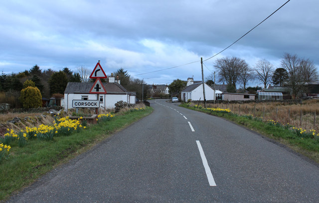
Corsock
Corsock (Scottish Gaelic: Corsag) is a village in the historical county of Kirkcudbrightshire, Dumfries and Galloway, south-west Scotland. It is located...

Dumfries and Galloway
Dumfries and Galloway (Scots: Dumfries an Gallowa; Scottish Gaelic: Dùn Phrìs is Gall-Ghaidhealaibh) is one of the 32 unitary council areas of Scotland...

Glenlair House
Glenlair, near the village of Corsock in the historical county of Kirkcudbrightshire, in Dumfries and Galloway, was the home of the physicist James Clerk...

Craigenputtock
Craigenputtock (usually spelled by the Carlyles as Craigenputtoch) is an estate in Scotland where Thomas Carlyle lived from 1828 to 1834. He wrote several...

Kilquhanity School
Kilquhanity School was one of several free schools to have been established in the United Kingdom in the twentieth century. Others include Sands School...

Loch Skae
Loch Skae is a small, upland freshwater loch to the north of Blackcraig Hill, approximately 18 miles (29 km) west of Dumfries, Scotland, 0.5 mi (0.80 km...

Kirkpatrick Durham
Kirkpatrick Durham (Scottish Gaelic: Cill Phàdraig) is a village and parish in the historical county of Kirkcudbrightshire, Dumfries and Galloway, south...

Loch Howie
Loch Howie is a small, narrow, upland freshwater loch on the north side of Blackcraig Hill, approximately 18 miles (29 km) west of Dumfries, Scotland....
Nearby Amenities
Located within 500m of 55.074183,-3.9541083Have you been to Crogo Plantation?
Leave your review of Crogo Plantation below (or comments, questions and feedback).