Gledstane Wood

Wood, Forest in Stirlingshire

Scotland

Gledstane Wood

High Banton Picturesque cottages in the old village of Banton.
High Banton Credit: Stephen Sweeney

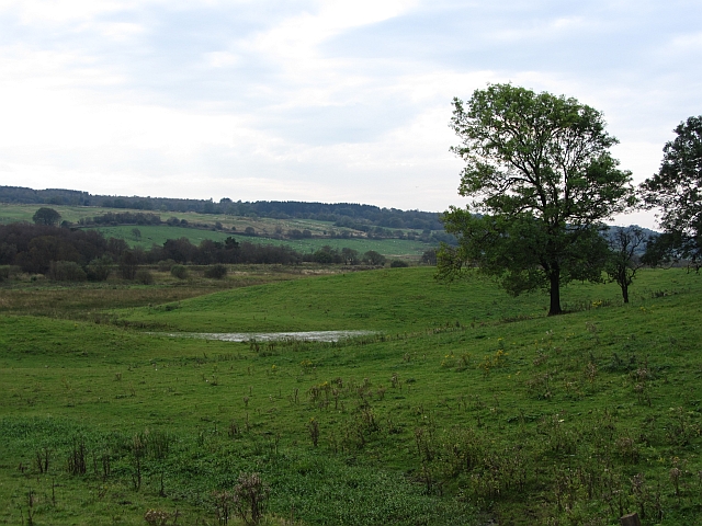
Gledstane Wood is a picturesque forest located in Stirlingshire, Scotland. Covering an area of approximately 50 hectares, it is a popular destination for nature enthusiasts and those seeking tranquility amidst the beauty of the Scottish countryside.

The woodland is predominantly composed of native broadleaf trees, including oak, birch, and rowan. These trees provide a haven for a diverse array of wildlife, making Gledstane Wood an important habitat for many species. Visitors may have the opportunity to spot various bird species such as woodpeckers, tits, and finches, as well as small mammals like red squirrels and badgers.

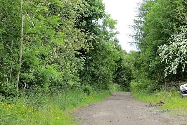
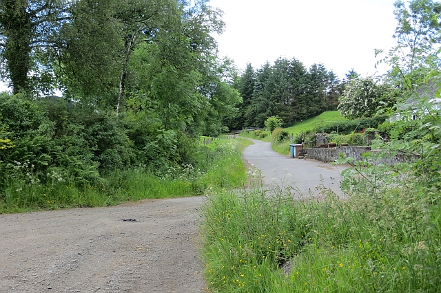
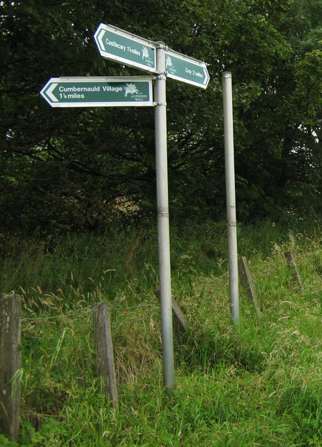
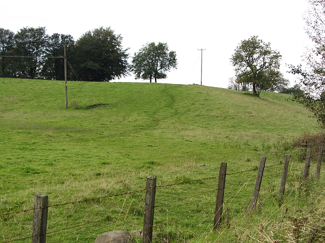
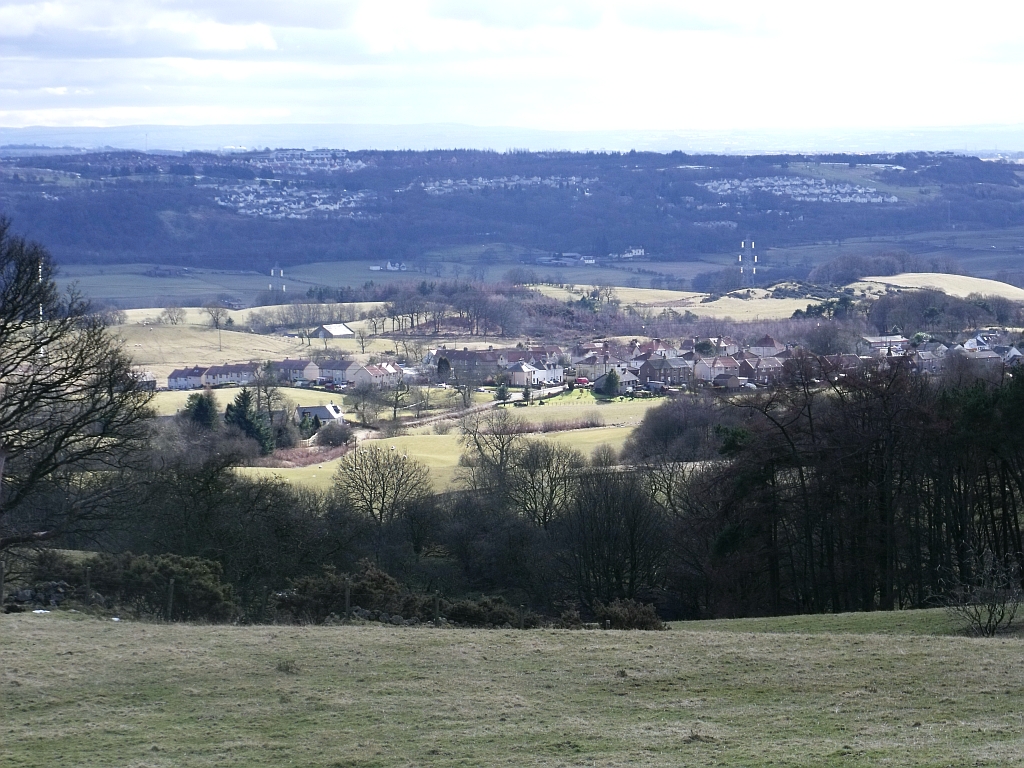
The wood is crisscrossed with a network of well-maintained footpaths, allowing visitors to explore its natural wonders at their leisure. These paths lead to several viewpoints and clearings that offer stunning vistas of the surrounding landscape, including the nearby Campsie Fells and the meandering River Forth.

Gledstane Wood also boasts a rich historical heritage. Remnants of ancient settlements and burial sites can be found within the forest, dating back thousands of years. These archaeological features provide valuable insights into the lives of the people who once called this area home.

Whether it's a leisurely stroll, a bird-watching expedition, or a glimpse into the past, Gledstane Wood offers a captivating experience for visitors of all ages. With its diverse ecosystem and breathtaking scenery, this woodland gem in Stirlingshire is a true natural treasure.

If you have any feedback on the listing, please let us know in the comments section below.

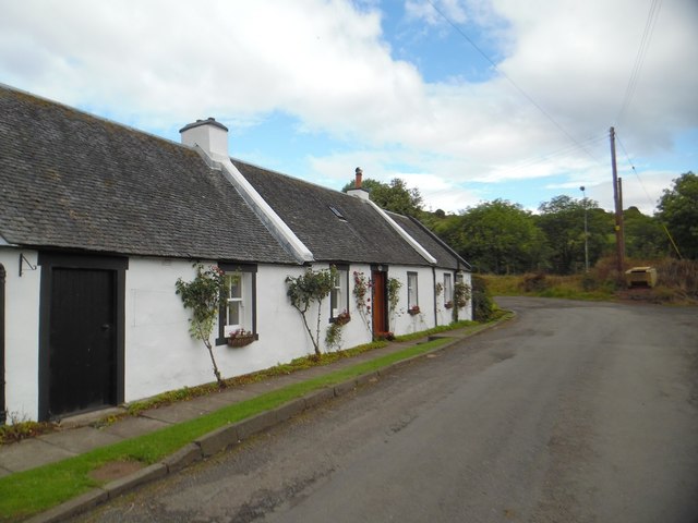
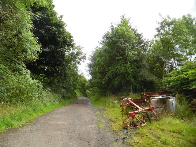
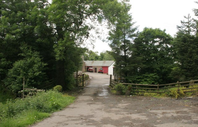
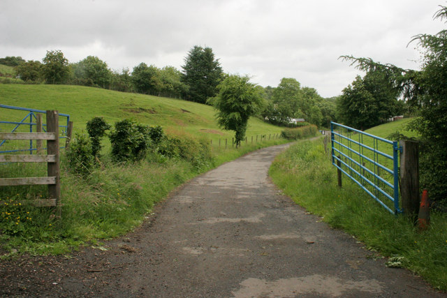
Gledstane Wood Images

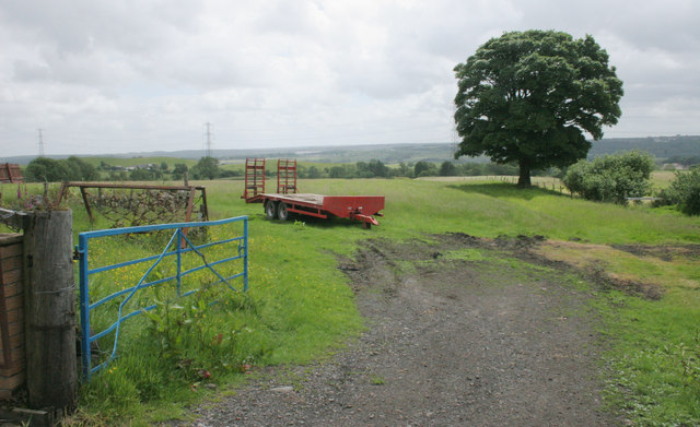
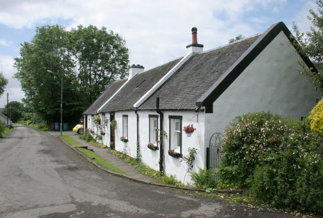
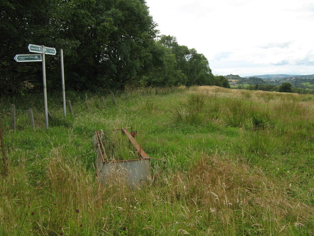
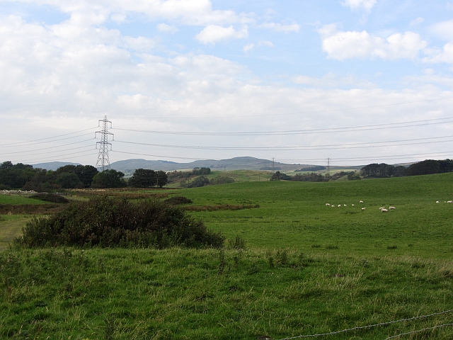
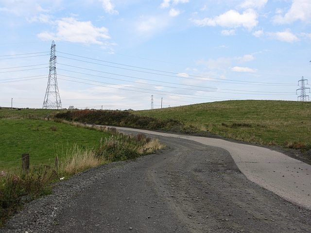
Images are sourced within 2km of 55.983719/-4.0044592 or Grid Reference NS7578. Thanks to Geograph Open Source API. All images are credited.

High Banton Picturesque cottages in the old village of Banton.
High Banton
Picturesque cottages in the old village of Banton.
Forest track east of High Banton
Glenhead The end of the road.
Glenhead
The end of the road.
Gates, Glenhead The road leads from Glenhead to High Banton.
Gates, Glenhead
The road leads from Glenhead to High Banton.
Farm trailer, High Banton
Cottages, High Banton
Small plantation and grazing sheep west of Glenhead A small rectangular conifer plantation, with a lone deciduous tree in the foreground.
Small plantation and grazing sheep west of Glenhead
A small rectangular conifer plantation, with a lone deciduous tree in the foreground.
Track, Banton Mains
Track, Banton Mains
Road, High Banton
Road, High Banton
Signpost at Westerwood Farm A new signpost giving directions and distances to
Castlecary, The Village and Croy.

It's on the course of The Antonine Wall. 
Indeed that is the reason for the signpost being here.

See <a title="www.geograph.org.uk/photo/2559345" href="https://www.geograph.org.uk/photo/2559345">Link</a> for a closer look.
Signpost at Westerwood Farm
A new signpost giving directions and distances to Castlecary, The Village and Croy. It's on the course of The Antonine Wall. Indeed that is the reason for the signpost being here. See Link for a closer look.
Signpost at Westerwood Farm A new signpost which has recently sprouted
on the path of The Antonine Wall.

See also <a title="www.geograph.org.uk/photo/2559328" href="https://www.geograph.org.uk/photo/2559328">Link</a>
Signpost at Westerwood Farm
A new signpost which has recently sprouted on the path of The Antonine Wall. See also Link
Grassland, Auchincloch Grazing on the lower slopes of the Kilsyth Hills.
Grassland, Auchincloch
Grazing on the lower slopes of the Kilsyth Hills.
Cowden Hill Quarry road A widened road, one half is concrete, the other newer bit loose surfaced.
Cowden Hill Quarry road
A widened road, one half is concrete, the other newer bit loose surfaced.
A wet hollow, Auchincloch Hummocky ground with wet depressions above the much more marshy ground beside the Forth and Clyde Canal.
A wet hollow, Auchincloch
Hummocky ground with wet depressions above the much more marshy ground beside the Forth and Clyde Canal.
Farmland, Kelvinhead The signifigance of the name Kelvinhead passed me by when I was there. This is not just the upper reaches of one of Glasgow's famous rivers, but the east - west watershed of Scotland.

Strictly speaking this field is just west of the watershed, but I expect Dave Hewitt and those who followed him doing the epic walk would have used the road to  Banton beside this field.
Farmland, Kelvinhead
The signifigance of the name Kelvinhead passed me by when I was there. This is not just the upper reaches of one of Glasgow's famous rivers, but the east - west watershed of Scotland. Strictly speaking this field is just west of the watershed, but I expect Dave Hewitt and those who followed him doing the epic walk would have used the road to Banton beside this field.
Main Street, Banton Approaching the village from the south.
Main Street, Banton
Approaching the village from the south.
Andrew Dow's Wood A woodland, part of the Central Scotland Forest, now established on the edge of Banton.
Andrew Dow's Wood
A woodland, part of the Central Scotland Forest, now established on the edge of Banton.
The Swan Inn Pub in the centre of Banton.
The Swan Inn
Pub in the centre of Banton.
Show me another place!

Gledstane Wood is located at Grid Ref: NS7578 (Lat: 55.983719, Lng: -4.0044592)

Unitary Authority: North Lanarkshire

Police Authority: Lanarkshire

What 3 Words

///flattered.badge.colonies. Near Banknock, Falkirk

Related Wikis

Kelvinhead

Kelvinhead is a small hamlet in the vicinity of the village of Banton in Scotland. Located close to the source of the River Kelvin, it is little more than...

Banton, North Lanarkshire

Banton is a small village situated near Kilsyth in North Lanarkshire, Scotland. == History == The Covenanter army under General William Baillie formed...

Battle of Kilsyth

The Battle of Kilsyth, fought on 15 August 1645 near Kilsyth, was an engagement of the Wars of the Three Kingdoms. The largest battle of the conflict in...

Banton Loch

Banton Loch, also known as Kilsyth Loch, Townhead Reservoir and once nicknamed Bakers' Loch, is an artificial freshwater lake located to the east of Kilsyth...

Nearby Amenities

Located within 500m of 55.983719,-4.0044592
Design: barrel
Power: tower
Lat/Long: 55.9794026/-4.0030103
Banton Brick Works
Historic: yes
Lat/Long: 55.9850428/-4.001749
Power: pole
Lat/Long: 55.9816957/-4.0099122
Power: pole
Lat/Long: 55.9823717/-4.0090143
Power: pole
Lat/Long: 55.9829835/-4.0082206
Power: pole
Lat/Long: 55.9836245/-4.0074061
Power: pole
Lat/Long: 55.9844007/-4.0063895
Power: pole
Lat/Long: 55.9844076/-4.0048
Power: pole
Lat/Long: 55.984558/-4.0033439
Power: pole
Lat/Long: 55.9849321/-4.0017836
Power: pole
Lat/Long: 55.9852584/-4.0004545
Power: pole
Lat/Long: 55.9855951/-3.9989546
Power: pole
Lat/Long: 55.985869/-3.9978026
Power: pole
Lat/Long: 55.987744/-4.0077082
Power: pole
Lat/Long: 55.9877102/-4.0075457
Power: pole
Lat/Long: 55.9874899/-4.0066562
Power: pole
Lat/Long: 55.9871683/-4.005775
Power: pole
Lat/Long: 55.9867313/-4.0045521
Power: pole
Lat/Long: 55.9863142/-4.0034293
Power: pole
Lat/Long: 55.9860321/-4.0026481
Power: pole
Lat/Long: 55.9857548/-4.0018836
Power: pole
Lat/Long: 55.9855019/-4.0011607
Power: pole
Lat/Long: 55.9851558/-4.000042
Power: pole
Lat/Long: 55.9849752/-3.9991129
Power: pole
Lat/Long: 55.9847619/-3.998188
Power: pole
Lat/Long: 55.9846023/-3.9971193
Power: pole
Lat/Long: 55.9841151/-3.9973714
Power: pole
Lat/Long: 55.9836047/-3.9976401
Power: pole
Lat/Long: 55.9825605/-3.9982255
Power: pole
Lat/Long: 55.9877183/-4.0018794
Power: pole
Lat/Long: 55.9870658/-4.0026127
Power: pole
Lat/Long: 55.9865892/-4.0031502
The data included in this document is from www.openstreetmap.org. The data is made available under ODbL.

Have you been to Gledstane Wood?

Leave your review of Gledstane Wood below (or comments, questions and feedback).