Erncrogo Plantation
Wood, Forest in Kirkcudbrightshire
Scotland
Erncrogo Plantation
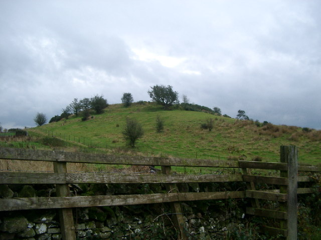
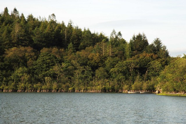
Erncrogo Plantation is a sprawling woodland located in Kirkcudbrightshire, Scotland. Covering an extensive area of land, it is renowned for its lush greenery, diverse flora, and tranquil atmosphere. The plantation is nestled within the picturesque countryside of Kirkcudbrightshire, offering visitors a breathtaking natural retreat.
The woodland is predominantly composed of a variety of trees, including oak, birch, beech, and pine, which create a rich tapestry of colors throughout the seasons. The dense canopy provides ample shade during hot summer months and shelters the woodland floor, fostering the growth of a vibrant undergrowth of ferns, mosses, and wildflowers.
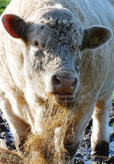
Erncrogo Plantation is home to a wide array of wildlife, including red squirrels, deer, and a plethora of bird species. The plantation's diverse ecosystem attracts birdwatchers and nature enthusiasts, who come to witness the enchanting sights and sounds of the woodland inhabitants.
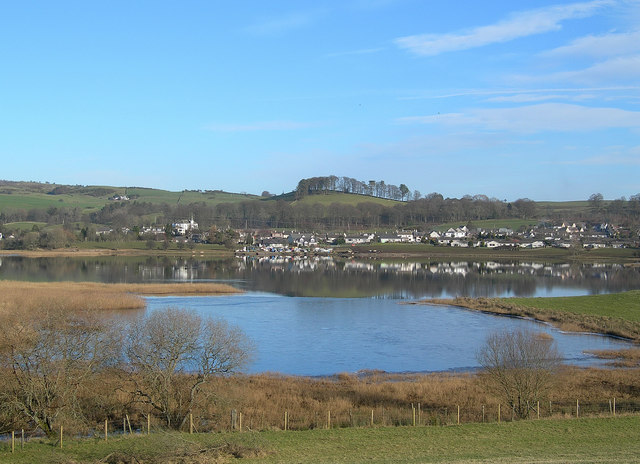
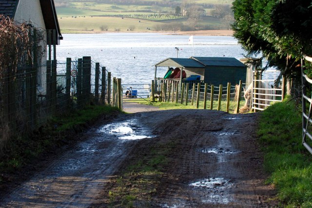
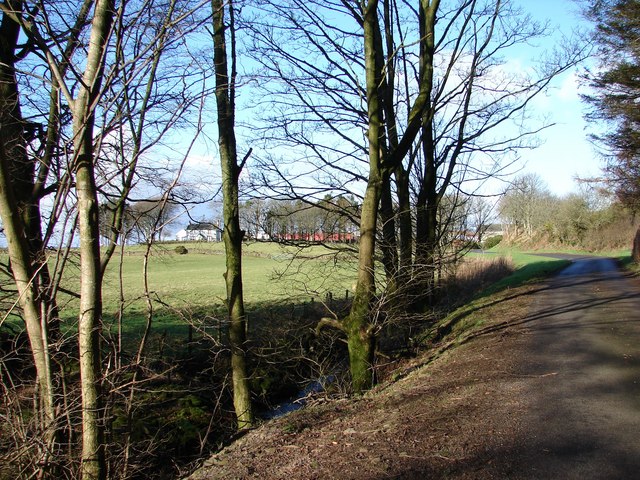
Visitors can explore Erncrogo Plantation through a network of well-maintained footpaths and trails, allowing them to immerse themselves in the beauty of the surroundings. These paths offer panoramic views of the rolling hills and nearby lochs, adding to the plantation's allure.
Erncrogo Plantation is a haven for outdoor activities such as hiking, picnicking, and wildlife spotting. It also provides a serene setting for relaxation and mindfulness, with designated areas for meditation and yoga.
Overall, Erncrogo Plantation in Kirkcudbrightshire is a captivating woodland that offers a tranquil escape from the hustle and bustle of daily life. Its natural beauty, diverse wildlife, and well-maintained trails make it a favorite destination for nature lovers and outdoor enthusiasts alike.
If you have any feedback on the listing, please let us know in the comments section below.
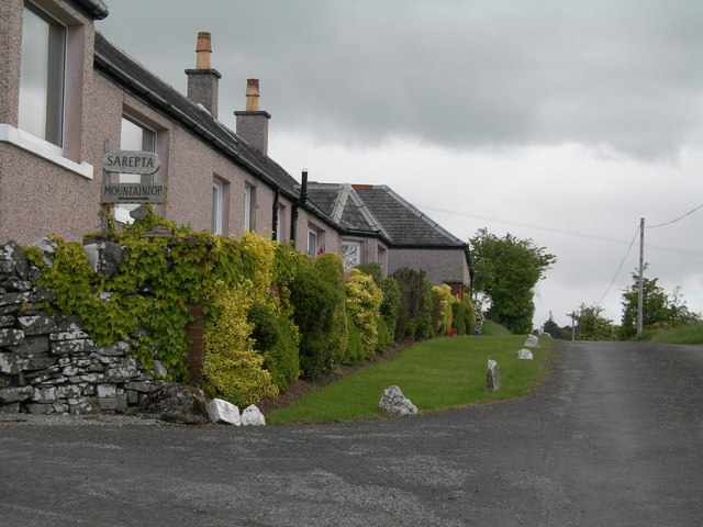
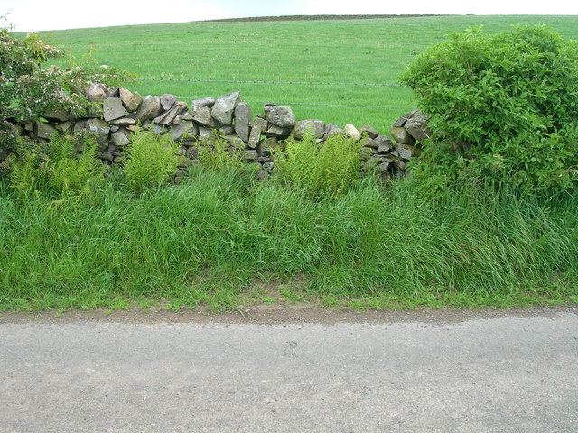
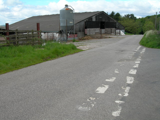
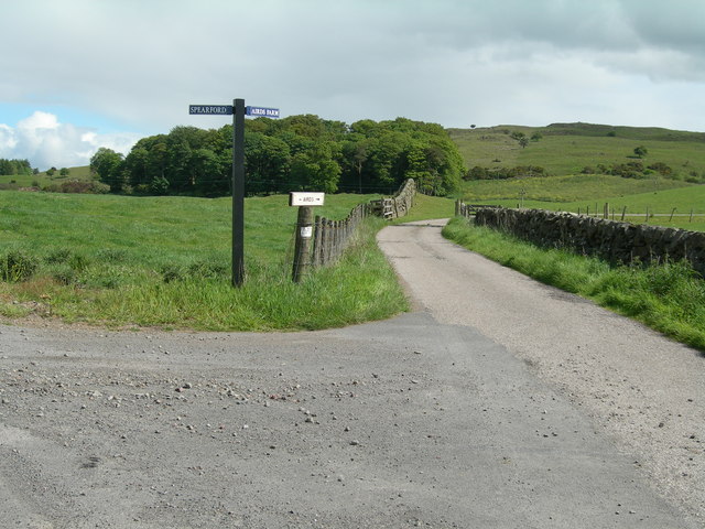
Erncrogo Plantation Images
Images are sourced within 2km of 54.98721/-3.9644934 or Grid Reference NX7467. Thanks to Geograph Open Source API. All images are credited.


Erncrogo Plantation is located at Grid Ref: NX7467 (Lat: 54.98721, Lng: -3.9644934)
Unitary Authority: Dumfries and Galloway
Police Authority: Dumfries and Galloway
What 3 Words
///help.spearhead.skirting. Near Castle Douglas, Dumfries & Galloway
Nearby Locations
Related Wikis

Crossmichael
Crossmichael (Scottish Gaelic: Crois Mhìcheil) is a small village on the east side of Loch Ken in the historical county of Kirkcudbrightshire, about 4...

Crossmichael Parish Church
Crossmichael Parish Church is an ecclesiastical building in Crossmichael, Dumfries and Galloway, Scotland. It lies on a knoll, which was probably an ancient...

Crossmichael railway station
Crossmichael railway station served the village of Crossmichael, Kirkcudbrightshire, Scotland, from 1861 to 1965 on the Portpatrick and Wigtownshire Joint...

Balmaghie
Balmaghie ( bal-mə-GEE), from the Scottish Gaelic Baile Mhic Aoidh, is an ecclesiastical and civil parish in the historical county of Kirkcudbrightshire...

Kirkcudbrightshire
Kirkcudbrightshire ( kur-KOO-brish-ər, -eer; Scots: [kərˈku(d)brəʃər]), or the County of Kirkcudbright or the Stewartry of Kirkcudbright is one of the...

Abbey Yard
Abbey Yard is a location in Dumfries and Galloway, Scotland. Abbey Yard is near Glenlochar in the historical county of Kirkcudbrightshire in the Dumfries...

Glenlochar
Glenlochar (Gd: Gleann Lochair) is a hamlet on the western bank of the River Dee in the parish of Balmaghie in the historical county of Kirkcudbrightshire...

Kilquhanity School
Kilquhanity School was one of several free schools to have been established in the United Kingdom in the twentieth century. Others include Sands School...
Nearby Amenities
Located within 500m of 54.98721,-3.9644934Have you been to Erncrogo Plantation?
Leave your review of Erncrogo Plantation below (or comments, questions and feedback).