Cornton Wood

Wood, Forest in Perthshire

Scotland

Cornton Wood

Play area at Doune A small park, with public conveniences, off King Street.
Play area at Doune Credit: M J Richardson

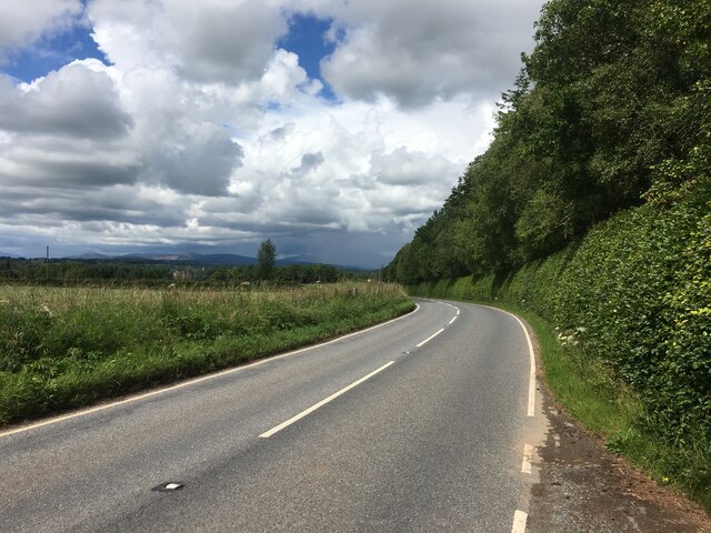
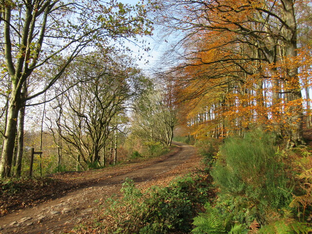
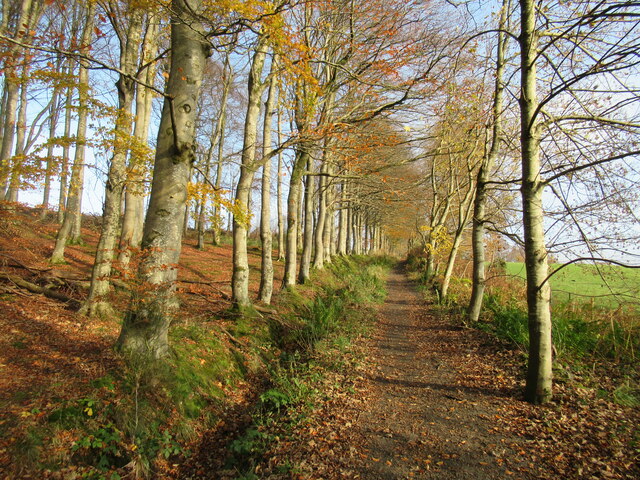
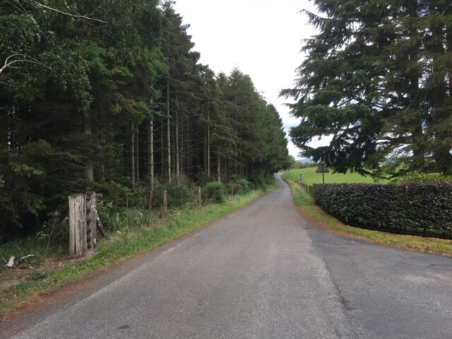
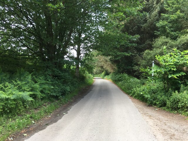
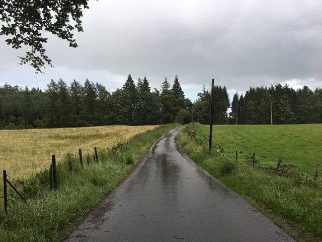
Cornton Wood is a picturesque forest located in Perthshire, Scotland. Spanning over a vast area, the wood is known for its rich biodiversity and scenic beauty. It is situated a few miles away from the town of Perth and is easily accessible by road.

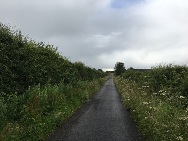
The wood boasts a diverse range of trees, including conifers, birch, oak, and beech, creating a colorful and vibrant landscape throughout the year. Walking through the forest, visitors can enjoy the peaceful ambiance and the calming sound of rustling leaves. The forest floor is covered in a thick carpet of ferns, moss, and wildflowers, adding to its enchanting charm.

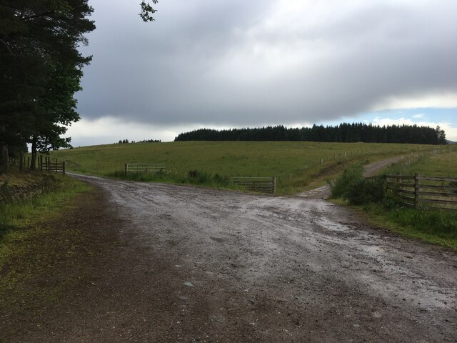
Cornton Wood is a haven for wildlife, providing a habitat for numerous species. Birdwatchers can spot a variety of birds, such as woodpeckers, owls, and thrushes. Small mammals, including squirrels and rabbits, can also be seen darting through the undergrowth. Moreover, the wood is home to deer and foxes, which occasionally make an appearance, adding to the sense of wilderness.

The forest offers several well-maintained walking trails, allowing visitors to explore its beauty at their own pace. These trails cater to different levels of difficulty, making them suitable for families and more experienced hikers alike. Additionally, the wood has picnic areas and seating, providing a perfect spot for visitors to rest and enjoy a packed lunch amidst nature.

Overall, Cornton Wood in Perthshire is a delightful destination for nature lovers and outdoor enthusiasts. Its stunning scenery, diverse flora and fauna, and accessible trails make it a must-visit location for those seeking tranquility and a connection with the natural world.

If you have any feedback on the listing, please let us know in the comments section below.
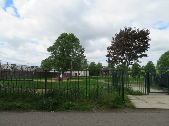
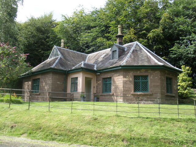
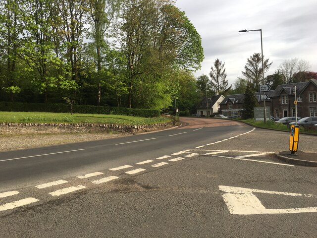
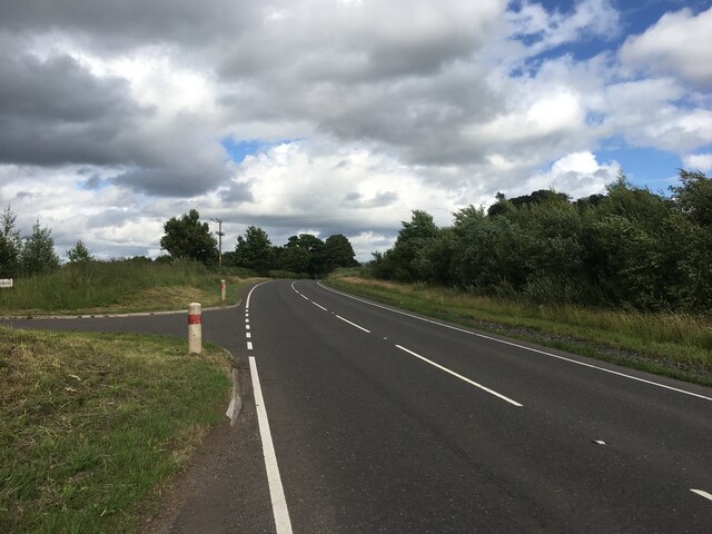
Cornton Wood Images

Images are sourced within 2km of 56.200154/-4.0335514 or Grid Reference NN7302. Thanks to Geograph Open Source API. All images are credited.

Play area at Doune A small park, with public conveniences, off King Street.
Play area at Doune
A small park, with public conveniences, off King Street.
B824 towards Doune
B824 towards Doune
Doune Castle The Royal Hunting Lodge, Doune Castle.
Doune Castle
The Royal Hunting Lodge, Doune Castle.
Track near Doune Ponds Nature Reserve This track leads eventually to the farms of Mansfield and Wester Lundie. Some modern housing developments in the town of Doune can be seen through the trees on the left.
Track near Doune Ponds Nature Reserve
This track leads eventually to the farms of Mansfield and Wester Lundie. Some modern housing developments in the town of Doune can be seen through the trees on the left.
Commonty walk, Doune This is a popular short walk near the small town of Doune, crossing the Commonty (once common grazing land). This track leads over to the road to Cornton.
Commonty walk, Doune
This is a popular short walk near the small town of Doune, crossing the Commonty (once common grazing land). This track leads over to the road to Cornton.
Track to Wester Lundie A track leading from the small town of Doune through forestry plantations to the farms of Mansfield and Wester Lundie.
Track to Wester Lundie
A track leading from the small town of Doune through forestry plantations to the farms of Mansfield and Wester Lundie.
Track junction north of Doune The main track continues on the right here.
Track junction north of Doune
The main track continues on the right here.
Main Street, Doune Home of Harvey Maps
Main Street, Doune
Home of Harvey Maps
The Highland Hotel, Doune
Gate, Doune Ponds Nature Reserve From the car park.
Gate, Doune Ponds Nature Reserve
From the car park.
Road junction on the A84 in Doune
A820 towards Dunblane
Minor road towards Argaty
Minor road near Mill of Argaty
Minor road towards Argaty
Minor road near Lerrocks
Minor road near Auchenteck Farm
Farm tracks near Nether Glastry
Show me another place!

Cornton Wood is located at Grid Ref: NN7302 (Lat: 56.200154, Lng: -4.0335514)

Unitary Authority: Stirling

Police Authority: Forth Valley

What 3 Words

///winds.likening.senior. Near Doune, Stirling

Nearby Locations

Marl Loch Cornton Wood

Related Wikis

Argaty

Argaty is a farm estate located just over a mile northeast of Doune, Stirling, Scotland. The present Argaty House dates from the 19th century with baronial...

Doune

Doune (; from Scottish Gaelic: An Dùn, meaning 'the fort') is a burgh within Perthshire. The town is administered by Stirling Council. Doune is assigned...

Doune railway station

Doune was a railway station located in Doune, in the council area of Stirling, Scotland. The station was rebuilt in typical Caledonian Railway style in...

Kilbryde Castle

Kilbryde Castle is a castellated Scottish castle in the Scots baronial style. The castle lies on the A820 between Doune and Dunblane in southern Perthshire...

Nearby Amenities

Located within 500m of 56.200154,-4.0335514
Argaty Sawmill
Addr Postcode: FK16 6EN
Craft: sawmill
Email: sales@coventryfencing.com
Operator: Coventry for Fencing
Phone: +44 1786 842156
Website: http://coventryfencing.com/
Lat/Long: 56.1980401/-4.0331958
Argaty
Place: hamlet
Lat/Long: 56.198503/-4.0309232
Power: pole
Lat/Long: 56.2044513/-4.0321302
Power: pole
Lat/Long: 56.2039556/-4.031716
Power: pole
Lat/Long: 56.2032761/-4.0311491
Power: pole
Lat/Long: 56.2026175/-4.0305886
Power: pole
Lat/Long: 56.2018089/-4.0299631
Power: pole
Lat/Long: 56.2009711/-4.0293293
Power: pole
Lat/Long: 56.2001356/-4.0286683
Power: pole
Lat/Long: 56.1992198/-4.0287269
Power: pole
Lat/Long: 56.1985507/-4.028798
Power: pole
Lat/Long: 56.1976722/-4.0288252
Power: pole
Lat/Long: 56.1970496/-4.0289173
Power: pole
Lat/Long: 56.1973114/-4.0303731
Power: pole
Lat/Long: 56.1971811/-4.0314901
Power: pole
Lat/Long: 56.1966283/-4.0321281
Power: pole
Lat/Long: 56.1961535/-4.0328497
Power: pole
Lat/Long: 56.1957101/-4.0335735
Power: pole
Lat/Long: 56.197721/-4.032856
Power: pole
Lat/Long: 56.1987497/-4.0391103
Power: pole
Lat/Long: 56.1983459/-4.0381648
Power: pole
Lat/Long: 56.1979002/-4.0371315
Power: pole
Lat/Long: 56.1974022/-4.0359476
Power: pole
Lat/Long: 56.1969204/-4.0346758
The data included in this document is from www.openstreetmap.org. The data is made available under ODbL.

Have you been to Cornton Wood?

Leave your review of Cornton Wood below (or comments, questions and feedback).