Bellfraggan Wood

Wood, Forest in Kirkcudbrightshire

Scotland

Bellfraggan Wood

Grassland near Bellrigg Typical Galloway scenery with lush pastures near Bellrigg Farm.
Grassland near Bellrigg Credit: Gordon Hatton

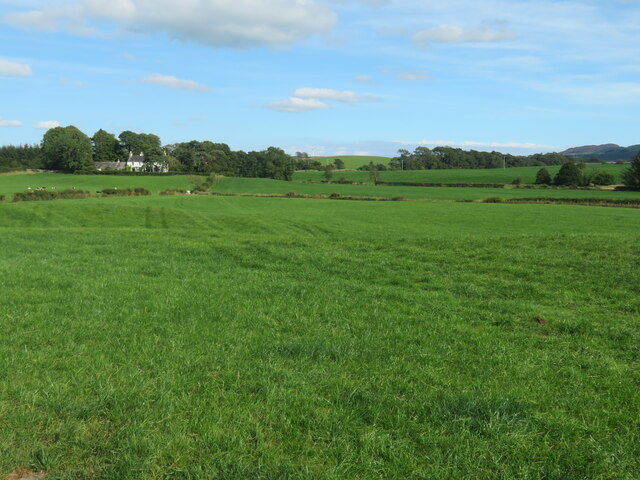
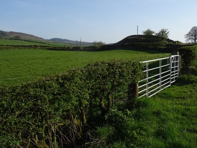
Bellfraggan Wood is a picturesque forest located in Kirkcudbrightshire, Scotland. Covering an area of approximately 50 hectares, the wood is known for its diverse range of tree species including oak, beech, and birch. The forest is a popular destination for nature lovers and outdoor enthusiasts, offering a peaceful retreat from the hustle and bustle of everyday life.

Visitors to Bellfraggan Wood can enjoy a network of well-maintained walking trails that wind through the forest, providing opportunities to observe the local wildlife and soak in the natural beauty of the surroundings. The wood is home to a variety of bird species, making it a great spot for birdwatching.

In addition to its natural beauty, Bellfraggan Wood also has a rich cultural history. The wood is believed to have been inhabited since ancient times, with evidence of prehistoric settlements and burial mounds found in the area.

Overall, Bellfraggan Wood is a peaceful and scenic destination that offers visitors the chance to connect with nature and explore the history of the region.

If you have any feedback on the listing, please let us know in the comments section below.

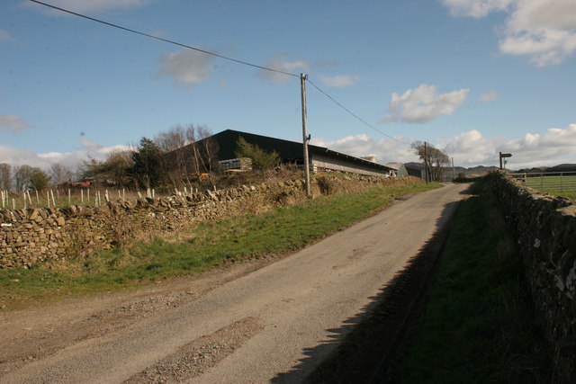
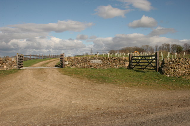
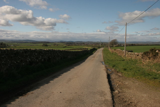
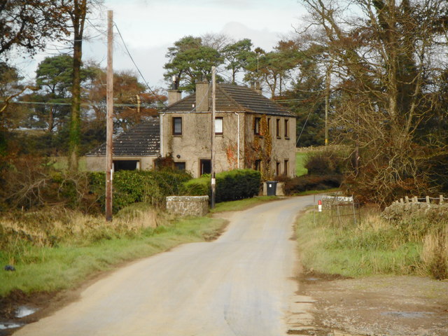
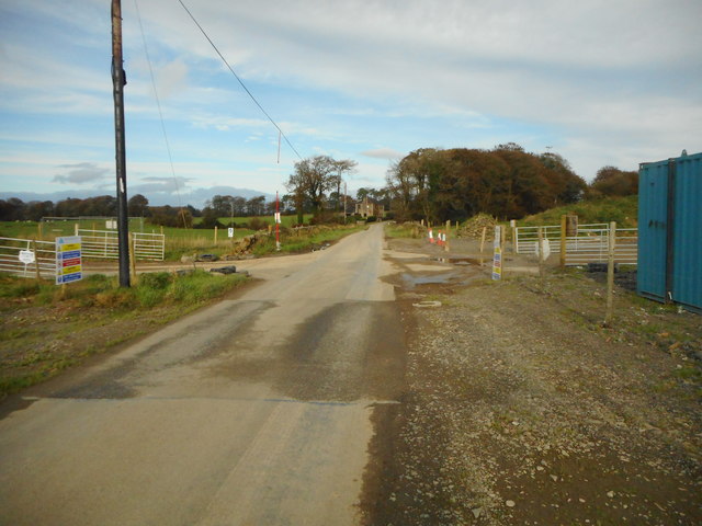
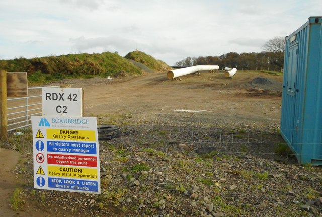
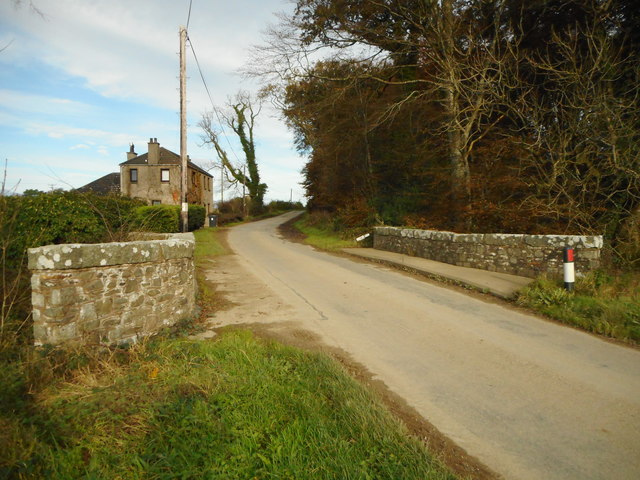
Bellfraggan Wood Images

Images are sourced within 2km of 54.893009/-3.9748586 or Grid Reference NX7357. Thanks to Geograph Open Source API. All images are credited.

Grassland near Bellrigg Typical Galloway scenery with lush pastures near Bellrigg Farm.
Grassland near Bellrigg
Typical Galloway scenery with lush pastures near Bellrigg Farm.
The back road to Tongland This road runs parallel to the River Dee, but maintains some distance from it.
The back road to Tongland
This road runs parallel to the River Dee, but maintains some distance from it.
B727 south of Airieland Part of National Cycle Route 7.
B727 south of Airieland
Part of National Cycle Route 7.
Minor road north of Kettle Knowe
Minor road north of Kettle Knowe Kettle Knowe can be seen in the distance.
Minor road north of Kettle Knowe
Kettle Knowe can be seen in the distance.
Slagnaw Farm
Slagnaw Farm
New entrance to Slagnaw This new entrance does not yet appear on the map.
New entrance to Slagnaw
This new entrance does not yet appear on the map.
Road north of Slagnaw
Kelterne Beside Arkland Bridge.
Kelterne
Beside Arkland Bridge.
Pipe works near Arkland Bridge A new gas pipeline is being constructed and will cross the road at this point.
Pipe works near Arkland Bridge
A new gas pipeline is being constructed and will cross the road at this point.
Pipeline construction work near Arkland Bridge Health and Safety warning signs beside the works.
Pipeline construction work near Arkland Bridge
Health and Safety warning signs beside the works.
Arkland Bridge The bridge crosses the Auchlane Burn. Kelterne is in the distance.
Arkland Bridge
The bridge crosses the Auchlane Burn. Kelterne is in the distance.
From Billies Bridge to Billies Farm The beginning of the track to Billies Farm.
From Billies Bridge to Billies Farm
The beginning of the track to Billies Farm.
The road at Mayfield The entrance to Mayfield farm is to the right from the main road.
The road at Mayfield
The entrance to Mayfield farm is to the right from the main road.
The view from Rivington Lodge The open view across farmland at Rivington Lodge.
The view from Rivington Lodge
The open view across farmland at Rivington Lodge.
Near Arkland Bridge The open landscape as viewed from Arkland Bridge.
Near Arkland Bridge
The open landscape as viewed from Arkland Bridge.
Beside the B727, Castlehill Grass growing fast in warm April weather. There are a lot of dairy farms here.
Beside the B727, Castlehill
Grass growing fast in warm April weather. There are a lot of dairy farms here.
Arable land by Castlehill The Auchlane burn flows as a ditch on the right.
Arable land by Castlehill
The Auchlane burn flows as a ditch on the right.
Show me another place!

Bellfraggan Wood is located at Grid Ref: NX7357 (Lat: 54.893009, Lng: -3.9748586)

Unitary Authority: Dumfries and Galloway

Police Authority: Dumfries and Galloway

What 3 Words

///dripping.altering.cabs. Near Castle Douglas, Dumfries & Galloway

Related Wikis

Airieland

Airieland is a farm in the historical county of Kirkcudbrightshire, in the Scottish council area of Dumfries and Galloway. It is found 3 miles (5 km) south...

Bridge of Dee, Galloway

Bridge of Dee, Galloway is a settlement on the River Dee, Galloway. It lies on the A75 just west of Castle Douglas, and north-east of Kirkcudbright. The...

Bridge of Dee railway station

Bridge of Dee railway station served the settlement of Bridge of Dee, Dumfries and Galloway, Scotland from 1864 to 1949 on the Kirkcudbright Railway....

Threave Gardens

Threave Garden and Estate is a series of gardens owned and managed by the National Trust for Scotland, located near Castle Douglas in the historical county...

Nearby Amenities

Located within 500m of 54.893009,-3.9748586
Power: pole
Lat/Long: 54.8951861/-3.9810327
Power: pole
Lat/Long: 54.8953572/-3.9801064
Power: pole
Lat/Long: 54.8955331/-3.9791398
Power: pole
Lat/Long: 54.8956504/-3.9783388
Power: pole
Lat/Long: 54.8968073/-3.9782709
Power: pole
Lat/Long: 54.8961049/-3.9787382
Power: pole
Lat/Long: 54.8947353/-3.9795137
Power: pole
Lat/Long: 54.8939326/-3.9799513
Power: pole
Lat/Long: 54.8930627/-3.9803741
Power: pole
Lat/Long: 54.8922539/-3.9807884
The data included in this document is from www.openstreetmap.org. The data is made available under ODbL.

Have you been to Bellfraggan Wood?

Leave your review of Bellfraggan Wood below (or comments, questions and feedback).