Kennan Hill Plantation
Wood, Forest in Kirkcudbrightshire
Scotland
Kennan Hill Plantation
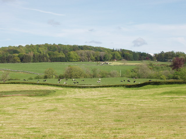
Kennan Hill Plantation is a picturesque wood located in Kirkcudbrightshire, Scotland. Covering an area of approximately 100 acres, this forested area is known for its lush greenery, diverse wildlife, and tranquil atmosphere. The plantation is home to a variety of tree species, including oak, beech, and pine, creating a rich and vibrant ecosystem.
Visitors to Kennan Hill Plantation can enjoy leisurely walks along the well-maintained paths that wind through the forest, offering stunning views of the surrounding countryside and the nearby town of Kirkcudbright. Birdwatchers and nature enthusiasts will appreciate the abundance of wildlife that can be spotted in the area, including red squirrels, deer, and a variety of bird species.
Kennan Hill Plantation is a popular destination for outdoor enthusiasts looking to escape the hustle and bustle of city life and immerse themselves in the beauty of nature. Whether you're looking to go for a peaceful stroll, observe wildlife, or simply relax and enjoy the serene surroundings, Kennan Hill Plantation offers a perfect retreat for nature lovers of all ages.
If you have any feedback on the listing, please let us know in the comments section below.
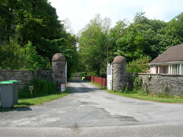
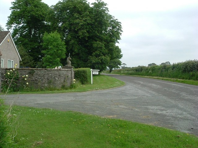
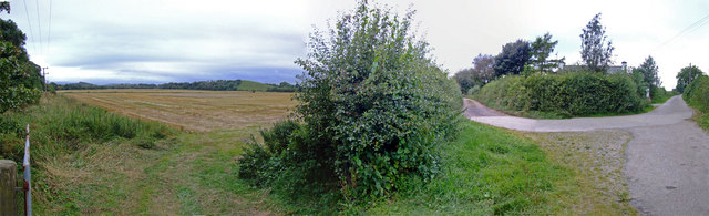
Kennan Hill Plantation Images
Images are sourced within 2km of 54.939271/-3.9803579 or Grid Reference NX7362. Thanks to Geograph Open Source API. All images are credited.


Kennan Hill Plantation is located at Grid Ref: NX7362 (Lat: 54.939271, Lng: -3.9803579)
Unitary Authority: Dumfries and Galloway
Police Authority: Dumfries and Galloway
What 3 Words
///trapdoor.probe.overcomes. Near Castle Douglas, Dumfries & Galloway
Nearby Locations
Related Wikis

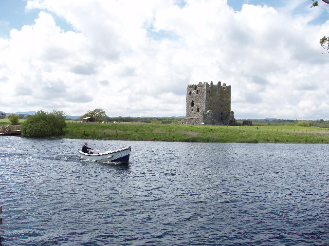
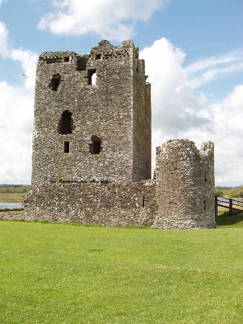
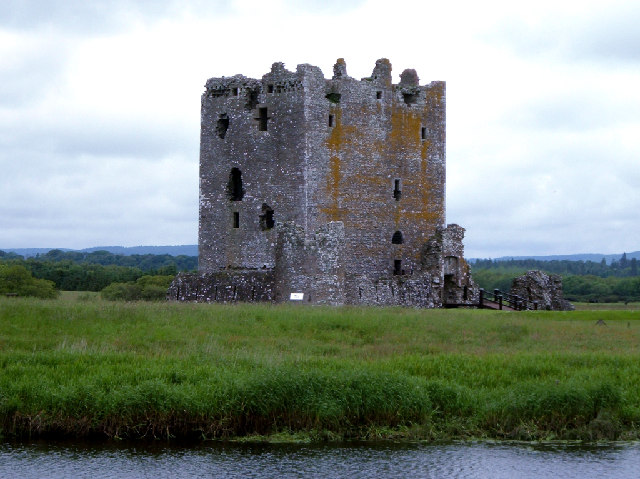
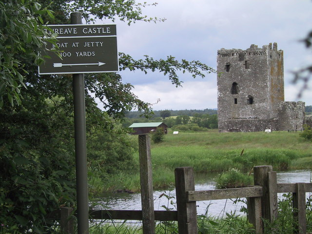
Threave Castle
Threave Castle is situated on an island in the River Dee, 2.5 kilometres (1.6 mi) west of Castle Douglas in the historical county of Kirkcudbrightshire...

Bridge of Dee railway station
Bridge of Dee railway station served the settlement of Bridge of Dee, Dumfries and Galloway, Scotland from 1864 to 1949 on the Kirkcudbright Railway....

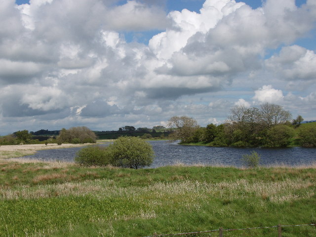
Glenlochar
Glenlochar (Gd: Gleann Lochair) is a hamlet on the western bank of the River Dee in the parish of Balmaghie in the historical county of Kirkcudbrightshire...

Bridge of Dee, Galloway
Bridge of Dee, Galloway is a settlement on the River Dee, Galloway. It lies on the A75 just west of Castle Douglas, and north-east of Kirkcudbright. The...
Nearby Amenities
Located within 500m of 54.939271,-3.9803579Have you been to Kennan Hill Plantation?
Leave your review of Kennan Hill Plantation below (or comments, questions and feedback).