Coille Poll na h-Airde
Wood, Forest in Sutherland
Scotland
Coille Poll na h-Airde
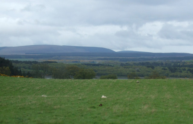
Coille Poll na h-Airde, located in Sutherland, Scotland, is a captivating wood or forest that spans over a vast area. The name Coille Poll na h-Airde translates to "Wood of the High Pool," aptly describing its location near a pristine pool or small lake. This natural paradise is nestled among the stunning landscape of the Scottish Highlands.
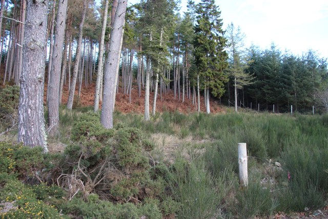
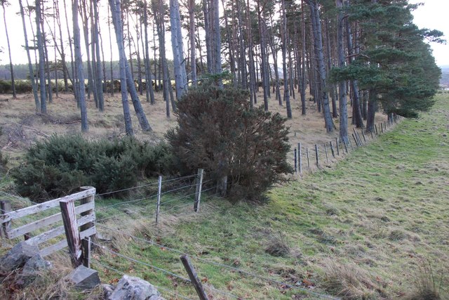
The wood boasts a rich diversity of plant and animal species, making it a haven for nature enthusiasts. Towering Scots pines dominate the forest, their majestic presence creating a sense of tranquility. These ancient trees provide shelter to a myriad of wildlife, including red squirrels, roe deer, and various bird species.
As one ventures further into the wood, a meandering network of trails unveils itself. These pathways wind through the dense foliage, allowing visitors to explore the enchanting surroundings. The soft crunch of fallen leaves underfoot adds to the immersive experience, while the fresh scent of pine fills the air.
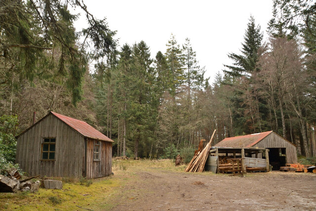
Coille Poll na h-Airde is not only a delight for the senses but also a place of historical significance. Archaeological remains, such as ancient settlements and burial grounds, can be found within the wood, offering a glimpse into its human history.
Visitors to Coille Poll na h-Airde can engage in a range of activities, from leisurely walks to birdwatching and photography. The wood's serene ambiance and breathtaking vistas make it an ideal location for those seeking solace and connection with nature.
If you have any feedback on the listing, please let us know in the comments section below.
Coille Poll na h-Airde Images
Images are sourced within 2km of 57.866018/-4.1686188 or Grid Reference NH7188. Thanks to Geograph Open Source API. All images are credited.


Coille Poll na h-Airde is located at Grid Ref: NH7188 (Lat: 57.866018, Lng: -4.1686188)
Unitary Authority: Highland
Police Authority: Highlands and Islands
What 3 Words
///presides.area.quest. Near Dornoch, Highland
Nearby Locations
Related Wikis

Pulrossie
Pulrossie is a farm in Sutherland, in the Highland council area of Scotland. It is situated on the northern shore of the Kyle of Sutherland, 8 km west...

Meikle Ferry disaster
The Meikle Ferry took passengers across the tidal Dornoch Firth in North Scotland. On 16 August 1809, in clear weather conditions, the overloaded ferry...

Skibo Castle
Skibo Castle (Scottish Gaelic: Caisteal Sgìobail) is located to the west of Dornoch in the Highland county of Sutherland, Scotland overlooking the Dornoch...
Ardmore, Easter Ross
Ardmore (Scottish Gaelic: An Àird Mhòr) is a village on the south shore of Dornoch Firth in Tain, Ross-shire, Highland and is in the Scottish council area...
Nearby Amenities
Located within 500m of 57.866018,-4.1686188Have you been to Coille Poll na h-Airde?
Leave your review of Coille Poll na h-Airde below (or comments, questions and feedback).