Gilboa Wood
Wood, Forest in Stirlingshire
Scotland
Gilboa Wood
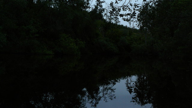
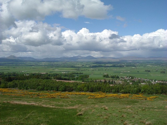
Gilboa Wood is a picturesque forest located in the region of Stirlingshire, Scotland. Covering an area of approximately 500 acres, this woodland is known for its diverse flora and fauna, making it a popular destination for nature enthusiasts and outdoor enthusiasts alike.
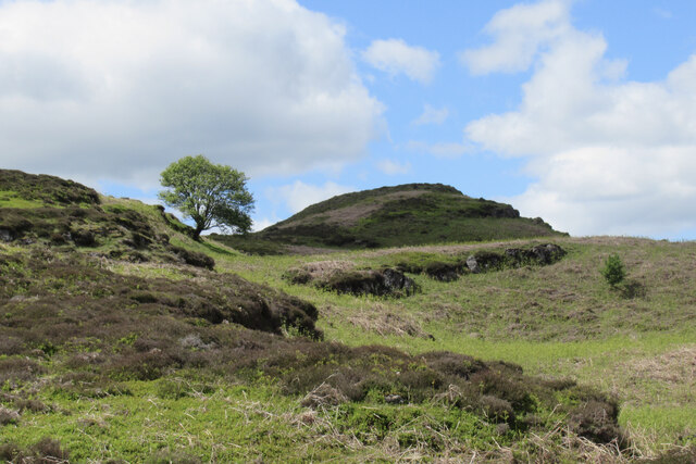
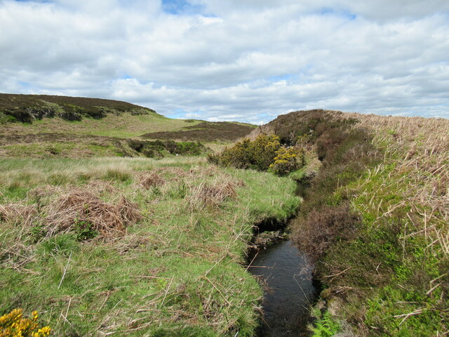
The wood is primarily composed of native Scottish trees such as oak, birch, and pine, creating a beautiful natural landscape. These trees provide a habitat for a wide range of wildlife species including red squirrels, roe deer, and numerous bird species, making it a haven for birdwatchers and wildlife photographers.
The wood features well-maintained trails and paths that weave through the trees, offering visitors the opportunity to explore and immerse themselves in the peaceful surroundings. These trails are suitable for all levels of fitness, making it accessible for families and individuals of all ages.
Gilboa Wood also boasts a variety of recreational activities for visitors to enjoy. There are designated picnic areas where visitors can relax and enjoy a meal surrounded by the tranquil ambiance of the wood. Additionally, there are several spots for camping and bonfires, allowing visitors to extend their stay and experience the beauty of the wood at night.
Furthermore, the wood is situated in close proximity to other attractions in Stirlingshire, such as Loch Lomond and the Trossachs National Park, providing visitors with the opportunity to explore the wider area and make the most of their visit.
Overall, Gilboa Wood offers a serene and captivating natural environment, making it a must-visit destination for anyone seeking a peaceful escape amidst the beauty of Scotland's woodlands.
If you have any feedback on the listing, please let us know in the comments section below.
Gilboa Wood Images
Images are sourced within 2km of 56.115306/-4.0733546 or Grid Reference NS7193. Thanks to Geograph Open Source API. All images are credited.


Gilboa Wood is located at Grid Ref: NS7193 (Lat: 56.115306, Lng: -4.0733546)
Unitary Authority: Stirling
Police Authority: Forth Valley
What 3 Words
///glass.unleashed.nickname. Near Kippen, Stirling
Nearby Locations
Related Wikis
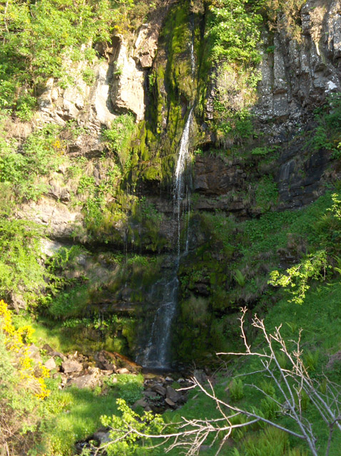
Downie's Loup
Downie's Loup is a waterfall of Scotland located near the village of Gargunnock. == See also == Waterfalls of Scotland == References ==

Stirling (UK Parliament constituency)
Stirling is a county constituency of the House of Commons of the Parliament of the United Kingdom. It elects one Member of Parliament (MP) by the first...
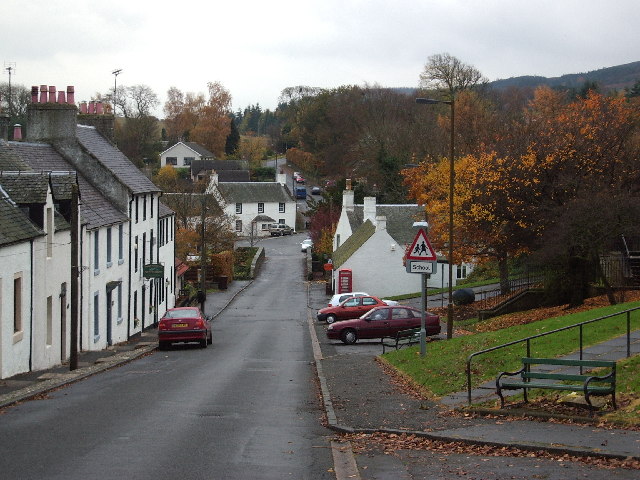
Gargunnock
Gargunnock is a small village in the Stirling council area with an active community trust, seven miles (eleven kilometres) west of Stirling, in Scotland...

Gargunnock railway station
Gargunnock railway station served the village of Gargunnock, Stirling, Scotland, from 1856 to 1959 on the Forth and Clyde Junction Railway. == History... ==
Nearby Amenities
Located within 500m of 56.115306,-4.0733546Have you been to Gilboa Wood?
Leave your review of Gilboa Wood below (or comments, questions and feedback).