Gateside Wood

Wood, Forest in Stirlingshire

Scotland

Gateside Wood

Mowing grass Cutting grass for winter fodder, a view over the football park at Queenzieburn.
Mowing grass Credit: Richard Webb

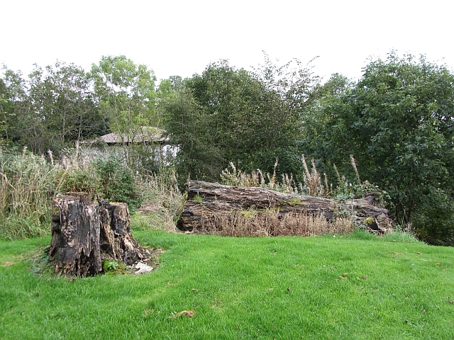
Gateside Wood is a picturesque forest located in Stirlingshire, Scotland. Covering an area of approximately 200 hectares, this woodland gem is nestled in the heart of the Central Lowlands. With its tranquil atmosphere and diverse flora and fauna, Gateside Wood is a popular destination for nature lovers and outdoor enthusiasts.

The forest boasts a rich variety of tree species, including oak, birch, beech, and pine. These towering trees create a dense canopy that provides shade and shelter for a wide range of wildlife. Visitors can expect to encounter a plethora of birds, such as woodpeckers, owls, and various species of songbirds. The forest floor is adorned with an array of wildflowers, forming a vibrant tapestry that changes with the seasons.

Gateside Wood offers a network of walking trails, allowing visitors to explore its natural beauty at their own pace. These paths wind through the forest, leading to hidden glens, babbling brooks, and stunning viewpoints. Along the way, visitors may come across remnants of historical structures, such as ancient stone walls or the ruins of long-abandoned cottages.

The forest also provides a habitat for a diverse range of mammals, including red squirrels, deer, and foxes. With luck and patience, visitors may catch a glimpse of these elusive creatures during their woodland adventure.

Gateside Wood is a haven for those seeking peace and tranquility in a stunning natural setting. Whether you are an avid birdwatcher, a keen walker, or simply someone who enjoys being immersed in nature, this enchanting forest is sure to captivate your senses.

If you have any feedback on the listing, please let us know in the comments section below.

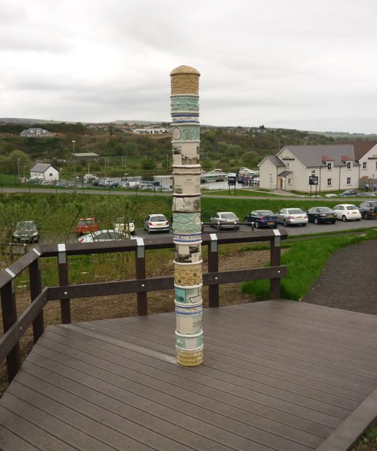
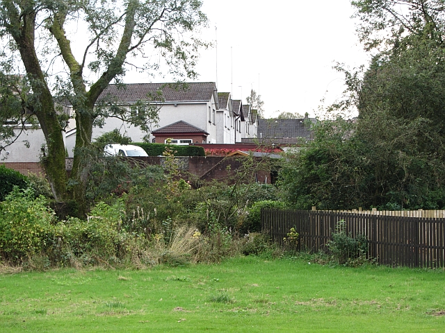
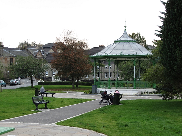
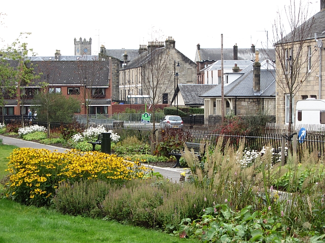
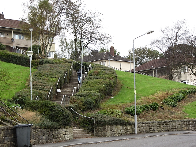
Gateside Wood Images

Images are sourced within 2km of 55.977456/-4.071276 or Grid Reference NS7077. Thanks to Geograph Open Source API. All images are credited.

Mowing grass Cutting grass for winter fodder, a view over the football park at Queenzieburn.
Mowing grass
Cutting grass for winter fodder, a view over the football park at Queenzieburn.
The Beacon Still derelict, a former public house.
The Beacon
Still derelict, a former public house.
The Beacon Derelict pub, Queenzieburn.
The Beacon
Derelict pub, Queenzieburn.
Bus stop, Queenzieburn A bus stop on Kilsyth Road.
Bus stop, Queenzieburn
A bus stop on Kilsyth Road.
Fields, Balcastle Steep ground above Balcastle Road.
Fields, Balcastle
Steep ground above Balcastle Road.
Auchinstarry Totem Pole
White House Building, Main Street (July 2011) This old building has recently been redeveloped.

It spent a few years looking like this <a title="www.geograph.org.uk/photo/1719580" href="https://www.geograph.org.uk/photo/1719580">Link</a>
White House Building, Main Street (July 2011)
This old building has recently been redeveloped. It spent a few years looking like this Link
Kilsyth Police Office Kilsyth's new police office.
The old one is currently up for sale.
Kilsyth Police Office
Kilsyth's new police office. The old one is currently up for sale.
Building site, Stirling Road New houses being built in Kilsyth.
Building site, Stirling Road
New houses being built in Kilsyth.
Stirling Road, Kilsyth Westward view.
Stirling Road, Kilsyth
Westward view.
Barrwood Quarry There is a lot of work going on in the quarry right now. Possibly landscaping associated with the neighbouring new housing development.
Barrwood Quarry
There is a lot of work going on in the quarry right now. Possibly landscaping associated with the neighbouring new housing development.
Ebroch Drive The back of houses on Ebroch Drive.
Ebroch Drive
The back of houses on Ebroch Drive.
Bandstand, Burngreen A small park between two burns (one the River Kelvin) in Kilsyth.
Bandstand, Burngreen
A small park between two burns (one the River Kelvin) in Kilsyth.
Burngreen Park in Kilsyth seen on a very hot day.
Burngreen
Park in Kilsyth seen on a very hot day.
Steps, Belmont Street A flight of steps form a short cut towards Kilsyth town centre from a residential area on a hillside.
Steps, Belmont Street
A flight of steps form a short cut towards Kilsyth town centre from a residential area on a hillside.
Park, Westfield A rotting tree in a small open space near the old railway line.
Park, Westfield
A rotting tree in a small open space near the old railway line.
Gateside Avenue Residential area above Kilsyth.
Gateside Avenue
Residential area above Kilsyth.
Disused railway, Kilsyth Now a path, this was once a mineral line running above Kilsyth towards Colzium.
Disused railway, Kilsyth
Now a path, this was once a mineral line running above Kilsyth towards Colzium.
Show me another place!

Gateside Wood is located at Grid Ref: NS7077 (Lat: 55.977456, Lng: -4.071276)

Unitary Authority: North Lanarkshire

Police Authority: Lanarkshire

What 3 Words

///nips.tightest.expel. Near Kilsyth, North Lanarkshire

Nearby Locations

Gateside Wood

Related Wikis

Kilsyth Victoria Cottage Hospital

Kilsyth Victoria Cottage Hospital is a health facility in Glasgow Road, Kilsyth, North Lanarkshire, Scotland. It is managed by NHS Lanarkshire. == History... ==

Kilsyth Rangers F.C.

Kilsyth Rangers Football Club are a Scottish football club based in the town of Kilsyth, North Lanarkshire. Nicknamed The Wee Gers, they were formed in...

Kilsyth railway station

Kilsyth Old station served the town of Kilsyth in Scotland. It was the original terminus of the Kelvin Valley Railway. == History == The station opened...

Kilsyth

Kilsyth (; Scottish Gaelic Cill Saidhe) is a town and civil parish in North Lanarkshire, roughly halfway between Glasgow and Stirling in Scotland. The...

Nearby Amenities

Located within 500m of 55.977456,-4.071276
Note: Name changes at town boundary
Lat/Long: 55.9757847/-4.0746493
Mini Roundabout
Direction: clockwise
Lat/Long: 55.9774532/-4.0678347
Fuel
Duncansfield
Addr Postcode: G65 9AE
Brand: Shell
Brand Wikidata: Q110716465
Operator: Eurogarages
Phone: +44 1236 827277
Ref Navads: NVDS353_10019450
Website: https://find.shell.com/gb/fuel/10019450-eg-duncansfield-service-station
Lat/Long: 55.9773325/-4.0670926
Crossing
Crossing: traffic_signals
Lat/Long: 55.9772457/-4.0686843
Balmalloch
Place: suburb
Lat/Long: 55.9793395/-4.0656355
Northfield
Place: suburb
Lat/Long: 55.9799742/-4.0764188
Westfield
Place: suburb
Lat/Long: 55.9775945/-4.0737037
Give Way
Direction: backward
Lat/Long: 55.9775285/-4.0678928
Kilsyth Junction
Historic Railway: junction
Railway: site
Lat/Long: 55.9770019/-4.0661728
Post Box
Source: survey
Lat/Long: 55.976655/-4.0721359
Barrier: bollard
Source: survey
Lat/Long: 55.9791561/-4.07182
Post Box
Source: survey
Lat/Long: 55.979548/-4.0700192
Crossing
Crossing: traffic_signals
Crossing Island: no
Tactile Paving: yes
Lat/Long: 55.9778608/-4.0649481
Bus Stop
Kilsyth, Glasgow Road opp Ashlea
Bus: yes
Departures Board: timetable
Naptan AtcoCode: 61601410
Naptan NaptanCode: 65236437
Public Transport: platform
Shelter: yes
Lat/Long: 55.9773255/-4.068497
Bus Stop
Kilsyth, Glasgow Road before Victoria Park
Bus: yes
Departures Board: timetable
Naptan AtcoCode: 61601409
Naptan NaptanCode: 65237247
Public Transport: platform
Shelter: no
Lat/Long: 55.9771453/-4.0690426
Bus Stop
Kilsyth, Rennie Road at 70 Rennie Road
Bus: yes
Departures Board: timetable
Naptan AtcoCode: 61601422
Naptan NaptanCode: 65232857
Public Transport: platform
Shelter: no
Lat/Long: 55.9815409/-4.0727491
Bus Stop
Kilsyth, Rennie Road at 37 Road Rennie Road
Bus: yes
Departures Board: timetable
Naptan AtcoCode: 61601421
Naptan NaptanCode: 65235939
Public Transport: platform
Shelter: yes
Lat/Long: 55.9810057/-4.074207
Bus Stop
Kilsyth, Northfield Road opp Rennie Road
Bus: yes
Departures Board: timetable
Naptan AtcoCode: 61601420
Naptan NaptanCode: 65236468
Public Transport: platform
Shelter: no
Lat/Long: 55.980444/-4.0747016
Bus Stop
Kilsyth, Northfield Road at 29 Northfield Road
Bus: yes
Departures Board: timetable
Naptan AtcoCode: 61601419
Naptan NaptanCode: 65235494
Public Transport: platform
Shelter: yes
Lat/Long: 55.98019/-4.0722227
Bus Stop
Kilsyth Balmalloch Road opp St Andrews Place
Bus: yes
Naptan AtcoCode: 61601783
Naptan NaptanCode: 65238465
Public Transport: platform
Shelter: no
Lat/Long: 55.9809529/-4.0686681
Bus Stop
Kilsyth Balmalloch Road after St Andrews Place
Bus: yes
Departures Board: timetable
Naptan AtcoCode: 61601426
Naptan NaptanCode: 65235763
Public Transport: platform
Shelter: yes
Lat/Long: 55.9810453/-4.0686482
Bus Stop
Kilsyth, Balmalloch Road before Anderson Avenue
Bus: yes
Departures Board: timetable
Naptan AtcoCode: 61601427
Naptan NaptanCode: 65232528
Public Transport: platform
Shelter: yes
Lat/Long: 55.981691/-4.0697402
Bus Stop
Kilsyth, Balmalloch Road before Livingstone Park
Bus: yes
Naptan AtcoCode: 61601784
Naptan NaptanCode: 65238367
Public Transport: platform
Shelter: no
Lat/Long: 55.9817783/-4.0697356
Bus Stop
Kilsyth, Glasgow Road opp Garrell Vale Community Centre
Bench: yes
Bin: no
Bus: yes
Departures Board: timetable
Naptan AtcoCode: 61601407
Naptan NaptanCode: 65234694
Public Transport: platform
Shelter: yes
Lat/Long: 55.978066/-4.0639792
Bus Stop
Kilsyth, Glasgow Road at Garrell Vale Community Centre
Bench: yes
Bus: yes
Departures Board: timetable
Naptan AtcoCode: 61601408
Naptan NaptanCode: 65235682
Public Transport: platform
Shelter: yes
Lat/Long: 55.977754/-4.0653398
Bus Stop
Kilsyth, Balmalloch Road before Corrie Road
Bus: yes
Departures Board: timetable
Naptan AtcoCode: 61601417
Naptan NaptanCode: 65234642
Public Transport: platform
Shelter: yes
Lat/Long: 55.9785324/-4.0688883
Bus Stop
Kilsyth, Balmalloch Road before Westfield Road
Bus: yes
Departures Board: timetable
Naptan AtcoCode: 61601418
Naptan NaptanCode: 65236359
Public Transport: platform
Shelter: no
Lat/Long: 55.9787622/-4.0694125
Bus Stop
Kilsyth, Corrie Brae after Montrose Gardens
Bus: yes
Departures Board: timetable
Naptan AtcoCode: 61601803
Naptan NaptanCode: 65239524
Public Transport: platform
Shelter: no
Lat/Long: 55.9786045/-4.0670526
Give Way
Direction: forward
Lat/Long: 55.9774042/-4.0679436
Give Way
Direction: backward
Lat/Long: 55.9774565/-4.0676659
The data included in this document is from www.openstreetmap.org. The data is made available under ODbL.

Have you been to Gateside Wood?

Leave your review of Gateside Wood below (or comments, questions and feedback).