Big Wood

Wood, Forest in Kirkcudbrightshire

Scotland

Big Wood

Old road alignment near Bridge of Dee A tidying up of the A75 through verdant fields.
Old road alignment near Bridge of Dee Credit: M J Richardson

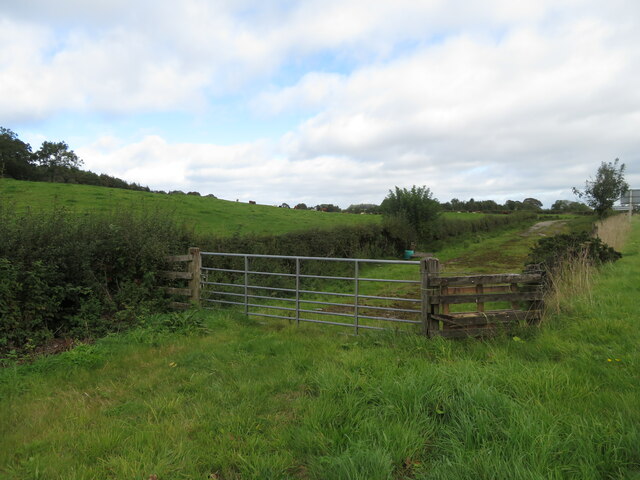
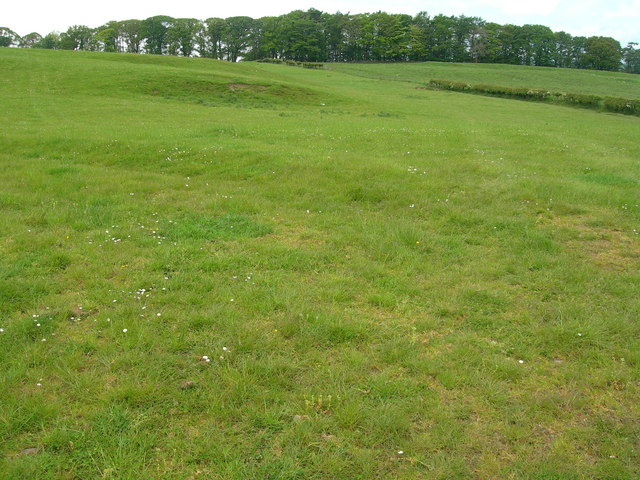
Big Wood is a large forest located in the historical county of Kirkcudbrightshire in Scotland. Covering an extensive area, it is situated near the town of Kirkcudbright and is a prominent natural feature of the region. The wood is known for its diverse range of tree species, including oak, beech, birch, and pine, which provide a rich and varied habitat for numerous wildlife species.

The forest is accessible to the public and offers a range of recreational activities and amenities. There are well-maintained walking trails and paths that allow visitors to explore and appreciate the natural beauty of the wood. These trails offer stunning views of the surrounding countryside and provide opportunities for birdwatching and wildlife spotting. The forest is also popular among nature enthusiasts, photographers, and artists who are drawn to its serene and picturesque landscapes.

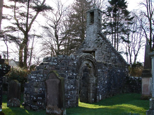
In addition to its natural beauty, Big Wood has historical significance. It is part of a larger network of woods that were once owned by the local landowners and played a significant role in the timber industry of the region. Today, remnants of this historical activity can still be seen in the form of old sawmill sites and abandoned logging tracks.

Big Wood is cherished by the local community and is actively managed to ensure its preservation and sustainable use. It serves as an important resource for both leisure and educational purposes, providing a tranquil escape from the bustling urban areas nearby. With its rich biodiversity and captivating landscapes, Big Wood stands as a testament to the natural beauty and cultural heritage of Kirkcudbrightshire.

If you have any feedback on the listing, please let us know in the comments section below.

Big Wood Images

Images are sourced within 2km of 54.910966/-4.017096 or Grid Reference NX7059. Thanks to Geograph Open Source API. All images are credited.

Old road alignment near Bridge of Dee A tidying up of the A75 through verdant fields.
Old road alignment near Bridge of Dee
A tidying up of the A75 through verdant fields.
A lay-by on the A711 A much needed lay-by on the A711 just before it joins the A75.
A lay-by on the A711
A much needed lay-by on the A711 just before it joins the A75.
Lay-by on the A75 Looking east from a lay-by on the A75.
Lay-by on the A75
Looking east from a lay-by on the A75.
Near to Barstibly A lay-by on the A711 south of Barstibly.
Near to Barstibly
A lay-by on the A711 south of Barstibly.
A75 eastbound nears the A711 junction
Dismantled Railway at Barncrosh Drive Entrance The bank can be seen running through the woods here.

Railway Link : <span class="nowrap"><a title="https://en.wikipedia.org/wiki/Castle_Douglas_and_Dumfries_Railway" rel="nofollow ugc noopener" href="https://en.wikipedia.org/wiki/Castle_Douglas_and_Dumfries_Railway">Link</a><img style="margin-left:2px;" alt="External link" title="External link - shift click to open in new window" src="https://s1.geograph.org.uk/img/external.png" width="10" height="10"/></span>
Dismantled Railway at Barncrosh Drive Entrance
The bank can be seen running through the woods here. Railway Link : LinkExternal link
Eastbound A75 near A711 Junction The A75 is a Primary Trunk Road; the main through route for traffic between northern England and Northern Ireland (more specifically the ferry terminal from Cairnryan to Belfast and Larne). It runs for 95½ miles between Stranraer and the A74(M) at Gretna, close to the Border with England and the M6 Motorway. Although it is an important trunk route (it is also a Euroroute, the E18), and has been subject to a number of upgrades over the years, the majority of the road is still single-carriageway although there are a few short dual carriageway sections and some three-lane sections which allow overtaking in one direction.
Eastbound A75 near A711 Junction
The A75 is a Primary Trunk Road; the main through route for traffic between northern England and Northern Ireland (more specifically the ferry terminal from Cairnryan to Belfast and Larne). It runs for 95½ miles between Stranraer and the A74(M) at Gretna, close to the Border with England and the M6 Motorway. Although it is an important trunk route (it is also a Euroroute, the E18), and has been subject to a number of upgrades over the years, the majority of the road is still single-carriageway although there are a few short dual carriageway sections and some three-lane sections which allow overtaking in one direction.
Layby on the A75 The A75 is a Primary Trunk Road; the main through route for traffic between northern England and Northern Ireland (more specifically the ferry terminal from Cairnryan to Belfast and Larne). It runs for 95½ miles between Stranraer and the A74(M) at Gretna, close to the Border with England and the M6 Motorway. Although it is an important trunk route (it is also a Euroroute, the E18), and has been subject to a number of upgrades over the years, the majority of the road is still single-carriageway although there are a few short dual carriageway sections and some three-lane sections which allow overtaking in one direction.
Layby on the A75
The A75 is a Primary Trunk Road; the main through route for traffic between northern England and Northern Ireland (more specifically the ferry terminal from Cairnryan to Belfast and Larne). It runs for 95½ miles between Stranraer and the A74(M) at Gretna, close to the Border with England and the M6 Motorway. Although it is an important trunk route (it is also a Euroroute, the E18), and has been subject to a number of upgrades over the years, the majority of the road is still single-carriageway although there are a few short dual carriageway sections and some three-lane sections which allow overtaking in one direction.
Farmland Typical gently rising sheep grazing land
Farmland
Typical gently rising sheep grazing land
A714 Looking south from layby
A714
Looking south from layby
View to the west From layby on A714
View to the west
From layby on A714
Road to Barstibly
Road to Barstibly
A shady spot Off the A711.
A shady spot
Off the A711.
Solitary cow Looking toward Cairney hill
Solitary cow
Looking toward Cairney hill
View to the east
View to the east
Old railway bridge
Old railway bridge
Road to Dunjop
Road to Dunjop
Show me another place!

Big Wood is located at Grid Ref: NX7059 (Lat: 54.910966, Lng: -4.017096)

Unitary Authority: Dumfries and Galloway

Police Authority: Dumfries and Galloway

What 3 Words

///download.adjusting.rushed. Near Castle Douglas, Dumfries & Galloway

Nearby Locations

White Hill Big Wood

Related Wikis

Ringford

Ringford is a village in the historical county of Kirkcudbrightshire in Dumfries and Galloway located at grid reference NX689578 beside the Tarff Water...

Bridge of Dee, Galloway

Bridge of Dee, Galloway is a settlement on the River Dee, Galloway. It lies on the A75 just west of Castle Douglas, and north-east of Kirkcudbright. The...

Bridge of Dee railway station

Bridge of Dee railway station served the settlement of Bridge of Dee, Dumfries and Galloway, Scotland from 1864 to 1949 on the Kirkcudbright Railway....

Tarff railway station

Tarff railway station served the village of Ringford, Dumfries and Galloway, Scotland from 1864 to 1965 on the Kirkcudbright Railway. == History == The...

Threave Castle

Threave Castle is situated on an island in the River Dee, 2.5 kilometres (1.6 mi) west of Castle Douglas in the historical county of Kirkcudbrightshire...

Threave Gardens

Threave Garden and Estate is a series of gardens owned and managed by the National Trust for Scotland, located near Castle Douglas in the historical county...

Tongland

Tongland is a small village about 2 miles (3 km) north of Kirkcudbright, in the historic county of Kirkcudbrightshire in Dumfries and Galloway, Scotland...

Tongland Abbey

Tungland or Tongland Abbey was a Premonstratensian monastic community located in Tongland in the historical county of Kirkcudbrightshire in Dumfries and...

Nearby Amenities

Located within 500m of 54.910966,-4.017096
Power: tower
Lat/Long: 54.9123487/-4.0236694
Power: tower
Lat/Long: 54.9096083/-4.0243291
Power: pole
Lat/Long: 54.9131072/-4.0104681
Power: pole
Lat/Long: 54.91283/-4.0115601
Power: pole
Lat/Long: 54.9124832/-4.012975
Power: pole
Lat/Long: 54.9125076/-4.0139968
Power: pole
Lat/Long: 54.9125235/-4.0146788
Power: pole
Lat/Long: 54.9121852/-4.0157134
Power: pole
Lat/Long: 54.9115307/-4.0164633
Power: pole
Lat/Long: 54.9110776/-4.0175638
Power: pole
Lat/Long: 54.9105012/-4.0189574
Power: pole
Lat/Long: 54.9101482/-4.0197456
Power: pole
Lat/Long: 54.9095962/-4.0209353
Power: pole
Lat/Long: 54.9090808/-4.0220549
Power: pole
Lat/Long: 54.9085691/-4.0231766
The data included in this document is from www.openstreetmap.org. The data is made available under ODbL.

Have you been to Big Wood?

Leave your review of Big Wood below (or comments, questions and feedback).