Brokentree Wood
Wood, Forest in Perthshire
Scotland
Brokentree Wood

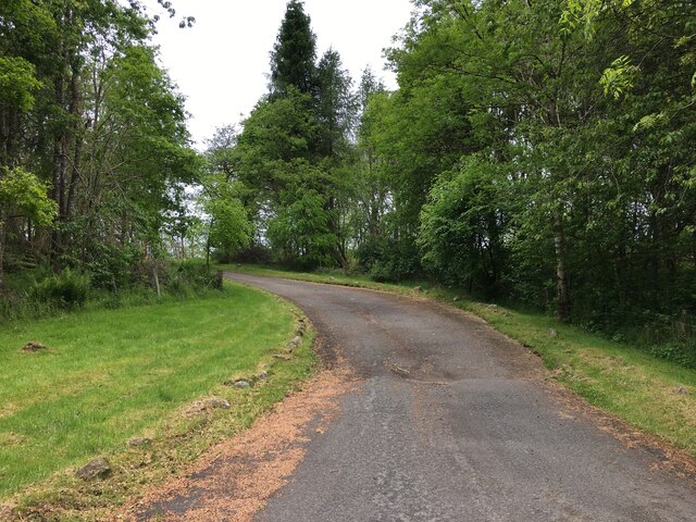
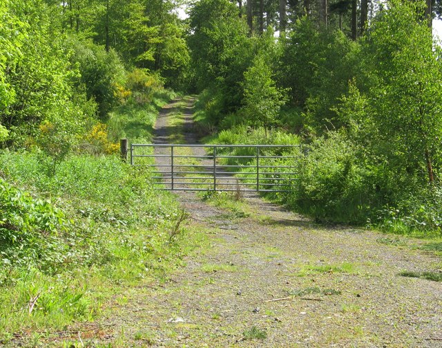
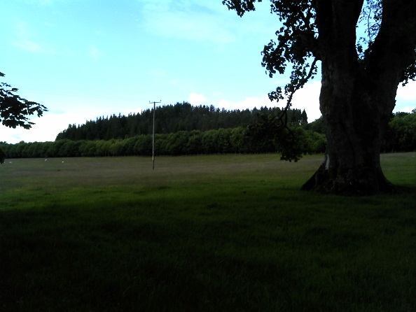
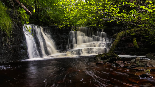
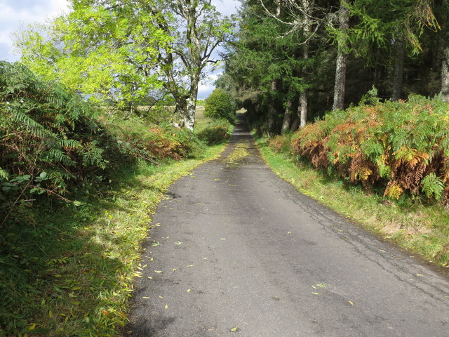
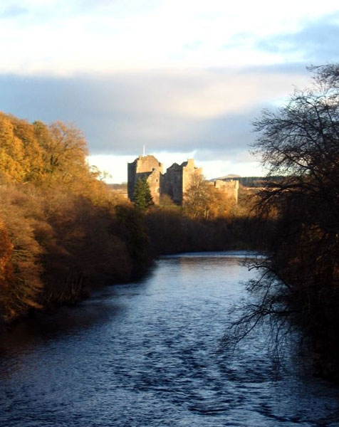
Brokentree Wood is a picturesque forest located in Perthshire, Scotland. Situated amidst the scenic landscape of the region, this wood spans an area of approximately 100 acres and is known for its natural beauty and diverse flora and fauna.
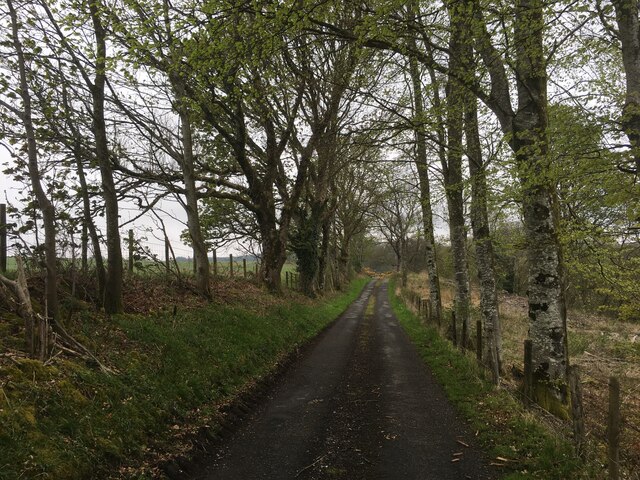
The wood is primarily composed of native tree species, including oak, birch, and beech, which create a dense canopy overhead, providing shade and shelter for the abundant wildlife that calls this forest home. Walking through the wood, visitors are greeted by a carpet of vibrant wildflowers, adding bursts of color to the lush green surroundings.
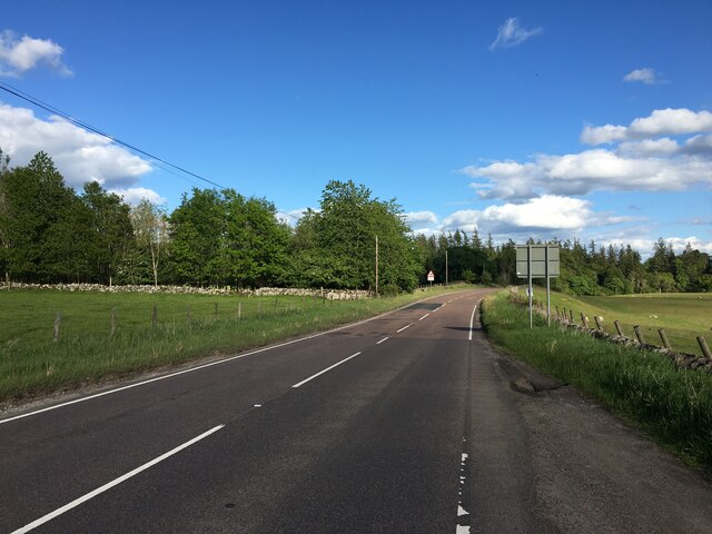
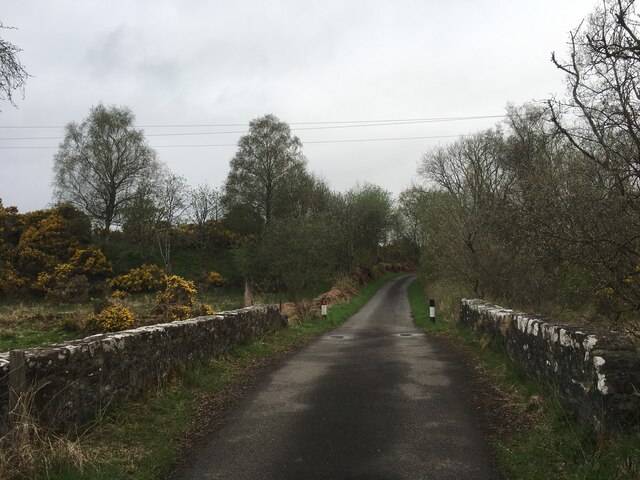
One of the notable features of Brokentree Wood is its network of walking trails that allow visitors to explore the area at their own pace. These trails are well-maintained and offer breathtaking views of the surrounding countryside. Birdwatchers will be delighted by the wide variety of avian species, such as woodpeckers, owls, and various songbirds, which can be spotted throughout the wood.
The wood is also home to a diverse range of wildlife, including red deer, squirrels, and rabbits, providing ample opportunities for nature enthusiasts and photographers to capture the beauty of these creatures in their natural habitat.
Brokentree Wood is easily accessible, with a car park located nearby, and is a popular destination for both locals and tourists seeking a peaceful retreat in nature. Whether it's a leisurely walk, birdwatching, or simply enjoying the tranquility of the surroundings, Brokentree Wood offers a truly immersive experience for nature lovers of all ages.
If you have any feedback on the listing, please let us know in the comments section below.
Brokentree Wood Images
Images are sourced within 2km of 56.206662/-4.0916182 or Grid Reference NN7003. Thanks to Geograph Open Source API. All images are credited.


Brokentree Wood is located at Grid Ref: NN7003 (Lat: 56.206662, Lng: -4.0916182)
Unitary Authority: Stirling
Police Authority: Forth Valley
What 3 Words
///eggshell.protect.modest. Near Doune, Stirling
Nearby Locations
Related Wikis
Kilmadock
Kilmadock parish (Scottish Gaelic Cille Mo Dog), named for Saint Cadoc, containing the settlements of Doune, Deanston, Buchany, Argaty, Hill of Row, Drumvaich...

Doune Hillclimb
Doune Hillclimb, Carse of Cambus, near Doune in the district of Stirling, Scotland, is the home of the only round of the British Hill Climb Championship...
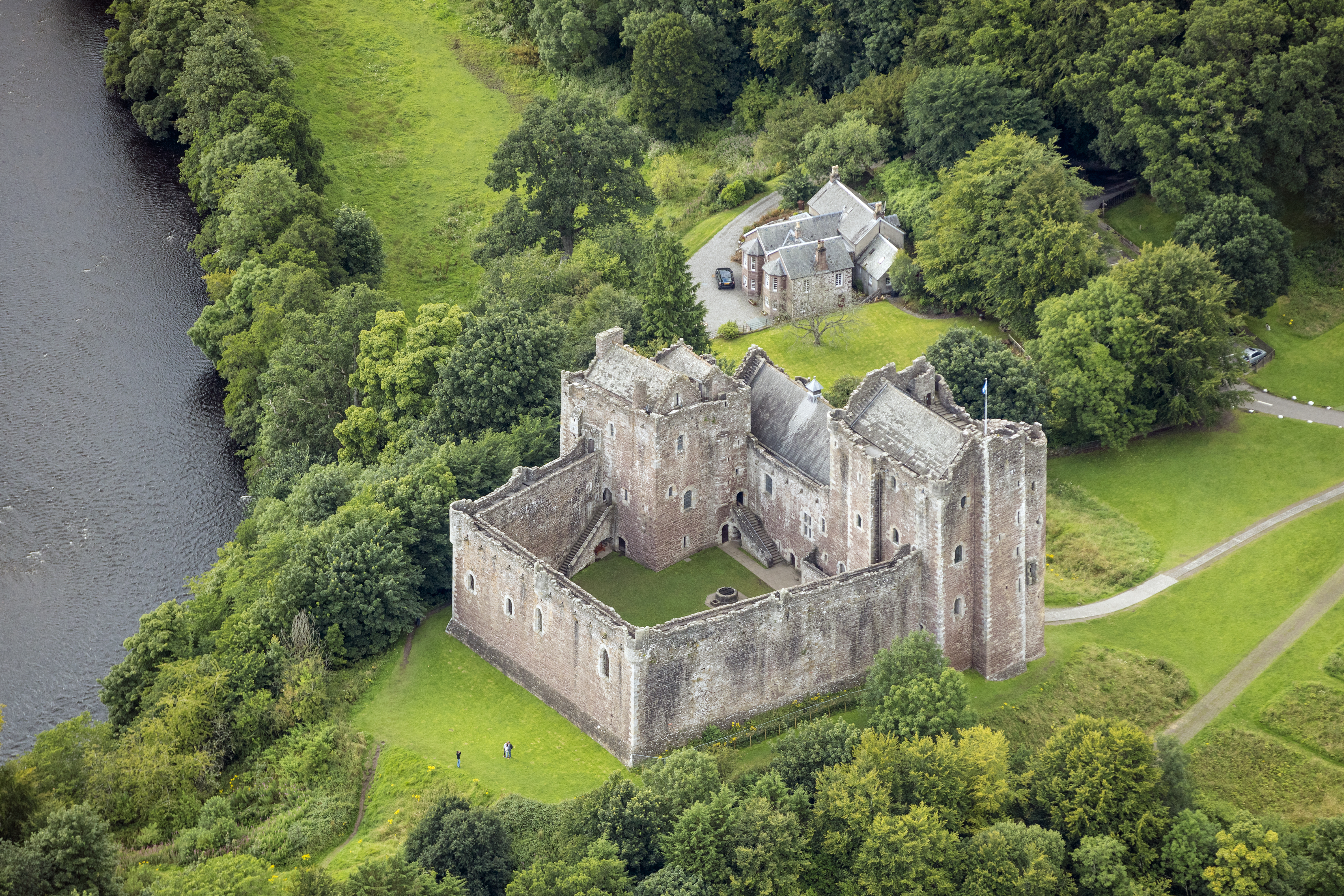
Lanrick Castle
Lanrick Castle was a late 18th-century country house near Doune in central Scotland. It was demolished in 2002 despite being protected as a category B...
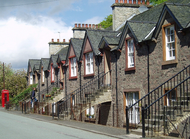
Deanston
Deanston (Scottish Gaelic: Baile an Deadhain) is a village in the Stirling council area, Scotland, on the south bank of the River Teith east of Doune,...
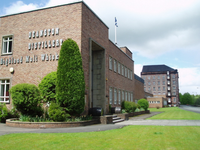
Deanston distillery
Deanston distillery is a Single Malt Scotch whisky distillery located on the banks of the River Teith, eight miles from the historic town of Stirling,...

Doune railway station
Doune was a railway station located in Doune, in the council area of Stirling, Scotland. The station was rebuilt in typical Caledonian Railway style in...
Doune
Doune (; from Scottish Gaelic: An Dùn, meaning 'the fort') is a burgh within Perthshire. The town is administered by Stirling Council. Doune is assigned...

Argaty
Argaty is a farm estate located just over a mile northeast of Doune, Stirling, Scotland. The present Argaty House dates from the 19th century with baronial...
Nearby Amenities
Located within 500m of 56.206662,-4.0916182Have you been to Brokentree Wood?
Leave your review of Brokentree Wood below (or comments, questions and feedback).