Corriedoo Forest

Wood, Forest in Kirkcudbrightshire

Scotland

Corriedoo Forest

The ruins of Laggan Lodge, Halfmark Forest. This ruined property is almost hidden by large beech trees, and sits in an idyllic location at the east end of Loch Howie.
The ruins of Laggan Lodge, Halfmark Forest. Credit: Bob Peace

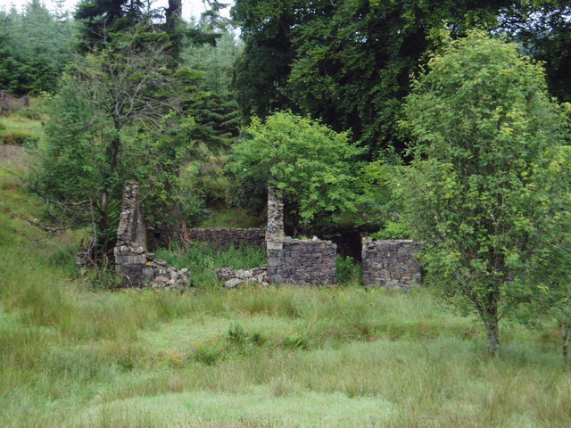
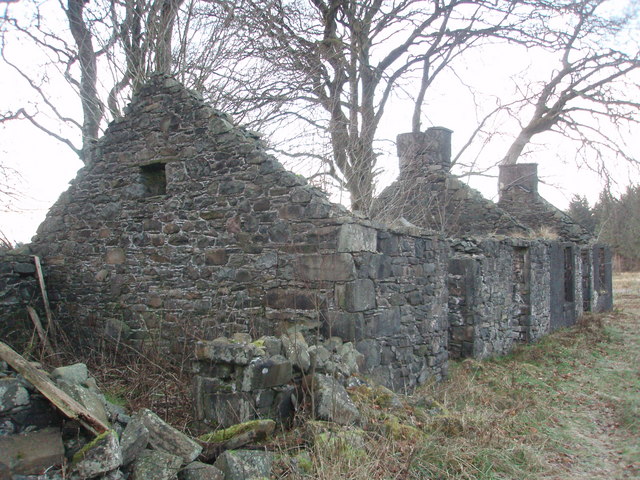
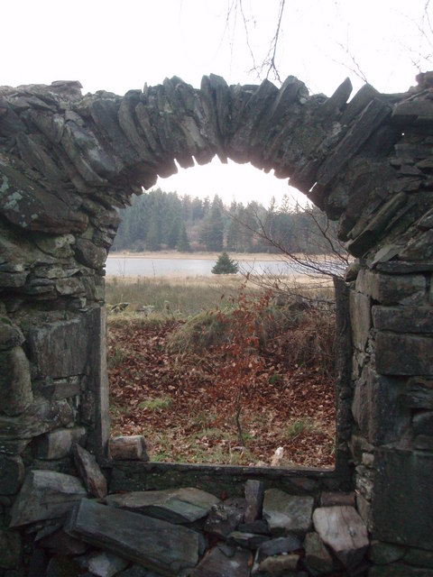
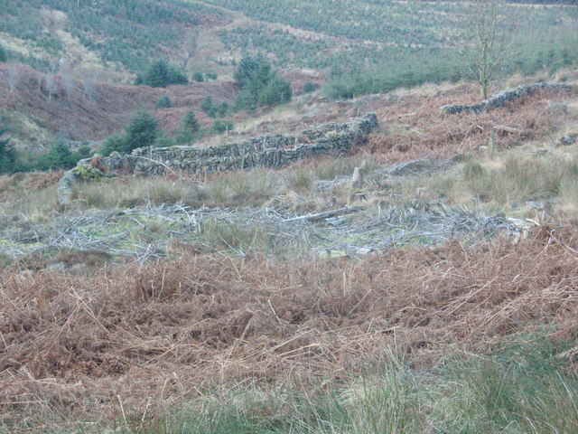
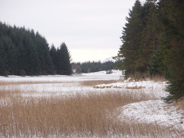
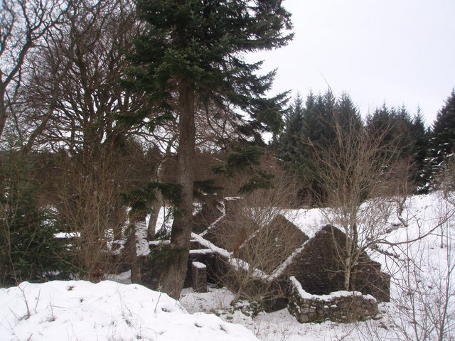
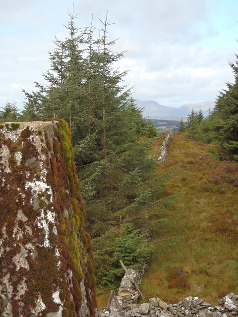
Corriedoo Forest is a stunning woodland located in Kirkcudbrightshire, a historic county in southwest Scotland. Stretching over a vast area of land, this dense forest is a haven for nature enthusiasts and those seeking tranquility amidst breathtaking surroundings.

The forest is predominantly composed of native tree species, including oak, beech, and birch, which create a rich and diverse ecosystem. The canopies formed by these towering trees provide shade and shelter for a wide range of flora and fauna, making it a thriving habitat for various wildlife species.

As visitors venture through the forest, they will encounter a network of well-maintained trails that wind through the woodland, allowing for easy exploration. These paths cater to different levels of fitness and offer a chance to enjoy a leisurely stroll or a more energetic hike.

Corriedoo Forest is also home to a number of picturesque streams and small waterfalls, which add to the natural beauty of the landscape. The sound of running water and the fresh scent of the forest create a truly immersive experience for visitors.

For birdwatchers, the forest is a sanctuary, attracting a wide array of avian species. From the melodious songs of thrushes and warblers to the majestic flight of birds of prey, there is always something to captivate bird enthusiasts.

Overall, Corriedoo Forest is a captivating destination that offers a serene escape from the hustle and bustle of everyday life. It provides a unique opportunity to connect with nature, explore stunning landscapes, and immerse oneself in the rich biodiversity of the region.

If you have any feedback on the listing, please let us know in the comments section below.

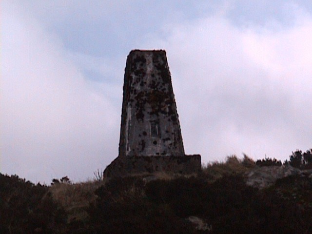
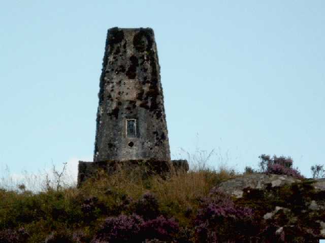
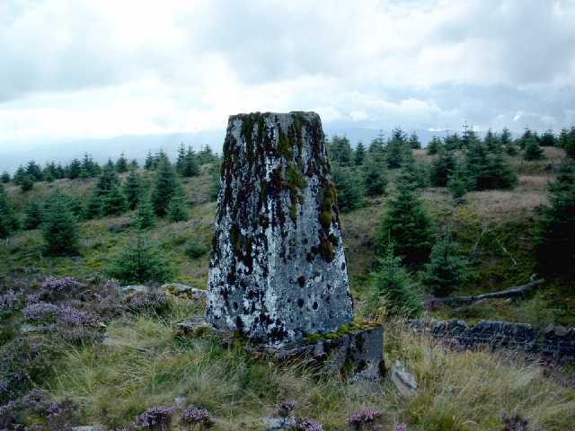
Corriedoo Forest Images

Images are sourced within 2km of 55.124412/-4.04629 or Grid Reference NX6983. Thanks to Geograph Open Source API. All images are credited.

The ruins of Laggan Lodge, Halfmark Forest. This ruined property is almost hidden by large beech trees, and sits in an idyllic location at the east end of Loch Howie.
The ruins of Laggan Lodge, Halfmark Forest.
This ruined property is almost hidden by large beech trees, and sits in an idyllic location at the east end of Loch Howie.
Loch Skae, Halfmark Forest.
Trig Point on Knocknan (Blackcraig Hill) Knocknan is not shown on OS 1:50,000 maps, it is listed as Blackcraig Hill.
Trig Point on Knocknan (Blackcraig Hill)
Knocknan is not shown on OS 1:50,000 maps, it is listed as Blackcraig Hill.
Forest Cairn. A beautifully built stone cairn situated within Corriedoo Forest on the north side of Blackcraig Hill.
Forest Cairn.
A beautifully built stone cairn situated within Corriedoo Forest on the north side of Blackcraig Hill.
Track Junction, Halfmark Forest. Picture taken early in the morning after a wet night.
Track Junction, Halfmark Forest.
Picture taken early in the morning after a wet night.
Trig pillar S7985 - Knocknan or Blackcraig Hill Flush bracket faces 334°, NNW. The pillar was completed on 29th April 1954 costing £42.1s.6d. In 1954 this marker was computed for triangulation as secondary station NX99/18 in the Dumfries secondary block. The flush bracket was levelled for height also in 1954. The trig point was last maintained by the OS in May 1988. This photo was taken from over 20m away from the pillar due to the very steep gradient of the highest slope.
Trig pillar S7985 - Knocknan or Blackcraig Hill
Flush bracket faces 334°, NNW. The pillar was completed on 29th April 1954 costing £42.1s.6d. In 1954 this marker was computed for triangulation as secondary station NX99/18 in the Dumfries secondary block. The flush bracket was levelled for height also in 1954. The trig point was last maintained by the OS in May 1988. This photo was taken from over 20m away from the pillar due to the very steep gradient of the highest slope.
Knocknan or Blackcraig Hill Although mapped as Blackcraig Hill on the 1:50K OS map Landranger 77, the summit rock is indicated as Knocknan on the 1:25K map. The summit is clear of trees, but the views to the northwest are restricted by the growing conifers. The summit is marked by OS trig pillar S7985.
Knocknan or Blackcraig Hill
Although mapped as Blackcraig Hill on the 1:50K OS map Landranger 77, the summit rock is indicated as Knocknan on the 1:25K map. The summit is clear of trees, but the views to the northwest are restricted by the growing conifers. The summit is marked by OS trig pillar S7985.
Laggan Lodge, Halfmark Forest.
Loch Howie from the ruins of Laggan Lodge. This arched window is situated in a bow fronted room at the north gable of the ruins of Laggan Lodge.
Loch Howie from the ruins of Laggan Lodge.
This arched window is situated in a bow fronted room at the north gable of the ruins of Laggan Lodge.
An icy Loch Skae. Recent felling of timber has opened up the view again of this pleasant hill loch. The distant trees are on the western flank of Stroan Hill.
An icy Loch Skae.
Recent felling of timber has opened up the view again of this pleasant hill loch. The distant trees are on the western flank of Stroan Hill.
Ruined sheepfold north of Laggan Lodge, Halfmark Forest Once a prominent feature of the Galloway landscape, many sheepfolds such as this are now hidden under a blanket of forest.
Ruined sheepfold north of Laggan Lodge, Halfmark Forest
Once a prominent feature of the Galloway landscape, many sheepfolds such as this are now hidden under a blanket of forest.
Frozen Loch Howie This image was taken standing on the ice at the NE edge of the loch.
Frozen Loch Howie
This image was taken standing on the ice at the NE edge of the loch.
Snow covers the ruins of Laggan Lodge
Frozen Loch Skae Compare with other image taken from the jetty <a title="https://www.geograph.org.uk/photo/1663516" href="https://www.geograph.org.uk/photo/1663516">Link</a>.
Frozen Loch Skae
Compare with other image taken from the jetty Link.
Blackcraig View from the Halfmark track towards the lower east slopes of Blackcraig Hill.
Blackcraig
View from the Halfmark track towards the lower east slopes of Blackcraig Hill.
Looking across Ewe Hill towards Blackcraig Farm Garcrogo Forest in the background
Looking across Ewe Hill towards Blackcraig Farm
Garcrogo Forest in the background
Fell Hill from the southern slopes of Halfmark Hill
Moss covered trig point on Blackcraig Hill Beninner and Moorbrock Hills in the distance. Corriedoo Forest (Forestry Commission land) on the left of the dyke, Halfmark Forest on the right (private forestry)
Moss covered trig point on Blackcraig Hill
Beninner and Moorbrock Hills in the distance. Corriedoo Forest (Forestry Commission land) on the left of the dyke, Halfmark Forest on the right (private forestry)
Show me another place!

Corriedoo Forest is located at Grid Ref: NX6983 (Lat: 55.124412, Lng: -4.04629)

Unitary Authority: Dumfries and Galloway

Police Authority: Dumfries and Galloway

What 3 Words

///hopping.hoped.prowling. Near Thornhill, Dumfries & Galloway

Related Wikis

Loch Howie

Loch Howie is a small, narrow, upland freshwater loch on the north side of Blackcraig Hill, approximately 18 miles (29 km) west of Dumfries, Scotland....

Loch Skae

Loch Skae is a small, upland freshwater loch to the north of Blackcraig Hill, approximately 18 miles (29 km) west of Dumfries, Scotland, 0.5 mi (0.80 km...

Lochinvar

Lochinvar (or Lan Var) is a loch in the civil parish of Dalry in the historic county of Kirkcudbrightshire, Dumfries and Galloway Scotland. It is located...

Barscobe Castle

Barscobe Castle is a 17th-century tower house in Balmaclellan, Kirkcudbrightshire, Scotland. It is a typical house of a country laird, and according to...

Balmaclellan

Balmaclellan (Scottish Gaelic: Baile Mac-a-ghille-dhiolan, meaning town of the MacLellans) is a small hillside village of stone houses with slate roofs...

Ken Bridge

The Ken Bridge is a road bridge about 0.8 kilometres (0.5 mi) north east of New Galloway in Dumfries and Galloway, Scotland, which carries the A712 road...

Craigenputtock

Craigenputtock (usually spelled by the Carlyles as Craigenputtoch) is an estate in Scotland where Thomas Carlyle lived from 1828 to 1834. He wrote several...

St John's Town of Dalry

St John's Town of Dalry (Scottish Gaelic: Clachan Eòin), usually referred to simply as Dalry (/dæl'raɪ/ / 'dal-RYE'), is a village in Dumfries and Galloway...

Nearby Amenities

Located within 500m of 55.124412,-4.04629
Generator Method: wind_turbine
Generator Source: wind
Generator Type: horizontal_axis
Power: generator
Lat/Long: 55.1207476/-4.0470887
The data included in this document is from www.openstreetmap.org. The data is made available under ODbL.

Have you been to Corriedoo Forest?

Leave your review of Corriedoo Forest below (or comments, questions and feedback).