Bargatton Plantation
Wood, Forest in Kirkcudbrightshire
Scotland
Bargatton Plantation
![Bellymack Fields A large modern [post-2010] house on the B795 just east of Laurieston.](https://s3.geograph.org.uk/geophotos/07/03/04/7030495_5afb0445.jpg)
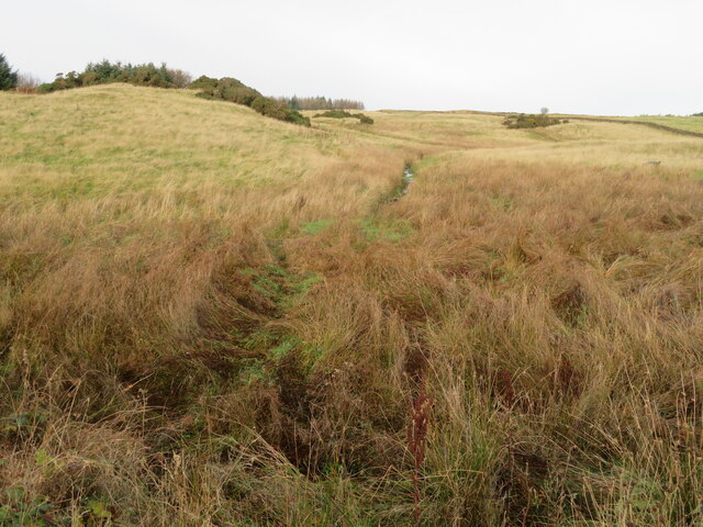
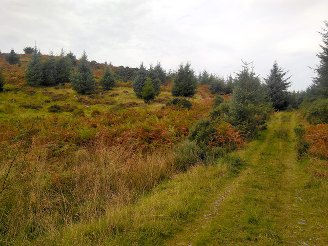
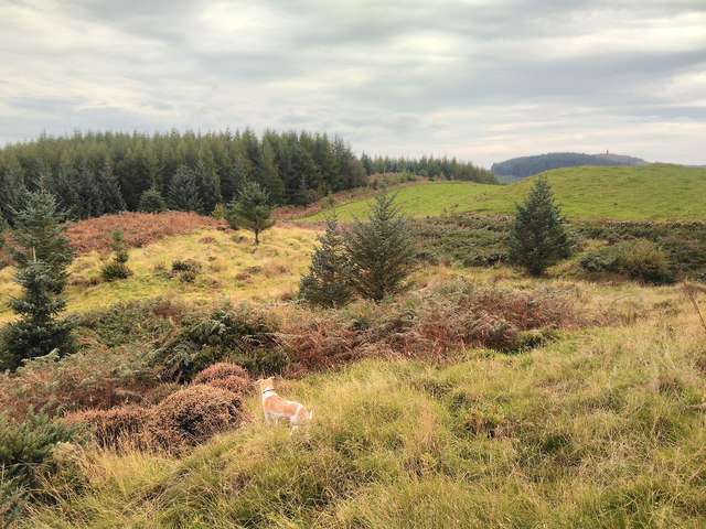
Bargatton Plantation is a sprawling woodland located in Kirkcudbrightshire, a historic county in southwest Scotland. Covering an extensive area, this plantation is a prime example of the region's natural beauty and rich forestry heritage.
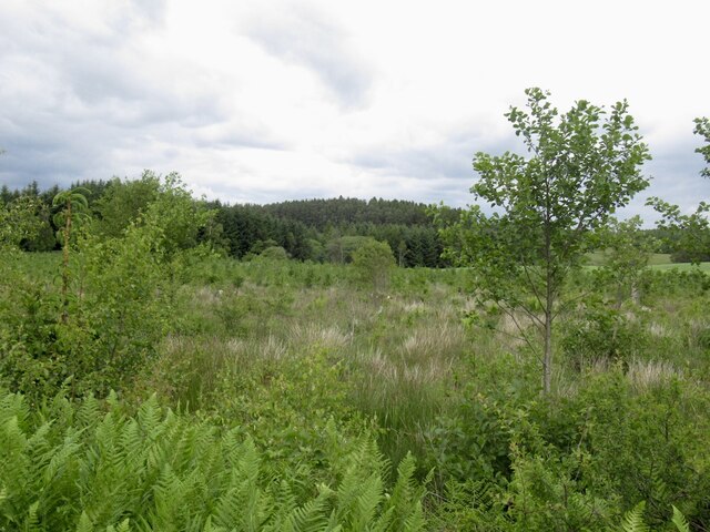
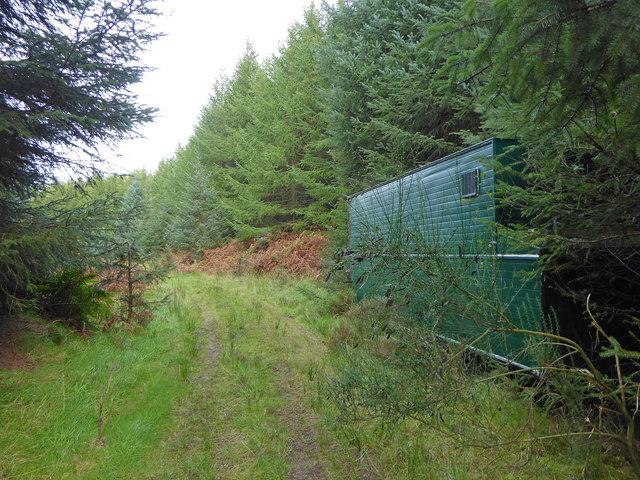
The plantation is predominantly composed of a diverse range of trees, including conifers and deciduous species, creating a lush and vibrant landscape. These trees provide a haven for various wildlife species, such as deer, squirrels, and numerous bird species.
Visitors to Bargatton Plantation can explore a network of well-maintained trails that wind through the woodland, offering stunning views of the surrounding countryside. These trails cater to both leisurely strolls and more challenging hikes, allowing visitors of all abilities to enjoy the plantation's natural splendor.
Throughout the seasons, Bargatton Plantation offers a captivating display of color and natural beauty. In spring, the woodland floor is carpeted with vibrant wildflowers, while in autumn, the trees burst into hues of red, orange, and gold, creating a picturesque scene.
The plantation is not only a haven for nature enthusiasts but also serves as an essential resource for the local community. It provides a sustainable supply of timber, supporting the local economy and ensuring the continued management and preservation of the woodland.
Bargatton Plantation is a cherished natural treasure in Kirkcudbrightshire, offering a peaceful escape into the heart of nature. With its diverse flora and fauna, picturesque trails, and economic significance, it is a must-visit destination for anyone seeking to immerse themselves in the beauty of Scotland's woodlands.
If you have any feedback on the listing, please let us know in the comments section below.
Bargatton Plantation Images
Images are sourced within 2km of 54.945309/-4.0376 or Grid Reference NX6963. Thanks to Geograph Open Source API. All images are credited.


Bargatton Plantation is located at Grid Ref: NX6963 (Lat: 54.945309, Lng: -4.0376)
Unitary Authority: Dumfries and Galloway
Police Authority: Dumfries and Galloway
What 3 Words
///scary.pairings.lateral. Near Castle Douglas, Dumfries & Galloway
Nearby Locations
Related Wikis

Glenlochar
Glenlochar (Gd: Gleann Lochair) is a hamlet on the western bank of the River Dee in the parish of Balmaghie in the historical county of Kirkcudbrightshire...

Balmaghie
Balmaghie ( bal-mə-GEE), from the Scottish Gaelic Baile Mhic Aoidh, is an ecclesiastical and civil parish in the historical county of Kirkcudbrightshire...

Abbey Yard
Abbey Yard is a location in Dumfries and Galloway, Scotland. Abbey Yard is near Glenlochar in the historical county of Kirkcudbrightshire in the Dumfries...

Threave Castle
Threave Castle is situated on an island in the River Dee, 2.5 kilometres (1.6 mi) west of Castle Douglas in the historical county of Kirkcudbrightshire...

Bridge of Dee railway station
Bridge of Dee railway station served the settlement of Bridge of Dee, Dumfries and Galloway, Scotland from 1864 to 1949 on the Kirkcudbright Railway....

Bridge of Dee, Galloway
Bridge of Dee, Galloway is a settlement on the River Dee, Galloway. It lies on the A75 just west of Castle Douglas, and north-east of Kirkcudbright. The...

Crossmichael railway station
Crossmichael railway station served the village of Crossmichael, Kirkcudbrightshire, Scotland, from 1861 to 1965 on the Portpatrick and Wigtownshire Joint...

Crossmichael
Crossmichael (Scottish Gaelic: Crois Mhìcheil) is a small village on the east side of Loch Ken in the historical county of Kirkcudbrightshire, about 4...
Have you been to Bargatton Plantation?
Leave your review of Bargatton Plantation below (or comments, questions and feedback).