Big Wood

Wood, Forest in Kirkcudbrightshire

Scotland

Big Wood

Tongland Dam in 1988 A guided tour including the foot of the dam
Tongland Dam in 1988 Credit: Kevin Waterhouse

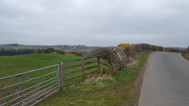
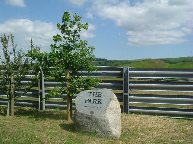
Big Wood is a large forest located in the county of Kirkcudbrightshire in Scotland. Covering an area of approximately 300 acres, the wood is known for its diverse range of flora and fauna, making it a popular destination for nature enthusiasts and hikers.

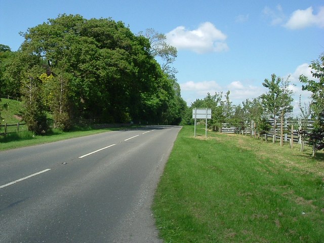
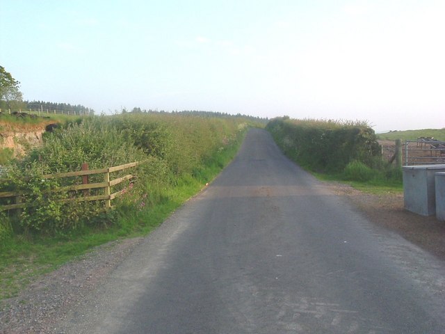
The forest is predominantly composed of native species such as oak, beech, and birch trees, providing a habitat for a variety of wildlife including red squirrels, deer, and a wide range of bird species. Visitors to Big Wood can explore the numerous walking trails that wind through the forest, offering stunning views of the surrounding countryside and glimpses of the wildlife that call the wood home.

In addition to its natural beauty, Big Wood also has a rich history, with evidence of ancient settlements and archaeological sites scattered throughout the area. The wood has been carefully managed to preserve its ecological and historical significance, ensuring that future generations can continue to enjoy its beauty and explore its hidden secrets.

Overall, Big Wood is a tranquil and picturesque forest that offers a peaceful retreat from the hustle and bustle of modern life, making it a must-visit destination for anyone seeking a connection with nature.

If you have any feedback on the listing, please let us know in the comments section below.
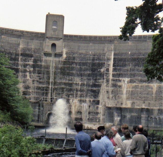
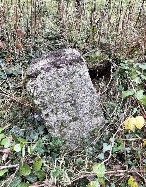
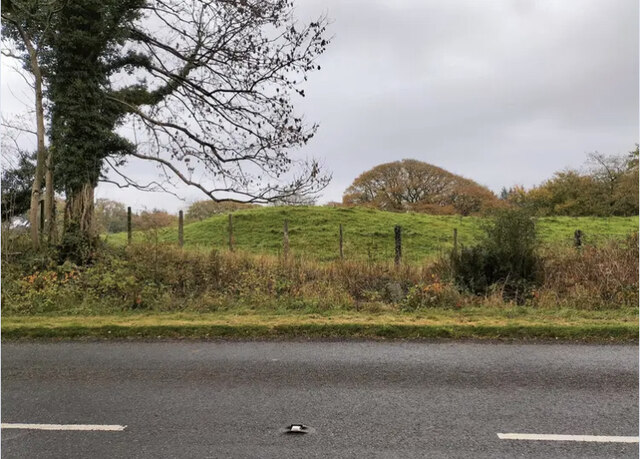
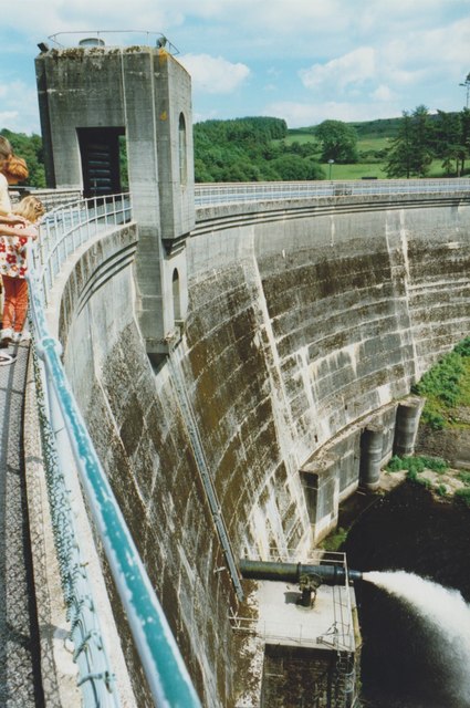
Big Wood Images

Images are sourced within 2km of 54.884864/-4.0381018 or Grid Reference NX6956. Thanks to Geograph Open Source API. All images are credited.

Tongland Dam in 1988 A guided tour including the foot of the dam
Tongland Dam in 1988
A guided tour including the foot of the dam
Cattle near Netherthird Occupying a field in the NW corner of the grid square.
Cattle near Netherthird
Occupying a field in the NW corner of the grid square.
The road to Castle Douglas This is the minor road linking Tongland and Castle Douglas. Anyone in a hurry would be well advised to use the A711 on the other side of the Dee.
The road to Castle Douglas
This is the minor road linking Tongland and Castle Douglas. Anyone in a hurry would be well advised to use the A711 on the other side of the Dee.
Old Milestone, Kirkcudbright parish Square-shaped granite stone by the A711, in the parish of Kirkcudbright (Stewartry District). It may have been set up by the Tongland Trust.

Inscription reads:-
3

Milestone Society National ID: DG_DFKK24
Old Milestone, Kirkcudbright parish
Square-shaped granite stone by the A711, in the parish of Kirkcudbright (Stewartry District). It may have been set up by the Tongland Trust. Inscription reads:- 3 Milestone Society National ID: DG_DFKK24
Old Milestone, Kirkcudbright parish Square-shaped granite stone by the A711, in the parish of Kirkcudbright (Stewartry District). It may have been set up by the Tongland Trust. 

Inscription reads:-
3

Milestone Society National ID: DG_DFKK24
Old Milestone, Kirkcudbright parish
Square-shaped granite stone by the A711, in the parish of Kirkcudbright (Stewartry District). It may have been set up by the Tongland Trust. Inscription reads:- 3 Milestone Society National ID: DG_DFKK24
Tongland Loch The view from Tongland Dam looking up Tongland Loch, the narrow reservoir for the Tongland Hydro-electric scheme.
Tongland Loch
The view from Tongland Dam looking up Tongland Loch, the narrow reservoir for the Tongland Hydro-electric scheme.
Tongland Dam
Tongland Dam
Above Tongland Loch The open countryside to the east of Tongland Loch.
Above Tongland Loch
The open countryside to the east of Tongland Loch.
Netherthird Farm A track leads to open farmland at Netherthird Farm.
Netherthird Farm
A track leads to open farmland at Netherthird Farm.
Farmland near to Mayfield The track marks the edge of the field boundary and continues to the River Dee.
Farmland near to Mayfield
The track marks the edge of the field boundary and continues to the River Dee.
Near to Barstibly A lay-by on the A711 south of Barstibly.
Near to Barstibly
A lay-by on the A711 south of Barstibly.
A shady spot Off the A711.
A shady spot
Off the A711.
A711 northbound Looking northeast.
A711 northbound
Looking northeast.
Cattle pen
Cattle pen
Homestead Looking northwest
Homestead
Looking northwest
Cattle at Netherthird
Looking south
Looking south
Tongland Loch Looking north along Tongland Loch which is really The River Dee, and which was flooded in 1935 by the creation of a dam to supply water to Tongland Power Station.<span class="nowrap"><a title="http://www.nothingtoseehere.net/2006/10/galloway_hydros_visitor_centre.html" rel="nofollow ugc noopener" href="http://www.nothingtoseehere.net/2006/10/galloway_hydros_visitor_centre.html">Link</a><img style="margin-left:2px;" alt="External link" title="External link - shift click to open in new window" src="https://s1.geograph.org.uk/img/external.png" width="10" height="10"/></span>
Tongland Loch
Looking north along Tongland Loch which is really The River Dee, and which was flooded in 1935 by the creation of a dam to supply water to Tongland Power Station.LinkExternal link
Show me another place!

Big Wood is located at Grid Ref: NX6956 (Lat: 54.884864, Lng: -4.0381018)

Unitary Authority: Dumfries and Galloway

Police Authority: Dumfries and Galloway

What 3 Words

///limes.wiped.rural. Near Kirkcudbright, Dumfries & Galloway

Nearby Locations

Big Wood Meiklewood Loch

Related Wikis

Tarff railway station

Tarff railway station served the village of Ringford, Dumfries and Galloway, Scotland from 1864 to 1965 on the Kirkcudbright Railway. == History == The...

Ringford

Ringford is a village in the historical county of Kirkcudbrightshire in Dumfries and Galloway located at grid reference NX689578 beside the Tarff Water...

Tongland

Tongland is a small village about 2 miles (3 km) north of Kirkcudbright, in the historic county of Kirkcudbrightshire in Dumfries and Galloway, Scotland...

Tongland Abbey

Tungland or Tongland Abbey was a Premonstratensian monastic community located in Tongland in the historical county of Kirkcudbrightshire in Dumfries and...

Nearby Amenities

Located within 500m of 54.884864,-4.0381018
Power: tower
Lat/Long: 54.8850123/-4.030298
The data included in this document is from www.openstreetmap.org. The data is made available under ODbL.

Have you been to Big Wood?

Leave your review of Big Wood below (or comments, questions and feedback).